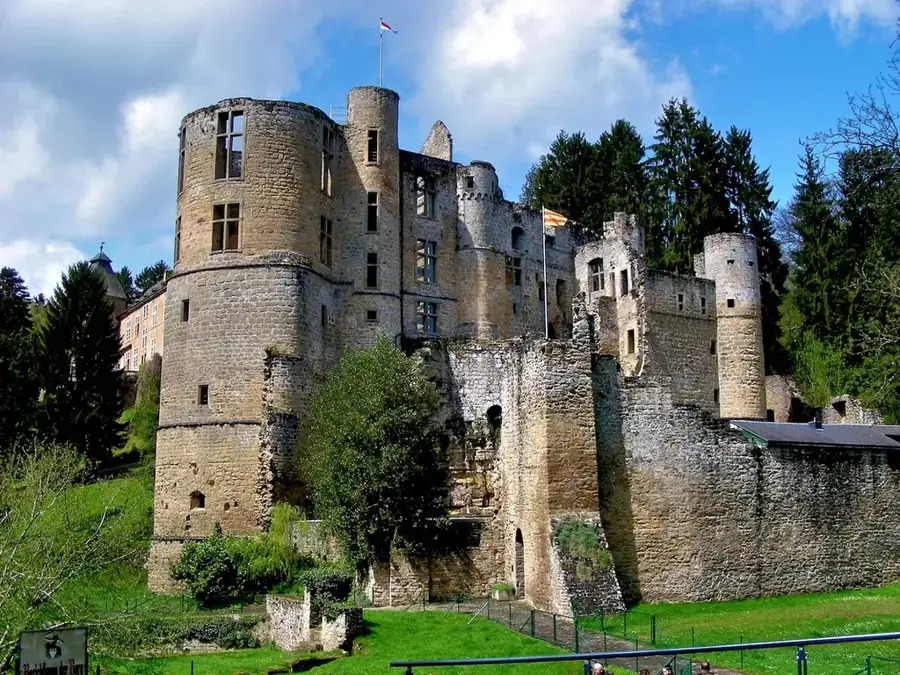
Park Sënnesräich🏛 museum
An interactive museum in Luxembourg dedicated to the discovery of the five senses.
🌐 sennesraich.lu🕒 misc; Sat-Sun 10:00-17:00
Plizio Visual Lab
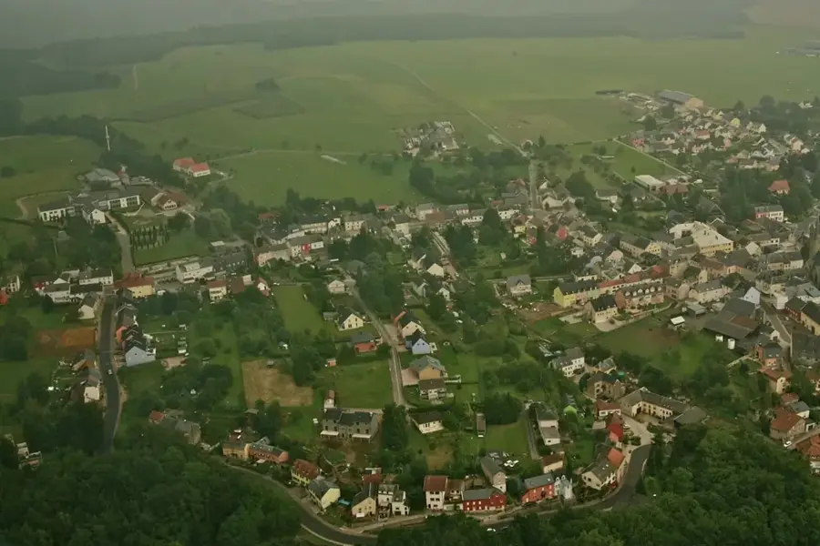
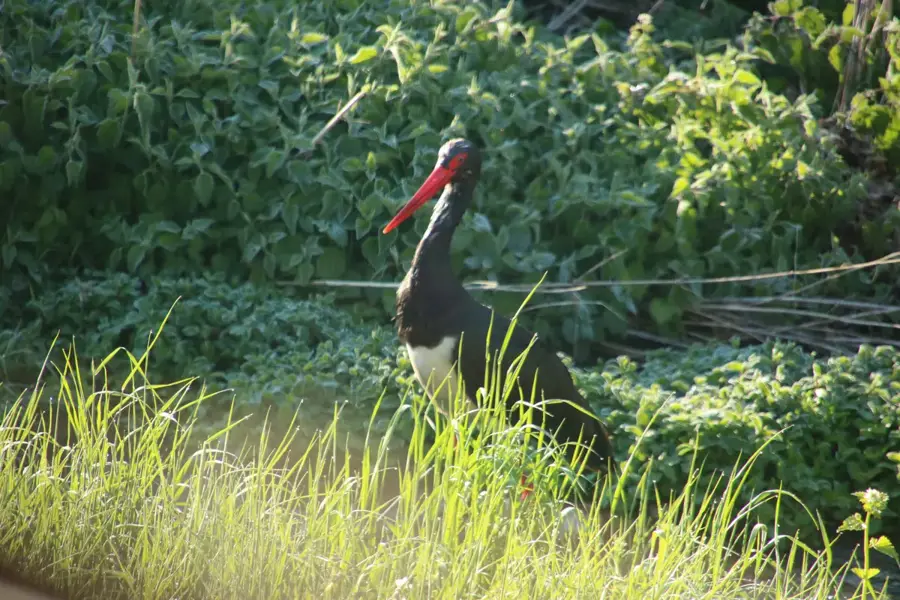
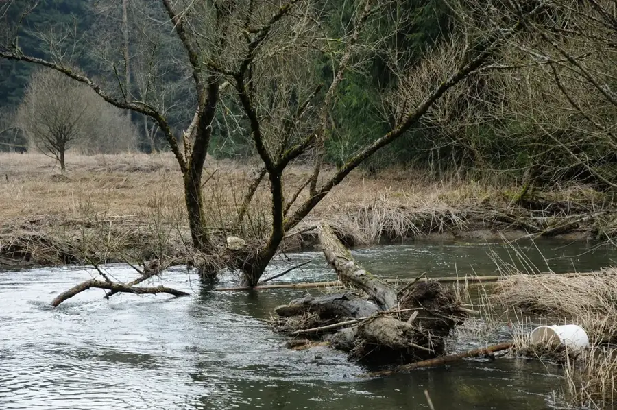
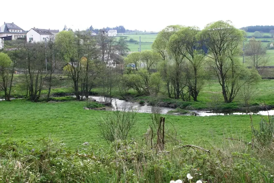
The Tretterbaach is a small yet ecologically vital stream in the far north of Luxembourg, flowing through the nature reserve of the same name. The Tretterbaach valley is one of the last sanctuaries for specialized Oesling species, such as the hazel grouse and the European wildcat. The stream winds through a mosaic of wet meadows, alder carrs, and sparse high plateaus. This protected area is part of the Natura 2000 network, dedicated to preserving rare Ardennes biotope types. The stream's natural dynamics remain largely undisturbed, resulting in the formation of gravel banks and pools where brown trout can spawn. For visitors, the valley features an almost mystical silence, broken only by the murmur of flowing water. Targeted conservation projects have pushed back spruce monocultures in the floodplains to give native deciduous forest communities room to thrive. The Tretterbaach stands as a flagship project for the restoration of highland streams.
The most pleasant time to visit is Jun–Aug.
| Jan | Feb | Mar | Apr | May | Jun | Jul | Aug | Sep | Oct | Nov | Dec | |
|---|---|---|---|---|---|---|---|---|---|---|---|---|
| Avg °C | 0 | 1 | 4 | 8 | 12 | 16 | 18 | 17 | 14 | 9 | 5 | 1 |
| Rain mm | 75 | 64 | 63 | 49 | 75 | 75 | 74 | 81 | 59 | 67 | 72 | 84 |
Notable places around
Where do you start? We build the route here, with stops and country notes along the way.
© OpenStreetMap contributors · OpenRouteService
An interactive museum in Luxembourg dedicated to the discovery of the five senses.