Plizio Visual Lab
Trëtterbaach Valley
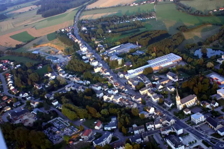
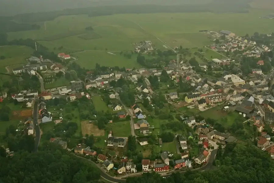
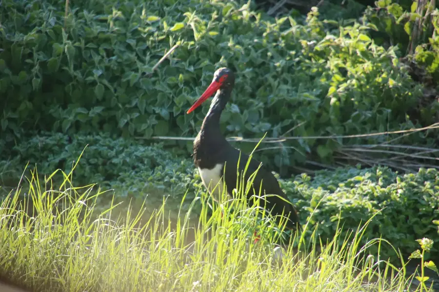
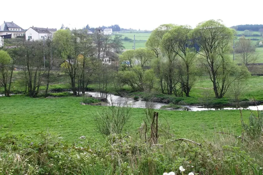
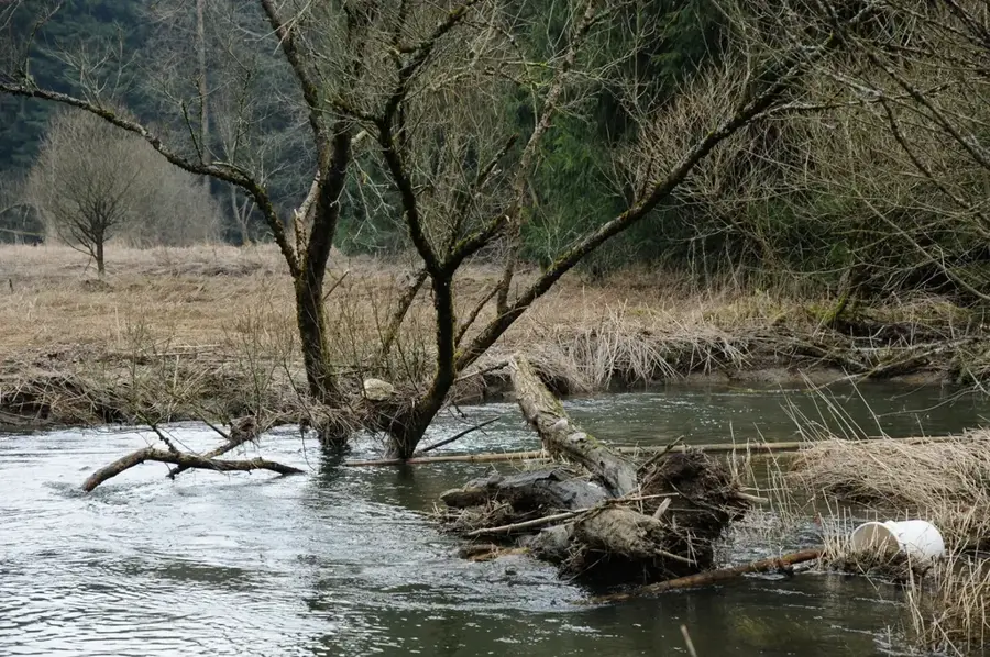
The Tretterbaach valley in northern Luxembourg is regarded as one of the wildest and most pristine valleys in the country. Far from any settlements, nature has been preserved here in a state typical of the 19th-century Ardennes. The valley is shaped by the eponymous Tretterbaach stream, which flows through marshy floodplains, dense spruce forests, and natural alder carrs. The area is a sanctuary for the black stork, which finds the necessary solitude here to raise its young. Geologically, the valley is characterized by hard Oesling slate, which frequently emerges as rugged outcrops on the slopes. The valley's coolness and humidity foster a rich flora of mosses and lichens, giving the rocks and trees an almost fairytale-like appearance. By eschewing intensive forestry, true wilderness is allowed to re-emerge in the Tretterbaach valley, making it a valuable subject for ecological research.
- Location: Luxembourg
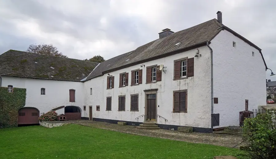
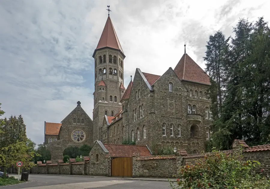
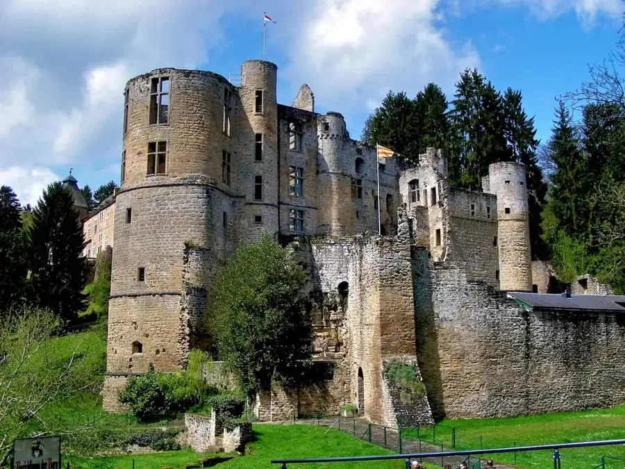
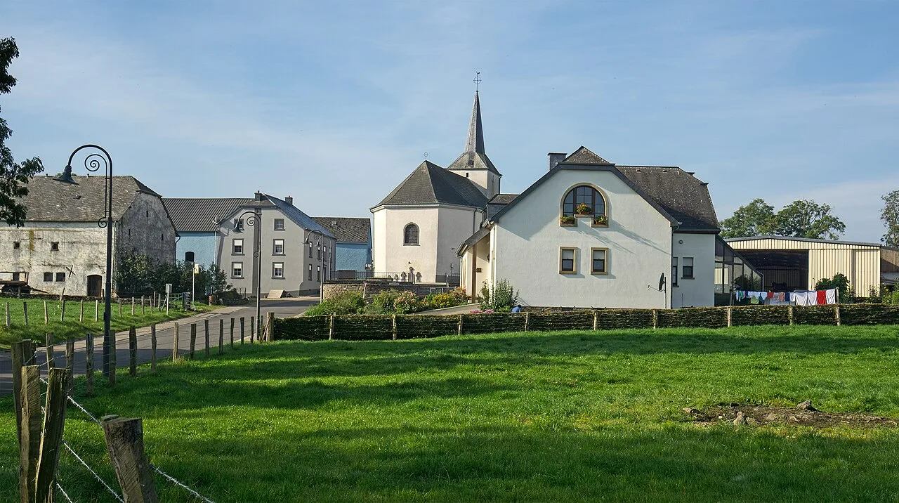
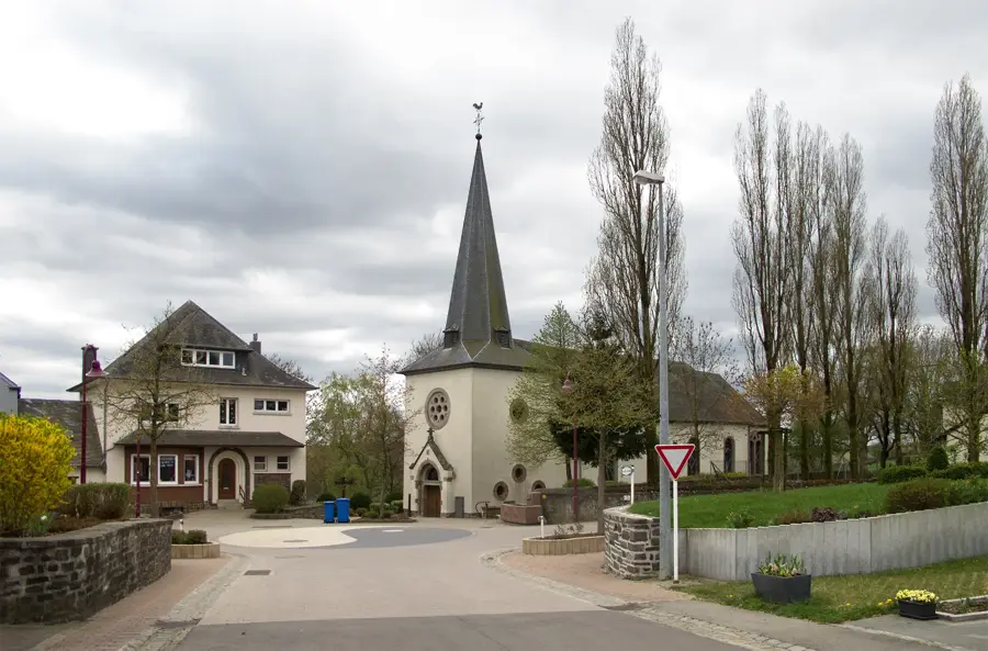
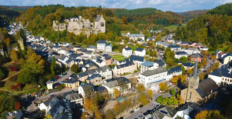
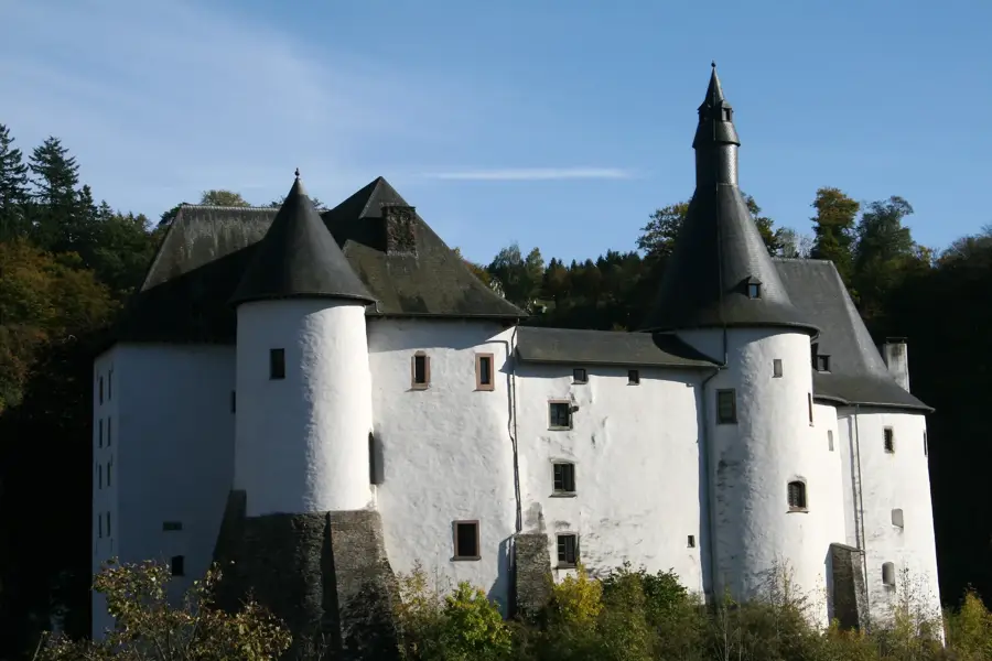
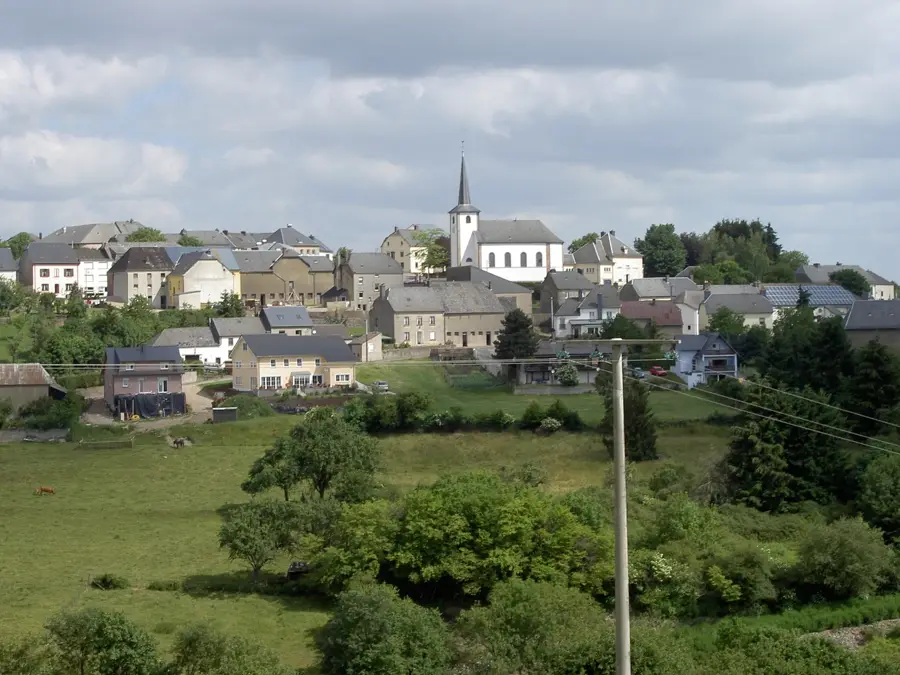
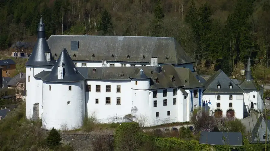
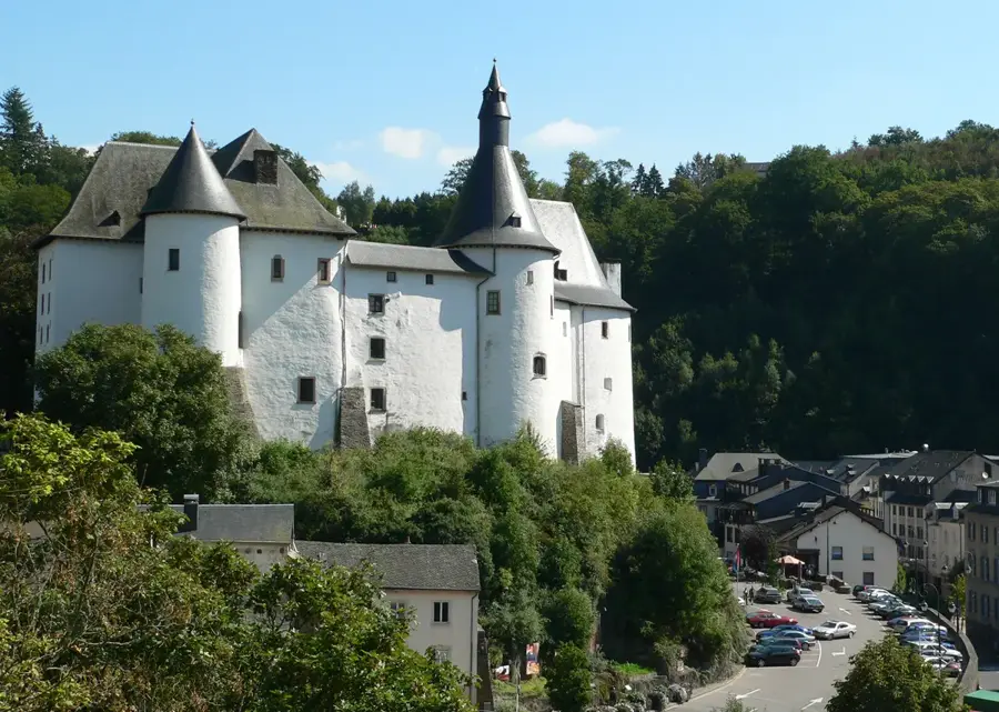
- Top sights: Nikloskierch · Saint-Blaise · Saint-Bernard
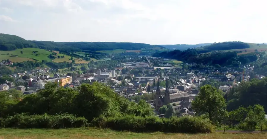
- Nearby: Wiltz (10 km)
Best time to visit & climate
The most pleasant time to visit is Jun–Aug.
| Jan | Feb | Mar | Apr | May | Jun | Jul | Aug | Sep | Oct | Nov | Dec | |
|---|---|---|---|---|---|---|---|---|---|---|---|---|
| Avg °C | 0 | 1 | 4 | 8 | 12 | 16 | 18 | 17 | 14 | 9 | 5 | 1 |
| Rain mm | 75 | 64 | 63 | 49 | 75 | 75 | 74 | 81 | 59 | 67 | 72 | 84 |
📋 Practical info
Geography
Explore nearby
Notable places around
Route planner — Car & Motorhome
Where do you start? We build the route here, with stops and country notes along the way.
© OpenStreetMap contributors · OpenRouteService
Sights in the town Trëtterbaach Valley (6)
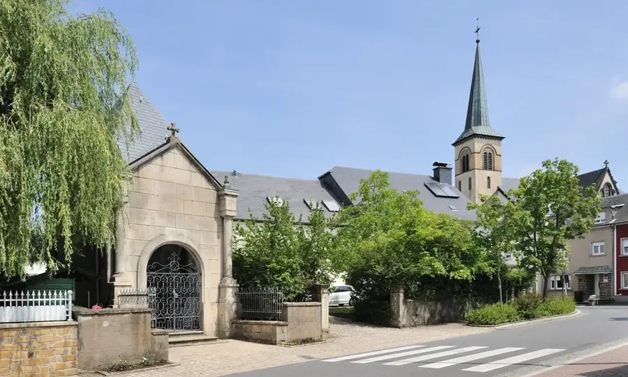
Saint-Bernard
Chapel in Luxembourg, dedicated to Saint Bernard of Clairvaux.
Park Sënnesräich
Adventure park in the Trëtterbaach valley, offering sensory experiences in nature.
Sights nearby
Frequently asked questions
How long is the hiking trail in the Trëtterbaachtal valley?
Are dogs allowed in the nature reserve?
What is special about the flora here?
Are there parking spaces nearby?
Is the path suitable for strollers?
Trëtterbaach Valley: where is it located?
Trëtterbaach Valley: what is there to see?
Trëtterbaach Valley: when is the best time to visit?
Trëtterbaach Valley: why is it worth visiting?

Nearby cities

History & landmarks
Nature
More places