Plizio Visual Lab
Plateau des Tailles
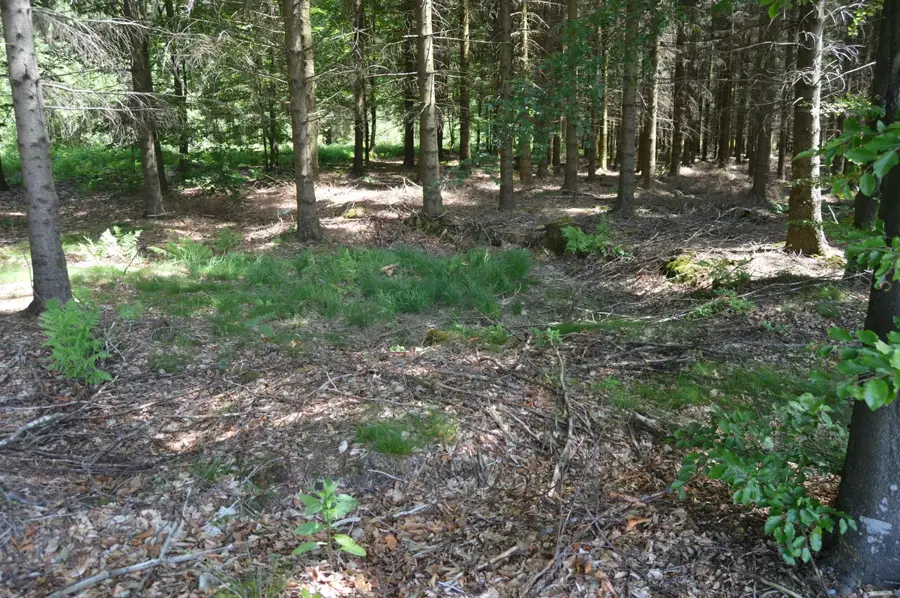
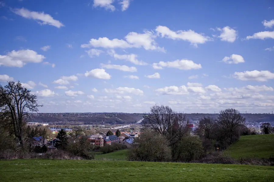
The Plateau des Tailles forms one of the highest and most rugged landscapes in the entire Ardennes, extending mainly across the northeastern part of the Luxembourg province. With elevations soaring up to 652 meters at the Baraque de Fraiture, it holds the title of the coldest and wettest region in Belgium. The unforgiving climate and the impermeable, quartzite-rich bedrock have fostered the development of extensive, ecologically invaluable raised bogs and heathlands that store water like a giant sponge. Because of this, numerous vital rivers of the Ardennes, such as the Ourthe and the Aisne, originate here. The largely inaccessible and frequently waterlogged terrain was used only sparingly for agriculture for a long time, allowing the plateau to retain its wild, primordial aura to this day. In winter, the highland area around the Baraque de Fraiture transforms into an unexpected haven for winter sports enthusiasts, while in summer it serves as a secluded sanctuary for hikers.
- Location: Belgium
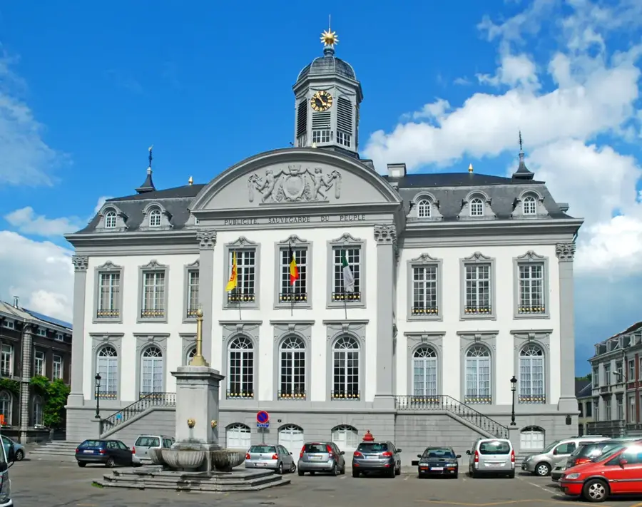
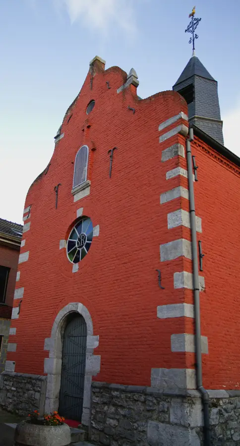
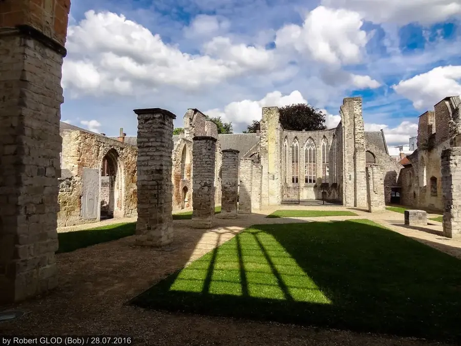
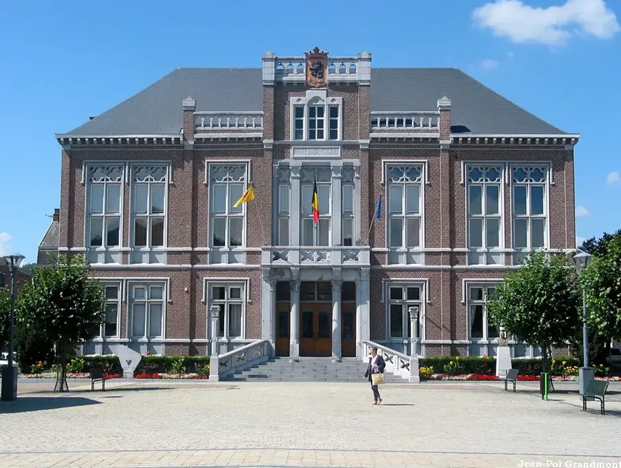
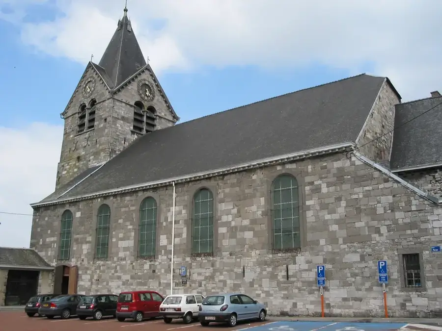
- Top sights: Trou des Massotais · Musée de la 83rd Infantry Division · Stele Jean Marie Dumont
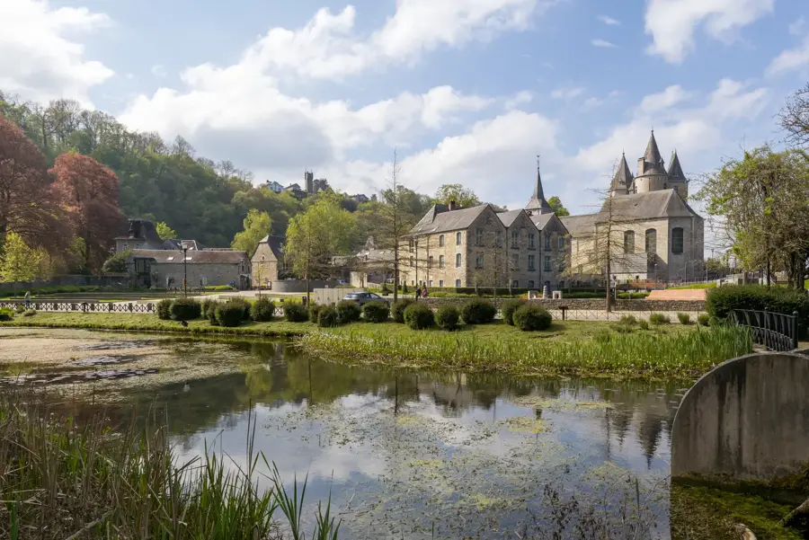
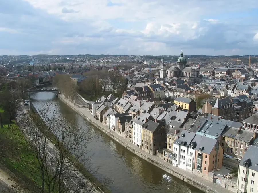
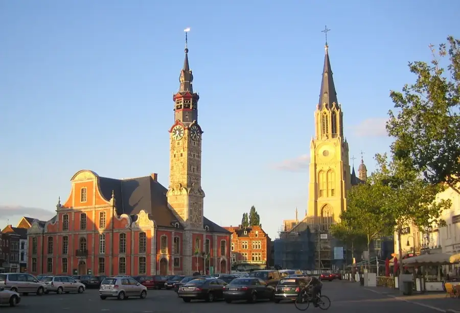
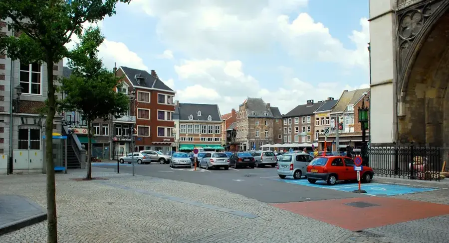
- Nearby: Vielsalm (12 km)
Best time to visit & climate
The most pleasant time to visit is Jun–Aug.
| Jan | Feb | Mar | Apr | May | Jun | Jul | Aug | Sep | Oct | Nov | Dec | |
|---|---|---|---|---|---|---|---|---|---|---|---|---|
| Avg °C | 0 | 1 | 4 | 8 | 12 | 16 | 18 | 17 | 14 | 9 | 5 | 1 |
| Rain mm | 75 | 64 | 63 | 49 | 75 | 75 | 74 | 81 | 59 | 67 | 72 | 84 |
📋 Practical info
Geography
Facts
- Reaches a peak elevation of 652 meters at the Baraque de Fraiture
- Officially recognized as the coldest and wettest region in Belgium
- Characterized by expansive, ecologically priceless raised peat bogs
- Functions as a massive natural sponge and water reservoir
- Serves as the source for major rivers like the Ourthe and Aisne
- Transforms into a surprising hub for winter sports during the snowy season
Explore nearby
Notable places around
Route planner — Car & Motorhome
Where do you start? We build the route here, with stops and country notes along the way.
© OpenStreetMap contributors · OpenRouteService
Sights in the town Plateau des Tailles (3)
Sights nearby
Frequently asked questions
How high is the Plateau des Tailles?
Can you go skiing there in winter?
What is the typical landscape here?
Where does the name 'des Tailles' come from?
Are there nature reserves on the plateau?
Plateau des Tailles: where is it located?
Plateau des Tailles: what is there to see?
Plateau des Tailles: when is the best time to visit?
Plateau des Tailles: why is it worth visiting?

Nearby cities
History & landmarks