Plizio Visual Lab
Stolin Lowland
Weather…
Water temperature…
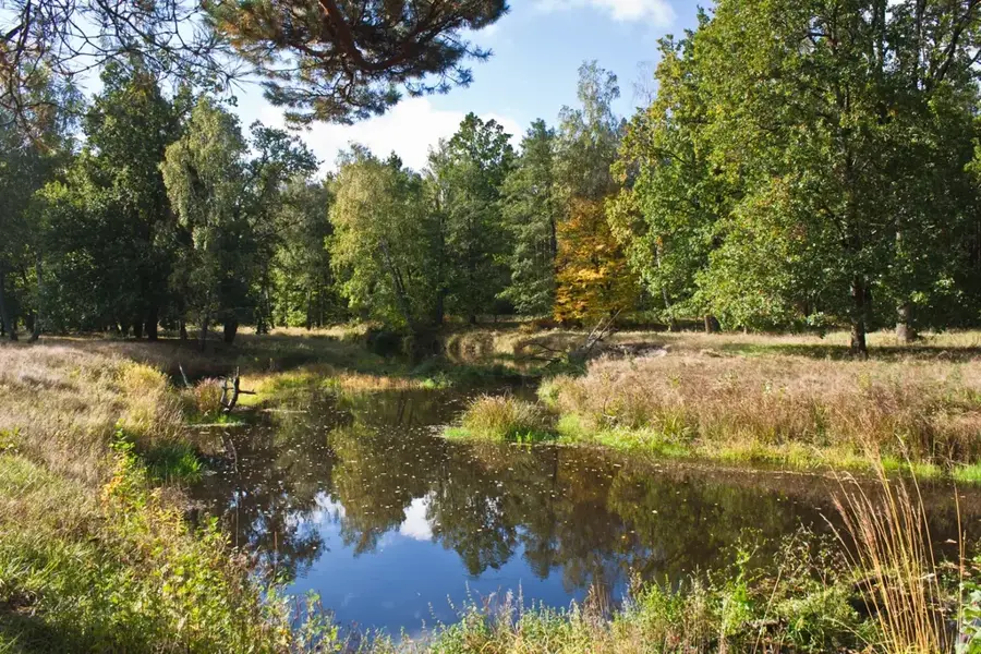
The Stolin Lowland is located in the deep south of Belarus, directly bordering Ukraine. With elevations frequently hovering around 125 meters above sea level, it ranks among the lowest geographical regions in the country. The landscape is fundamentally shaped by the wide, highly active alluvial floodplains of the major Pripyat tributaries, particularly the Horyn and Styr rivers. These broad river valleys are notorious for their massive, often unpredictable spring floods that regularly inundate large tracts of land and constantly remodel the terrain. A remarkable geomorphological feature of the Stolin Lowland is its prominent inland dunes, wind-sculpted (aeolian) sand formations, some of which move as active migrating dunes across the sparsely vegetated areas. Because of the highly sandy soils, the natural agricultural fertility is quite low, a condition that has favored the development of extensive, species-rich floodplain forests composed of oak and hornbeam in the areas free from severe flooding.
- Location: Belarus
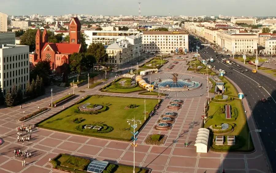
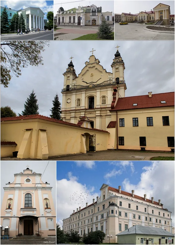
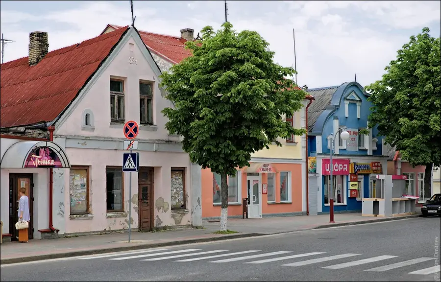
- Nearby: Stolin (11 km)
Best time to visit & climate
The most pleasant time to visit is Jun–Aug.
| Jan | Feb | Mar | Apr | May | Jun | Jul | Aug | Sep | Oct | Nov | Dec | |
|---|---|---|---|---|---|---|---|---|---|---|---|---|
| Avg °C | -6 | -5 | 1 | 8 | 14 | 18 | 21 | 20 | 15 | 8 | 2 | -3 |
| Rain mm | 46 | 38 | 44 | 42 | 74 | 77 | 95 | 61 | 43 | 56 | 49 | 49 |
📋 Practical info
Geography
Explore nearby
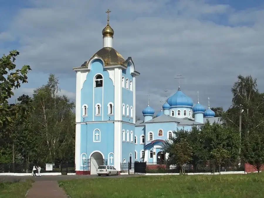
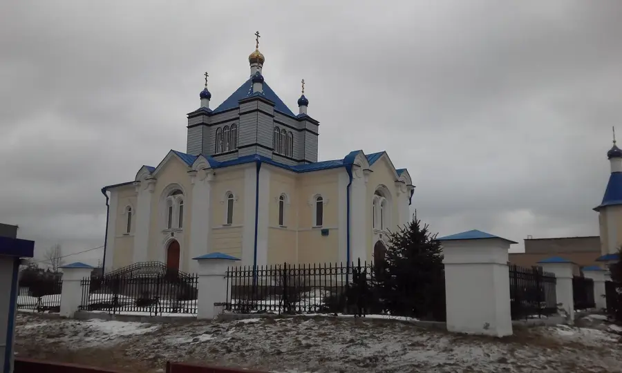
Notable places around
Route planner — Car & Motorhome
Where do you start? We build the route here, with stops and country notes along the way.
© OpenStreetMap contributors · OpenRouteService
Sights nearby
Frequently asked questions
What does the Stolin Lowland offer tourists?
Which rivers flow here?
Is the area suitable for families?
Are there rare plants here?
Are the paths accessible?
Stolin Lowland: where is it located?
Stolin Lowland: when is the best time to visit?
Stolin Lowland: why is it worth visiting?

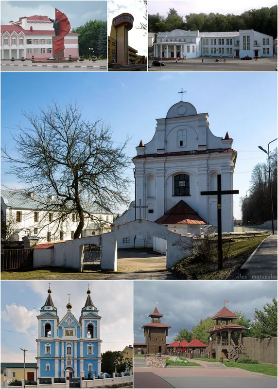
Nearby cities