Plizio Visual Lab
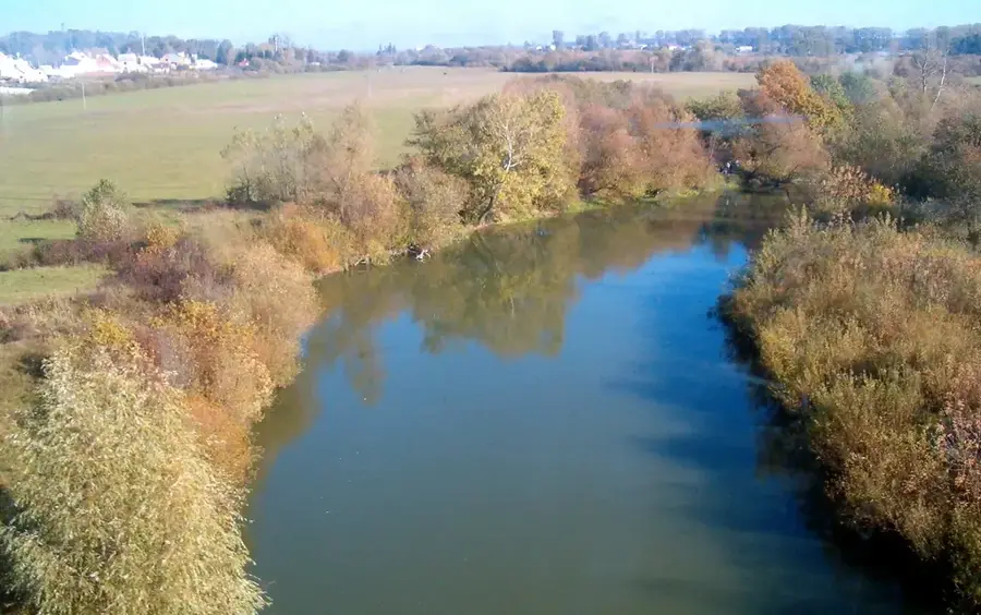
Horyn River
Weather…
Water temperature…
The Horyn is a significant right tributary of the Pripyat, originating in the Volyn-Podolsk Upland in Ukraine and entering Belarus in the Stolin district. The river is characterized by its highly meandering course and a wide, fertile floodplain that is subject to seasonal flooding. Historically, the Horyn served as an important trade route and was used for rafting timber from the dense forests of the Polesie region. In Belarus, the river is of particular significance to the town of David-Haradok, where it shapes the urban landscape and local economy. The banks of the Horyn are rich in suspended sediments, giving the water a characteristic turbidity while providing valuable habitats for numerous fish species such as pike and bream. Despite some partial regulation in the past, the river has retained much of its natural character in its Belarusian section.
- Location: Belarus
- Nearby: Stolin (16 km)
📋 Practical info
Geography
Facts
- The total length of the Horyn is 659 km.
- Of this, 82 km are located within the territory of Belarus.
- The total drainage basin encompasses 27,700 km².
- The river is navigable up to the town of David-Haradok.
- The width of the floodplain reaches up to 4 km in the Stolin district.
- The average discharge at the mouth is 110 m³/s.
Explore nearby
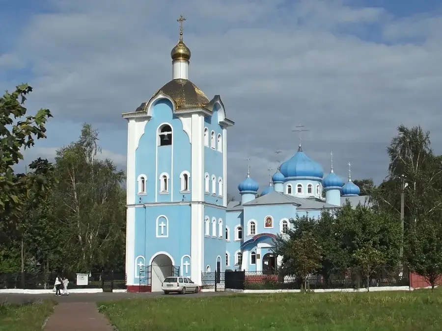
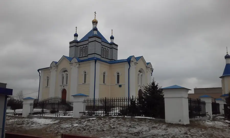
Notable places around
Route planner — Car & Motorhome
Where do you start? We build the route here, with stops and country notes along the way.
© OpenStreetMap contributors · OpenRouteService
Sights nearby
Frequently asked questions
Where does the Horyn rise?
Is the river navigable?
What birds can be seen here?
Is there a risk of flooding?
Can you go fishing in the river?
Horyn River: where is it located?
Horyn River: why is it worth visiting?

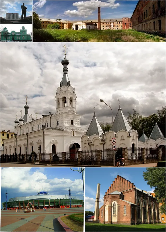
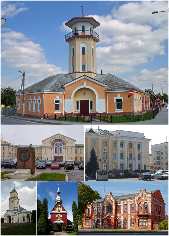
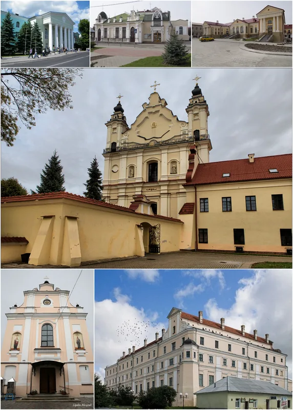
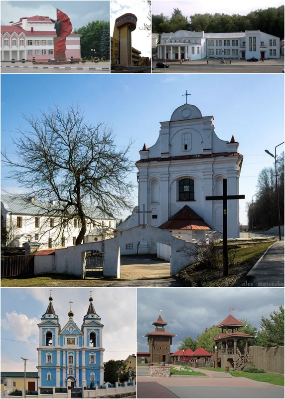
Nearby cities