Plizio Visual Lab
Luninets Lowland
Weather…
Water temperature…
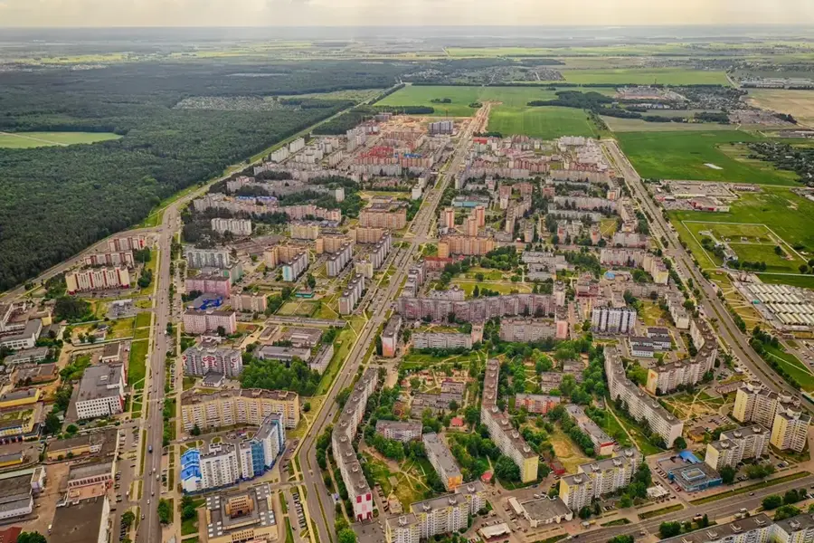
The Luninets Lowland is a prominent part of the central Belarusian Polesia, situated mainly in the eastern portion of the Brest Region. This lowland is a broad, flat depression formed during the Quaternary period by the interaction of glacial meltwaters and the erosional activity of the Pripyat, Tsna, and Lan rivers. Absolute elevations rarely exceed 140 meters, making the region highly susceptible to seasonal flooding. Large areas of the lowland were originally inaccessible bogs and marshes, which were partially converted into agricultural land through large-scale reclamation projects in the 20th century. Despite this, the soil often remains waterlogged, dictating specialized crop cultivation and forestry practices. Within the flat plains, occasional small elevations in the form of sand dunes or moraine remnants provide dry sites for settlements. The ecological significance of the remaining natural spaces is high, as they function as vital water reservoirs and habitats for rare bird species.
- Location: Belarus
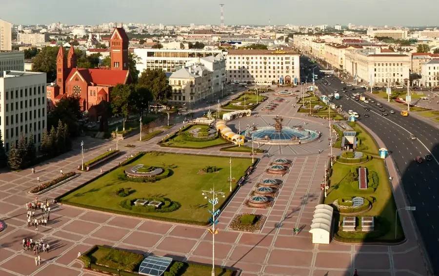
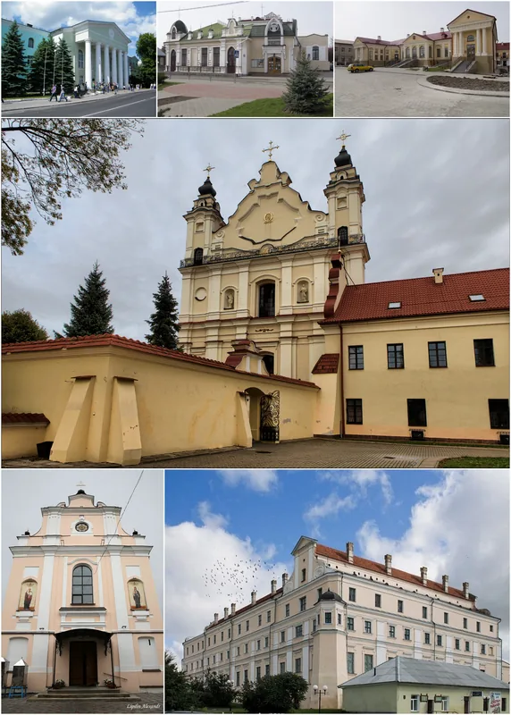
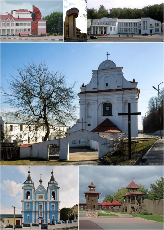
- Nearby: Luninyets (6 km)
Best time to visit & climate
The most pleasant time to visit is Jun–Aug.
| Jan | Feb | Mar | Apr | May | Jun | Jul | Aug | Sep | Oct | Nov | Dec | |
|---|---|---|---|---|---|---|---|---|---|---|---|---|
| Avg °C | -6 | -5 | 1 | 8 | 14 | 18 | 21 | 20 | 15 | 8 | 2 | -3 |
| Rain mm | 46 | 38 | 44 | 42 | 74 | 77 | 95 | 61 | 43 | 56 | 49 | 49 |
📋 Practical info
Geography
Facts
- Elevation typically stays between 125 and 140 meters
- Drained by the Pripyat River and its tributaries
- Site of major swamp reclamation starting in 1950
- Characterized by alluvial sand and peat soils
- A key region for vegetable production in Belarus
- Terrain features numerous oxbow lakes and marshes
Explore nearby
Notable places around
Route planner — Car & Motorhome
Where do you start? We build the route here, with stops and country notes along the way.
© OpenStreetMap contributors · OpenRouteService
Sights nearby
Frequently asked questions
What characterizes the Luninets Lowland?
Can you go hiking here?
What animals live in the lowland?
When is the best time to visit?
Are there parking spaces nearby?
Luninets Lowland: where is it located?
Luninets Lowland: when is the best time to visit?
Luninets Lowland: why is it worth visiting?

Nearby cities