Plizio Visual Lab
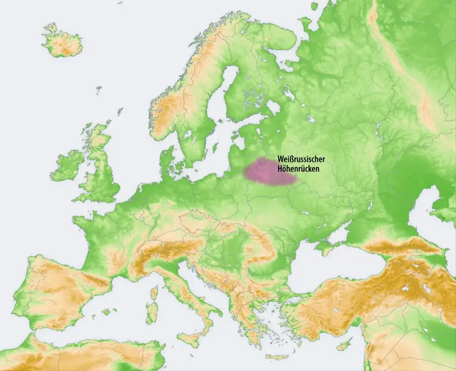
Grodno Upland
Weather…
Water temperature…
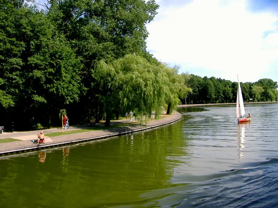
The Grodno Upland in the far west of Belarus extends right along the border with Poland and is characterized by a much more moderate moraine relief. Reaching a maximum elevation of 247 meters, it is generally lower and less rugged than other segments of the broader Belarusian Ridge. The relief is defined by gently rounded, dome-shaped hills that trace their origins back to glacial deposits from the Saalian (Sozh) glaciation. Geographically, the landscape's most dramatic feature is the deep valley of the Neman (Nioman) River, which bisects the upland diagonally, carving out steep, photogenic river terraces and escarpments. Despite its glacial origins, the Grodno Upland benefits from relatively favorable soil compositions, featuring mixtures of loam and loess. These reasonably fertile conditions allow for over 40 percent of the plateau to be intensively cultivated for agriculture, while the steeper banks of the Neman remain heavily forested with conifers.
- Location: Belarus
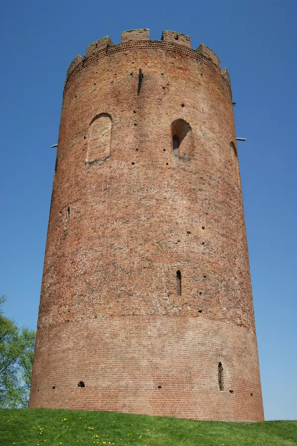
- Top sights: Aporny punkt No. 16 Grodzenskai krepastsi · Niametskae skhovishcha 1-i susvetnai vainy · Fort No. 6
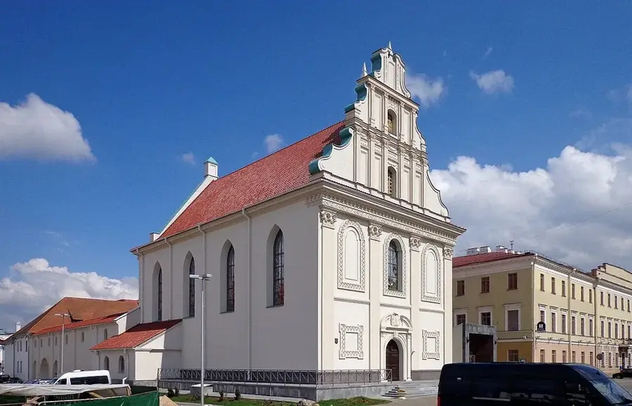
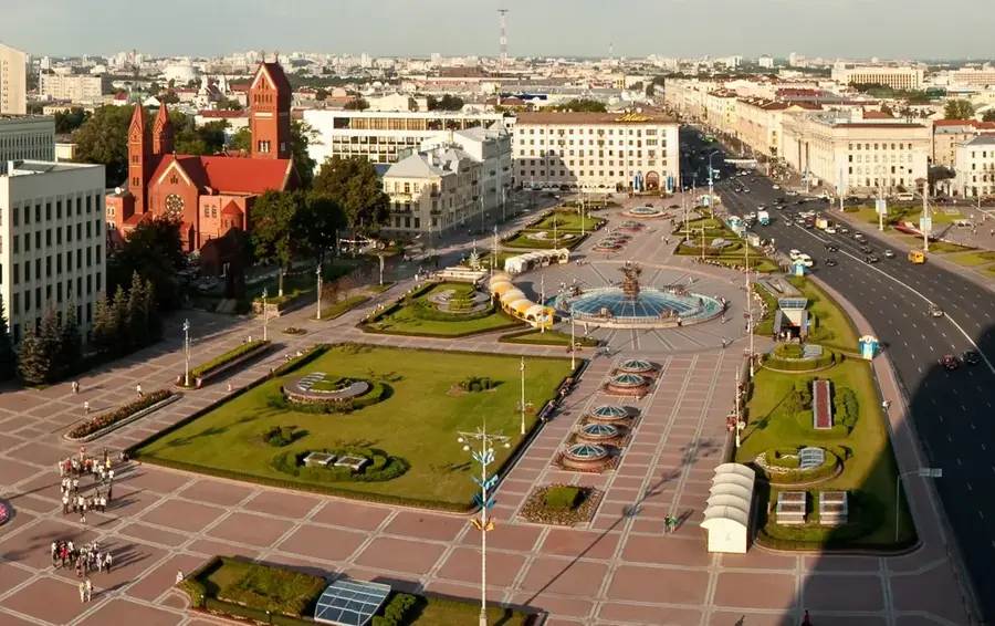
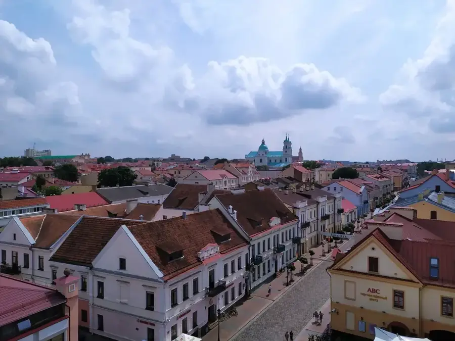
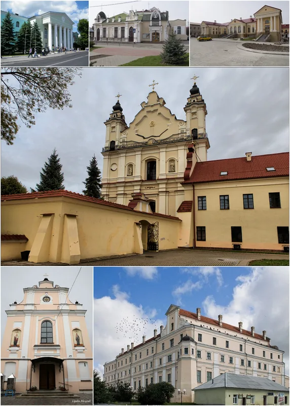
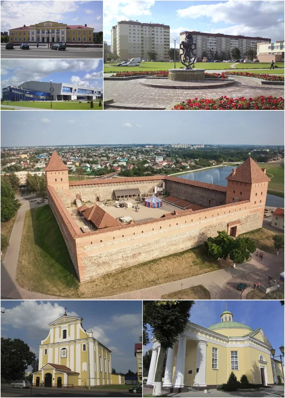
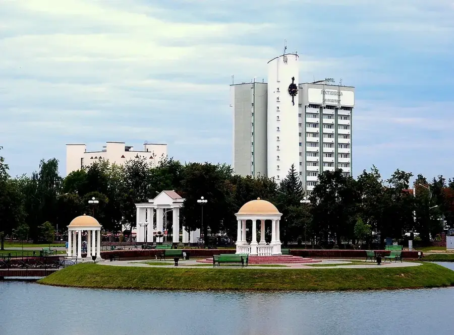
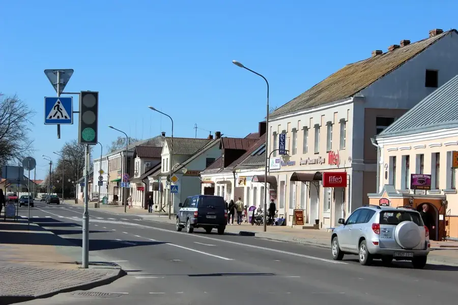
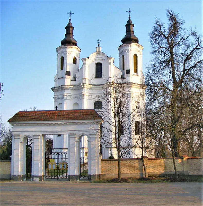
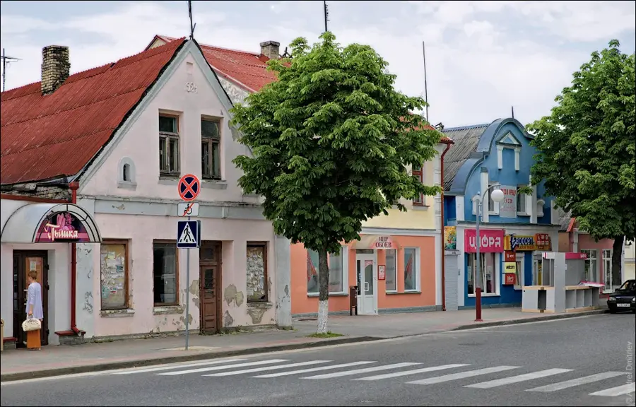
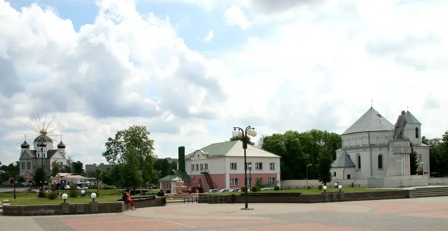
- Nearby: Grodno (8 km)
Best time to visit & climate
The most pleasant time to visit is Jun–Aug.
| Jan | Feb | Mar | Apr | May | Jun | Jul | Aug | Sep | Oct | Nov | Dec | |
|---|---|---|---|---|---|---|---|---|---|---|---|---|
| Avg °C | -6 | -4 | 1 | 7 | 13 | 17 | 19 | 19 | 13 | 7 | 2 | -3 |
| Rain mm | 45 | 38 | 40 | 41 | 71 | 70 | 90 | 76 | 54 | 56 | 48 | 48 |
📋 Practical info
Geography
Explore nearby
Notable places around
Route planner — Car & Motorhome
Where do you start? We build the route here, with stops and country notes along the way.
© OpenStreetMap contributors · OpenRouteService
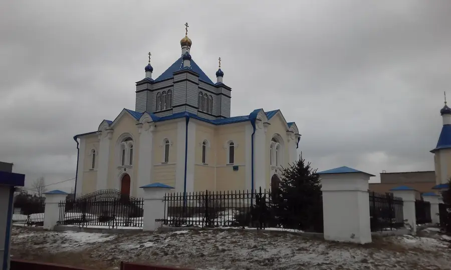
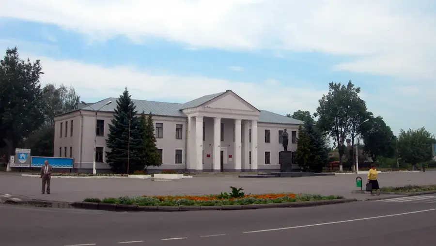
Sights in the town Grodno Upland (5)
Niametskae skhovishcha 1-i susvetnai vainy (vodny rezervuar forta No. 7)
German shelter with water reservoir for Fort No. 7, now ruined.
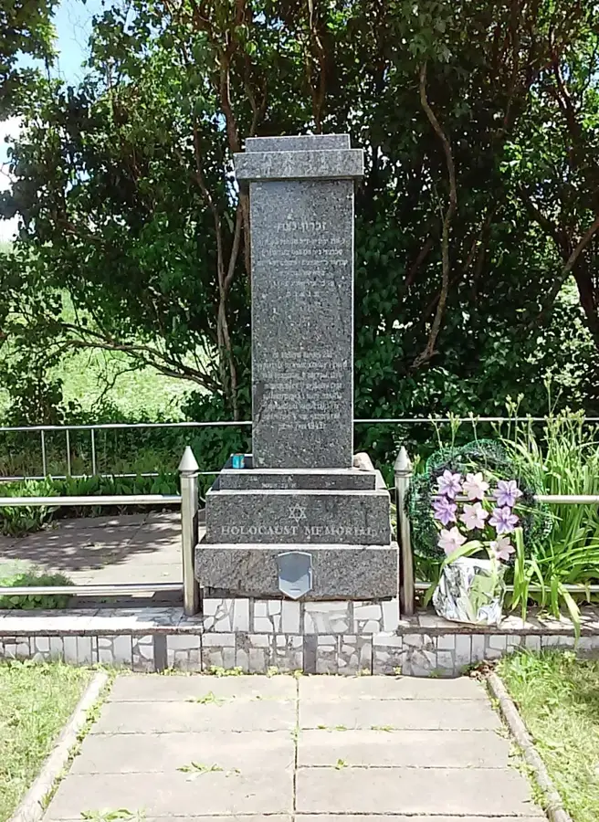
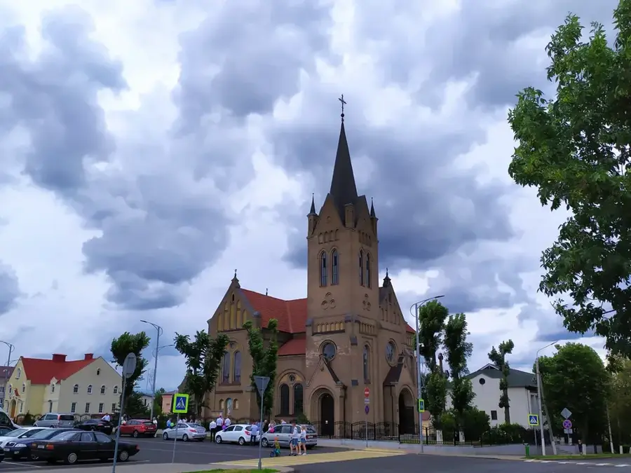
Sights nearby
Frequently asked questions
How high is the Grodno Upland?
Which river flows through it?
Are there viewpoints over the Neman?
How was the upland formed?
Can you ski there?
Grodno Upland: where is it located?
Grodno Upland: what is there to see?
Grodno Upland: when is the best time to visit?
Grodno Upland: why is it worth visiting?

Nearby cities