Plizio Visual Lab
Mughan Steppe
Weather…
Water temperature…
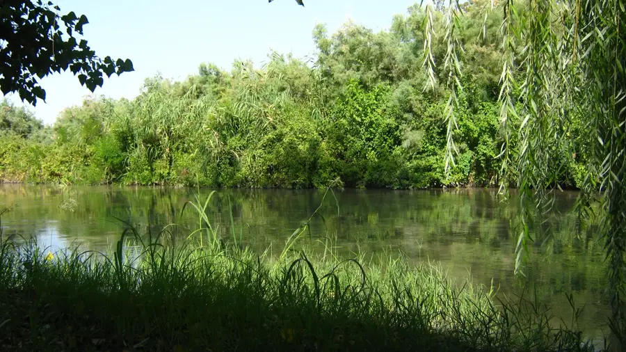
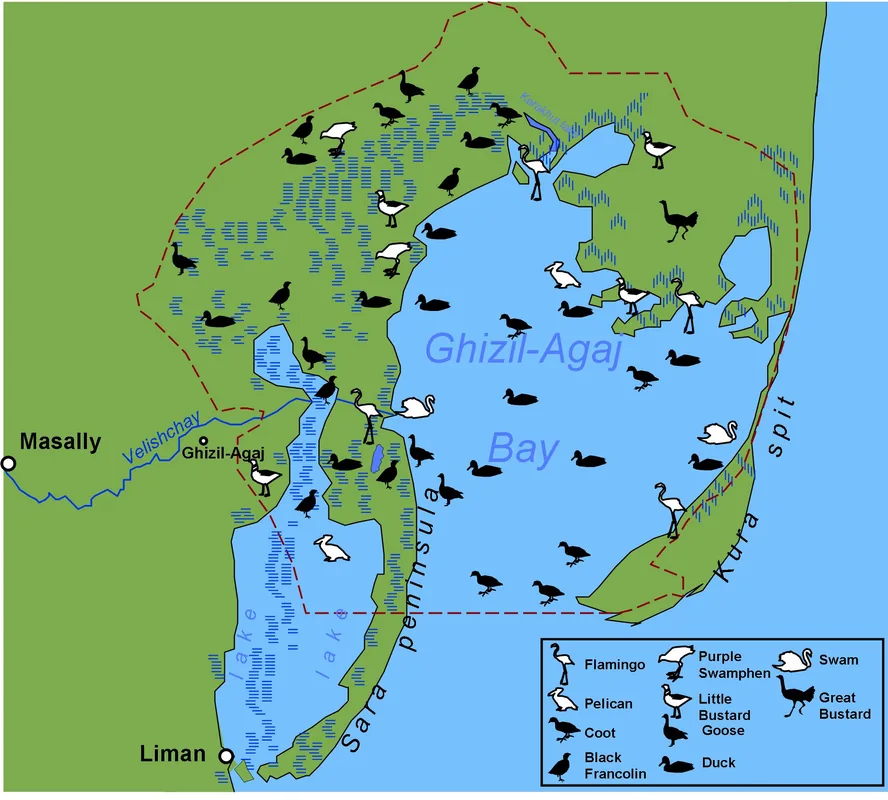
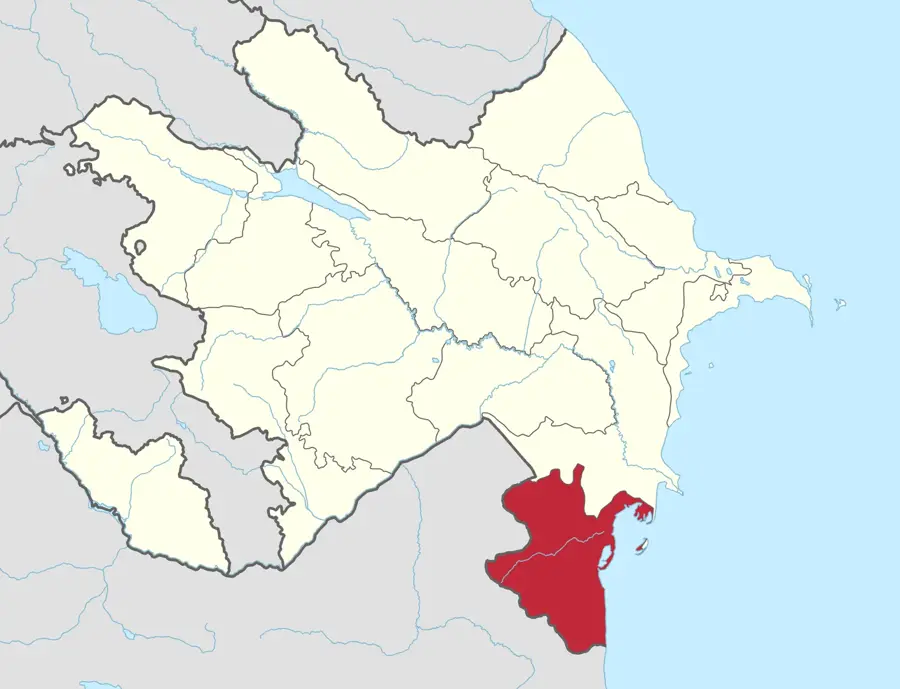
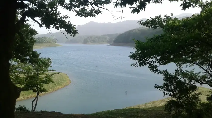
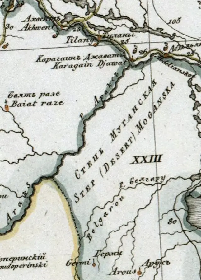
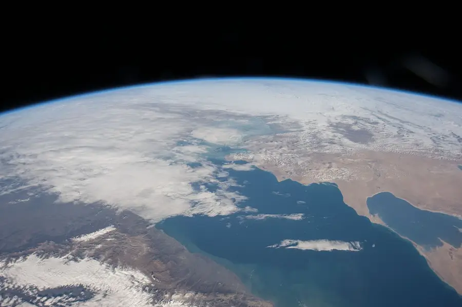
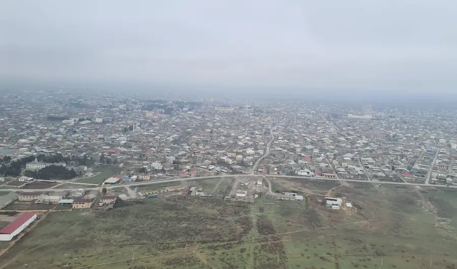
The Mughan Steppe extends across southeastern Azerbaijan between the Kura and Aras rivers and continues into Iran. It is a flat alluvial plain formed by the continuous deposition of river sediments. The climate is dry-subtropical, characterized by extremely hot summers and mild winters. Thanks to its fertile soils and intensive irrigation, the Mughan Steppe is one of the country's most vital agricultural regions, famous for growing cereals, cotton, and grapes. Historically, the steppe was a significant setting for major political events, such as the coronation of Nadir Shah in 1736. Today, the area is also of ecological interest as it serves as a wintering ground for numerous migratory bird species. Water management plays a decisive role here, with canals like the Mughan Canal forming the backbone of the regional economy.
- Location: Azerbaijan
- Top sights: Gun@sli, Bilasuvar · Çaylı, Bilasuvar · Ağayrı
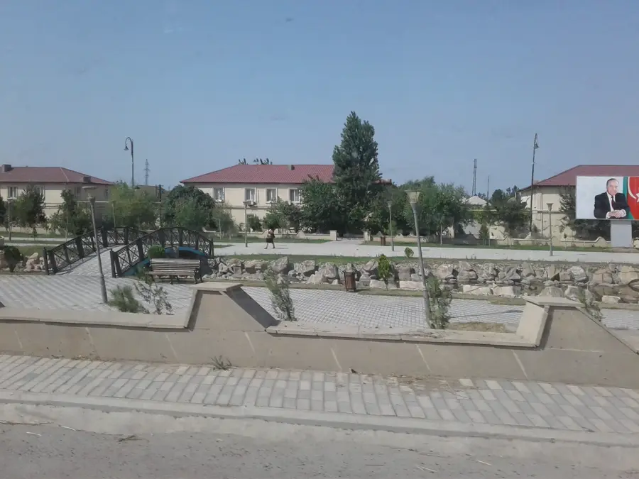
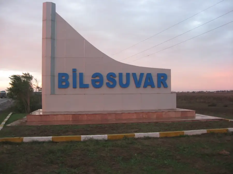
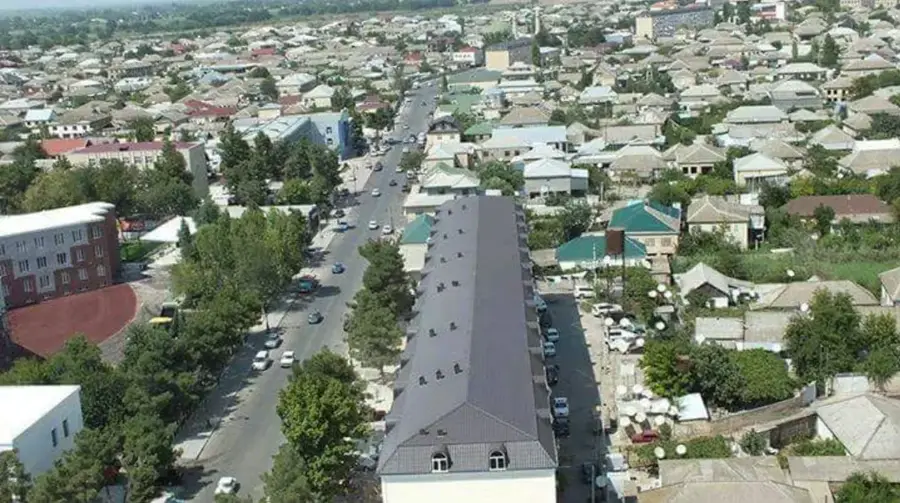
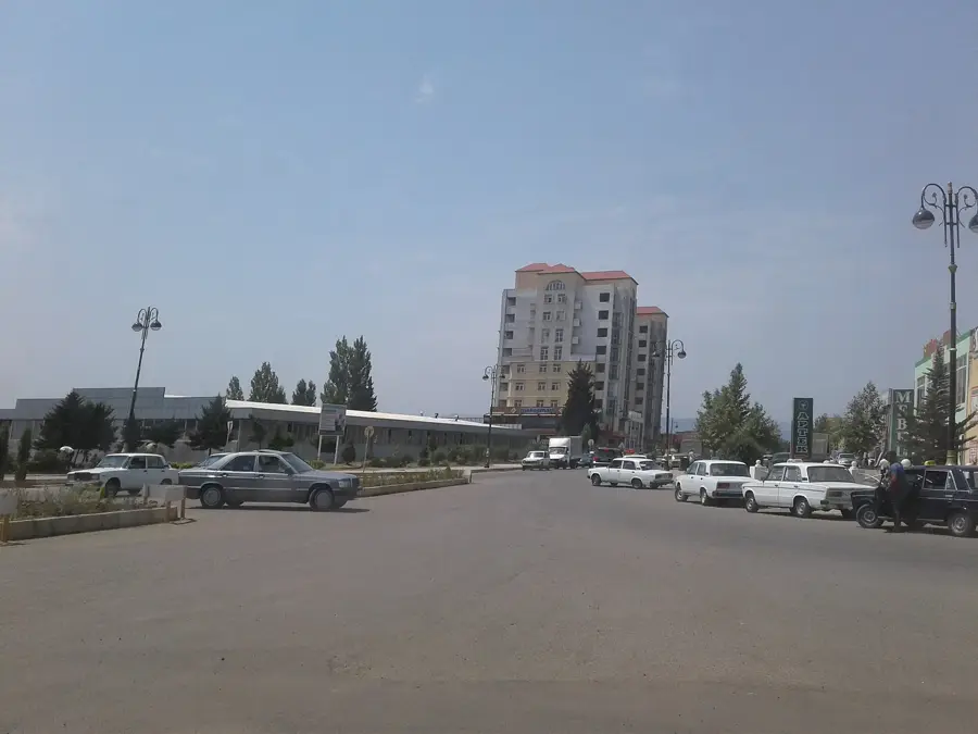
- Nearby: Bilasuvar (7 km)
Best time to visit & climate
The most pleasant time to visit is May, Jun, Sep.
| Jan | Feb | Mar | Apr | May | Jun | Jul | Aug | Sep | Oct | Nov | Dec | |
|---|---|---|---|---|---|---|---|---|---|---|---|---|
| Avg °C | 6 | 6 | 10 | 14 | 21 | 26 | 29 | 28 | 24 | 18 | 12 | 7 |
| Rain mm | 28 | 30 | 34 | 31 | 25 | 15 | 7 | 12 | 40 | 54 | 49 | 30 |
📋 Practical info
Geography
Facts
- The steppe is located between the lower reaches of the Kura and Aras rivers.
- A portion of the Mughan Steppe is situated within Iranian territory.
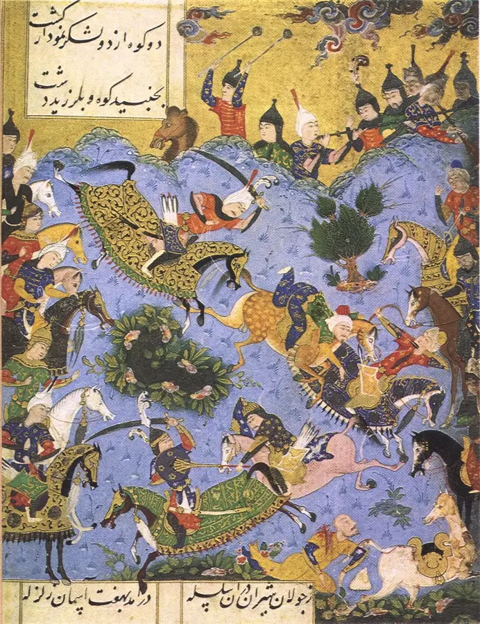
- Nadir Shah was crowned ruler in the Mughan Steppe in 1736.
- The region is renowned for its high-quality cotton production.
- The steppe serves as an important wintering site for waterfowl.
- Numerous irrigation canals crisscross the entire steppe region.
Explore nearby
Notable places around
Route planner — Car & Motorhome
Where do you start? We build the route here, with stops and country notes along the way.
© OpenStreetMap contributors · OpenRouteService
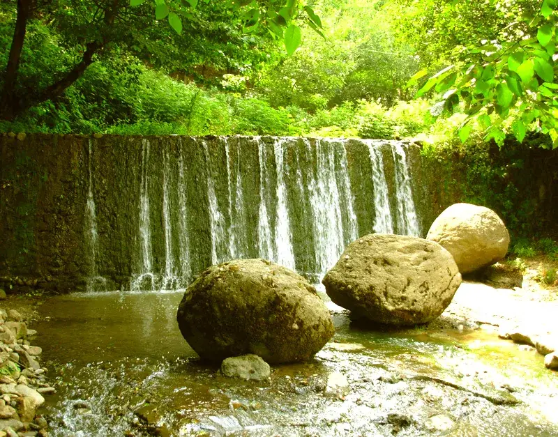
Sights in the town Mughan Steppe (3)
Sights nearby
Frequently asked questions
What is special about the Mughan-Steppe?
Can you go on safaris there?
Is it family-friendly?
What is the best season?
How is the infrastructure?
Mughan Steppe: where is it located?
Mughan Steppe: what is there to see?
Mughan Steppe: when is the best time to visit?
Mughan Steppe: why is it worth visiting?

Nearby cities
More places