Plizio Visual Lab
Imishli
ℹ️Practical info — Imishli
▾
🌤 Weather — 5 days
📍 Nearby
Sights nearby
💡 Tips
- The summers in the Kura-Aras Lowland are extremely hot; plan your sightseeing for the early morning.
- Taxis are generally cheap, but always agree on the fare before starting your journey.
- Respect local customs by dressing modestly, especially when away from the main tourist areas.
- Explore the agricultural surroundings, as the city's identity is closely tied to its farming roots.
🍽 Food
A hearty traditional dish served in local restaurants in the center.
Available in the early morning at the local bazaar.
Enjoy it with local sweets in a traditional chaykhana (teahouse).
🛍 Shopping · 🧘 Quiet spots
The local bazaar is packed with seasonal fruits, especially melons from the surrounding lowland.
Look for homemade fruit preserves sold by vendors in the market.
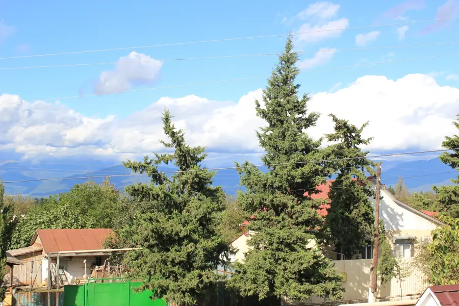
Small green spaces in the city provide a shaded retreat from the heat.
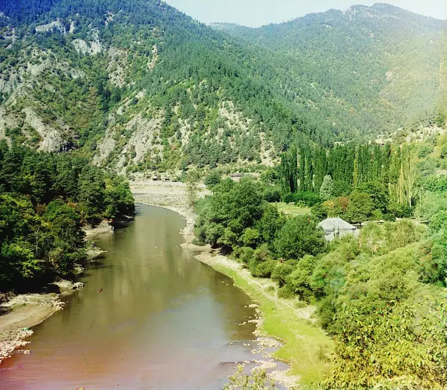
If you venture out of the city, the banks of the Araz River offer a tranquil setting.
Water temperature…
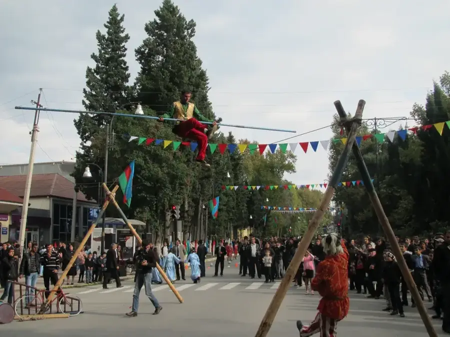
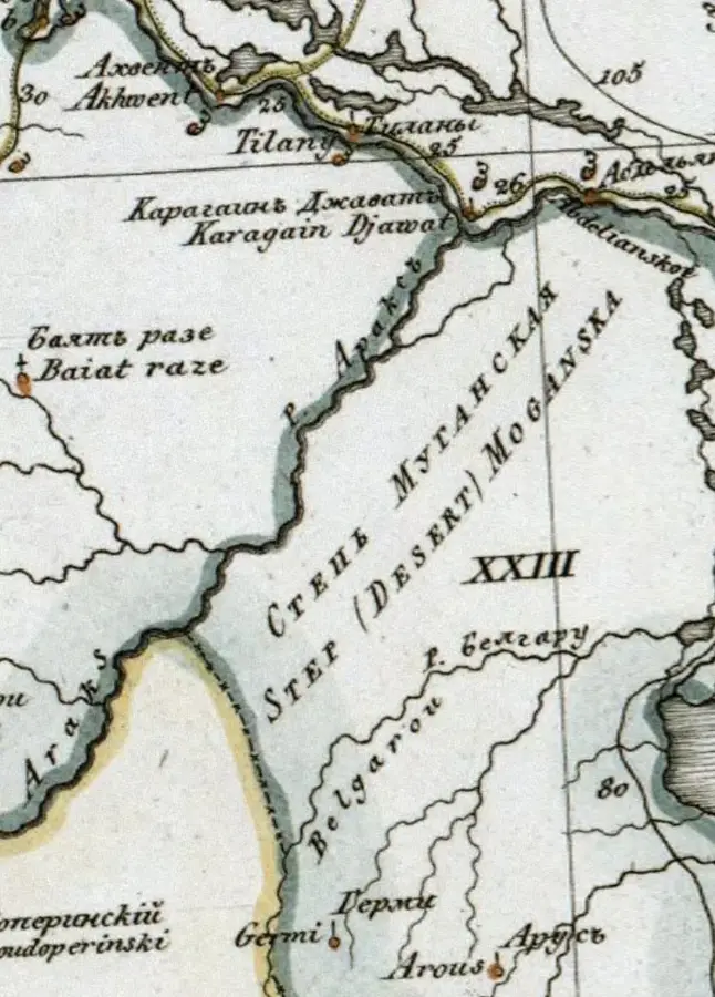
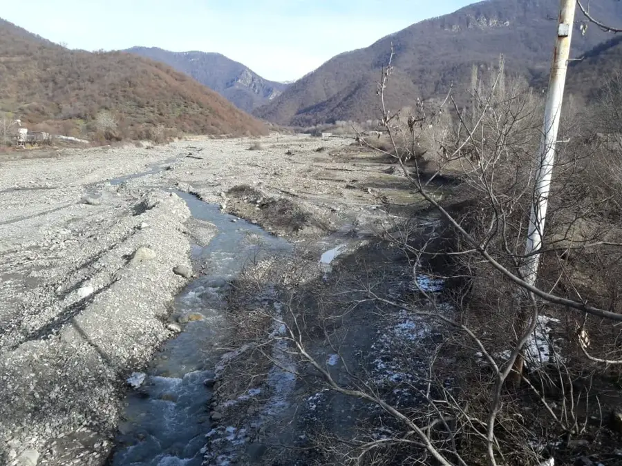
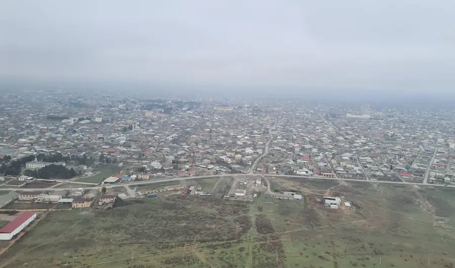
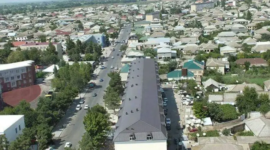
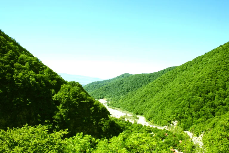
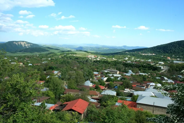
Imishli lies in the central Mughan Steppe on the right bank of the Aras River, only about a hundred kilometres from the Iranian border, and has around forty thousand inhabitants. The town owes its growth to the former Stalin Canal (today the Upper Mughan Canal), completed in 1939, which transformed the once arid steppe into fertile farmland. Today the district is dominated by the cultivation of cotton, wheat, watermelons and sugar beet. The largest sugar factory in the South Caucasus, the Aznar Sugar plant, is located in the town and has produced crystal sugar for the domestic market and export since 2006. Notable sights include the modern Heydar Aliyev Centre, the central railway station on the important Baku, Astara line, and the many mud volcanoes and ancient burial mounds of the surrounding steppe, which preserve valuable archaeological finds.
- Location: Azerbaijan
- Nearby: Sabirabad (47 km)
- Population: ~34.178 (2026)
Best time to visit & climate
The most pleasant time to visit is May, Sep, Oct.
| Jan | Feb | Mar | Apr | May | Jun | Jul | Aug | Sep | Oct | Nov | Dec | |
|---|---|---|---|---|---|---|---|---|---|---|---|---|
| Avg °C | 5 | 6 | 10 | 15 | 22 | 28 | 30 | 30 | 25 | 18 | 11 | 6 |
| Rain mm | 18 | 23 | 28 | 28 | 26 | 18 | 8 | 9 | 26 | 34 | 30 | 19 |
Geography
Facts
- Established as a separate district in 1944
- The sugar factory processes up to 600,000 tons of beets annually
- Average annual temperature is approximately 14.5 degrees Celsius
- Located at an elevation of 0 meters above sea level
- Distance to the capital Baku is about 250 kilometers
- The Aras River forms the southern boundary of the district
Explore nearby
Notable places around
Route planner — Car & Motorhome
Where do you start? We build the route here, with stops and country notes along the way.
© OpenStreetMap contributors · OpenRouteService
Sights in the town Imishli (1)
Frequently asked questions
What kind of city is İmişli?
Is a stop worthwhile?
What is the surrounding area like?
Are there sights?
How to get there?
Imishli: where is it located?
Imishli: when is the best time to visit?
Imishli: why is it worth visiting?

Nearby cities

History & landmarks
More places