Plizio Visual Lab
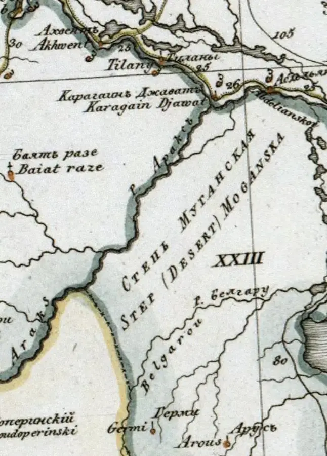
Kura-Aras Lowland
Weather…
Water temperature…
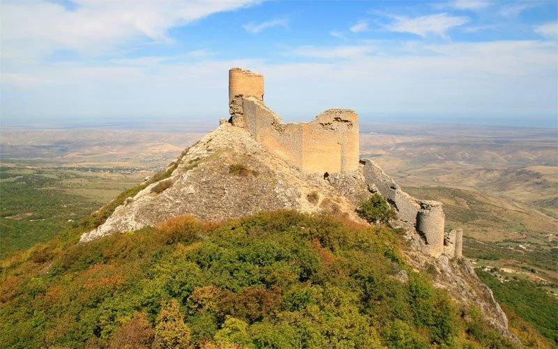
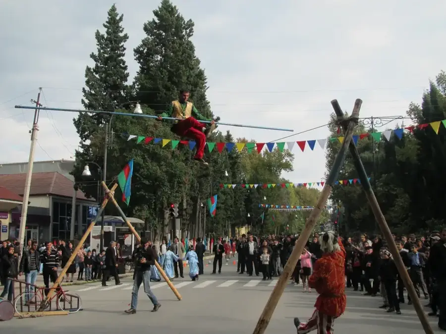
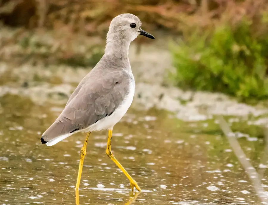
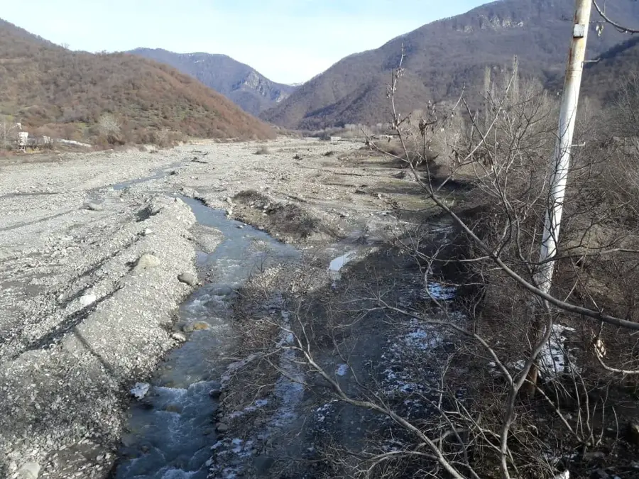
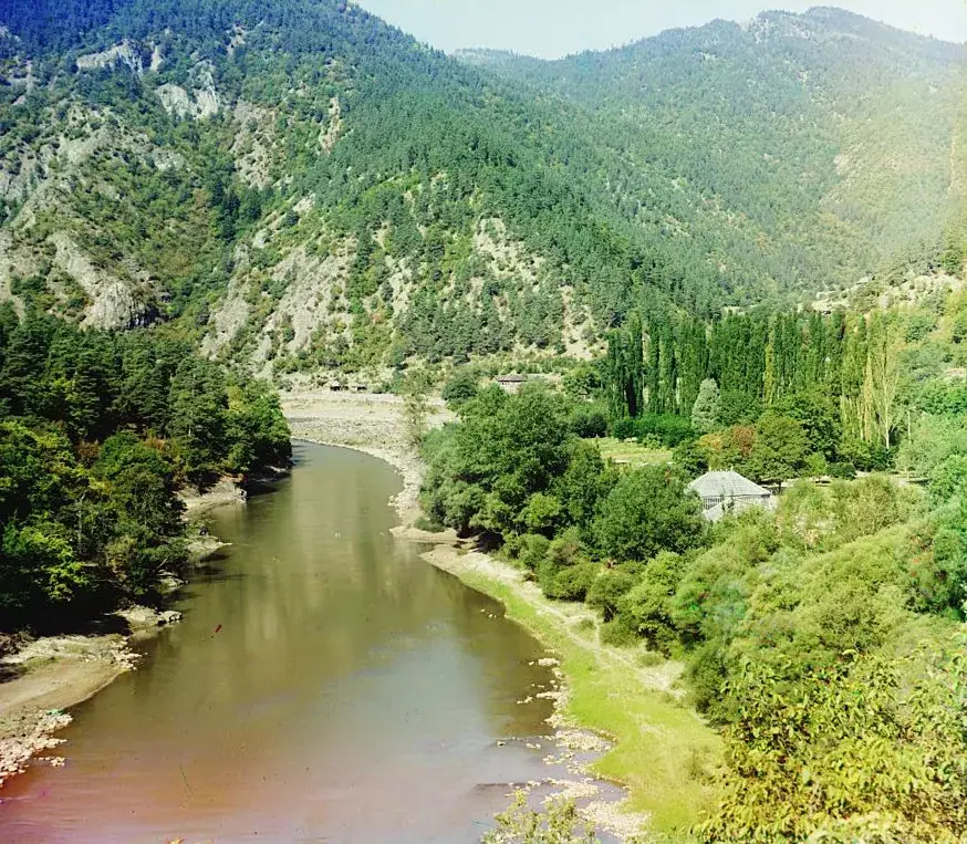
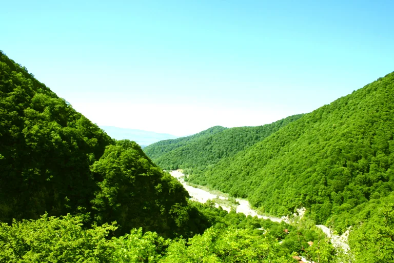
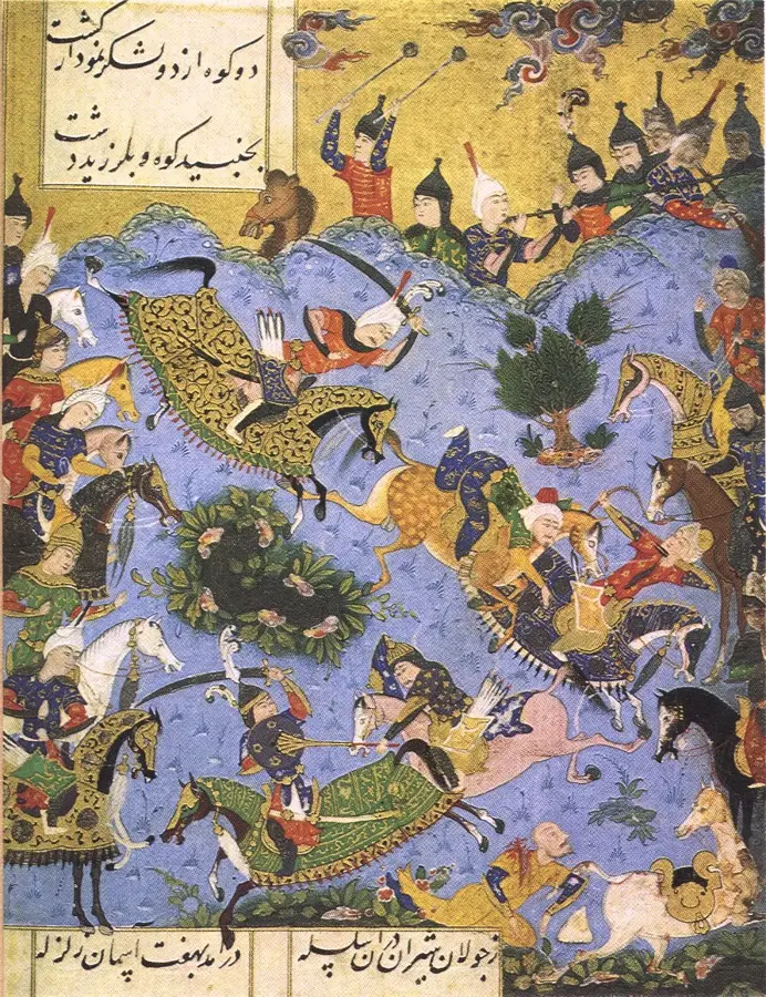
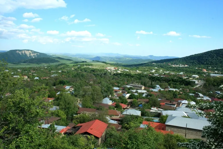
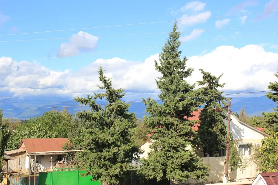
The Kura-Aras Lowland is the largest geographical region of Azerbaijan, spanning the central basin of the country between the Greater and Lesser Caucasus Mountains. It is a vast alluvial plain formed by the sedimentation of the two primary rivers, the Kura and the Aras. Large sections of the lowland lie below sea level, reaching depths of approximately -28 meters near the Caspian coast. The climate is semi-arid to arid, which led to the development of an extensive irrigation network since the Soviet era to support the intensive cultivation of cotton, grain, and fruit. Naturally, the plain is characterized by steppes and semi-deserts that serve as critical habitats for the goitered gazelle. Historically, the lowland was the core territory of various Azerbaijani khanates and a significant junction on the Silk Road. The region now hosts major conservation areas, such as the Shirvan National Park. Despite intensive agricultural use, it remains home to significant archaeological sites dating back to the Bronze Age.
- Location: Azerbaijan
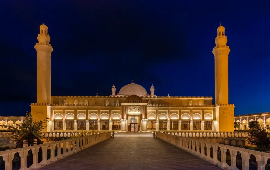
- Top sights: Mirili mascidi · Qaravelli Mascidi
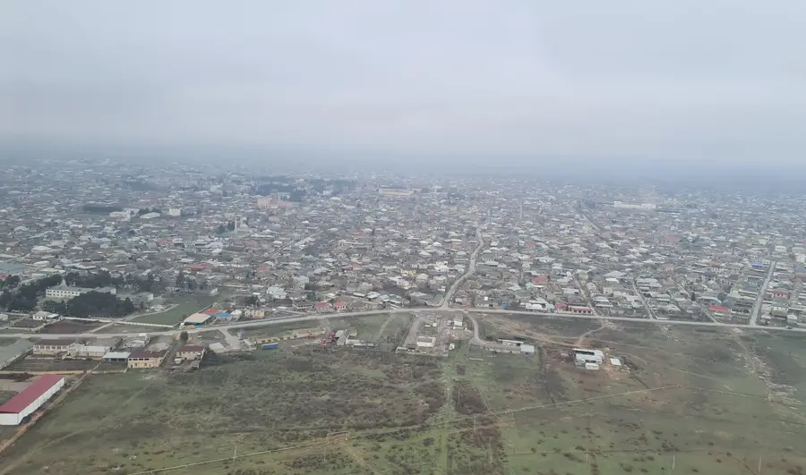
- Nearby: Imishli (21 km)
Best time to visit & climate
The most pleasant time to visit is May, Sep, Oct.
| Jan | Feb | Mar | Apr | May | Jun | Jul | Aug | Sep | Oct | Nov | Dec | |
|---|---|---|---|---|---|---|---|---|---|---|---|---|
| Avg °C | 4 | 5 | 9 | 14 | 21 | 27 | 29 | 29 | 24 | 17 | 11 | 6 |
| Rain mm | 19 | 24 | 29 | 28 | 25 | 17 | 7 | 9 | 27 | 37 | 33 | 21 |
📋 Practical info
Geography
Facts
- The total area of the lowland is approximately 22,000 square kilometers.
- The lowest point is located at -28 meters below sea level.
- The average annual temperature ranges between 14 and 15 degrees Celsius.
- More than 60% of the country's agricultural output is produced here.
- The Kura River, at 1,515 km, is the longest river in the lowland.
- Shirvan National Park was established in 2003 to protect gazelle populations.
Explore nearby
Notable places around
Route planner — Car & Motorhome
Where do you start? We build the route here, with stops and country notes along the way.
© OpenStreetMap contributors · OpenRouteService
Sights in the town Kura-Aras Lowland (2)
Sights nearby
Frequently asked questions
What is the Kura-Aras lowland?
Is it agriculturally significant?
Can you have a holiday there?
Are there historical sites there?
When is the best time for a visit?
Kura-Aras Lowland: where is it located?
Kura-Aras Lowland: what is there to see?
Kura-Aras Lowland: when is the best time to visit?
Kura-Aras Lowland: why is it worth visiting?

Nearby cities

History & landmarks
More places