Plizio Visual Lab
Sabirabad
ℹ️Practical info — Sabirabad
▾
🌤 Weather — 5 days
📍 Nearby
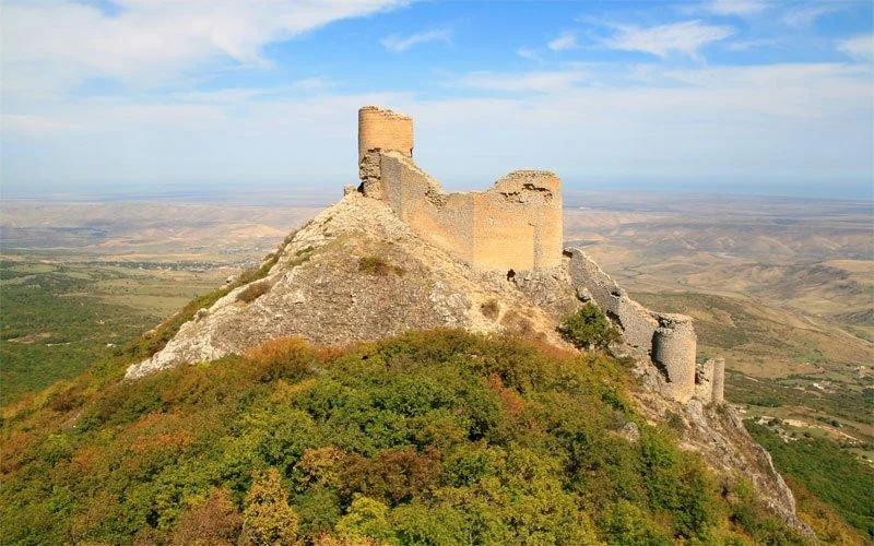
Sights nearby
💡 Tips
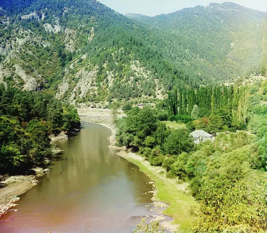
- The confluence of the Kura and Aras rivers (Suqovushan) is a unique geographical sight; ask locals for the best viewing point.
- As a major agricultural hub, the local bazaar is animated and best visited early in the morning for the freshest produce.
- Summers can be extremely hot; plan your outdoor activities for the early morning or late afternoon.
- The town is mainly a transit and agricultural center, so tourist infrastructure is modest; keep your expectations realistic.
🍽 Food
Buy melons and watermelons directly from the farmers' market.
Enjoy freshly grilled meats at local roadside eateries or central teahouses.
Relax with a traditional glass of black tea accompanied by homemade fruit preserves in a local teahouse.
🛍 Shopping · 🧘 Quiet spots
The best place to buy fresh vegetables, fruits, and local dairy products.
Since it is a cotton-growing region, you might find local textiles in town shops.
The spot where the two mighty rivers meet is surprisingly calm and scenic.
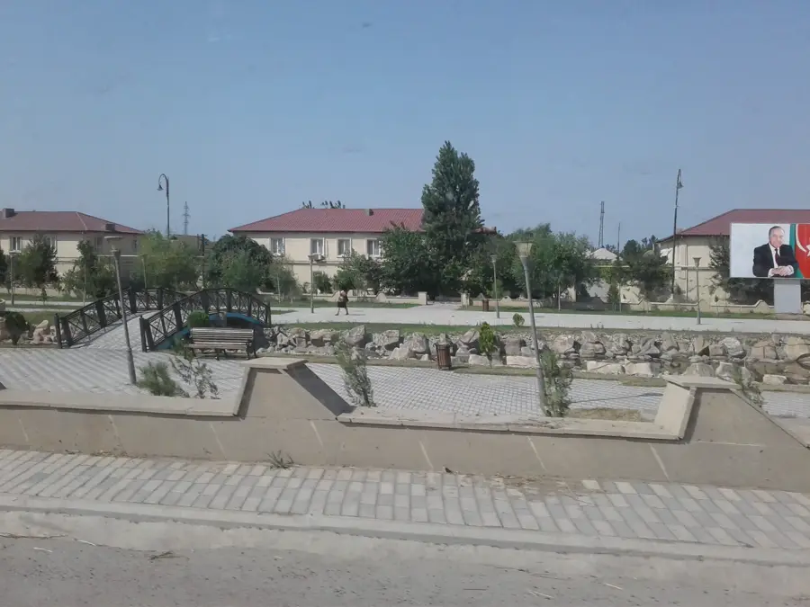
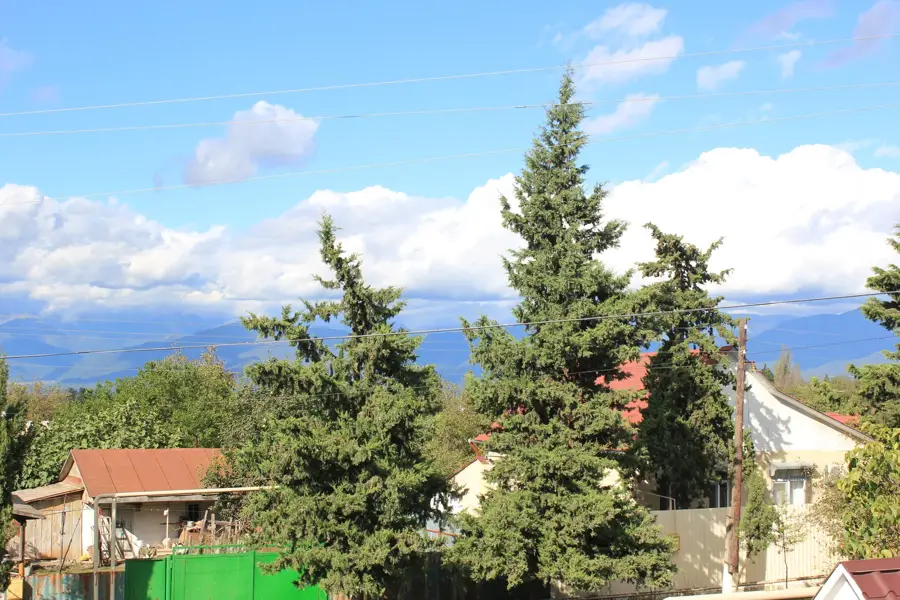
The central parks offer shaded benches to rest under the trees during hot afternoons.
Water temperature…
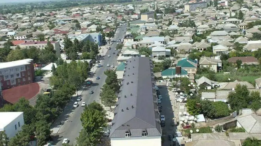
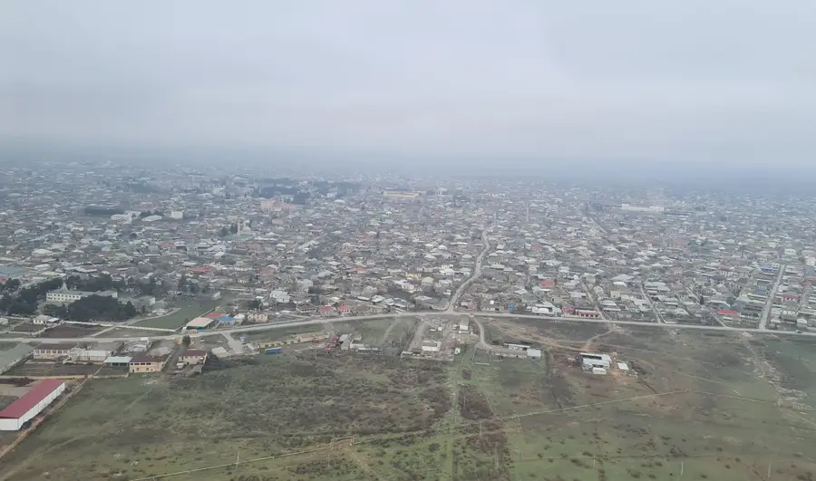
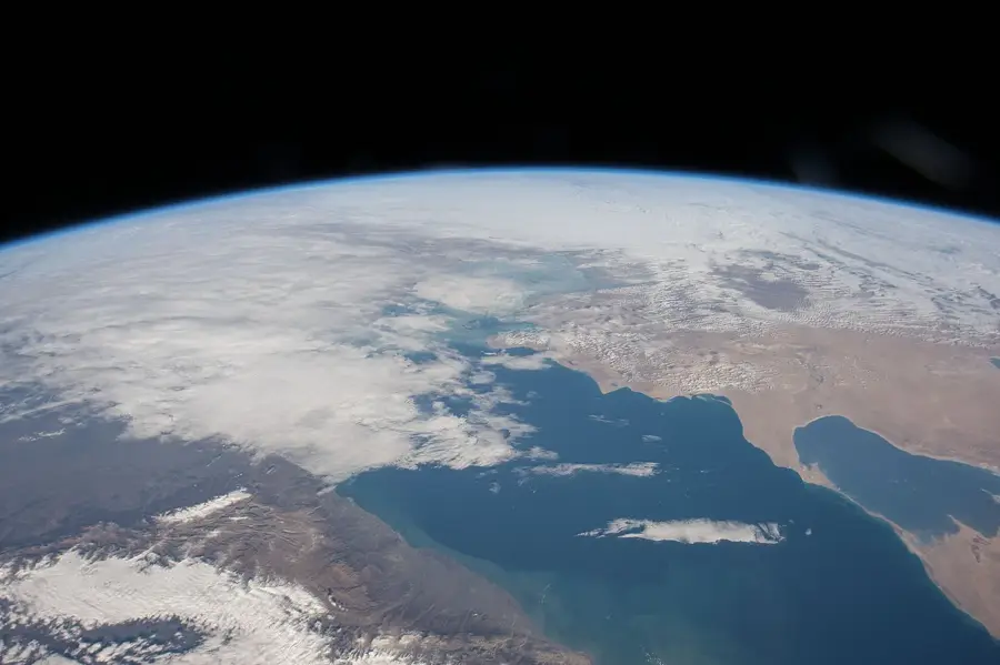
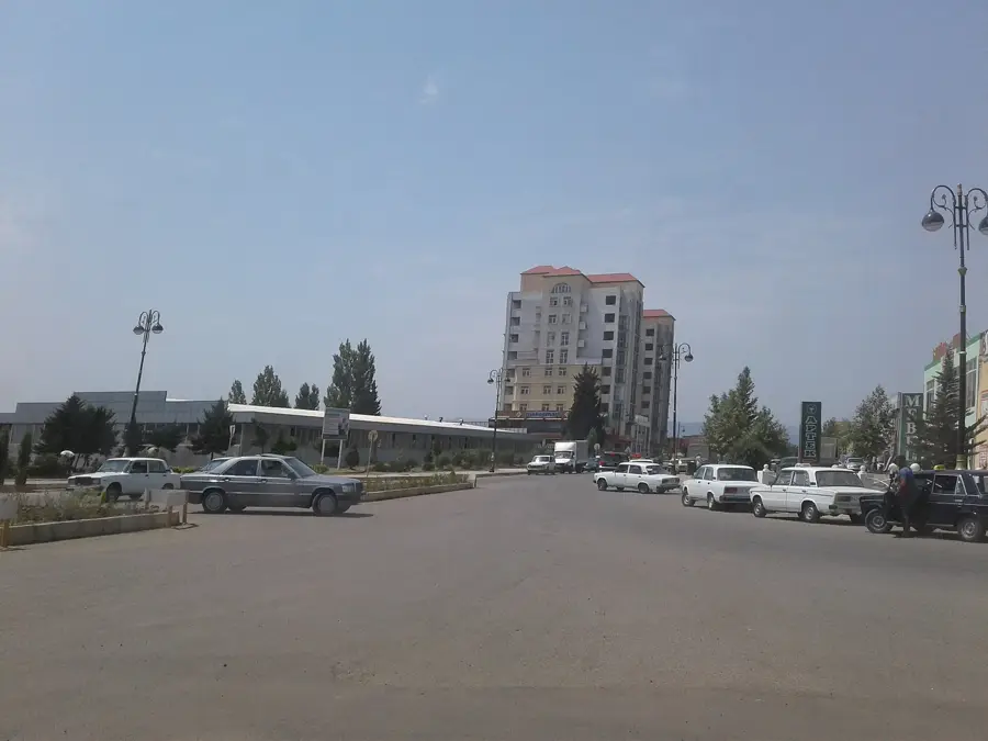
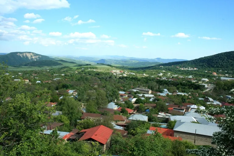
Sabirabad lies at the confluence of Azerbaijan's two most important rivers, the Kura and the Aras, about a hundred and fifty kilometres south-west of Baku, and with around forty thousand inhabitants is the centre of a flourishing agricultural district in the Mughan Steppe. The town was founded in 1931 and renamed in 1933 after the famous satirical poet Mirza Alakbar Sabir, who was known for his sharp social criticism in the early twentieth century. The surrounding alluvial soils support the cultivation of cotton, wheat, pomegranates and especially watermelons, whose sweetness and juiciness are renowned across the country. Notable sights include the bridge and monument at the confluence of the two rivers, the Sabir statue in the central park and the local history museum, which displays archaeological finds from the Mughan Steppe and ethnographic collections of traditional regional life.
- Location: Azerbaijan
- Top sights: Bayraq \ Sabirabad · Qlobus Abidəsi
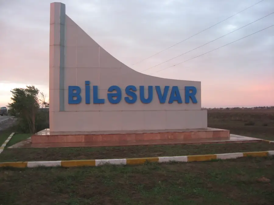
- Nearby: Bilasuvar (40 km)
- Population: ~30.612 (2026)
Best time to visit & climate
The most pleasant time to visit is May, Sep, Oct.
| Jan | Feb | Mar | Apr | May | Jun | Jul | Aug | Sep | Oct | Nov | Dec | |
|---|---|---|---|---|---|---|---|---|---|---|---|---|
| Avg °C | 4 | 5 | 9 | 14 | 21 | 27 | 29 | 29 | 24 | 17 | 11 | 6 |
| Rain mm | 19 | 24 | 29 | 28 | 25 | 17 | 7 | 9 | 27 | 37 | 33 | 21 |
Geography
Facts
- Renamed to Sabirabad in the year 1931
- Located approximately 28 meters below sea level
- The historical city of Javad was situated at this site
- The district was officially established on August 7, 1930
- The Kura bridge connects the city with the Shirvan region
- Cotton ginning is the primary local industrial sector
Explore nearby
Notable places around
Route planner — Car & Motorhome
Where do you start? We build the route here, with stops and country notes along the way.
© OpenStreetMap contributors · OpenRouteService
Sights in the town Sabirabad (2)
Frequently asked questions
What kind of city is Sabirabad?
Are there sights there?
Is it touristy?
What is the climate like?
How to reach the city?
Sabirabad: where is it located?
Sabirabad: what is there to see?
Sabirabad: when is the best time to visit?
Sabirabad: why is it worth visiting?

Nearby cities
History & landmarks
More places