Plizio Visual Lab
Shirvan Steppe
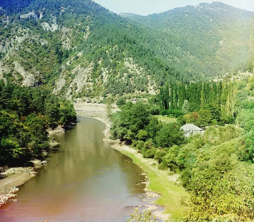
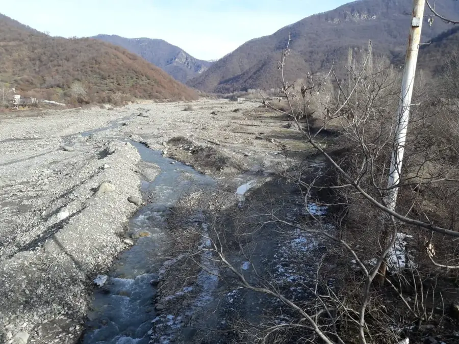
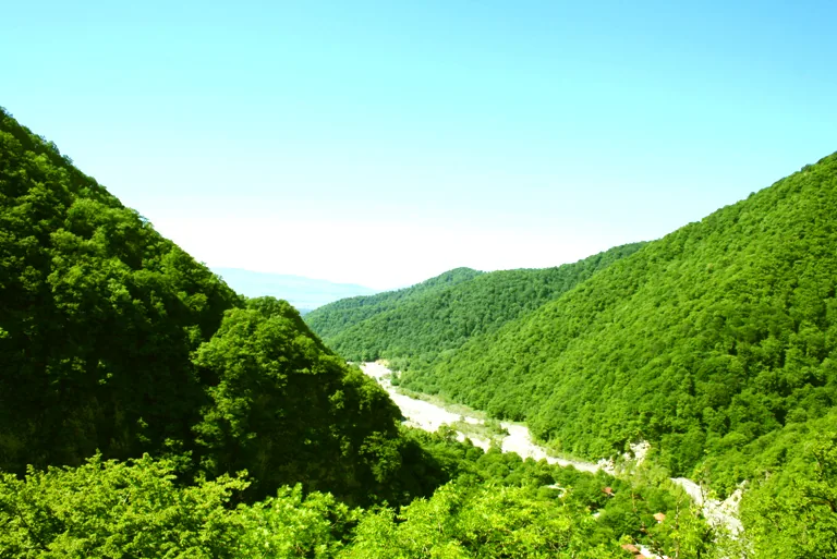
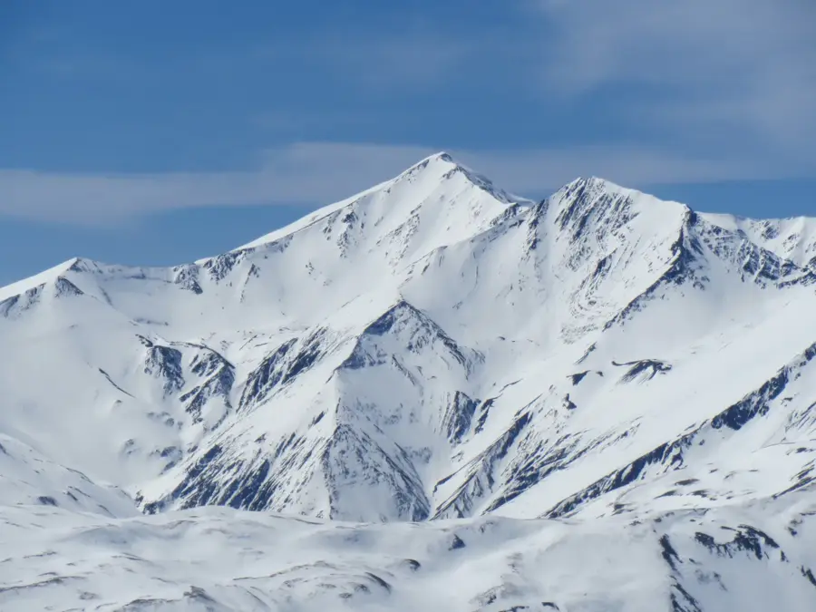
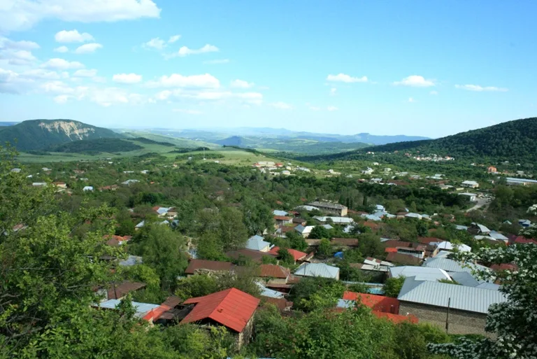
The Shirvan Steppe is an extensive plain in central Azerbaijan, occupying the eastern part of the Kura-Aras lowland. Located north of the Kura River, it is geologically composed of young Quaternary sediments. The relief is predominantly flat, with some areas lying below sea level. The climate is semi-arid to arid, resulting in natural vegetation dominated by wormwood and salt-tolerant plants. Through extensive irrigation projects, particularly the Upper Shirvan Canal, the steppe has been transformed into a productive agricultural region. Cotton, cereals, and grapes are the primary crops grown here. An ecologically significant part of the steppe is the Shirvan National Park, established to protect the goitered gazelle and numerous migratory bird species. The steppe also holds long-standing historical significance as the center of the Shirvanshah state.
- Location: Azerbaijan
- Top sights: Mədəniyyət Evi · Usaq Yaradiciliq M@rk@zi · G@ncl@r Evi
- Nearby: Ismayilli (34 km)
Best time to visit & climate
The most pleasant time to visit is May, Sep, Oct.
| Jan | Feb | Mar | Apr | May | Jun | Jul | Aug | Sep | Oct | Nov | Dec | |
|---|---|---|---|---|---|---|---|---|---|---|---|---|
| Avg °C | 4 | 5 | 9 | 14 | 21 | 27 | 30 | 29 | 24 | 17 | 10 | 5 |
| Rain mm | 16 | 21 | 28 | 29 | 31 | 23 | 12 | 11 | 23 | 30 | 24 | 14 |
📋 Practical info
Geography
Facts
- The steppe is part of the Kura-Aras lowland, mostly at 16-100 m elevation.
- Some parts of the Shirvan Steppe lie below sea level.
- Shirvan National Park covers an area of 54,373 hectares.
- The Upper Shirvan Canal is approximately 123 km long.
- The goitered gazelle is the most famous animal in this steppe region.
- Cotton is the primary agricultural product of the region.
Explore nearby
Notable places around
Route planner — Car & Motorhome
Where do you start? We build the route here, with stops and country notes along the way.
© OpenStreetMap contributors · OpenRouteService
Sights in the town Shirvan Steppe (7)
Sights nearby
Frequently asked questions
What is the Shirvan Steppe?
Are there national parks there?
When is a visit worthwhile?
Is it hot there in summer?
What should one bring?
Shirvan Steppe: where is it located?
Shirvan Steppe: what is there to see?
Shirvan Steppe: when is the best time to visit?
Shirvan Steppe: why is it worth visiting?

Nearby cities

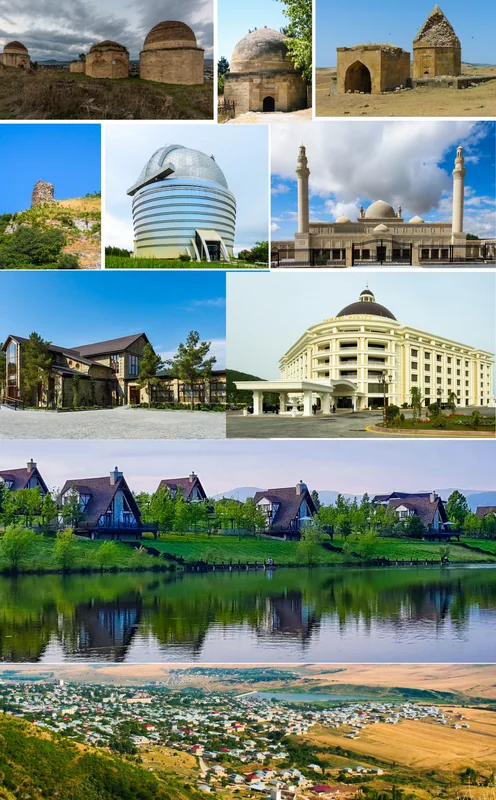
History & landmarks
More places