Plizio Visual Lab
Chirag Gala
Weather…
Water temperature…
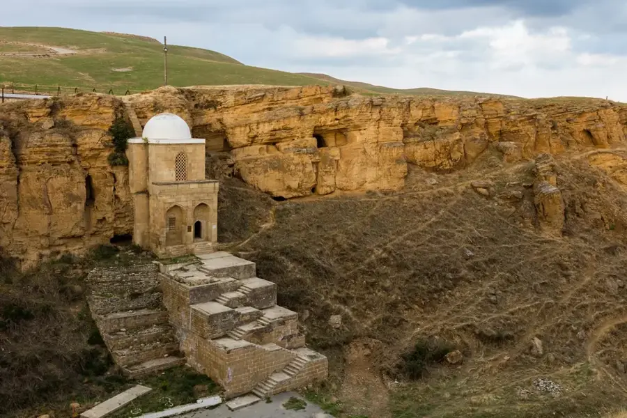
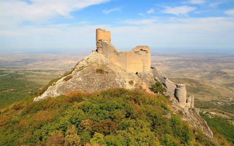
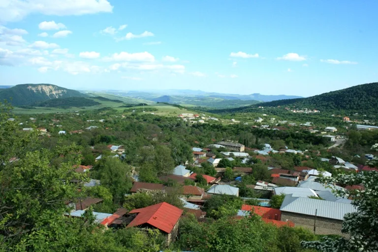
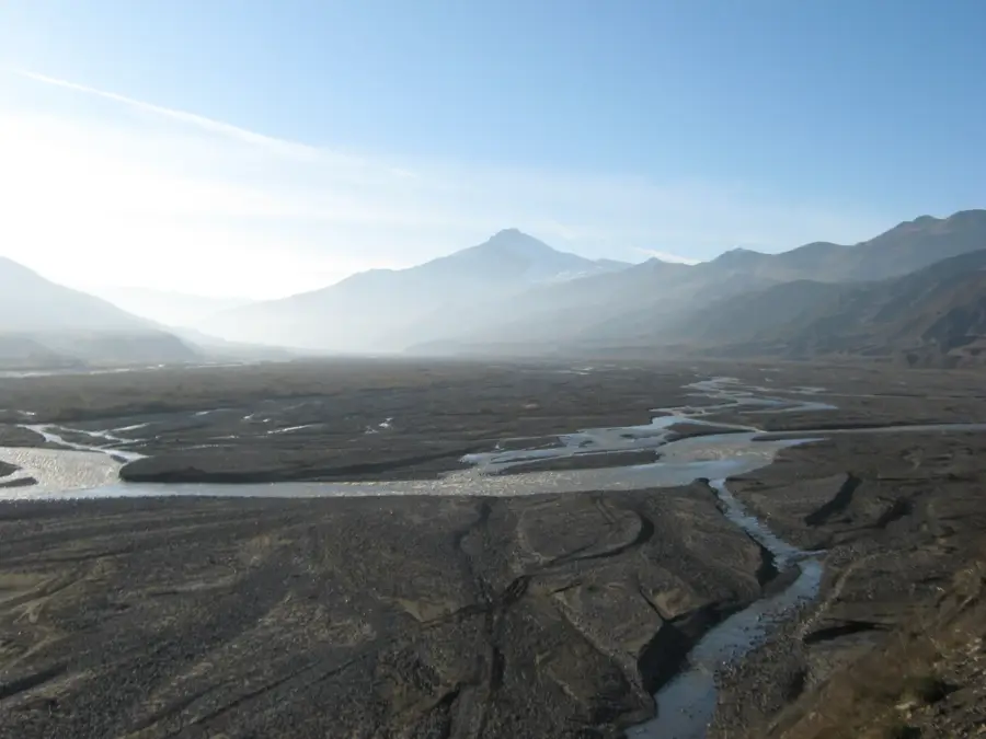
Chirag Gala, meaning 'Lamp Tower,' is an ancient and medieval fortress perched on a jagged mountain peak near the town of Shabran. It was originally constructed between the 4th and 6th centuries during the Sassanid era as part of a grand defensive system designed to guard the Caucasus against nomadic incursions from the north. Situated at an altitude of approximately 1,200 meters above sea level, the fortress functioned as a vital signaling station where fires were lit at night to transmit warnings across long distances, reaching as far as Baku. The complex originally featured several observation towers, with the central main tower remaining the most prominent and best-preserved landmark today. The construction utilizes local stone and high-quality mortar, allowing the structure to withstand extreme weather conditions for over 1,500 years. As one of Azerbaijan's most dramatic military monuments, Chirag Gala is a popular destination for hikers and history enthusiasts and is currently on the UNESCO World Heritage tentative list.
- Location: Azerbaijan
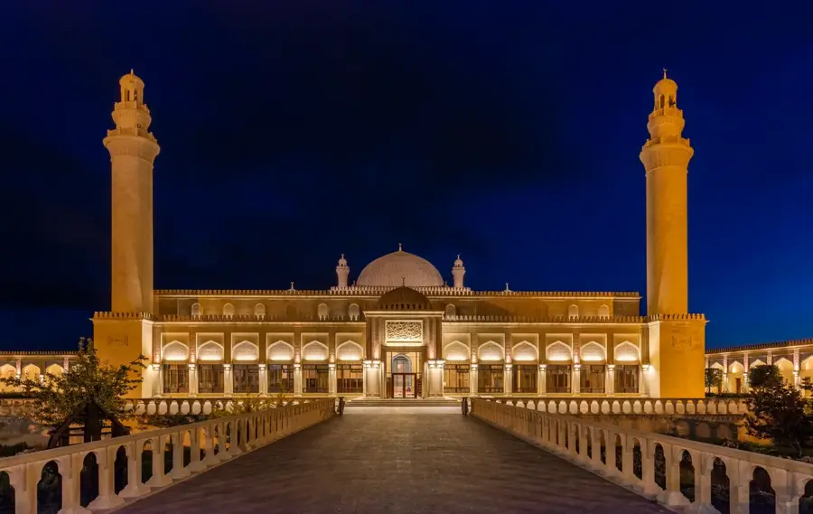
- Top sights: Chirag Gala · Qəsr xarabalığı · Cum@ M@scidi
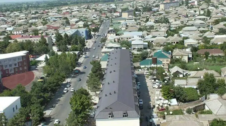
- Nearby: Khachmaz (33 km)
Best time to visit & climate
The most pleasant time to visit is Jun–Aug.
| Jan | Feb | Mar | Apr | May | Jun | Jul | Aug | Sep | Oct | Nov | Dec | |
|---|---|---|---|---|---|---|---|---|---|---|---|---|
| Avg °C | -2 | -1 | 4 | 8 | 14 | 19 | 21 | 21 | 16 | 10 | 4 | 0 |
| Rain mm | 18 | 24 | 27 | 28 | 29 | 24 | 16 | 14 | 28 | 34 | 29 | 19 |
📋 Practical info
Geography
Facts
- Built between the 4th and 6th centuries AD
- Situated at 1,200 meters above sea level
- Part of the ancient Gilgilchay defensive line
- Served as an optical signaling system using fire
- Second most important Sassanid site after Derbent
- Located in the modern-day Shabran district
Explore nearby
Notable places around
Route planner — Car & Motorhome
Where do you start? We build the route here, with stops and country notes along the way.
© OpenStreetMap contributors · OpenRouteService
Sights in the town Chirag Gala (4)
Sights nearby
Frequently asked questions
What does Chirag Gala mean?
Is the castle visitable?
What is the best time of day?
Is there parking?
Are dogs allowed?
Chirag Gala: where is it located?
Chirag Gala: what is there to see?
Chirag Gala: when is the best time to visit?
Chirag Gala: why is it worth visiting?

Nearby cities
History & landmarks
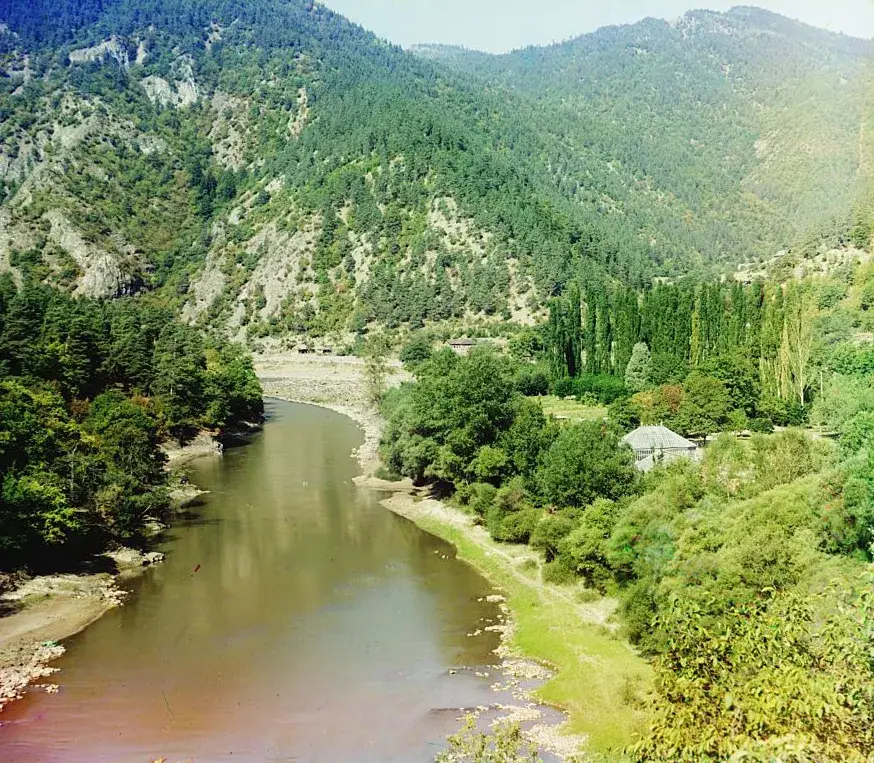
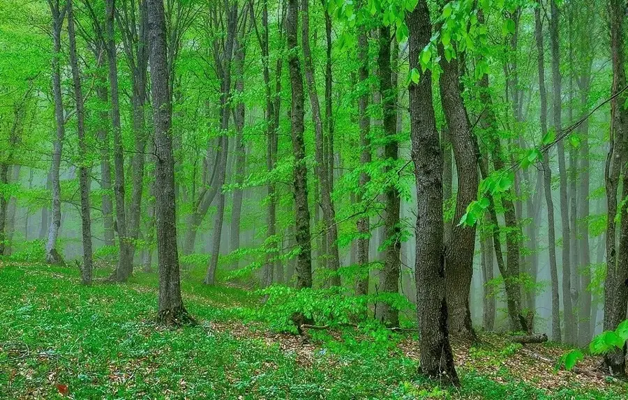
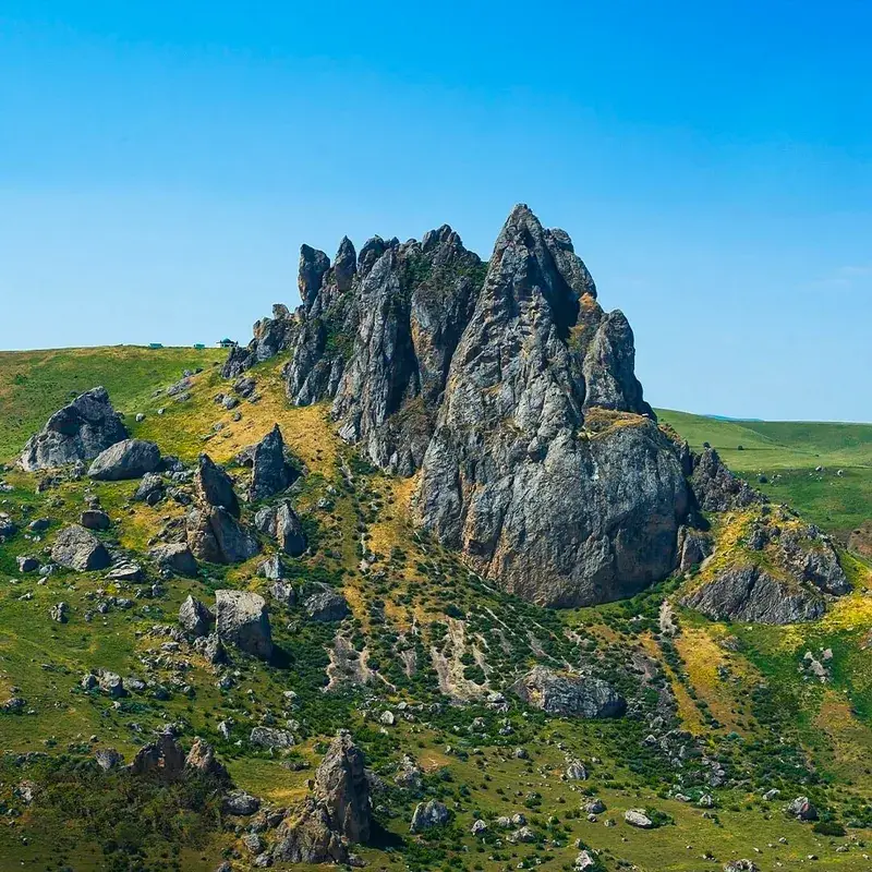
Nature
More places