Plizio Visual Lab
Mount Qapijiq

Weather…
Water temperature…
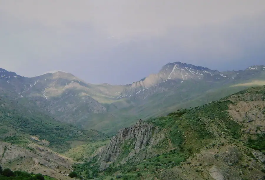
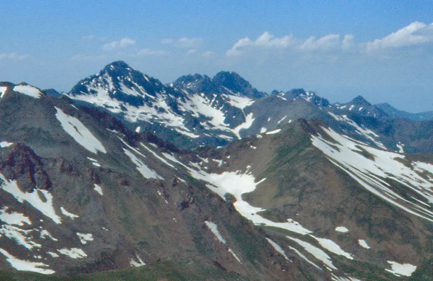
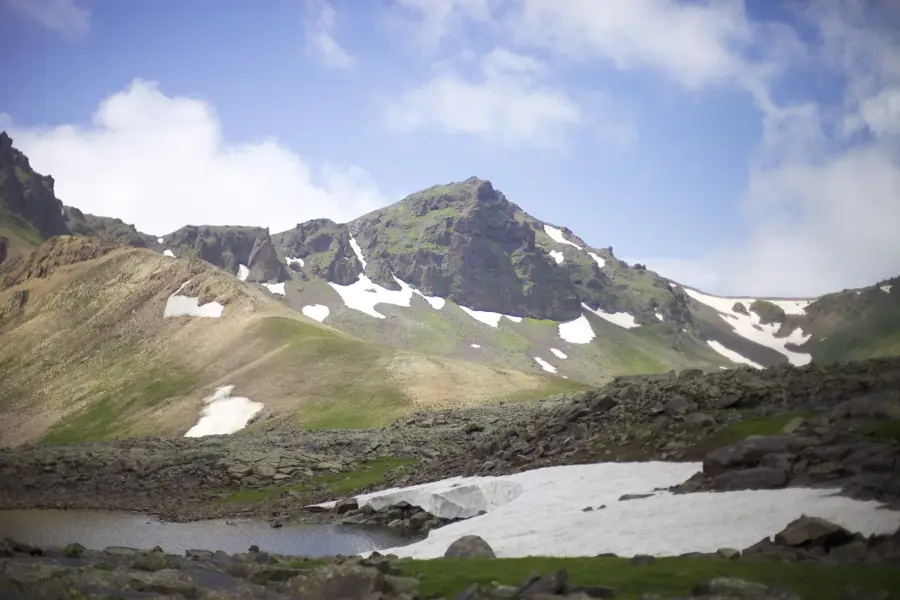
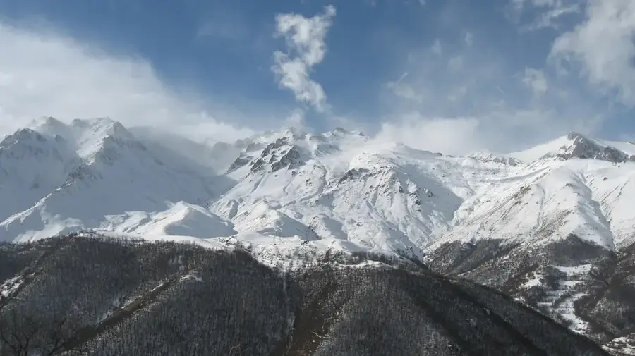
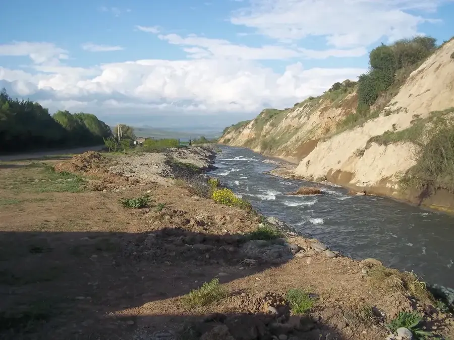
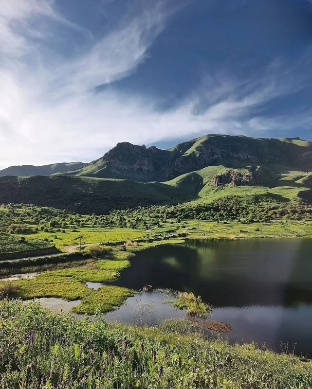
Mount Qapijiq is the highest peak of the Zangezur Range, rising to an impressive 3,905 meters above sea level on the border between the Ordubad district of Nakhchivan, Azerbaijan, and the Syunik Province of Armenia. Its name, meaning 'Small Gate' in Azerbaijani, refers to the high-altitude passes located near the summit that have historically connected different regions. Geologically, the mountain is composed of granite and other igneous rocks, which give it a rugged, jagged appearance with steep vertical drops. The upper reaches of Qapijiq are characterized by periglacial landforms, including cirques and moraines left by ancient glaciers, and are often covered in snow well into the summer. The mountain's slopes are home to rare flora and fauna, specifically adapted to the harsh, semi-arid continental climate of the area. It serves as a vital sanctuary within the Zangezur National Park for the endangered Bezoar goat and Armenian mouflon. For mountaineers, Qapijiq is a challenging climb that provides unparalleled views of the Aras River valley and the vast mountain landscapes of the South Caucasus. Its status as the highest point in Nakhchivan makes it a significant natural landmark for the country.
- Location: Azerbaijan
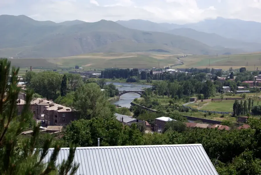
- Nearby: Nakhchivan (71 km)
Best time to visit & climate
The most pleasant time to visit is Jun–Aug.
| Jan | Feb | Mar | Apr | May | Jun | Jul | Aug | Sep | Oct | Nov | Dec | |
|---|---|---|---|---|---|---|---|---|---|---|---|---|
| Avg °C | -4 | -2 | 3 | 7 | 13 | 17 | 20 | 19 | 16 | 10 | 3 | -2 |
| Rain mm | 17 | 18 | 31 | 41 | 42 | 20 | 11 | 7 | 14 | 26 | 23 | 19 |
📋 Practical info
Geography
Facts
- Mount Qapijiq is the highest point in the Nakhchivan region at 3,905 meters.
- The name Qapijiq means 'Small Gate' in the Azerbaijani language.
- The mountain's core is primarily made of granite and granodiorite.
- Ancient petroglyphs have been discovered on the lower slopes of the mountain.
- It features distinct glacial landforms such as U-shaped valleys and cirques.
- The peak is a prominent feature within the boundaries of Zangezur National Park.
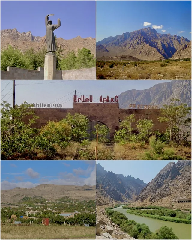
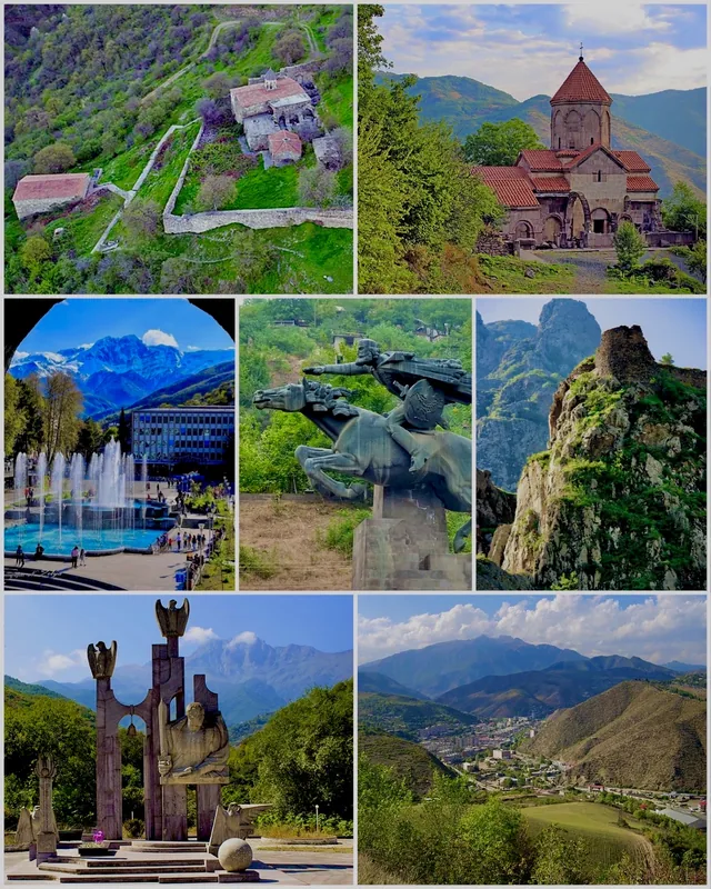
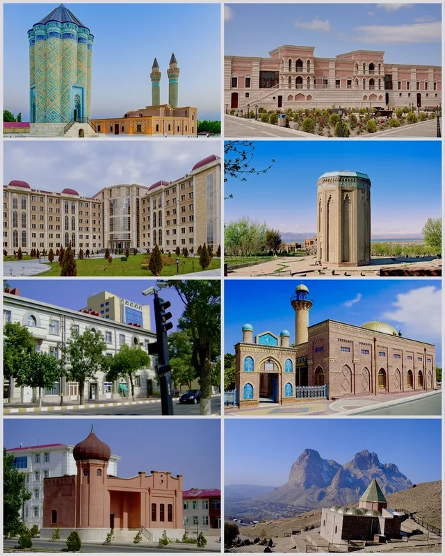
Explore nearby
Notable places around
Route planner — Car & Motorhome
Where do you start? We build the route here, with stops and country notes along the way.
© OpenStreetMap contributors · OpenRouteService
Sights in the town Mount Qapijiq (1)
Sights nearby
Frequently asked questions
How difficult is the ascent of Qapijiq?
When can one climb the peak?
Do you need a guide?
What is the best gear?
Is the view worth the climb?
Mount Qapijiq: where is it located?
Mount Qapijiq: when is the best time to visit?
Mount Qapijiq: why is it worth visiting?

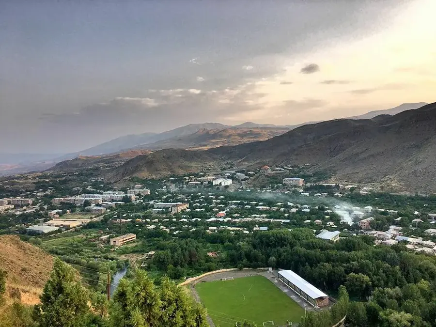
Nearby cities
History & landmarks


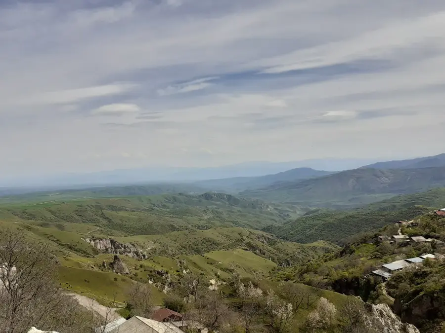
Nature
More places