Plizio Visual Lab
Mount Kaputjugh
Weather…
Water temperature…
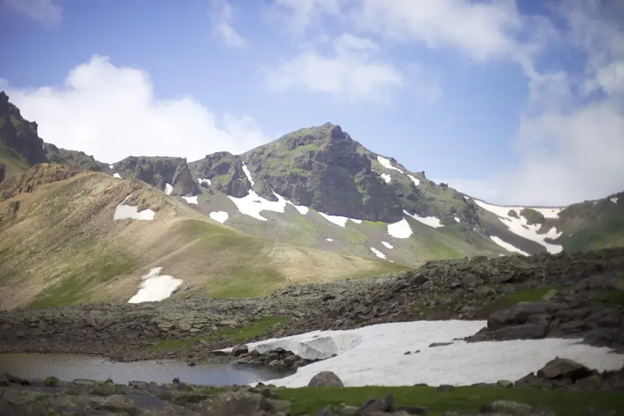
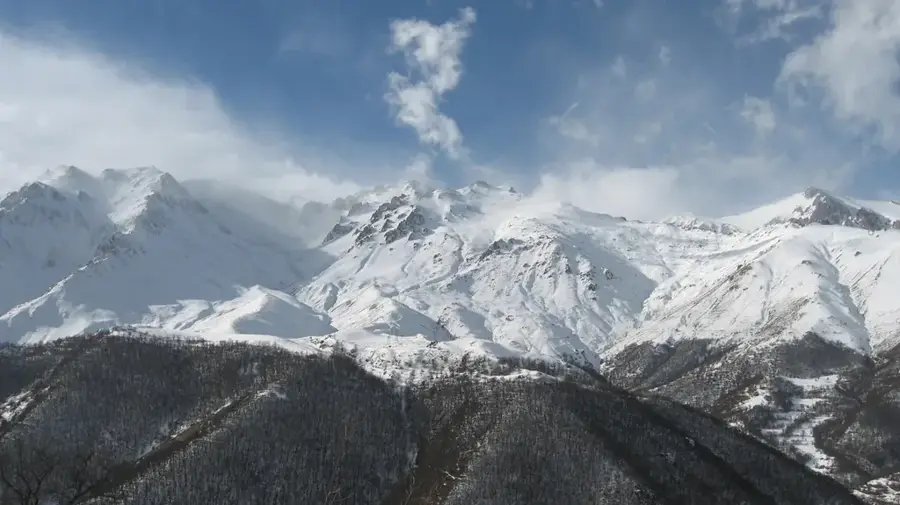
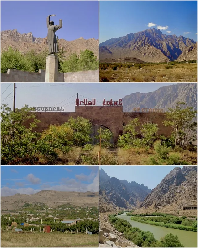
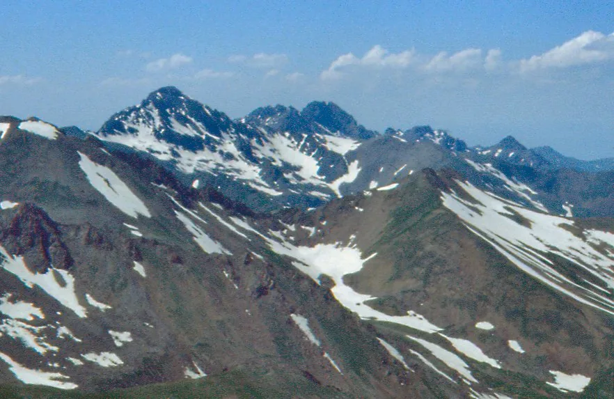
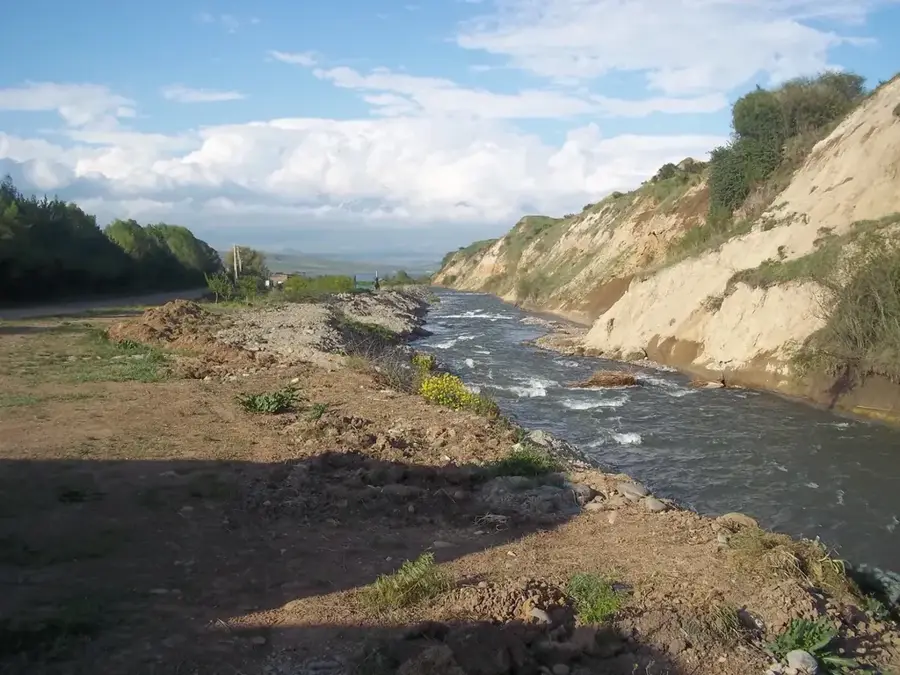
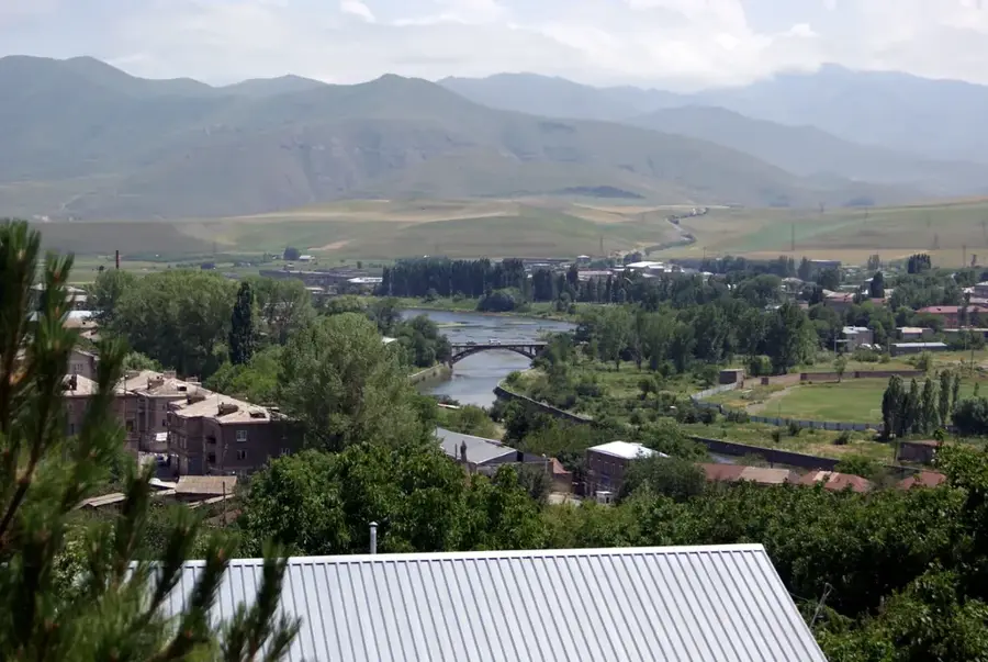
Mount Kaputjugh stands at an elevation of 3,905 meters, making it the highest peak of the Zangezur Mountains on the border between Armenia's Syunik Province and the Nakhchivan exclave of Azerbaijan. It is one of Armenia's most prominent summits after Mount Aragats, dominating the landscape of the southern Armenian Highlands. Geologically, the mountain is composed primarily of granite and granodiorite, featuring a rugged terrain shaped by ancient glacial activity, as evidenced by its numerous cirques and tarns. The high-altitude flora is typically alpine, consisting of hardy cushion plants and rare lichens that thrive in the harsh climatic conditions. Due to its remote location and the absence of extensive infrastructure, Kaputjugh is a prime destination for experienced mountaineers and researchers seeking untouched wilderness. The name 'Kaputjugh' translates from Armenian as 'Blue Horn' or 'Blue Peak,' referring to the bluish hue the mountain often assumes when viewed from a distance. It also serves as a critical hydrological hub, with several streams and springs originating from its snowy slopes.
- Location: Armenia
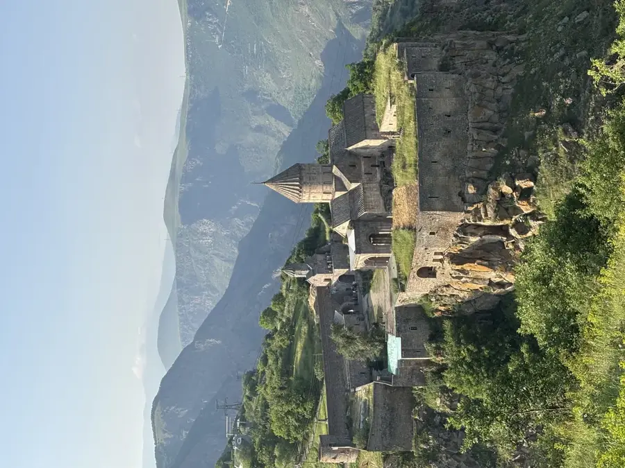
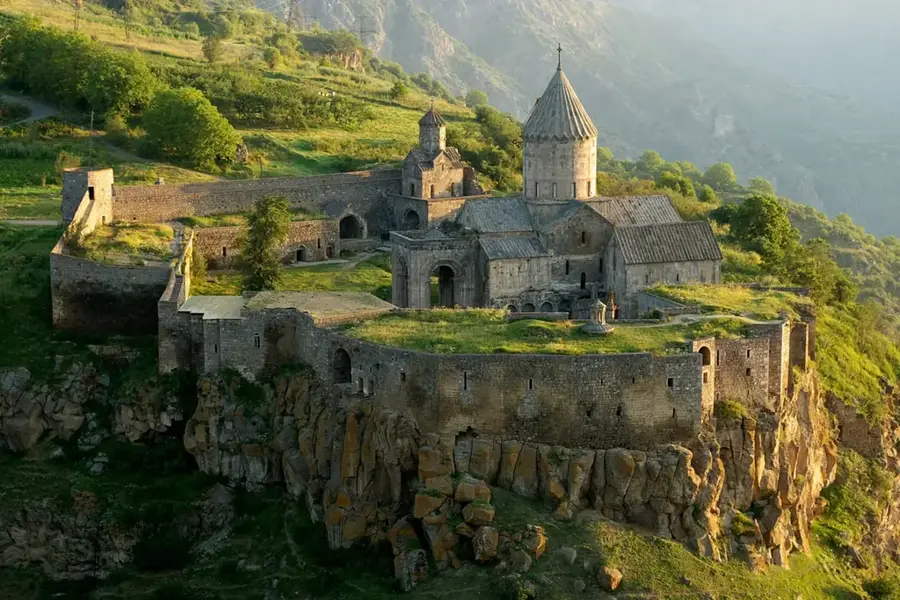
- Nearby: Tatev (Halidzor) (35 km)
Best time to visit & climate
The most pleasant time to visit is Jun–Aug.
| Jan | Feb | Mar | Apr | May | Jun | Jul | Aug | Sep | Oct | Nov | Dec | |
|---|---|---|---|---|---|---|---|---|---|---|---|---|
| Avg °C | -4 | -2 | 3 | 7 | 13 | 17 | 20 | 19 | 16 | 10 | 3 | -2 |
| Rain mm | 17 | 18 | 31 | 41 | 42 | 20 | 11 | 7 | 14 | 26 | 23 | 19 |
📋 Practical info
Geography
Facts
- Kaputjugh is the highest peak in the Zangezur Mountains at 3,905 meters.
- It marks the international border between Armenia and Nakhchivan.
- The mountain is primarily composed of igneous rocks such as granite.
- Numerous small glacial lakes are located on its slopes.
- The summit remains snow-covered for the majority of the year.
- The name Kaputjugh translates to 'Blue Horn' in the Armenian language.
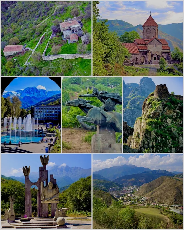
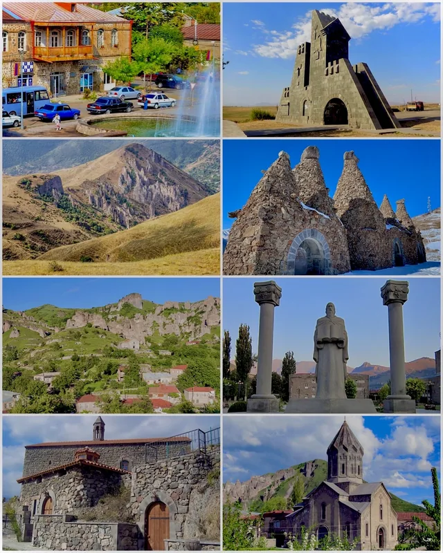
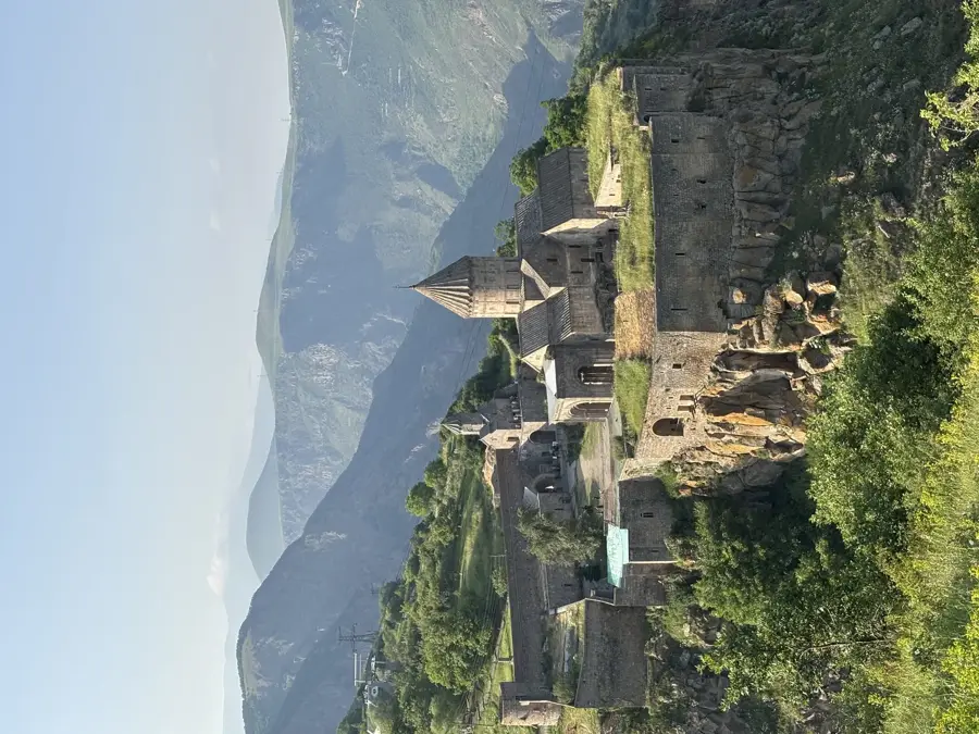
Explore nearby
Notable places around
Route planner — Car & Motorhome
Where do you start? We build the route here, with stops and country notes along the way.
© OpenStreetMap contributors · OpenRouteService
Sights in the town Mount Kaputjugh (1)
Sights nearby
Frequently asked questions
How hard is Kaputjugh?
Do you need special gear?
What is the best season?
Are there marked trails?
What is the peak known for?
Mount Kaputjugh: where is it located?
Mount Kaputjugh: when is the best time to visit?
Mount Kaputjugh: why is it worth visiting?

Nearby cities
History & landmarks
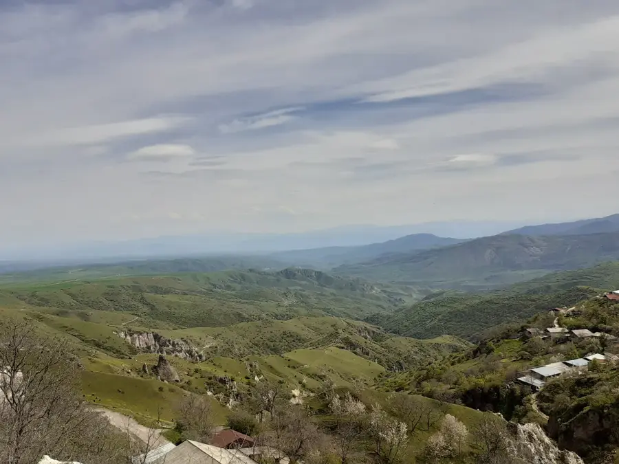

Nature
More places