Plizio Visual Lab
Mount Kaputjugh

Weather…
Water temperature…
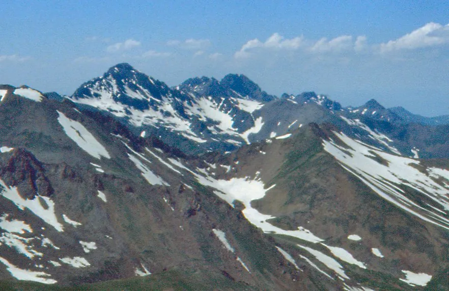
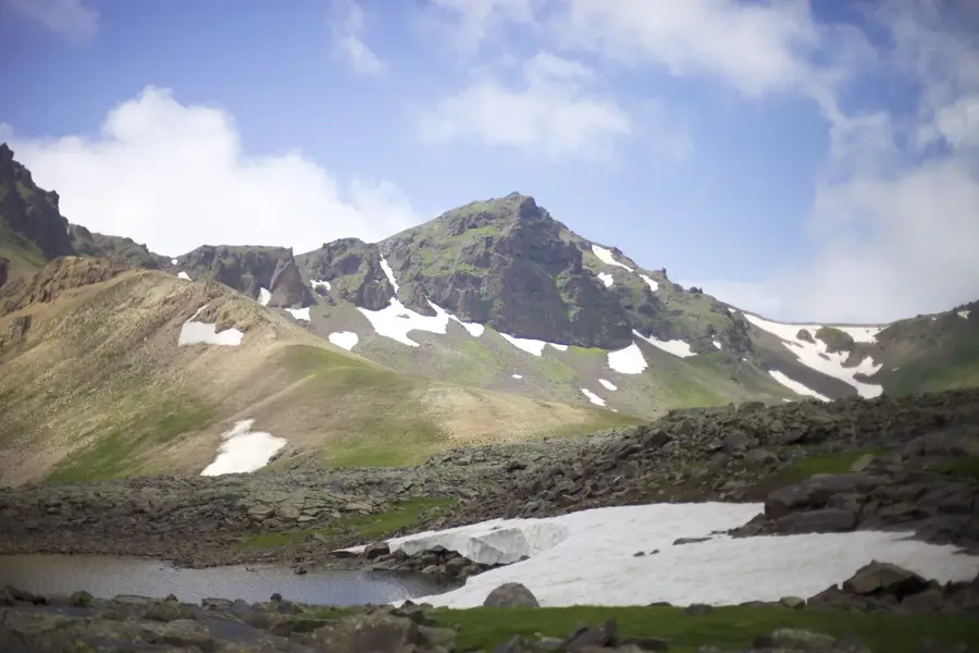
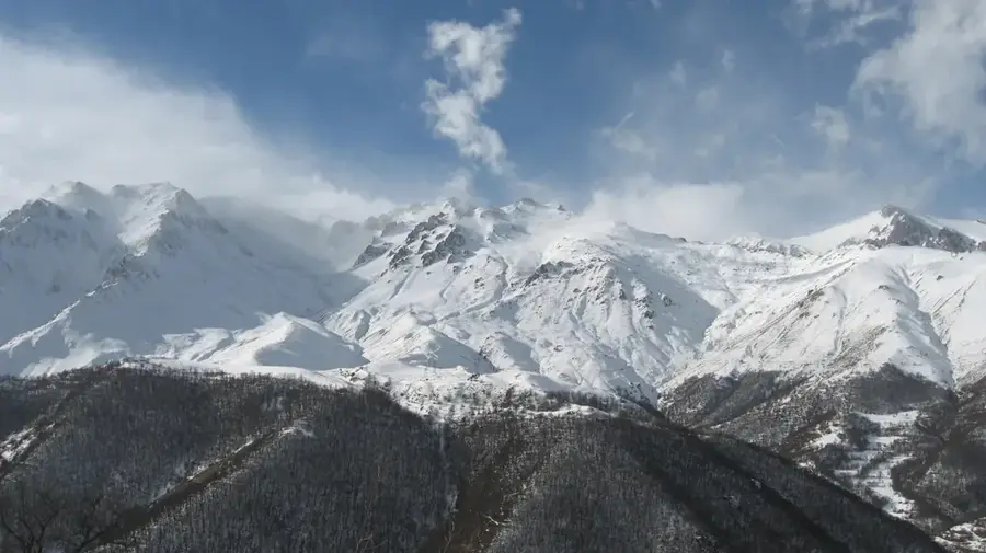
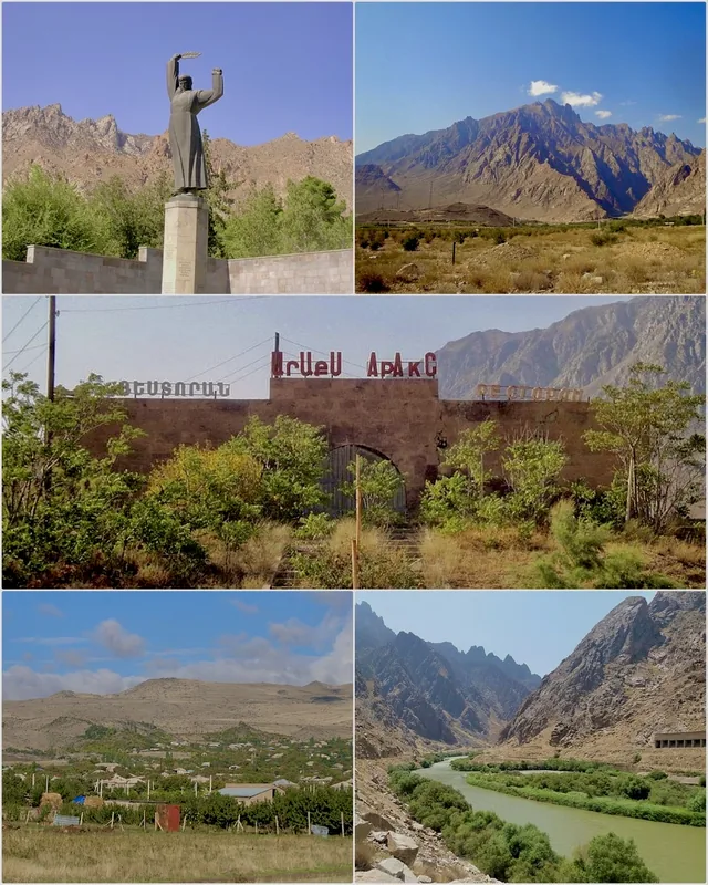
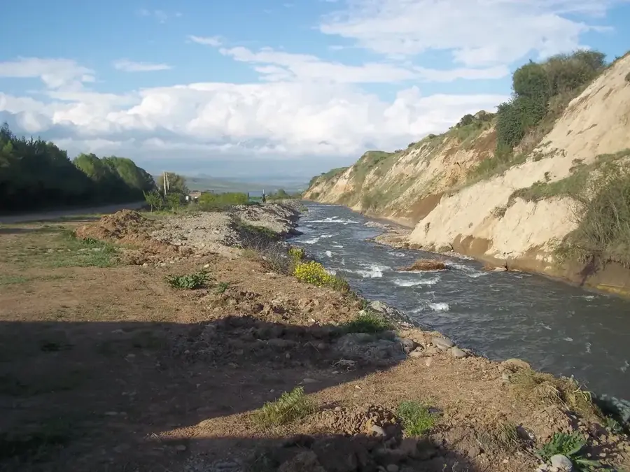
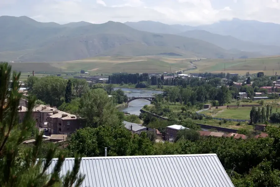
Mount Kaputjugh stands at an elevation of 3905 meters, making it the highest peak of the Zangezur Mountains on the border between Armenia and the Nakhchivan Autonomous Republic. Geologically, the mountain is primarily composed of granite and granodiorite, which results in its rugged and craggy appearance. The massif displays prominent features of Pleistocene glaciation, including glacial cirques and small tarns that dot the higher elevations. It serves as a significant watershed between the drainage basins of the Vorotan and Voghji rivers, influencing the hydrology of the Syunik province. The climate is distinctly alpine, with snowfields often lingering in shaded crevices well into the late summer months. Historically, the area surrounding the peak was vital for ancient mining activities and pastoral routes connecting the Armenian Highland with the Araks valley. Today, Kaputjugh is a challenging destination for mountaineers and researchers focused on the unique geological and biological diversity of the Southern Caucasus.
- Location: Armenia
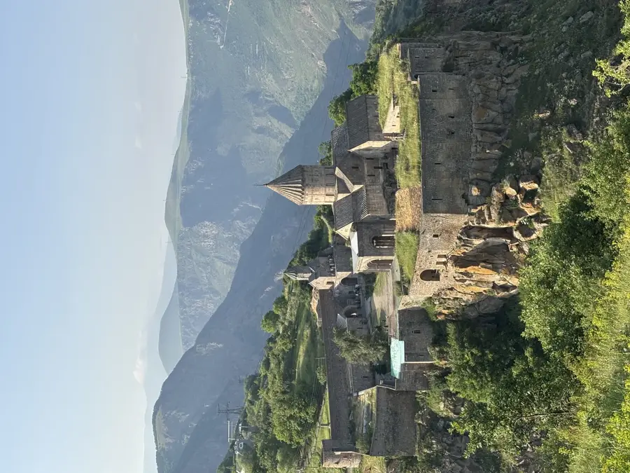
- Nearby: Tatev (Halidzor) (35 km)
Best time to visit & climate
The most pleasant time to visit is Jun–Aug.
| Jan | Feb | Mar | Apr | May | Jun | Jul | Aug | Sep | Oct | Nov | Dec | |
|---|---|---|---|---|---|---|---|---|---|---|---|---|
| Avg °C | -4 | -2 | 3 | 7 | 13 | 17 | 20 | 19 | 16 | 10 | 3 | -2 |
| Rain mm | 17 | 18 | 31 | 41 | 42 | 20 | 11 | 7 | 14 | 26 | 23 | 19 |
📋 Practical info
Geography
Facts
- Elevation of 3905 meters above sea level.
- Highest point of the Zangezur Mountain range.
- Geologically composed of granite and granodiorite.
- Border peak between Armenia and Nakhchivan.
- Features distinct traces of Pleistocene glaciation.
- Key watershed for the Vorotan and Voghji rivers.
Explore nearby
Notable places around
Route planner — Car & Motorhome
Where do you start? We build the route here, with stops and country notes along the way.
© OpenStreetMap contributors · OpenRouteService
Sights in the town Mount Kaputjugh (1)
Sights nearby
Frequently asked questions
How hard is the climb up Berg Kaputjugh?
When is the best time to visit Berg Kaputjugh?
Is there good access or parking?
How risky is the weather on the mountain?
Is Berg Kaputjugh suitable for a day hike?
Mount Kaputjugh: where is it located?
Mount Kaputjugh: when is the best time to visit?
Mount Kaputjugh: why is it worth visiting?

Nearby cities
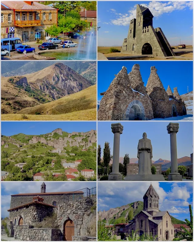
History & landmarks
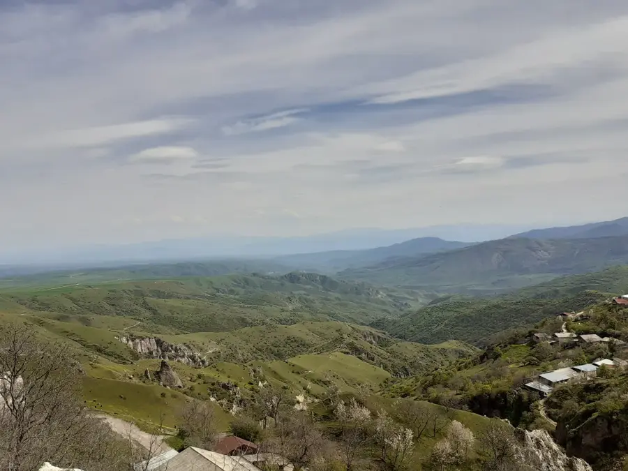

Nature
More places