Plizio Visual Lab
Congo Basin Edge
Weather…
Water temperature…
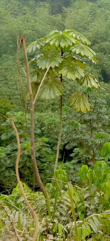
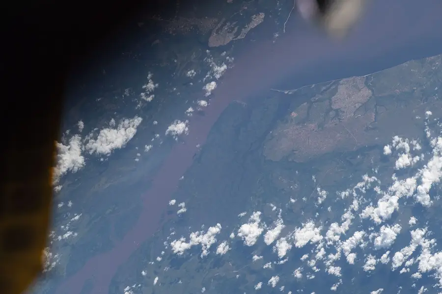
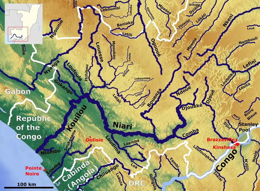
The edge of the Congo Basin in northern Angola marks a vital geographic transition between the central African plateau and the world's second-largest tropical rainforest. This region is defined by an intricate network of river systems that drain into the central depression, creating a lush environment rich in biodiversity. Geologically, the basin's rim in Angola rises to elevations around 1,000 meters before sloping inward toward the equatorial heartland. Historically, this area served as a natural barrier and a sanctuary for indigenous communities, remaining largely isolated from colonial expansion until the late 19th century. In contemporary times, the Angolan portion of the basin is recognized for its immense ecological value as a primary carbon sink and a critical buffer against climate change. The preservation of its dense forests and unique wildlife, including several endemic primate species, remains a priority for international environmental conservation efforts amidst growing pressures from agriculture and timber extraction.
Best time to visit & climate
The most pleasant time to visit is Jun–Aug.
| Jan | Feb | Mar | Apr | May | Jun | Jul | Aug | Sep | Oct | Nov | Dec | |
|---|---|---|---|---|---|---|---|---|---|---|---|---|
| Avg °C | 25 | 25 | 25 | 25 | 25 | 24 | 23 | 24 | 25 | 26 | 25 | 25 |
| Rain mm | 168 | 163 | 190 | 181 | 117 | 6 | 1 | 3 | 24 | 146 | 245 | 201 |
📋 Practical info
Geography
Facts
- The Congo Basin covers approximately 3.7 million square kilometers in Central Africa.
- The basin's edges in Angola reach altitudes between 800 and 1,200 meters.
- Annual rainfall in this transition zone often exceeds 1,500 millimeters.
- The basin stores about 25% of all carbon sequestered in African tropical forests.
- Geological formation of the basin began roughly 180 million years ago.
- Over 10,000 distinct plant species are found within the basin's ecological zones.
Explore nearby
Notable places around
Route planner — Car & Motorhome
Where do you start? We build the route here, with stops and country notes along the way.
© OpenStreetMap contributors · OpenRouteService
Sights nearby
Frequently asked questions
What is the edge of the Congo Basin?
When is the best time to visit?
Is the area suitable for nature tourism?
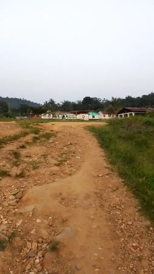
Are there villages or settlements nearby?
Is the area photogenic?
Congo Basin Edge: where is it located?
Congo Basin Edge: when is the best time to visit?
Congo Basin Edge: why is it worth visiting?

Nearby cities

Nature
More places