Plizio Visual Lab
Kouilou-Niari River
Weather…
Water temperature…
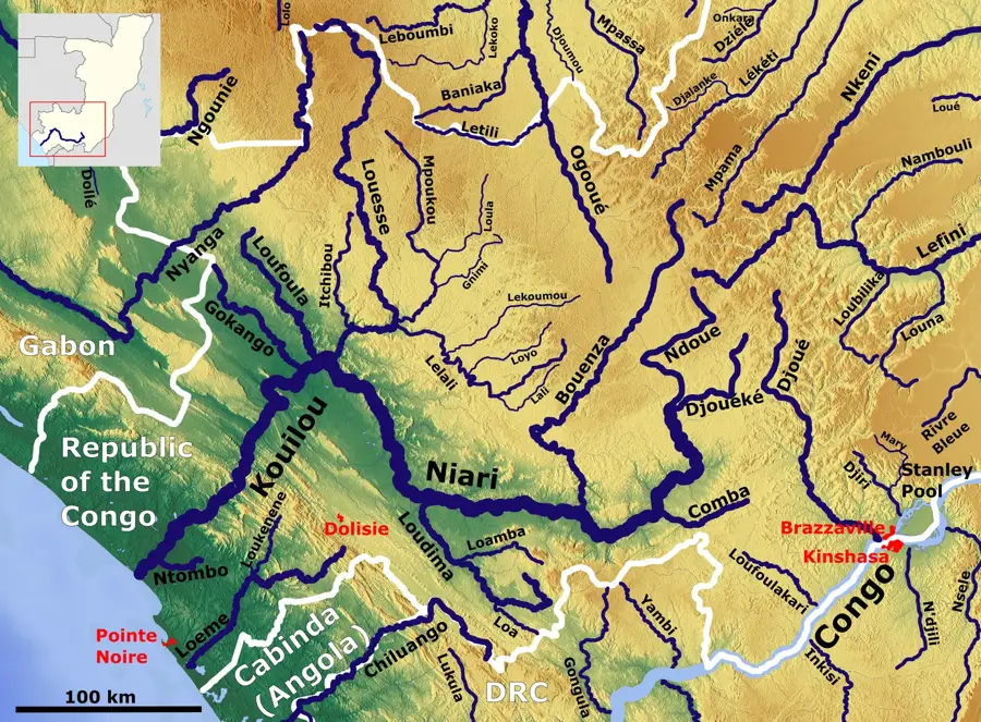
The Kouilou-Niari is the most significant river in the coastal region of the Republic of the Congo, discharging into the Atlantic Ocean near Madingo-Kayes. Formed by tributaries originating in the Batéké Plateau, it flows for approximately 560 kilometers toward the sea. The river traverses the Niari Valley, which is one of the nation's most fertile agricultural zones, famous for sugarcane and oil palm plantations. A prominent geographic feature is the Sounda Gorge, where the river carves through a narrow passage, representing vast untapped hydroelectric potential. During the colonial era, the waterway served as a vital commercial route, whereas today it primarily supports local agriculture and artisanal fishing. The riparian vegetation transitions from dense rainforests in the upper reaches to extensive mangrove swamps at the estuary, providing habitats for diverse bird species.
- Location: Congo - Brazzaville
- Nearby: Pointe-Noire (45 km)
Best time to visit & climate
The most pleasant time to visit is Jun–Aug.
| Jan | Feb | Mar | Apr | May | Jun | Jul | Aug | Sep | Oct | Nov | Dec | |
|---|---|---|---|---|---|---|---|---|---|---|---|---|
| Avg °C | 26 | 27 | 27 | 27 | 26 | 24 | 23 | 23 | 25 | 26 | 26 | 26 |
| Rain mm | 140 | 134 | 151 | 132 | 75 | 2 | 1 | 2 | 14 | 109 | 188 | 153 |
📋 Practical info
Geography
Facts
- The total length of the river is approximately 560 km.
- The river empties directly into the Atlantic Ocean.
- Sounda Gorge has a hydroelectric potential of 1,000 MW.
- The Niari Valley is the hub of Congo's sugar production.
- It is called Niari upstream and Kouilou in its lower reaches.
- The estuary is located about 50 km northwest of Pointe-Noire.
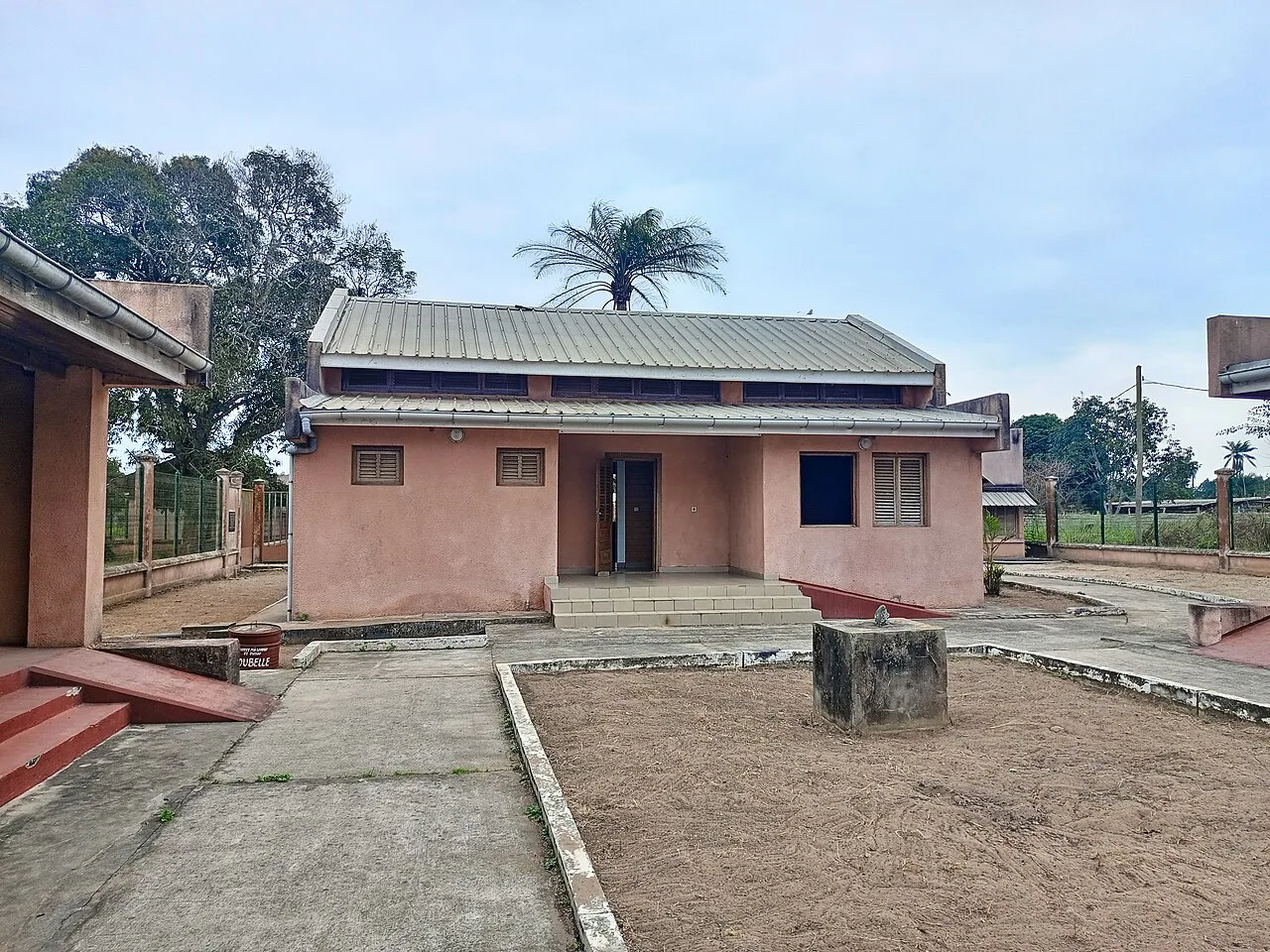
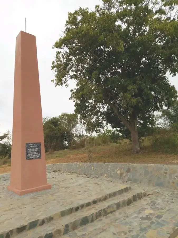
Explore nearby
Notable places around
Route planner — Car & Motorhome
Where do you start? We build the route here, with stops and country notes along the way.
© OpenStreetMap contributors · OpenRouteService
Sights nearby
Frequently asked questions
Does the Kouilou-Niari flow into the ocean?
What are the Gorges de la Diosso?
Are there rapids?
Can you camp by the river?
Is the river suitable for water sports?
Kouilou-Niari River: where is it located?
Kouilou-Niari River: when is the best time to visit?
Kouilou-Niari River: why is it worth visiting?

Nature
More places