Plizio Visual Lab
Mount Bamba

Weather…
Water temperature…
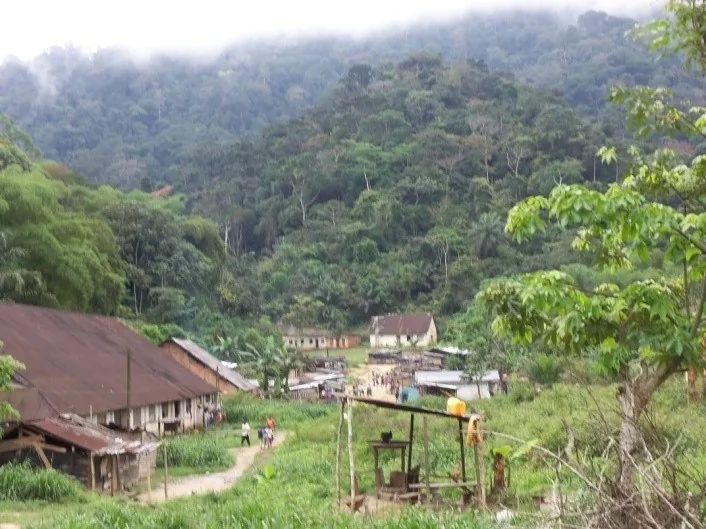
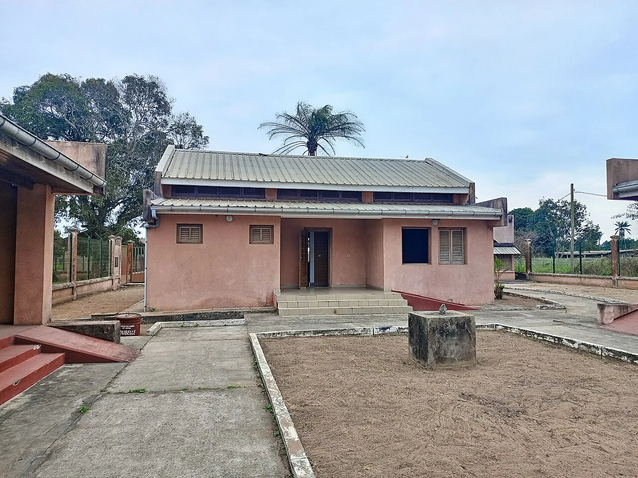
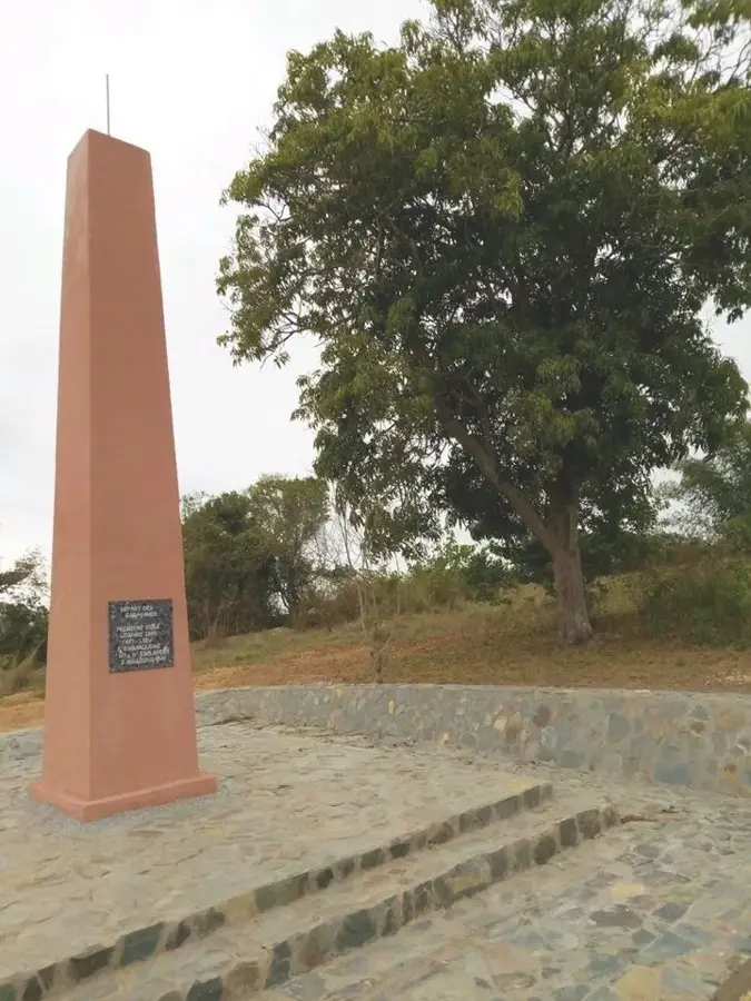
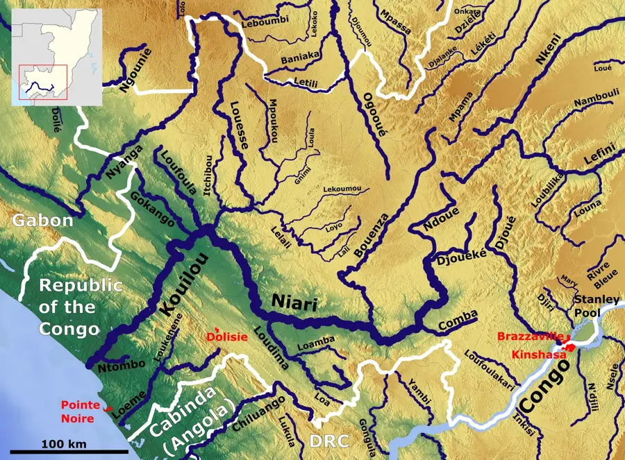
Mount Bamba is a prominent mountain massif in the southern Republic of the Congo, belonging to the Mayombe mountain system. Rising to an elevation of approximately 810 meters, it stands as a significant landmark within the Bouenza region, not far from the town of Loudima. Geologically, the mountain is a classic inselberg composed primarily of ancient Precambrian granite and quartzite, providing high resistance to tropical weathering. The slopes of Mount Bamba are widely utilized for agriculture, where local communities practice terrace farming to grow cassava, peanuts, and maize. Despite partial human encroachment, the higher reaches are still covered by remnants of tropical dry forest, adapted to the region's seasonal rainfall patterns. The mountain serves as a vital watershed, with its springs feeding several streams crucial for irrigating the surrounding fertile valleys. Historically, Mount Bamba was a key navigational landmark for inland caravans and later served as a strategic lookout point during the colonial era. Today, the mountain is a favored destination for local hikers, offering sweeping views across the rolling plains of the Niari Basin.
- Location: Congo - Brazzaville
- Nearby: Kimongo (21 km)
Best time to visit & climate
The most pleasant time to visit is Jun–Aug.
| Jan | Feb | Mar | Apr | May | Jun | Jul | Aug | Sep | Oct | Nov | Dec | |
|---|---|---|---|---|---|---|---|---|---|---|---|---|
| Avg °C | 25 | 25 | 25 | 25 | 25 | 24 | 23 | 24 | 25 | 26 | 25 | 25 |
| Rain mm | 168 | 163 | 190 | 181 | 117 | 6 | 1 | 3 | 24 | 146 | 245 | 201 |
📋 Practical info
Geography
Facts
- The peak reaches an elevation of 810 meters (2,657 feet) above sea level.
- The massif is composed of granite rock over 2 billion years old.
- The town of Loudima is situated in close proximity to the mountain.
- The local climate features a pronounced dry season from June to September.
- Terrace farming on the slopes is a key local strategy against soil erosion.
- Mount Bamba is recognized as one of the highest inselbergs in southern Congo.
Explore nearby
Notable places around
Route planner — Car & Motorhome
Where do you start? We build the route here, with stops and country notes along the way.
© OpenStreetMap contributors · OpenRouteService
Sights nearby
Frequently asked questions
How high is the mountain?
Are there marked trails?
Is camping allowed?
What should you bring?
Are there parking spaces?
Mount Bamba: where is it located?
Mount Bamba: when is the best time to visit?
Mount Bamba: why is it worth visiting?

Nature
More places