Plizio Visual Lab
Londela-Kayes

ℹ️Practical info — Londela-Kayes
▾
🌤 Weather — 5 days
📍 Nearby
Sights nearby
💡 Tips
- Bring all essential supplies from larger cities, as local shops carry very limited stock.
- Hire a local guide if you plan to venture into the surrounding countryside.
- French is widely used for communication, as English is rarely spoken here.
- Expect rough road conditions, particularly if you are traveling during the rainy season.
🍽 Food
Stop by a small roadside maquis for a hearty meat or fish stew.
This dough-like cassava staple is served alongside almost every main dish.
Pick up some locally grown mangoes or papayas from street-side stands.
🛍 Shopping · 🧘 Quiet spots
The hub of the town where locals buy and sell fresh agricultural produce.
You might occasionally find hand-carved wooden household items sold by local artisans.
Take a peaceful walk along the dirt tracks leading out of town towards the farmlands.
Find a quiet bench or a spot under the large trees near the village center to relax.
Water temperature…
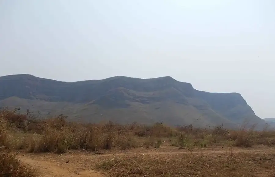
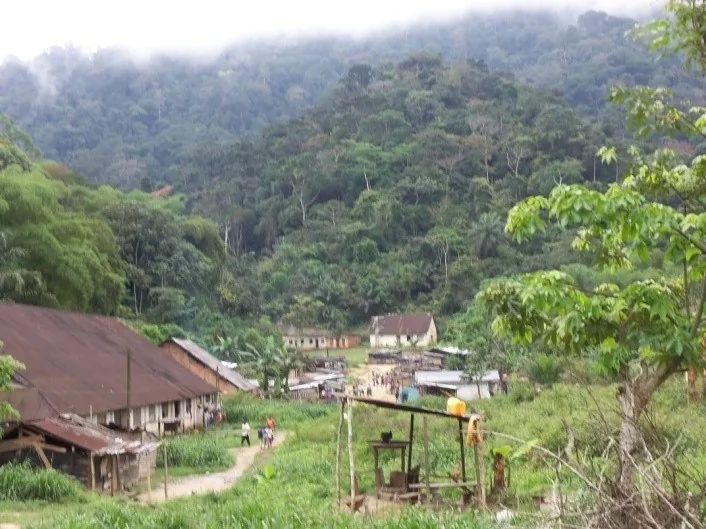
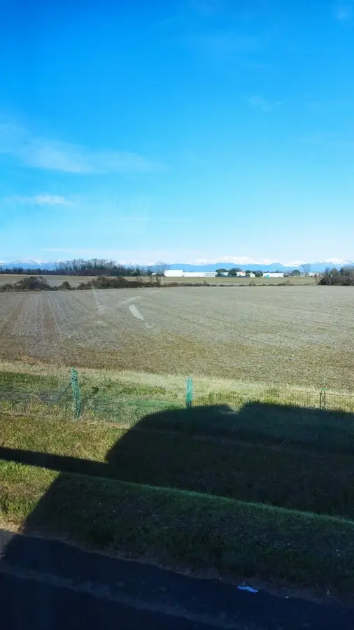
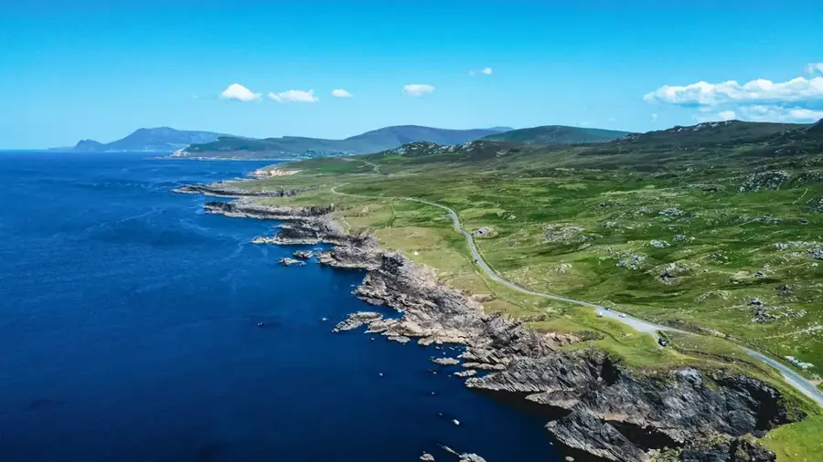
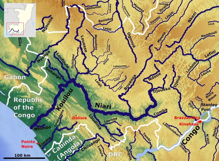
Londela-Kayes is located in the Kayes District of the Bouenza Department in southern Republic of the Congo. The settlement is part of a dense network of agricultural communities that are central to supplying the country's larger cities. The region's geography is defined by the fertile Niari Valley, which, due to its soil quality and regular rainfall, is among the most productive areas in the Congo. Londela-Kayes functions as a local hub for the trade of peanuts, cassava, and vegetables. The history of the site is closely linked to the development of local agricultural cooperatives established during the post-colonial era to promote rural development. Despite limited technological means, the community is known for its effective traditional farming methods. Improving the track connections to the CFCO railway line remains a priority for the settlement's economic development.
- Location: Congo - Brazzaville
- Nearby: Dolisie (27 km)
Best time to visit & climate
The most pleasant time to visit is Jun–Aug.
| Jan | Feb | Mar | Apr | May | Jun | Jul | Aug | Sep | Oct | Nov | Dec | |
|---|---|---|---|---|---|---|---|---|---|---|---|---|
| Avg °C | 25 | 25 | 26 | 25 | 25 | 24 | 24 | 25 | 26 | 26 | 25 | 25 |
| Rain mm | 175 | 166 | 195 | 181 | 123 | 7 | 1 | 3 | 28 | 160 | 263 | 218 |
Geography
Facts
- Londela-Kayes is administratively part of the Kayes District.
- The settlement is situated at an elevation of approximately 230 meters.
- Small-scale peanut farming is the primary livelihood of the population.
- The region is characterized by a hilly savanna landscape with gallery forests.
- The town has a primary school that serves children from several nearby hamlets.
- Water is mainly sourced from local wells and streams.
Explore nearby
Notable places around
Route planner — Car & Motorhome
Where do you start? We build the route here, with stops and country notes along the way.
© OpenStreetMap contributors · OpenRouteService
Sights in the town Londela-Kayes (1)
Frequently asked questions
What is Londela-Kayes?
What is the surrounding environment like?
What is the economic base?
Is there tourist infrastructure there?
How is the connection to Nkayi?
Londela-Kayes: where is it located?
Londela-Kayes: when is the best time to visit?
Londela-Kayes: why is it worth visiting?

Nearby cities
Nature
More places