Plizio Visual Lab
Niari River

Weather…
Water temperature…
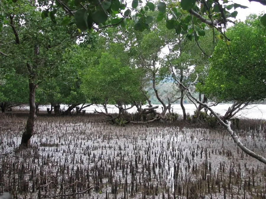
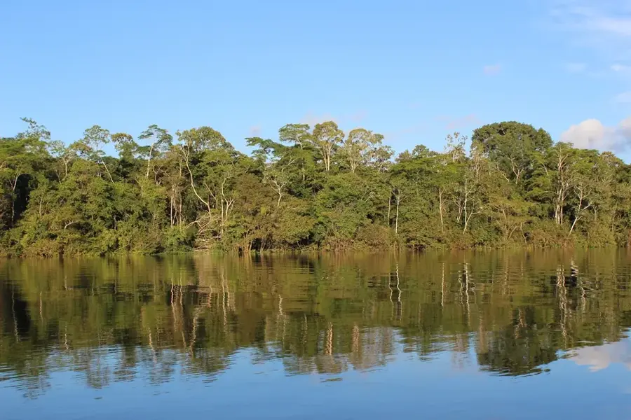
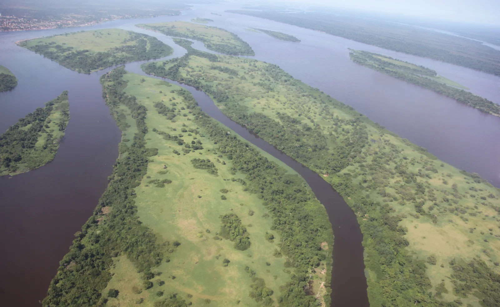
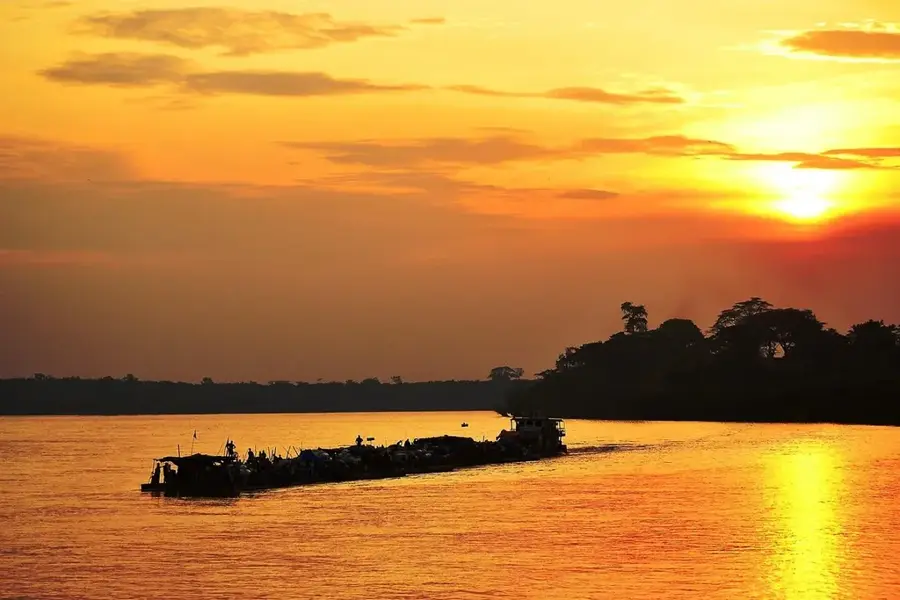
The Niari River is the most significant waterway in the southern part of the Republic of the Congo, flowing through the fertile Niari Valley. In its lower reaches, it is known as the Kouilou River before it finally empties into the Atlantic Ocean. The Niari Valley is the agricultural heartland of the country, where large-scale cultivation of sugarcane, peanuts, and maize takes place. Stretching for approximately 560 kilometers, the river is characterized by numerous rapids and waterfalls that hinder large-scale navigation. Historically, the Niari basin has been a central settlement area for the Bakongo people and served as a strategic corridor for trade networks. The region is also noted for its mineral wealth, which has spurred industrial development in recent decades. The surrounding environment features a transition between dense tropical forests and open savannahs, supporting diverse wildlife. Today, the Niari River remains crucial for the Republic of the Congo's food security and regional economic integration.
- Location: Congo - Kinshasa
- Nearby: Tshela (53 km)
Best time to visit & climate
The most pleasant time to visit is Jun–Aug.
| Jan | Feb | Mar | Apr | May | Jun | Jul | Aug | Sep | Oct | Nov | Dec | |
|---|---|---|---|---|---|---|---|---|---|---|---|---|
| Avg °C | 25 | 25 | 25 | 25 | 25 | 24 | 24 | 25 | 26 | 26 | 25 | 25 |
| Rain mm | 174 | 170 | 206 | 196 | 140 | 9 | 2 | 4 | 29 | 157 | 265 | 224 |
📋 Practical info
Geography
Facts
- Total length of approximately 560 kilometers
- Known as the Kouilou River in its lower course
- Discharges directly into the Atlantic Ocean
- Niari Valley is the country's primary agricultural region
- Historical heartland of the Bakongo people
- Rich in mineral resources including iron and copper
Explore nearby
Notable places around
Route planner — Car & Motorhome
Where do you start? We build the route here, with stops and country notes along the way.
© OpenStreetMap contributors · OpenRouteService
Sights nearby
Frequently asked questions
In which country does the Niari flow?
Is the valley agriculturally important?
Is there tourist infrastructure?
What natural wonders are located there?
How is the climate in the region?
Niari River: where is it located?
Niari River: when is the best time to visit?
Niari River: why is it worth visiting?

Nature

More places