Plizio Visual Lab
Kimongo
ℹ️Practical info — Kimongo
▾
🌤 Weather — 5 days
📍 Nearby
Sights nearby
💡 Tips
- Cross-border traffic gives this town a lively vibe, best observed near the transport hubs.
- Keep your travel documents handy if you plan to explore the borderland areas.
- Small local cafes are great for a quick rest, but don't expect fast service.
- Bring mosquito repellent, especially for evenings.
- Light rain gear is useful as the weather in the Niari region can be unpredictable.
🍽 Food
Cassava-based snacks at the central bus and taxi ranks.
Grilled meat skewers with spicy sauce from evening street vendors.
Local palm wine available at community gathering spots.
🛍 Shopping · 🧘 Quiet spots
Cross-border goods and everyday items at the town's lively market.
Local vegetables and tubers sold directly by farmers in the morning.
The quieter streets away from the main transit routes.
Open fields on the outskirts providing a sense of the vast Niari landscape.
Water temperature…
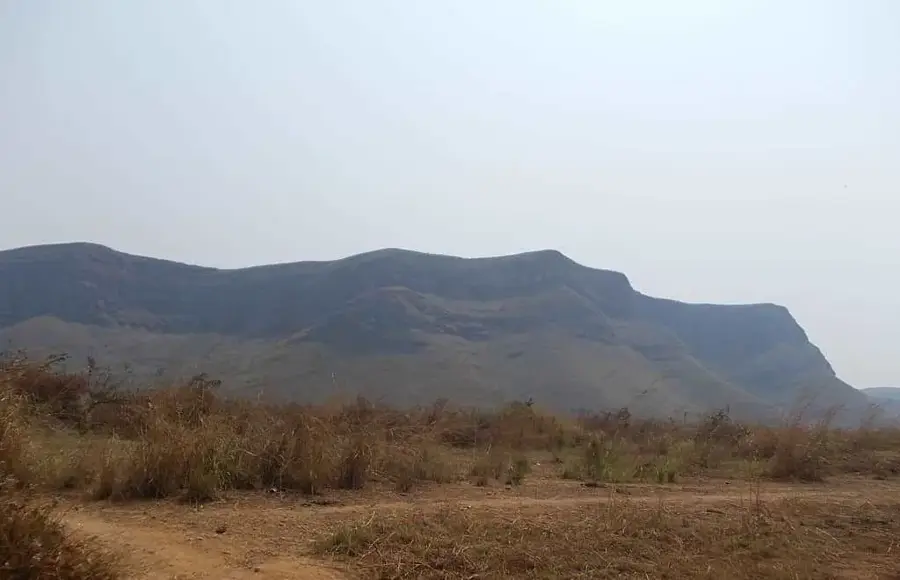
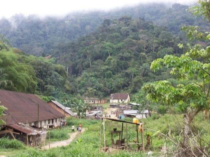
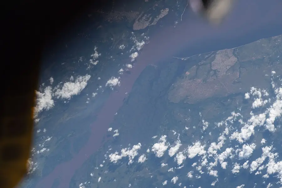
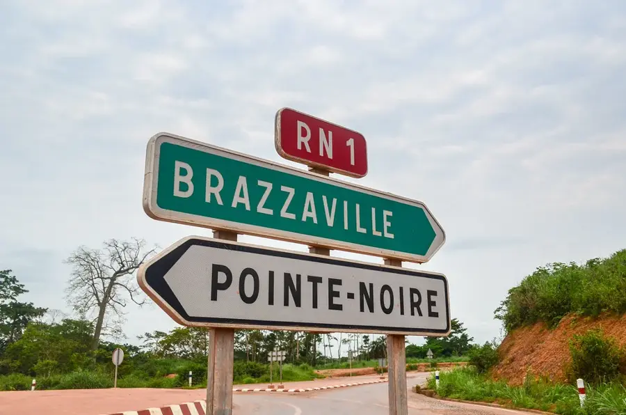
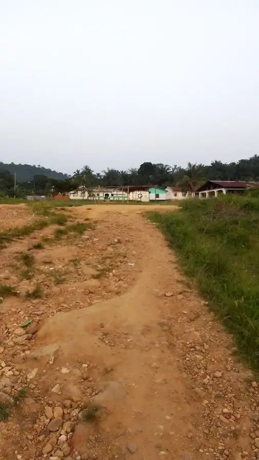
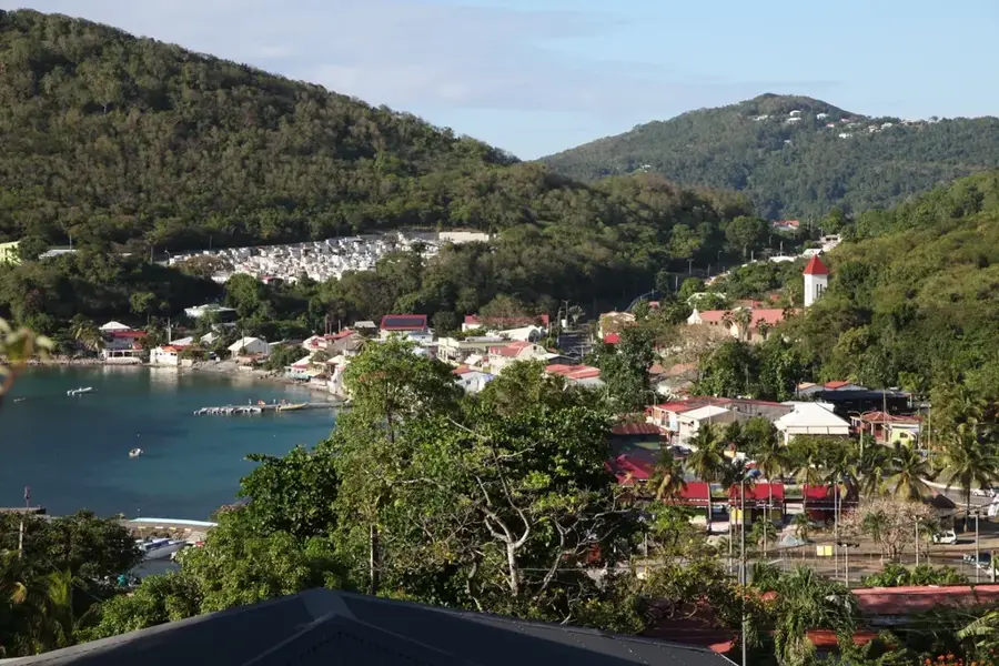
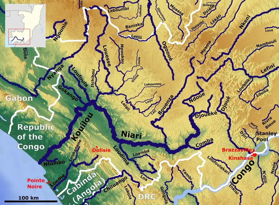
Kimongo is located in the Niari Department in southwestern Republic of the Congo, strategically positioned on the border with the Angolan exclave of Cabinda. The town is the seat of the district of the same name and serves as a vital trade and transit hub for the flow of goods between the two countries. Geographically, Kimongo is set within the Mayombe Mountains, a region characterized by dense tropical rainforests and rugged terrain. In addition to border trade, the local economy relies heavily on logging and agriculture, with cocoa and coffee among the primary export commodities. Kimongo has a turbulent history as a border outpost and was frequently a site of humanitarian importance during regional conflicts. Cultural diversity is high, with Congolese and Angolan influences blending together, which is particularly evident in the local cuisine and music.
- Location: Congo - Brazzaville
- Nearby: Londela-Kayes (36 km)
Best time to visit & climate
The most pleasant time to visit is Jun–Aug.
| Jan | Feb | Mar | Apr | May | Jun | Jul | Aug | Sep | Oct | Nov | Dec | |
|---|---|---|---|---|---|---|---|---|---|---|---|---|
| Avg °C | 25 | 25 | 25 | 25 | 25 | 24 | 23 | 24 | 25 | 26 | 25 | 25 |
| Rain mm | 168 | 163 | 190 | 181 | 117 | 6 | 1 | 3 | 24 | 146 | 245 | 201 |
Geography
Facts
- Kimongo is situated at an elevation of about 280 meters in the Mayombe Massif.
- The town is connected to the port city of Pointe-Noire via a national highway.
- The Kimongo District is renowned for its rich deposits of precious timber.
- The border with Angola/Cabinda is located just a few kilometers from the town center.
- Kimongo experiences one of the highest rainfall rates in the southern part of the country.
- The local population primarily speaks the Kikongo and Kituba languages.
Explore nearby
Notable places around
Route planner — Car & Motorhome
Where do you start? We build the route here, with stops and country notes along the way.
© OpenStreetMap contributors · OpenRouteService
Frequently asked questions
Where is Kimongo located?
What is the significance of the location?
How do you get to Kimongo?
Are there customs stations there?
What are local specialties?
Kimongo: where is it located?
Kimongo: when is the best time to visit?
Kimongo: why is it worth visiting?

Nearby cities
History & landmarks

Nature
More places