Plizio Visual Lab
Mayombe Forest
Weather…
Water temperature…
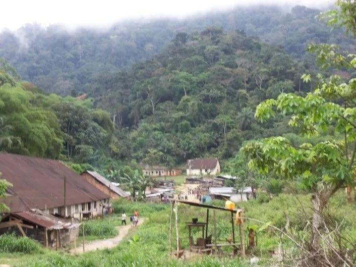
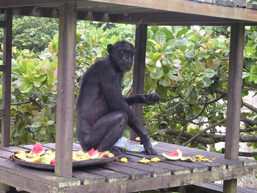
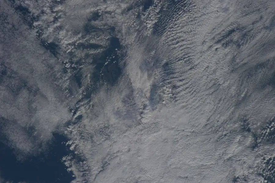
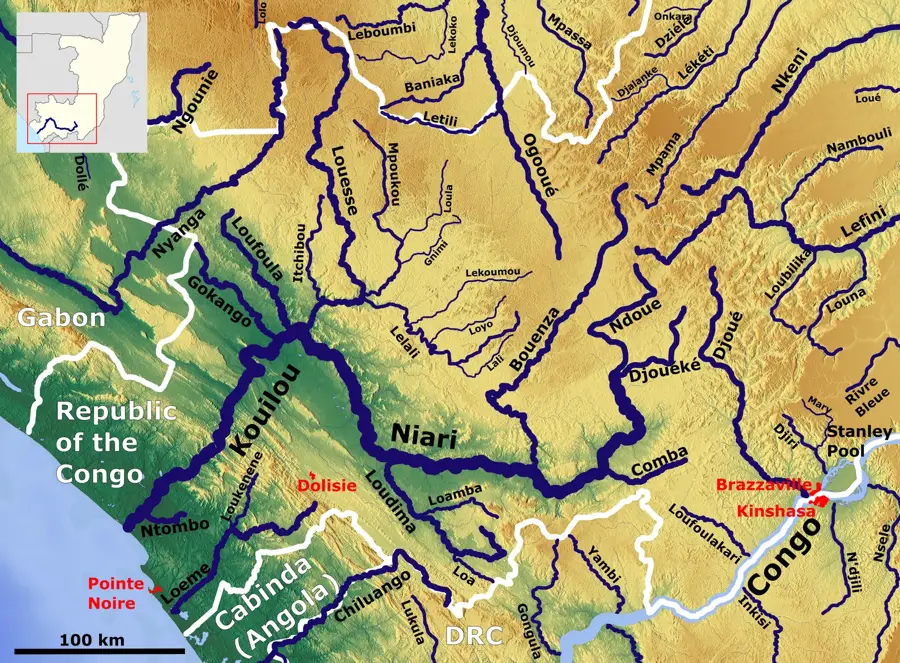
The Mayombe Forest is part of a low mountain range that runs parallel to the Atlantic coast through the Republic of the Congo. This region is blanketed in dense tropical rainforest and is characterized by a humid, misty climate influenced by its proximity to the ocean. Historically, the Mayombe Forest presented a formidable obstacle during the construction of the Congo-Ocean Railway in the 1920s, a project that involved thousands of laborers working under grueling conditions. Forestry is a significant economic sector here, with high-value timbers such as limba and okoumé being harvested for export. Ecologically, the forest is a biodiversity hotspot, home to numerous endemic plant species and populations of chimpanzees and guenons. The rugged, hilly landscape, reaching elevations of up to 800 meters, provides dramatic vistas and is crisscrossed by numerous waterfalls. Despite commercial logging pressure, there is an increasing movement toward sustainable management and the protection of its primary forest tracts.
- Location: Congo - Brazzaville
- Nearby: Londela-Kayes (8 km)
Best time to visit & climate
The most pleasant time to visit is Jun–Aug.
| Jan | Feb | Mar | Apr | May | Jun | Jul | Aug | Sep | Oct | Nov | Dec | |
|---|---|---|---|---|---|---|---|---|---|---|---|---|
| Avg °C | 25 | 25 | 26 | 25 | 25 | 24 | 24 | 25 | 26 | 26 | 25 | 25 |
| Rain mm | 175 | 166 | 195 | 181 | 123 | 7 | 1 | 3 | 28 | 160 | 263 | 218 |
📋 Practical info
Geography
Facts
- The mountain range reaches elevations of up to 800 meters.
- Site of intense railway construction between 1921 and 1934.
- Region is famous for the export of okoumé timber.
- The forest spans across Gabon, Congo, and Angola.
- Annual rainfall often exceeds 2,000 mm.
- Home to the endangered Mayombe chimpanzee.
Explore nearby
Notable places around
Route planner — Car & Motorhome
Where do you start? We build the route here, with stops and country notes along the way.
© OpenStreetMap contributors · OpenRouteService
Sights nearby
Frequently asked questions
What characterizes the Mayombe forest?
Can you cross the forest by train?
Are there precious woods there?
Is the Mayombe forest safe for hiking?
When does it rain the most?
Mayombe Forest: where is it located?
Mayombe Forest: when is the best time to visit?
Mayombe Forest: why is it worth visiting?

Nature
More places