Plizio Visual Lab
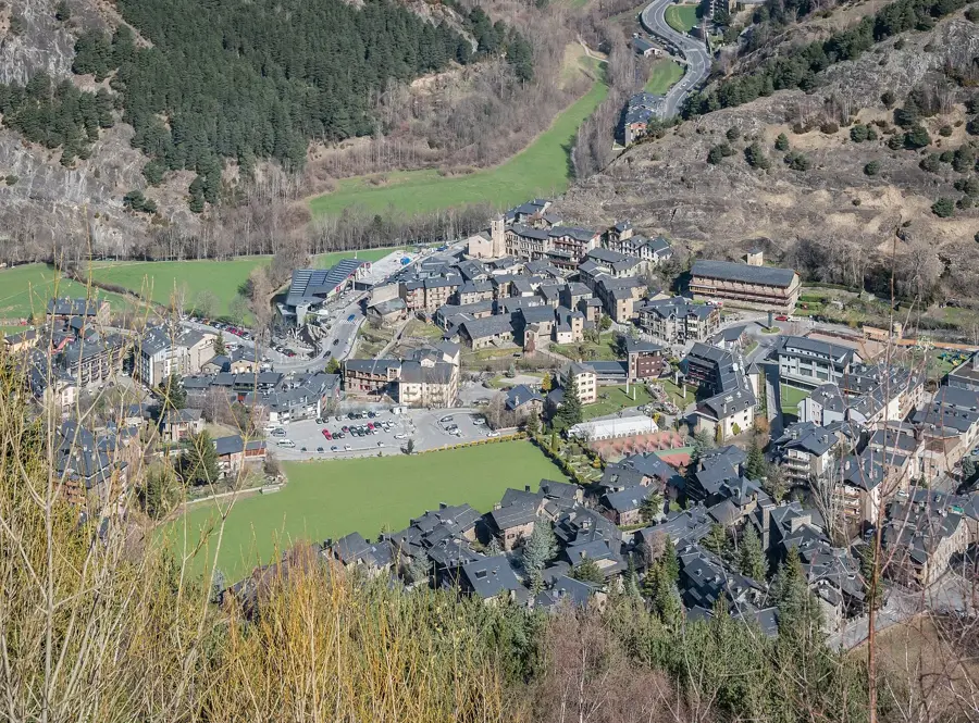
Estanys de la Vall del Riu
Weather…
Water temperature…
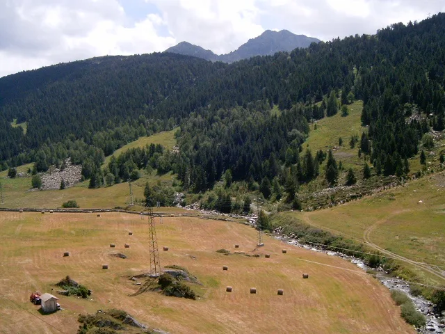
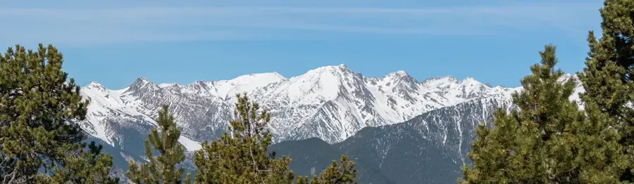
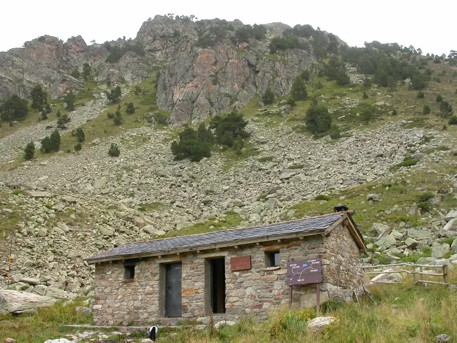
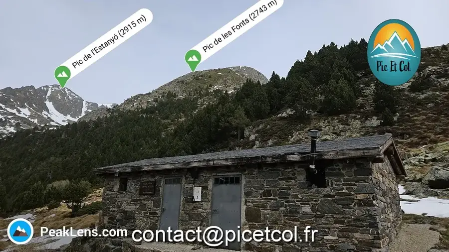
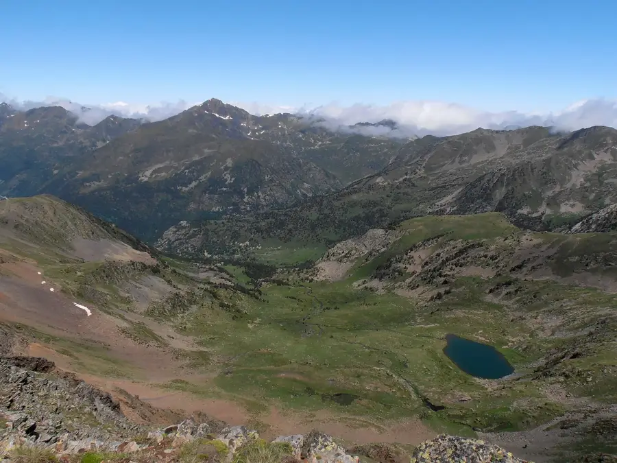
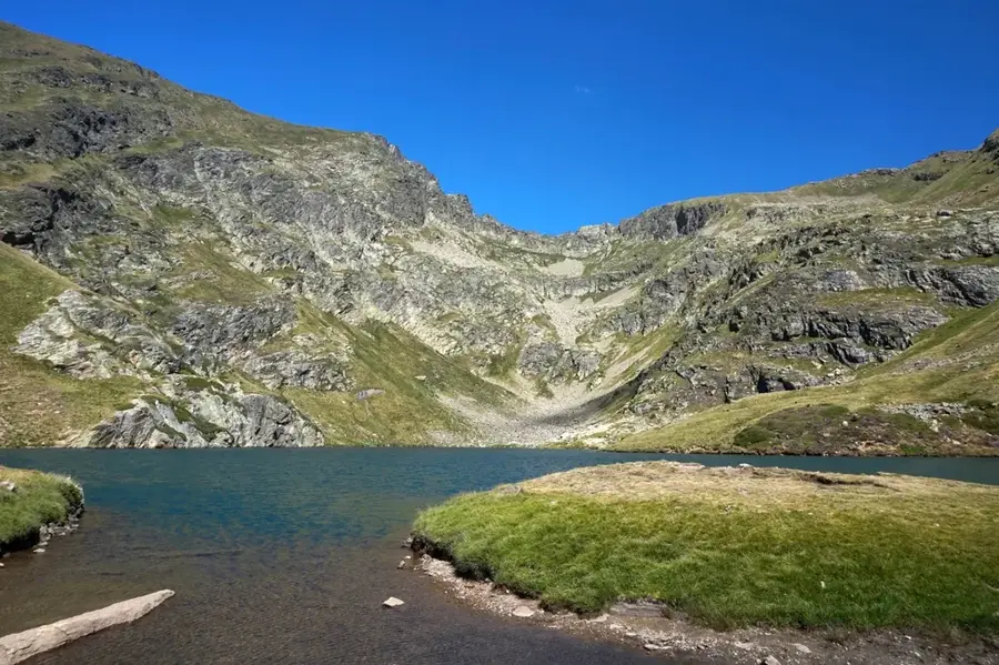
The Estanys de la Vall del Riu are a collection of remarkable high-altitude glacial lakes positioned within a mountain cirque in the parish of Canillo. The largest of these lakes is situated at an elevation of roughly 2,530 meters, surrounded by the imposing ridges of Pic de la Portelleta and Pic de l'Estanyó. These water bodies are quintessential features of the Andorran Pyrenees, characterized by their crystal-clear water and nutrient-poor status typical of alpine environments. The surrounding landscape consists of alpine meadows and vast scree slopes, providing essential habitats for Pyrenean chamois and marmots. During the summer months, the lakes are a favored destination for seasoned hikers, with the ascent through the Vall del Riu offering deep insights into the glacial geomorphology of the area. The lakes play a vital role in the local watershed and support populations of native trout adapted to sub-zero winter temperatures. Conservation of this delicate ecosystem is paramount for sustaining the region's unique high-altitude biodiversity.
- Location: Andorra
- Top sights: Pic de Torradella · Pic de la Pala Alta · Pont Tibetà de Canillo
- Nearby: Planoles (4 km)
Best time to visit & climate
The most pleasant time to visit is Jun–Aug.
| Jan | Feb | Mar | Apr | May | Jun | Jul | Aug | Sep | Oct | Nov | Dec | |
|---|---|---|---|---|---|---|---|---|---|---|---|---|
| Avg °C | -2 | -2 | 1 | 5 | 9 | 14 | 16 | 16 | 12 | 8 | 2 | -1 |
| Rain mm | 60 | 48 | 57 | 71 | 77 | 52 | 46 | 47 | 50 | 64 | 70 | 49 |
📋 Practical info
Geography
Facts
- The primary lake is positioned at an altitude of 2,530 meters above sea level.
- These lakes were formed by glacial activity approximately 10,000 years ago.
- They are located deep within the Vall del Riu in the northeast of Andorra.
- The lakes support brown trout (Salmo trutta), which thrive in the cold, clear water.
- The area is a known habitat for the rare Pyrenean desman, a semi-aquatic mammal.
- The hiking trail to the lakes typically commences from the village of Ransol.
Explore nearby
Notable places around
Route planner — Car & Motorhome
Where do you start? We build the route here, with stops and country notes along the way.
© OpenStreetMap contributors · OpenRouteService
Sights in the town Estanys de la Vall del Riu (6)
Cap de la Tosa d'Entor
Cap de la Tosa d'Entor is a mountain in Andorra, a peak in the Pyrenees.
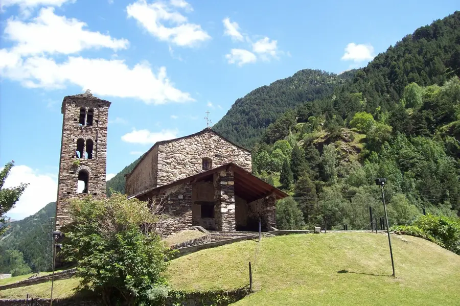
Sant Pere del Tarter
Sant Pere del Tarter is a church in Canillo, Andorra, a historic building.
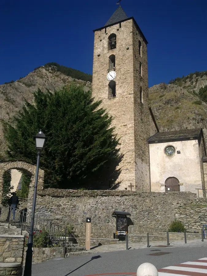
Sant Joan de Caselles
Sant Joan de Caselles is a church in Canillo, Andorra, from the 12th century.
Sights nearby
Frequently asked questions
How to reach Estanys de la Vall del Riu?
Is swimming allowed in the lakes?
Are there any mountain shelters nearby?
When does the snow melt here?
Is special equipment needed?
Estanys de la Vall del Riu: where is it located?
Estanys de la Vall del Riu: what is there to see?
Estanys de la Vall del Riu: when is the best time to visit?
Estanys de la Vall del Riu: why is it worth visiting?

Nature
More places