Plizio Visual Lab
Pic de Racó Gaudre

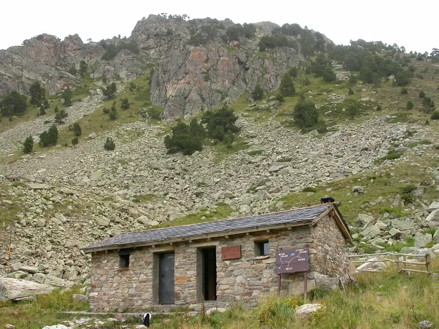
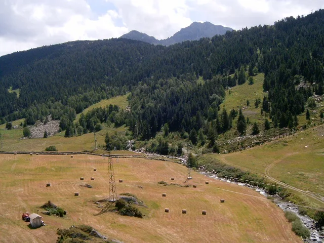
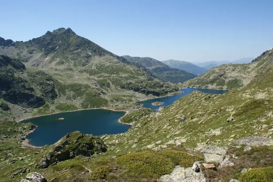
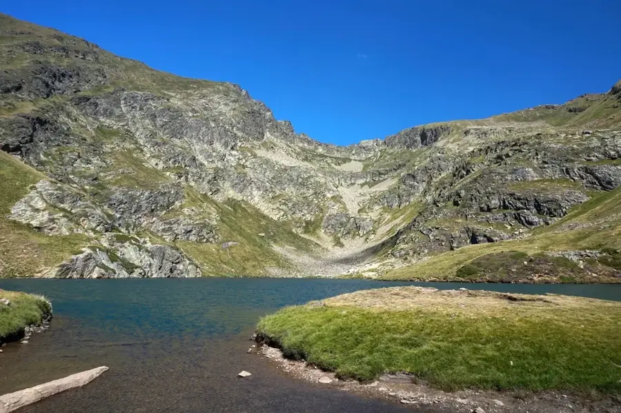
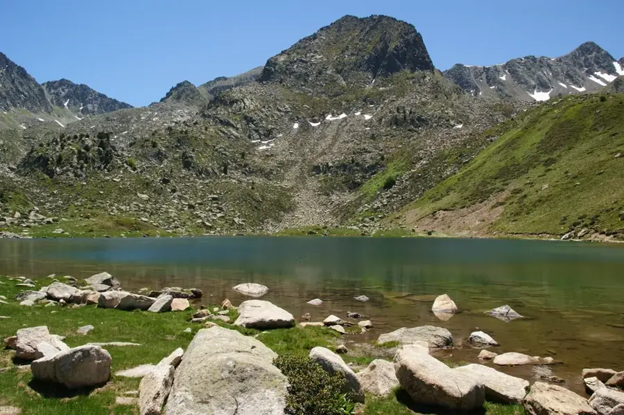
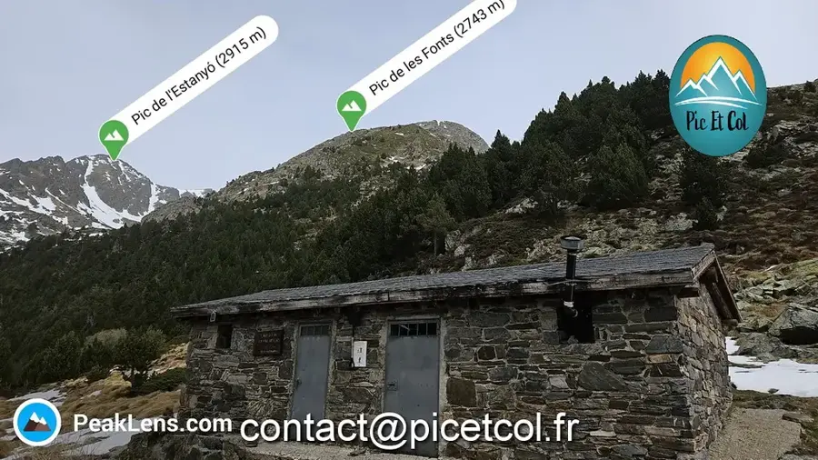
Pic de Racó Gaudre is a 2,662-meter-high mountain in eastern Andorra, marking the border between the parish of Encamp and France. It is located in a remote and wild region of the Pyrenees, characterized by glacial relics and vast plateaus. The name 'Racó Gaudre' refers to its topographical position in a hidden corner of the valley. Geologically, the mountain is dominated by crystalline schists and gneisses, shaped by erosion over millions of years. The ascent to the summit provides an impressive view of the Siscaró lakes and the French Ariège valleys. In the higher elevations, marmots and chamois are often observed, while the barren rock crevices provide habitats for alpine herbs. The area is particularly popular with experienced mountaineers who appreciate the solitude and untouched nature of the Andorran border region.
- Location: Andorra
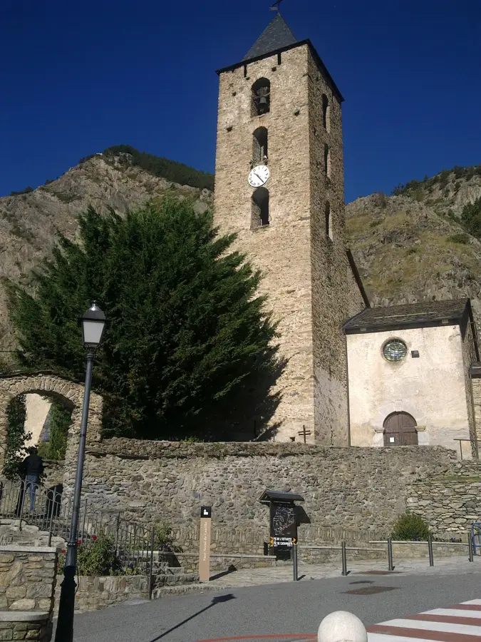
- Top sights: Sant Bartomeu de Soldeu · Tosa de Siscaro
- Nearby: Port d'Envalira (5 km)
Best time to visit & climate
The most pleasant time to visit is Jun–Aug.
| Jan | Feb | Mar | Apr | May | Jun | Jul | Aug | Sep | Oct | Nov | Dec | |
|---|---|---|---|---|---|---|---|---|---|---|---|---|
| Avg °C | -2 | -2 | 1 | 5 | 9 | 14 | 16 | 16 | 12 | 8 | 2 | -1 |
| Rain mm | 60 | 48 | 57 | 71 | 77 | 52 | 46 | 47 | 50 | 64 | 70 | 49 |
📋 Practical info
Geography
Facts
- Elevation of 2,662 meters
- Located in Encamp parish
- Border between Andorra and France
- View of Siscaró lakes
- Composed of gneiss and schist
- Home to alpine marmots
Explore nearby
Notable places around
Route planner — Car & Motorhome
Where do you start? We build the route here, with stops and country notes along the way.
© OpenStreetMap contributors · OpenRouteService
Sights in the town Pic de Racó Gaudre (2)
Tosa de Siscaro
Mountain on the border between France and Andorra, in the Pyrenees.
Sights nearby
Frequently asked questions
Where is Pic de Racó Gaudre located?
How high is this mountain?
Is the peak well-known?
What vegetation prevails?
When is the best time to visit?
Pic de Racó Gaudre: where is it located?
Pic de Racó Gaudre: what is there to see?
Pic de Racó Gaudre: when is the best time to visit?
Pic de Racó Gaudre: why is it worth visiting?

History & landmarks

Nature
More places