Plizio Visual Lab
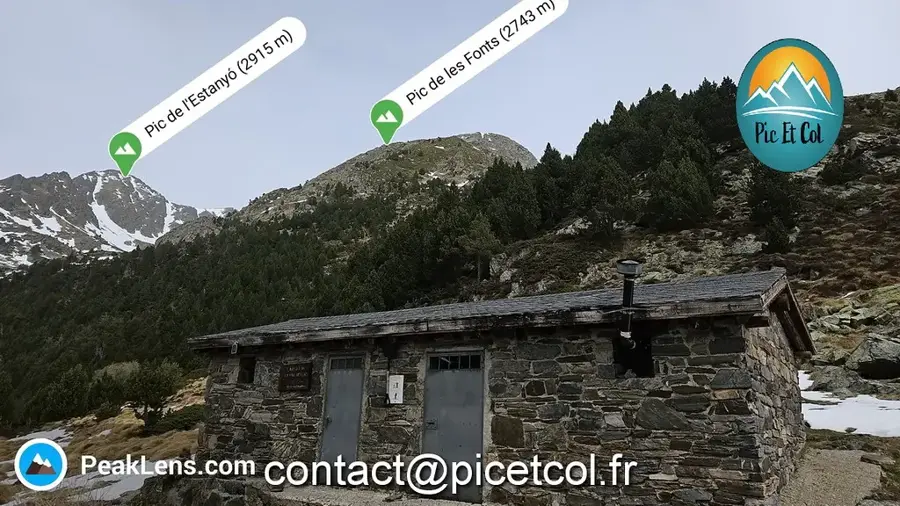
Pic de l'Estanyó
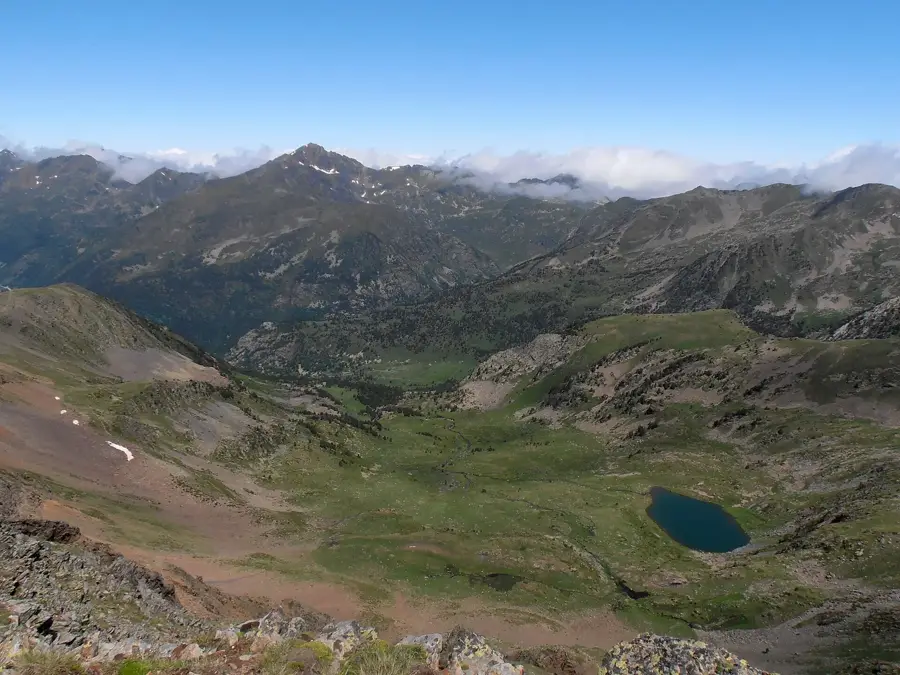
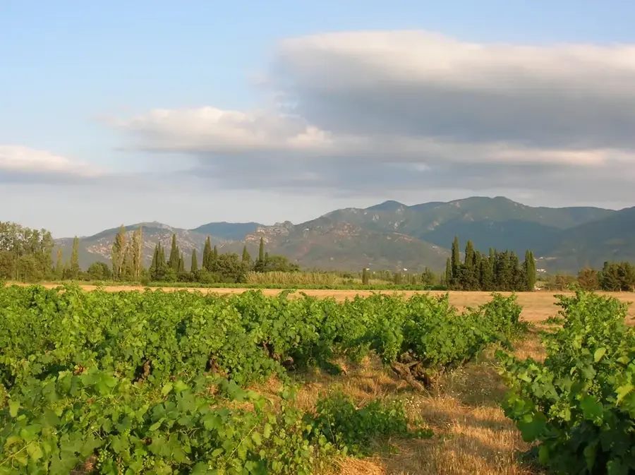
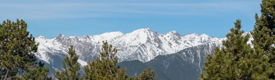
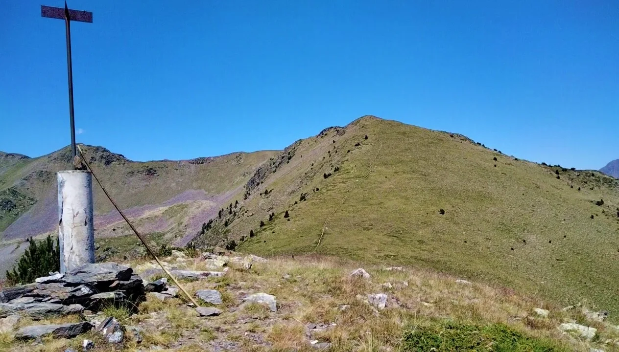
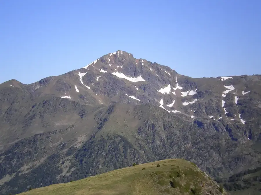
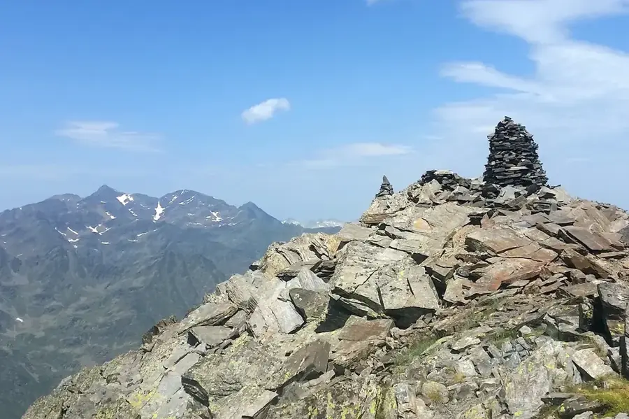
Pic de l'Estanyó is the second highest mountain in Andorra, reaching an elevation of 2,915 meters above sea level. Located in the northern parish of Ordino, it sits within the borders of the Sorteny Valley Natural Park, a region noted for its exceptional botanical diversity. The mountain's summit provides an unparalleled viewpoint, offering vistas of the nearby Estanyó lake and the vast Estanyó valley. Geologically, the peak is primarily composed of metamorphic rocks, specifically schist, which contributes to its sharp and rugged appearance. The ascent to the summit is considered a challenging but rewarding hike, passing through various alpine ecosystems and scree slopes. It is a critical habitat for high-altitude wildlife, including the bearded vulture and various alpine marmots. The peak is often snow-capped well into the early summer, reflecting its significant elevation. As a part of the axial Pyrenean range, Pic de l'Estanyó is a premier destination for experienced mountaineers seeking a true alpine experience.
- Location: Andorra
- Top sights: Pic de l'Estanyó · roc del Rellotge · Pic de les Fonts
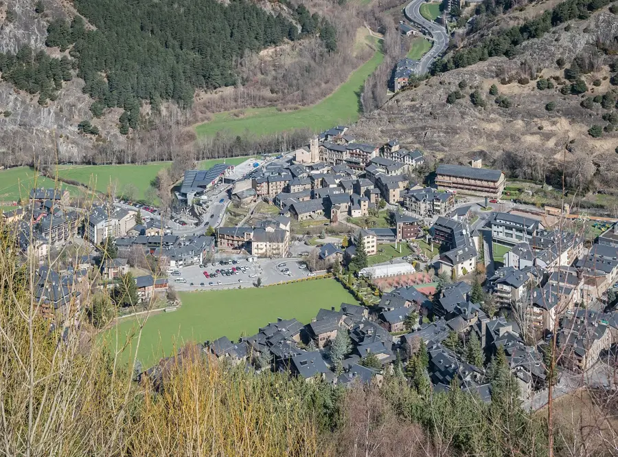
- Nearby: Planoles (4 km)
Best time to visit & climate
The most pleasant time to visit is Jun–Aug.
| Jan | Feb | Mar | Apr | May | Jun | Jul | Aug | Sep | Oct | Nov | Dec | |
|---|---|---|---|---|---|---|---|---|---|---|---|---|
| Avg °C | -2 | -2 | 1 | 5 | 9 | 14 | 16 | 16 | 12 | 8 | 2 | -1 |
| Rain mm | 60 | 48 | 57 | 71 | 77 | 52 | 46 | 47 | 50 | 64 | 70 | 49 |
📋 Practical info
Geography
Facts
- Elevation of 2,915 meters, the second highest in Andorra.
- Located in the Sorteny Valley Natural Park.
- The summit offers views of the Estanyó lake below.
- Geology is characterized by metamorphic schist rocks.
- Known for the presence of rare alpine plant species.
- Part of the main Pyrenean axial ridge.
Explore nearby
Notable places around
Route planner — Car & Motorhome
Where do you start? We build the route here, with stops and country notes along the way.
© OpenStreetMap contributors · OpenRouteService
Sights in the town Pic de l'Estanyó (4)
Pic de les Fonts
Mountain in Andorra, located near Pic de l'Estanyó.
Sights nearby
Frequently asked questions
How high is the Pic de l'Estanyó?
Where does the tour to the summit start?
How demanding is the ascent?
Does the summit offer a good view?
Is there drinking water on the way?
Pic de l'Estanyó: where is it located?
Pic de l'Estanyó: what is there to see?
Pic de l'Estanyó: when is the best time to visit?
Pic de l'Estanyó: why is it worth visiting?

Nature
More places