Plizio Visual Lab
Serra de l'Estanyo
Weather…
Water temperature…
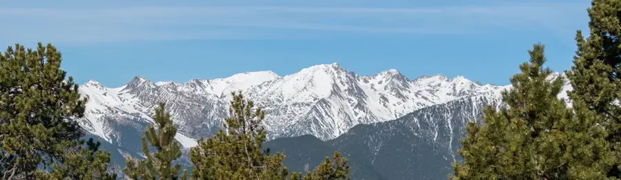
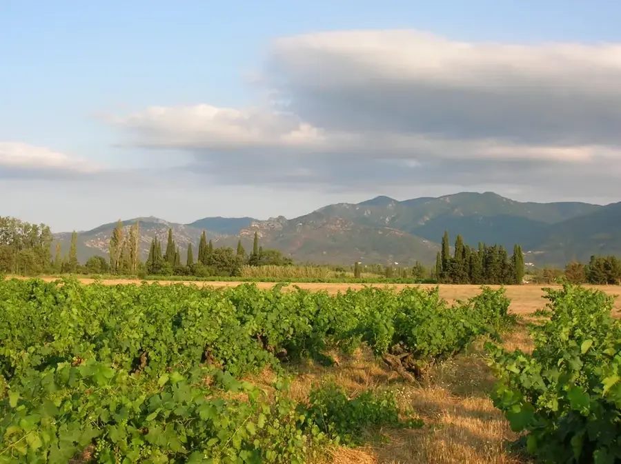
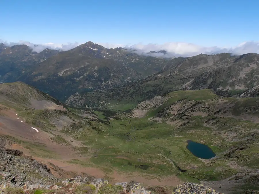
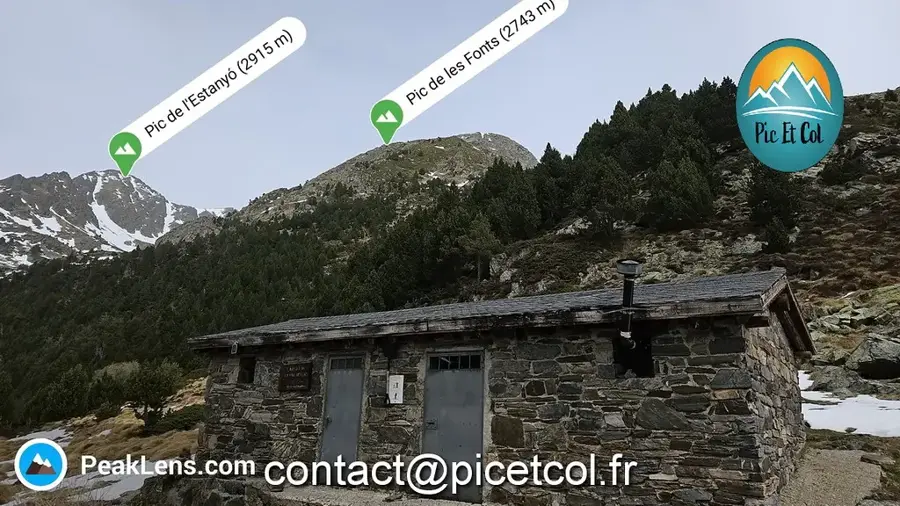
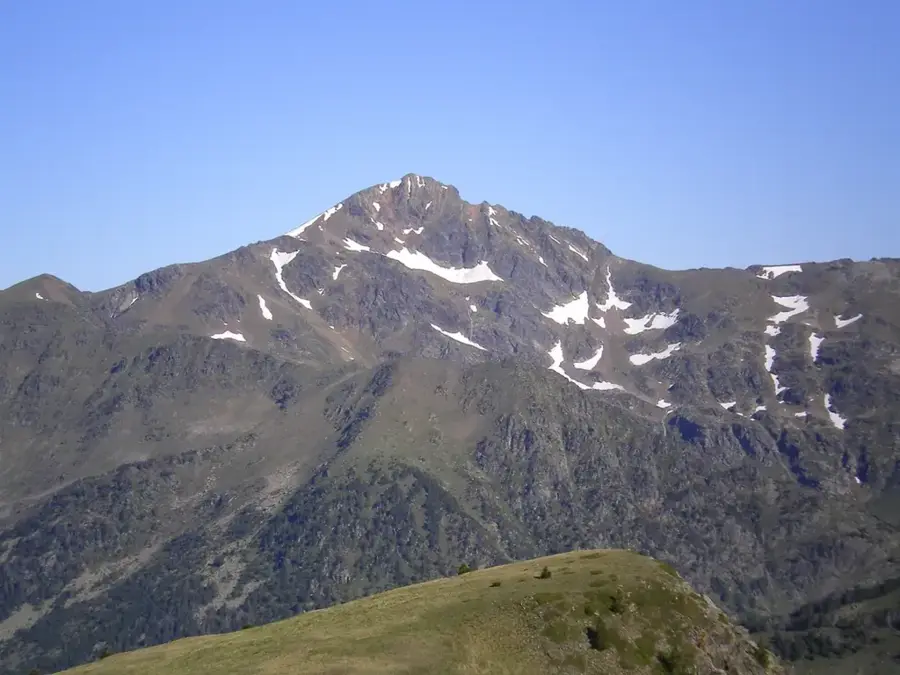
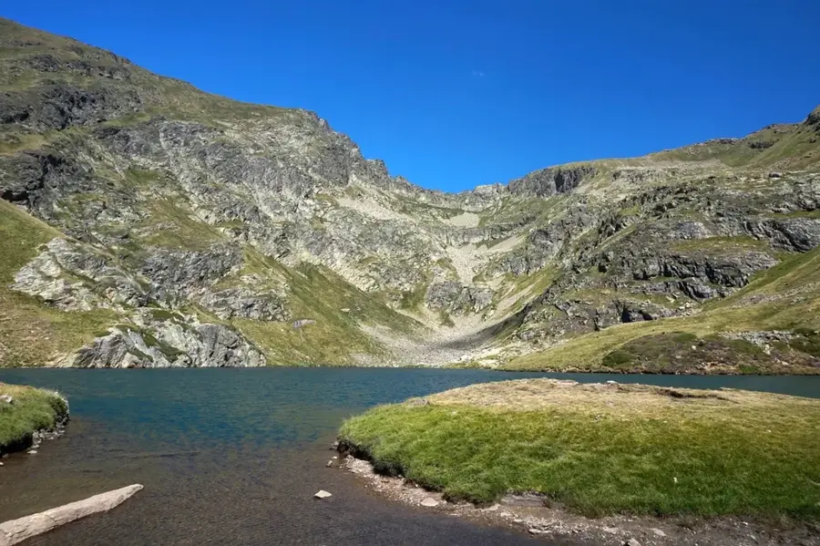
The Serra de l'Estanyó is a prominent mountain range and peak in northern Andorra, reaching a significant elevation of 2,915 meters above sea level. It ranks as one of the highest summits in the principality and is situated within the parish of Ordino. The geological composition primarily consists of metamorphic rocks such as slate and quartzite, which are characteristic of the Central Pyrenees. The surrounding area features several glacial lakes that are vital for the local ecosystem and regional water management. Climbing to the summit is considered technically demanding, yet it provides an extensive vantage point over the Valira del Nord valley. The flora is characterized by alpine grasslands and rare endemic species like the Pyrenean saxifrage. Historically, the region served as high-altitude grazing land for livestock and as a transit route for trade between Andorra and France.
- Location: Andorra
- Top sights: Pic de l'Estanyó · Pic de les Fonts · roc del Rellotge
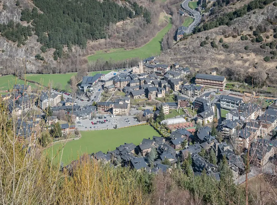
- Nearby: Arans (4 km)
Best time to visit & climate
The most pleasant time to visit is Jun–Aug.
| Jan | Feb | Mar | Apr | May | Jun | Jul | Aug | Sep | Oct | Nov | Dec | |
|---|---|---|---|---|---|---|---|---|---|---|---|---|
| Avg °C | -2 | -2 | 1 | 5 | 9 | 14 | 16 | 16 | 12 | 8 | 2 | -1 |
| Rain mm | 60 | 48 | 57 | 71 | 77 | 52 | 46 | 47 | 50 | 64 | 70 | 49 |
📋 Practical info
Geography
Facts
- The peak reaches an elevation of exactly 2,915 meters above sea level.
- The mountain is located entirely within the parish of Ordino.
- The area hosts the Estany de l'Estanyó, a significant glacial lake.
- Geologically, Paleozoic slate formations dominate the massif.
- The summit is the third highest point in the Principality of Andorra.
- Average winter temperatures frequently drop below -10 degrees Celsius.
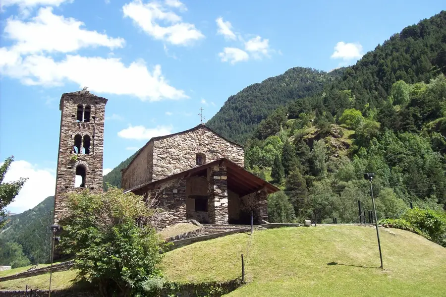
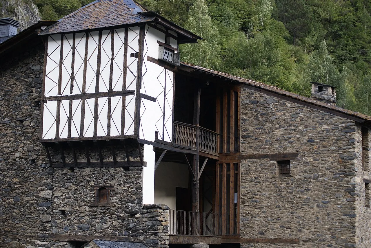
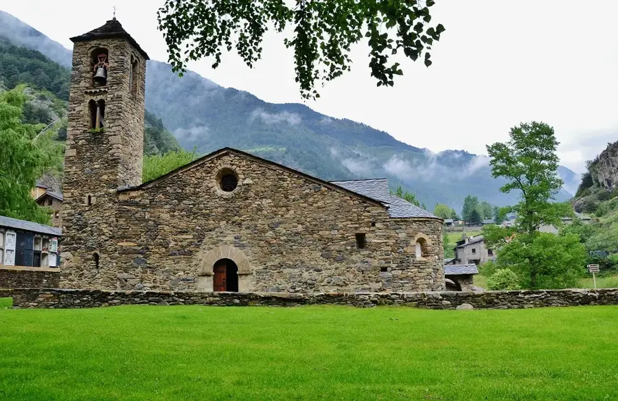
Explore nearby
Notable places around
Route planner — Car & Motorhome
Where do you start? We build the route here, with stops and country notes along the way.
© OpenStreetMap contributors · OpenRouteService
Sights in the town Serra de l'Estanyo (4)
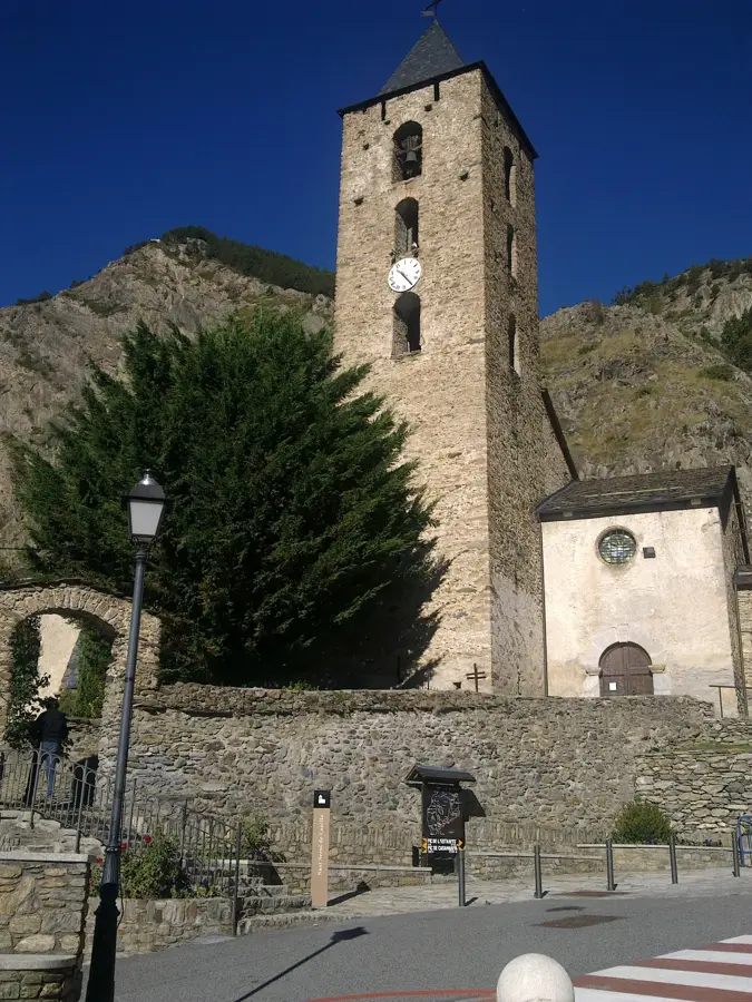
roc del Rellotge
Mountain in Andorra, a rock formation in the Pyrenean landscape.
Sights nearby
Frequently asked questions
What is the highest point of this range?
Where is Serra de l'Estanyo located?
Are there lakes there?
Is the hike difficult?
Can you hear marmots there?
Serra de l'Estanyo: where is it located?
Serra de l'Estanyo: what is there to see?
Serra de l'Estanyo: when is the best time to visit?
Serra de l'Estanyo: why is it worth visiting?

Nature
More places