Plizio Visual Lab
Pic de la Canal de Riba
Weather…
Water temperature…
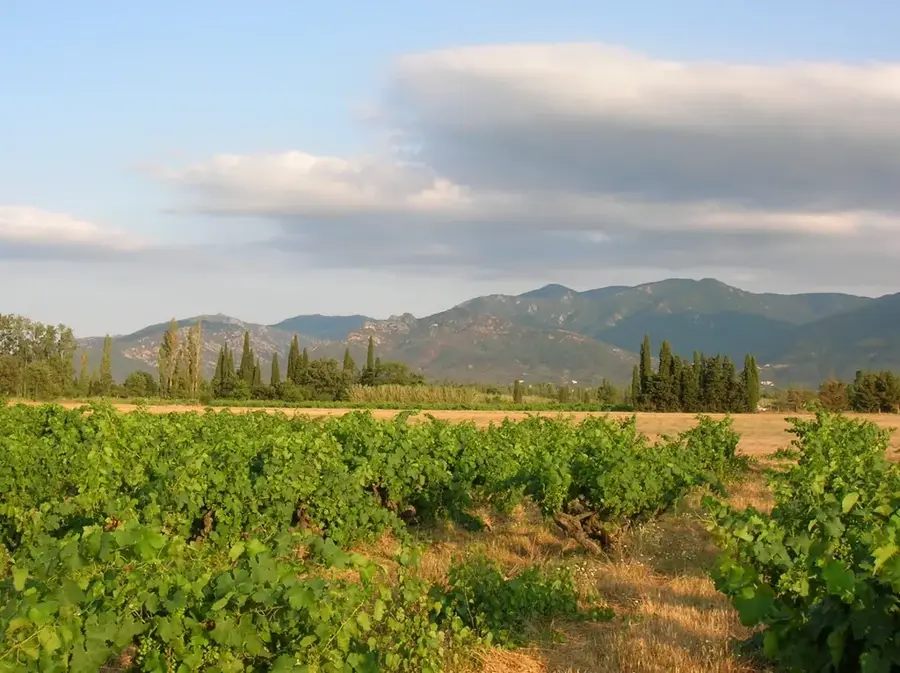
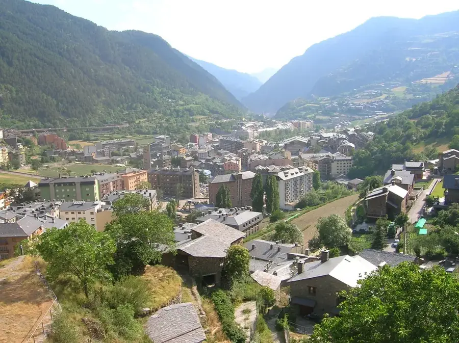
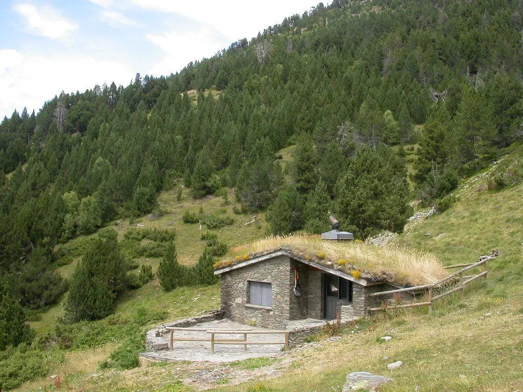
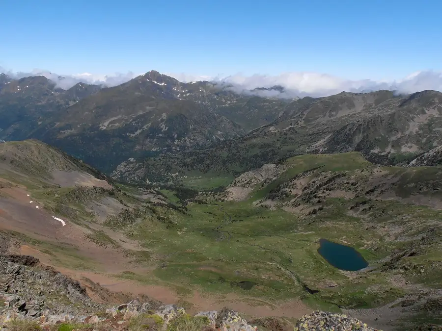
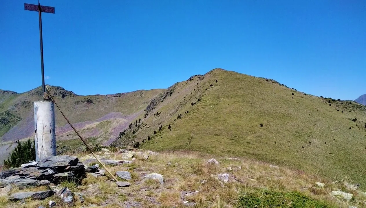
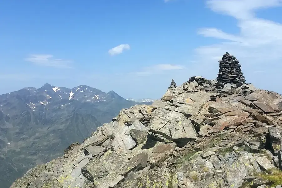
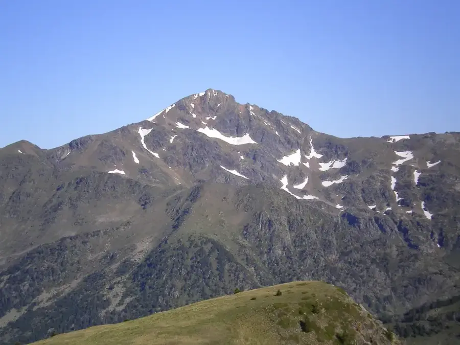
The Pic de la Canal de Riba is an impressive peak in western Andorra, rising to an elevation of approximately 2,581 meters. It belongs to the Arinsal massif and is located within the parish of La Massana. The name is derived from the steep couloirs (canals) that score its flanks, which are popular destinations for expert ski tourers in winter. The geology is characterized by hard slate and granite, giving the mountain its rugged appearance. The area is part of a vital watershed feeding numerous streams that eventually flow into the Valira River. During the summer months, the summit is a valued destination for hikers, offering panoramic views of Comapedrosa, Andorra's highest mountain. Ecologically, the zone is important as a habitat for the Pyrenean chamois and various species of birds of prey.
- Location: Andorra
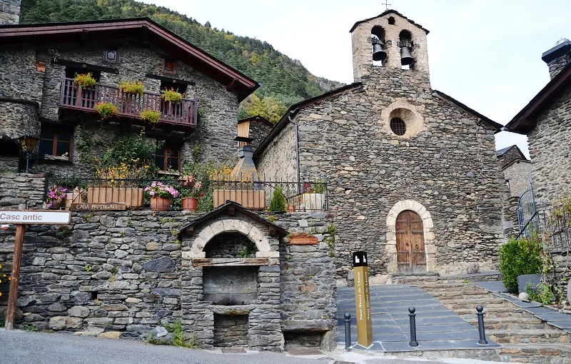
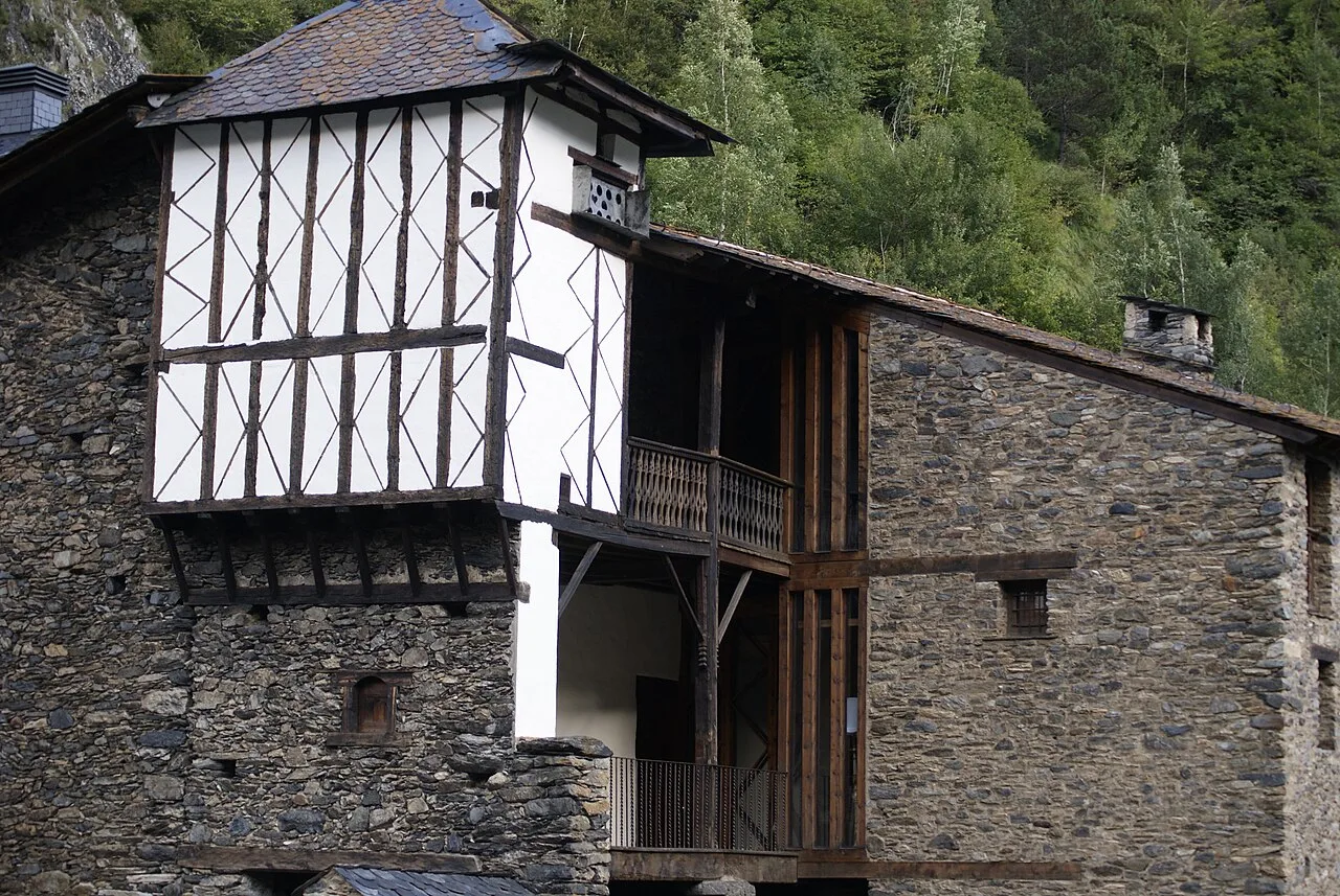
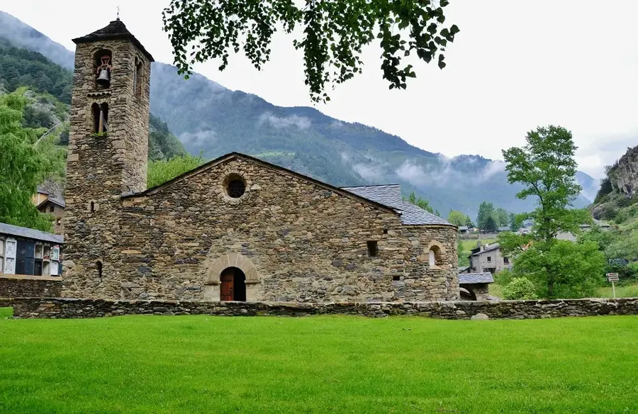
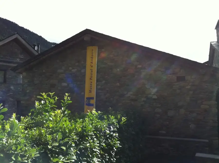
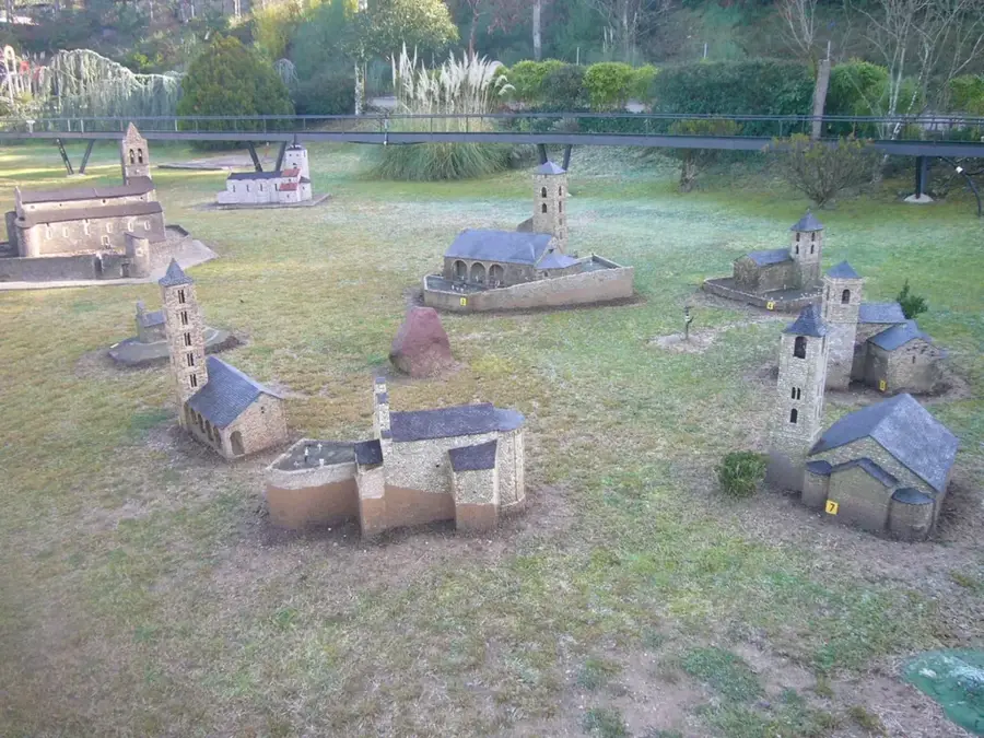
- Top sights: Mina de Llorts · Sant Pere del Serrat
- Nearby: Segudet (4 km)
Best time to visit & climate
The most pleasant time to visit is Jun–Aug.
| Jan | Feb | Mar | Apr | May | Jun | Jul | Aug | Sep | Oct | Nov | Dec | |
|---|---|---|---|---|---|---|---|---|---|---|---|---|
| Avg °C | -2 | -2 | 1 | 5 | 9 | 14 | 16 | 16 | 12 | 8 | 2 | -1 |
| Rain mm | 60 | 48 | 57 | 71 | 77 | 52 | 46 | 47 | 50 | 64 | 70 | 49 |
📋 Practical info
Geography
Facts
- The peak's maximum elevation is 2,581 meters.
- The mountain is located in the administrative district of La Massana.
- The steep couloirs on the south side are prone to avalanches in winter.
- Geologically, the mountain is part of the axial zone of the Pyrenees.
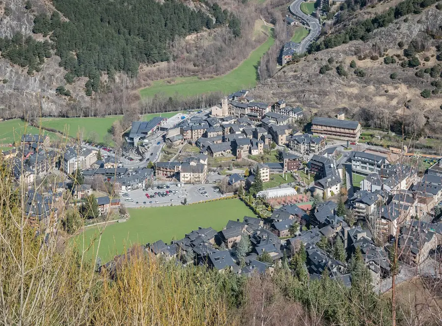
- The Vallnord-Arinsal ski resort is located nearby.
- The first ascents of the couloirs are attributed to local shepherds.
Explore nearby
Notable places around
Route planner — Car & Motorhome
Where do you start? We build the route here, with stops and country notes along the way.
© OpenStreetMap contributors · OpenRouteService
Sights in the town Pic de la Canal de Riba (2)
Sights nearby
Frequently asked questions
Where is this peak located?
What does 'Canal' mean in the name?
Is the hike there long?
What is the altitude of the peak?
Is making a fire allowed there?
Pic de la Canal de Riba: where is it located?
Pic de la Canal de Riba: what is there to see?
Pic de la Canal de Riba: when is the best time to visit?
Pic de la Canal de Riba: why is it worth visiting?

Nature
More places