Plizio Visual Lab
Pic de Bastenies
Weather…
Water temperature…
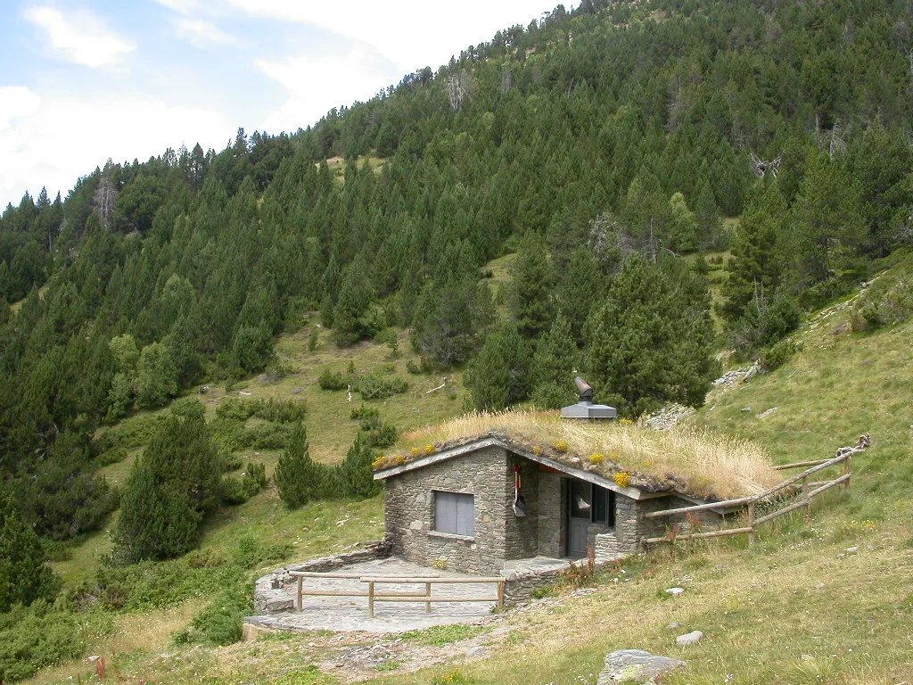
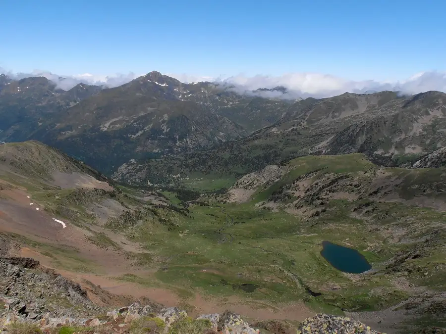
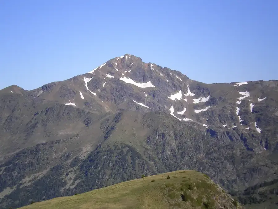
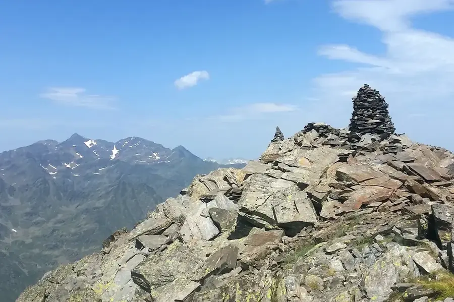
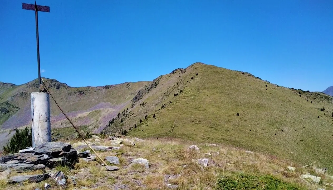
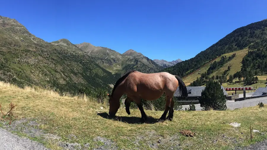
Pic de Bastenies is a prominent mountain peak in the Andorran Pyrenees, standing at an official elevation of 2,726 meters above sea level. It is located in the northwestern part of the Principality of Andorra, within the parish of Ordino, and sits in close proximity to the scenic Angonella lakes. Geologically, the peak is primarily composed of metamorphic rocks such as slate and schist, which are characteristic of the axial zone of the Pyrenees. The ascent to the summit provides expansive views of the surrounding Valira del Nord valley and the neighboring high-altitude peaks. The surrounding environment consists of alpine meadows and scree slopes, providing a habitat for the Pyrenean chamois and various species of birds of prey. The area is part of a network of hiking trails that are highly valued by mountaineers and nature enthusiasts alike. Pic de Bastenies plays a significant role in the local high-mountain ecosystem and contributes to the natural diversity of the country.
- Location: Andorra
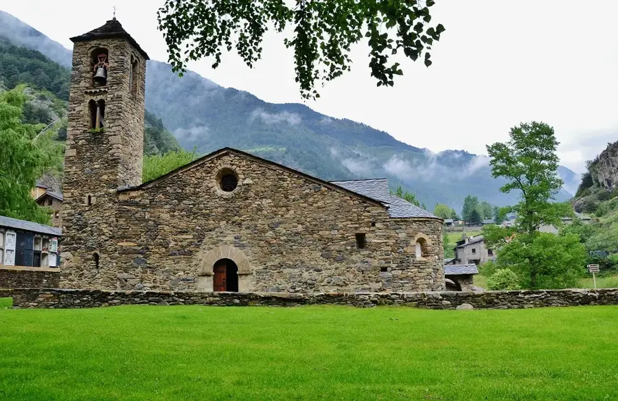
- Top sights: Sant Pere del Serrat · Grau de la Llosa · Mina de Llorts
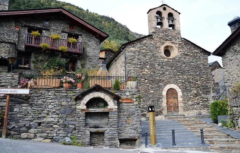
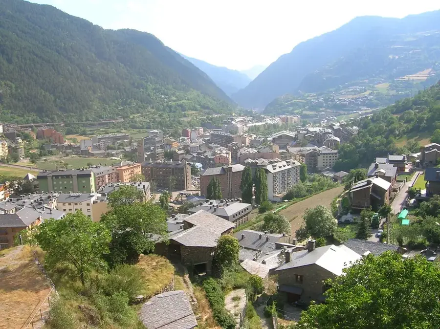
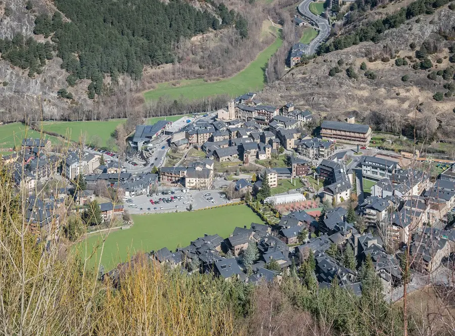
- Nearby: La Cortinada (5 km)
Best time to visit & climate
The most pleasant time to visit is Jun–Aug.
| Jan | Feb | Mar | Apr | May | Jun | Jul | Aug | Sep | Oct | Nov | Dec | |
|---|---|---|---|---|---|---|---|---|---|---|---|---|
| Avg °C | -2 | -2 | 1 | 5 | 9 | 14 | 16 | 16 | 12 | 8 | 2 | -1 |
| Rain mm | 60 | 48 | 57 | 71 | 77 | 52 | 46 | 47 | 50 | 64 | 70 | 49 |
📋 Practical info
Geography
Facts
- Elevation of 2,726 meters
- Located in Ordino parish
- Near the Angonella lakes
- Composed of metamorphic slate
- Habitat for Pyrenean chamois
- Part of the axial Pyrenees
Explore nearby
Notable places around
Route planner — Car & Motorhome
Where do you start? We build the route here, with stops and country notes along the way.
© OpenStreetMap contributors · OpenRouteService
Sights in the town Pic de Bastenies (5)
Parc Natural de la Vall de Sorteny
Natural park in Andorra, protected valley with botanical garden.
Sights nearby
Frequently asked questions
Where is Pic de Bastenies located?
How high is this mountain?
Is the ascent difficult?
What is the best starting point?
Can the summit be visited in winter?
Pic de Bastenies: where is it located?
Pic de Bastenies: what is there to see?
Pic de Bastenies: when is the best time to visit?
Pic de Bastenies: why is it worth visiting?

Nature
More places