Plizio Visual Lab
Iron Route Mine Site
The Llorts Iron Mine (Mina de Llorts) is a significant historical site that showcases Andorra's rich industrial past as part of the wider 'Ruta del Ferro' (Iron Route). Iron production was a major economic driver for the principality between the 17th and 19th centuries, providing income for rural communities before the rise of tourism. At the Llorts site, visitors can enter a 30-meter-deep gallery to see where miners manually extracted iron ore under challenging conditions. The mine is part of a cultural walking trail that connects various industrial landmarks, including charcoal kilns and traditional forges (fargas). As a member of the 'Iron Route in the Pyrenees' cultural heritage project, the mine serves as an educational center reflecting the transition from an agrarian society to one utilizing its natural mineral resources. It remains a key example of how geology and history intertwine in the parish of Ordino.
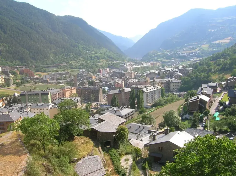
- Location: Andorra
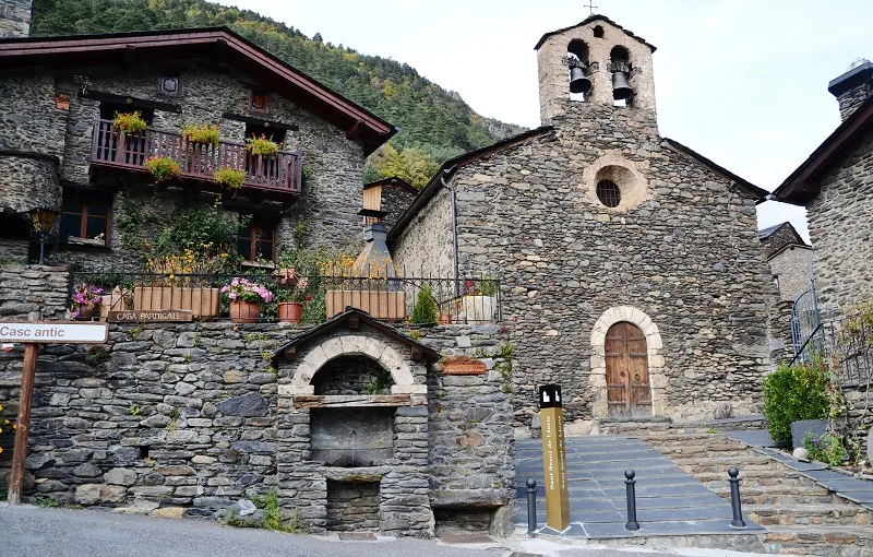
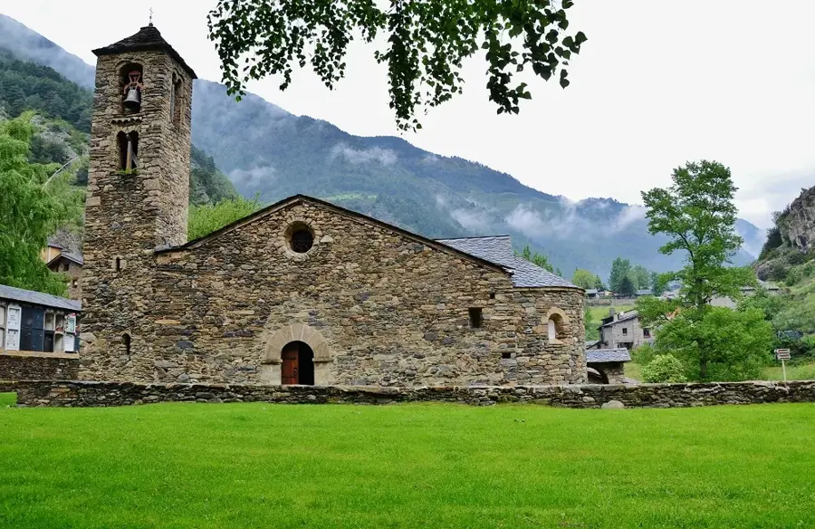
- Top sights: Mina de Llorts · Sant Pere del Serrat · Església de Sant Martí de la Cortinada
- Nearby: Sorteny Valley (4 km)
Best time to visit & climate
The most pleasant time to visit is Jun–Aug.
| Jan | Feb | Mar | Apr | May | Jun | Jul | Aug | Sep | Oct | Nov | Dec | |
|---|---|---|---|---|---|---|---|---|---|---|---|---|
| Avg °C | -2 | -2 | 1 | 5 | 9 | 14 | 16 | 16 | 12 | 8 | 2 | -1 |
| Rain mm | 60 | 48 | 57 | 71 | 77 | 52 | 46 | 47 | 50 | 64 | 70 | 49 |
📋 Practical info
Geography
Facts
- Mainly operational during the 19th century
- Key stop on the national Iron Route (Ruta del Ferro)
- Features a 30-meter-long accessible mining gallery
- Located in the village of Llorts in the Ordino parish
- Iron was Andorra's primary export until the late 1800s
- Part of the UNESCO-linked Iron Route of the Pyrenees
Explore nearby
Notable places around
Route planner — Car & Motorhome
Where do you start? We build the route here, with stops and country notes along the way.
© OpenStreetMap contributors · OpenRouteService
Sights in the town Iron Route Mine Site (6)
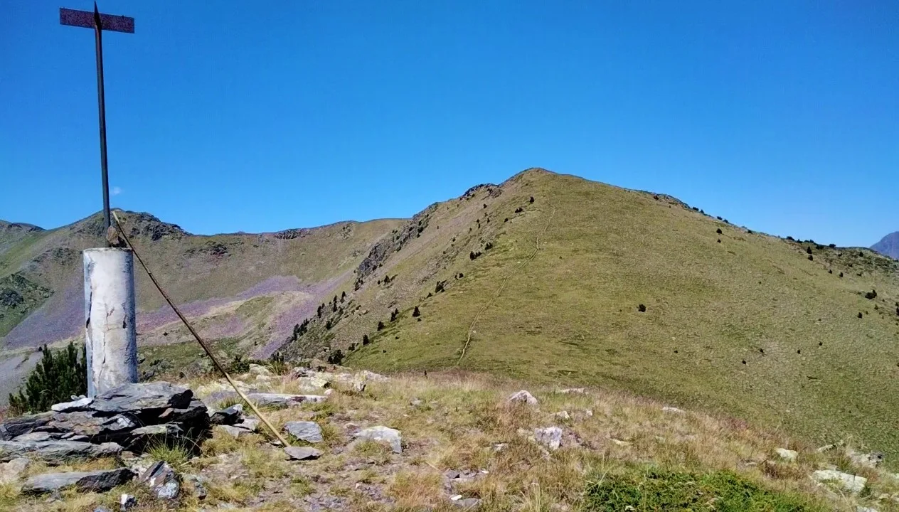
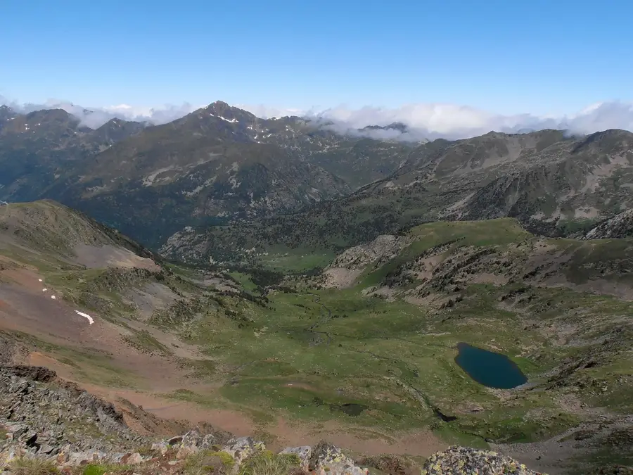
Pic de Percanela
Mountain in Andorra, a peak in the Pyrenees.
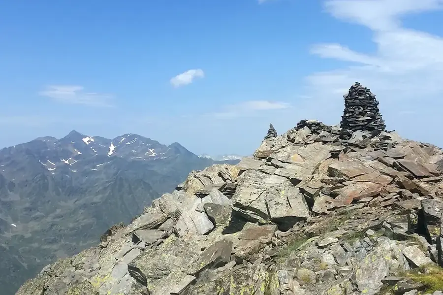
Pic de l'Hortell
Mountain in Andorra, a peak in the Pyrenees.
Sights nearby
Frequently asked questions
What is the Iron Route Mine?
When do guided tours take place?
Is the mine suitable for people with claustrophobia?
What should you wear for the visit?
Is there parking nearby?
Iron Route Mine Site: where is it located?
Iron Route Mine Site: what is there to see?
Iron Route Mine Site: when is the best time to visit?
Iron Route Mine Site: why is it worth visiting?

Nature
More places