Plizio Visual Lab
Buzi Basin
Weather…
Water temperature…
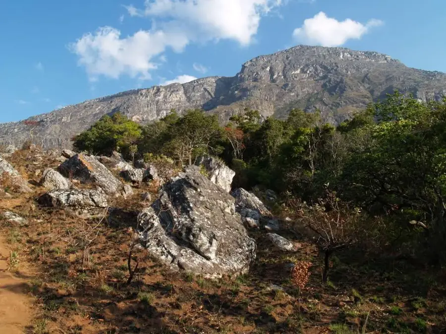
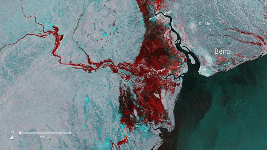
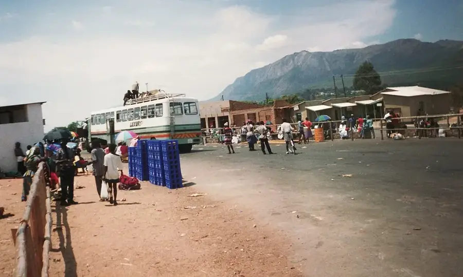
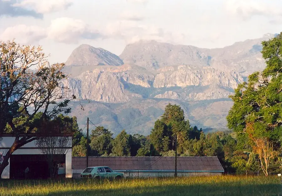
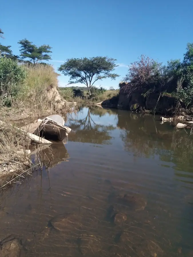
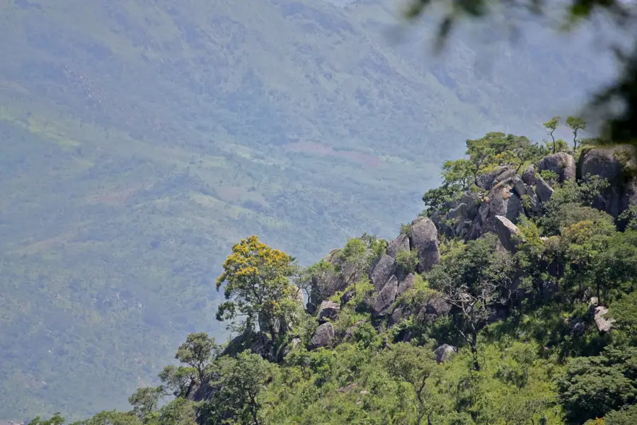
The Buzi Basin stretches across the southern part of the Eastern Highlands and reaches across the border into Mozambique, where the Buzi River eventually flows into the Indian Ocean. In Zimbabwe, this region is strongly characterized by the mountainous relief and a humid tropical climate. The landscape is a mix of lush mountain rainforests on the slopes and broad agricultural areas in the valleys. Due to the abundant rainfall, the basin is one of the greenest and most fertile areas of the country, handy for growing macadamia nuts, tea, and coffee, which forms the economic backbone of the local population. The difficult-to-access, steep gorges of the basin harbor a remarkable biodiversity with endemic plants and birds. The Buzi Basin has remained away from the major traffic routes, giving it a quiet, undisturbed atmosphere and attracting nature lovers seeking the untouched, deep-green African mountain world.
- Location: Zimbabwe
- Nearby: Chimanimani (24 km)
Best time to visit & climate
The most pleasant time to visit is May, Aug, Sep.
| Jan | Feb | Mar | Apr | May | Jun | Jul | Aug | Sep | Oct | Nov | Dec | |
|---|---|---|---|---|---|---|---|---|---|---|---|---|
| Avg °C | 24 | 24 | 23 | 21 | 19 | 17 | 17 | 19 | 22 | 24 | 25 | 25 |
| Rain mm | 235 | 220 | 214 | 113 | 39 | 37 | 44 | 10 | 26 | 54 | 121 | 270 |
📋 Practical info
Geography
Explore nearby
Notable places around
Route planner — Car & Motorhome
Where do you start? We build the route here, with stops and country notes along the way.
© OpenStreetMap contributors · OpenRouteService
Sights in the town Buzi Basin (1)
Sights nearby
Frequently asked questions
What is Buzi-Becken?
What is there to see?
What is the travel there like?
Is there infrastructure there?
Is the region safe?
Buzi Basin: where is it located?
Buzi Basin: when is the best time to visit?
Buzi Basin: why is it worth visiting?

Nearby cities
History & landmarks

Nature
More places