Plizio Visual Lab
Rusape
ℹ️Practical info — Rusape
▾
🌤 Weather — 5 days
📍 Nearby
Sights nearby
💡 Tips
- Visit the central market early in the morning for the freshest agricultural produce in the region.
- Use Rusape as a strategic stopover or base when traveling to the Eastern Highlands or Nyanga.
- Carry small-denomination US dollar bills for transactions at local stalls and markets.
- The town center is compact and easily explored on foot, especially the main street shops.
- Look for roadside vendors on the highway selling seasonal fruits directly from local farms.
🍽 Food
A well-known spot for authentic local cuisine, especially famous for its hearty beef stew.
Try the staple maize meal served with grilled meat at the small roadside eateries.
A popular snack freshly grilled over open flames at market stalls.
🛍 Shopping · 🧘 Quiet spots
An animated place for spices, local textiles, and daily essentials.
Found along the main road, offering handmade wood carvings and pottery.
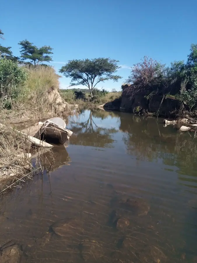
A peaceful spot for birdwatching and fishing, located just outside the town.
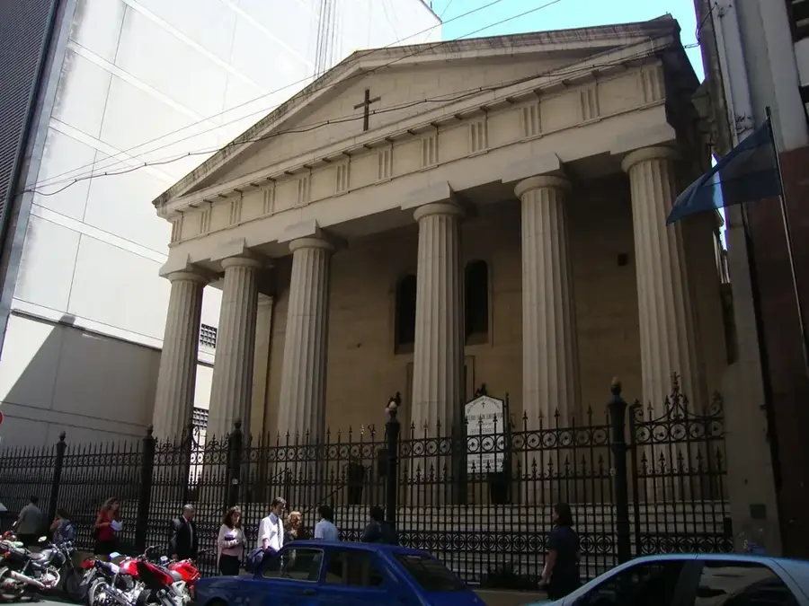
A historic and calm architectural landmark in the town center.
Water temperature…
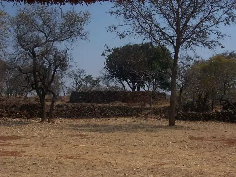
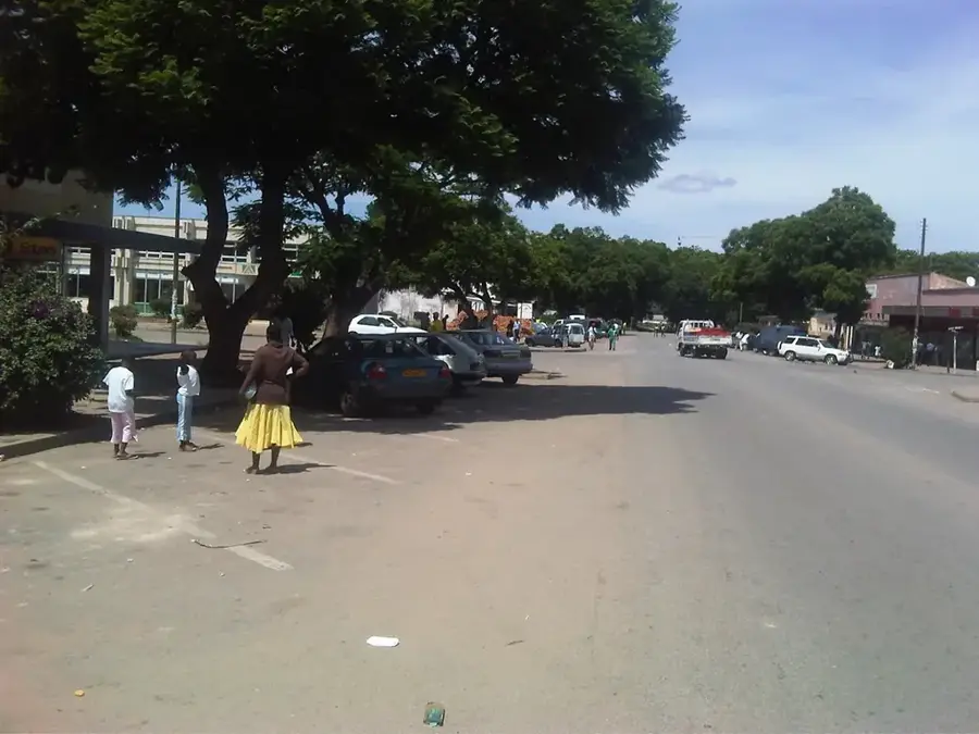
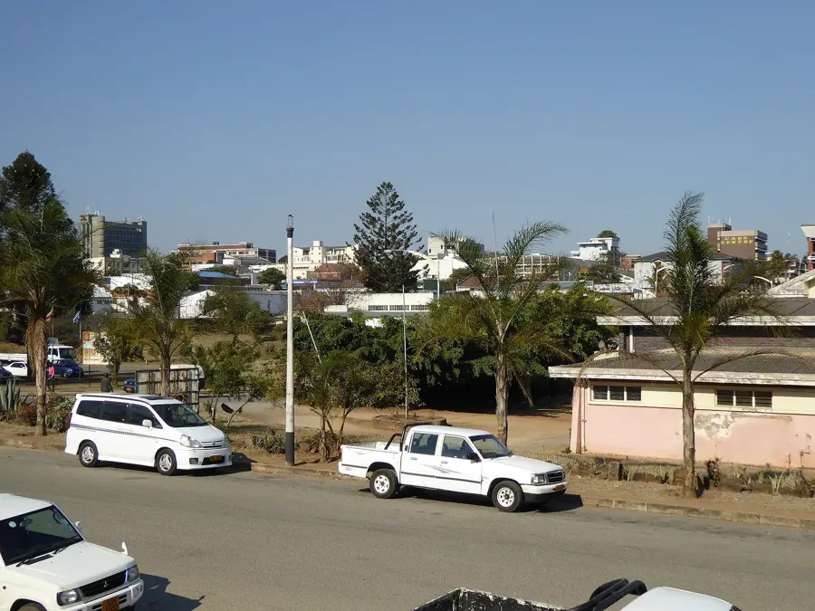
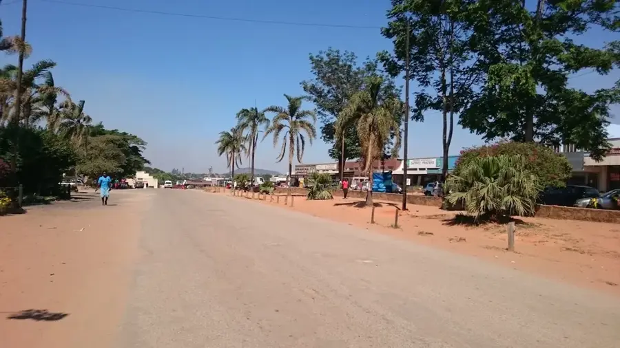
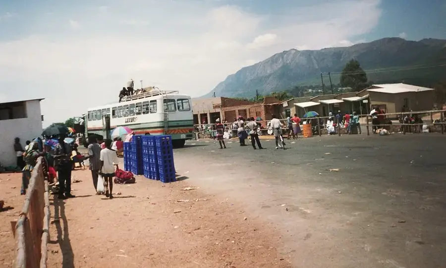
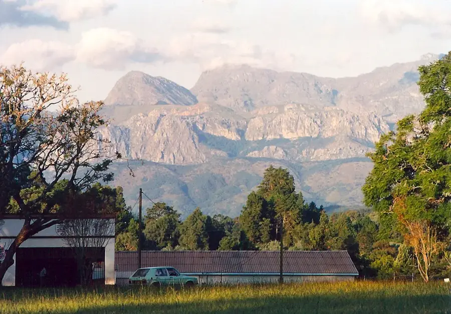
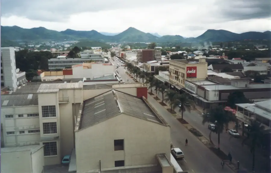
Rusape is a prominent agricultural and commercial hub in the Manicaland Province of Zimbabwe, strategically positioned on the main highway and railway line connecting Harare with Mutare. Established in 1894 as a settlement for traders and railway workers, it has grown into the administrative capital of the Makoni District. The town's prosperity is driven by the surrounding highly productive farmland, which is famous for producing high-quality tobacco, maize, and wheat. Rusape acts as a critical transit point, where goods are consolidated for export or domestic distribution, supported by its strategic rail link. For travelers, it serves as a vital midway stop offering essential amenities, fuel, and bustling local markets that showcase the region's agricultural wealth. Beyond its commercial role, the outskirts of Rusape are home to ancient San rock art sites, indicating that the area has been a focal point of human activity for millennia. Its blend of historic colonial architecture and modern trading bustle makes it a key urban center in eastern Zimbabwe.
- Location: Zimbabwe
- Nearby: Headlands (25 km)
- Population: ~37.906 (2024)
Best time to visit & climate
The most pleasant time to visit is Aug–Oct.
| Jan | Feb | Mar | Apr | May | Jun | Jul | Aug | Sep | Oct | Nov | Dec | |
|---|---|---|---|---|---|---|---|---|---|---|---|---|
| Avg °C | 21 | 21 | 20 | 18 | 16 | 14 | 13 | 16 | 20 | 22 | 23 | 22 |
| Rain mm | 164 | 125 | 100 | 42 | 9 | 6 | 12 | 2 | 8 | 29 | 98 | 202 |
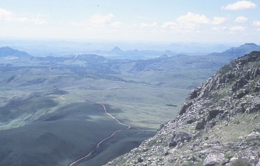
Geography
Facts
- Rusape has a population of about 30,000 (2012).
- The town is at an elevation of 1,200 m.
- Annual rainfall is 800-1000 mm.
- The Rusape River is 120 km long.
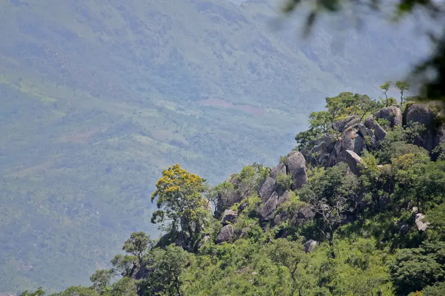
- Bvumba Mountains reach heights of up to 1,800 m.
- The region produces 20,000 tonnes of maize annually.
Explore nearby
Notable places around
Route planner — Car & Motorhome
Where do you start? We build the route here, with stops and country notes along the way.
© OpenStreetMap contributors · OpenRouteService
Frequently asked questions
What kind of town is Rusape?
Can you stay overnight there?
What is in the surroundings?
Is a stop worthwhile?
Are there restaurants there?
Rusape: where is it located?
Rusape: when is the best time to visit?
Rusape: why is it worth visiting?

Nearby cities
History & landmarks
Nature
More places