Plizio Visual Lab
Chipinge
ℹ️Practical info — Chipinge
▾
🌤 Weather — 5 days
📍 Nearby
Sights nearby
💡 Tips
- The weather can be cooler and mistier than other parts of Zimbabwe, so pack warm layers.
- A 4x4 vehicle is highly recommended if you plan to explore the surrounding rural estates.
- Taking a guided tour of a local tea or coffee plantation is a must-do experience.
- The local roads can be winding and steep; drive carefully, especially in the early morning fog.
🍽 Food
Enjoy the freshest cups directly at estate cafes or small town coffee shops.
The staple maize meal served with leafy green vegetables, found in any local diner.
Freshly harvested and roasted macadamias are a local specialty sold around town.
🛍 Shopping · 🧘 Quiet spots
Buy export-quality tea, coffee, and nuts straight from the producers.
A lively spot to pick up fresh produce and interact with the local community.
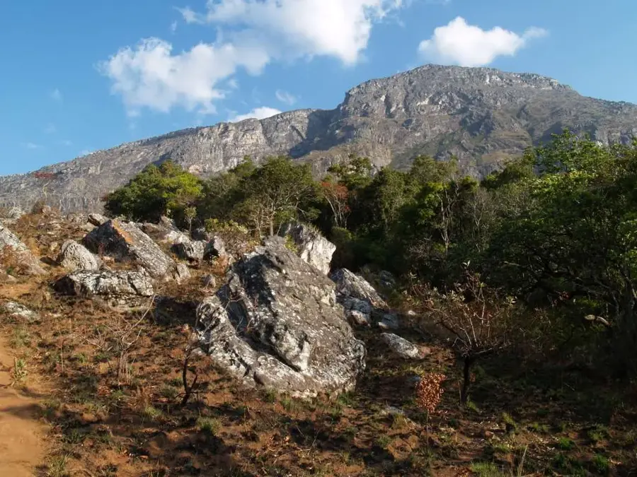
A memorable patch of indigenous ancient forest just outside town; look out for the Big Tree.
Drive up to the higher elevations of the estates for sweeping, peaceful views over the green hills.
Water temperature…
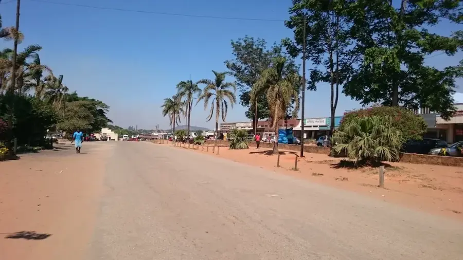
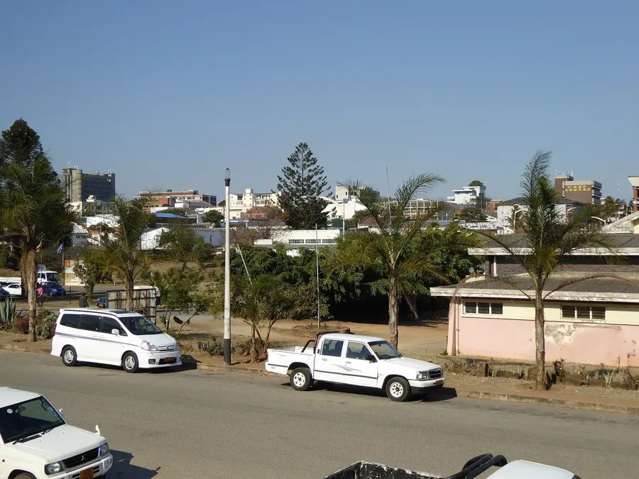
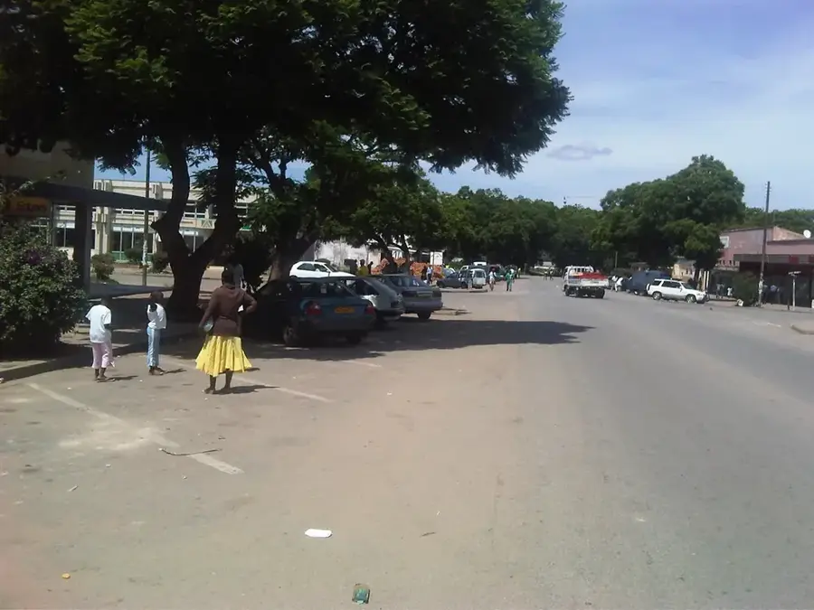
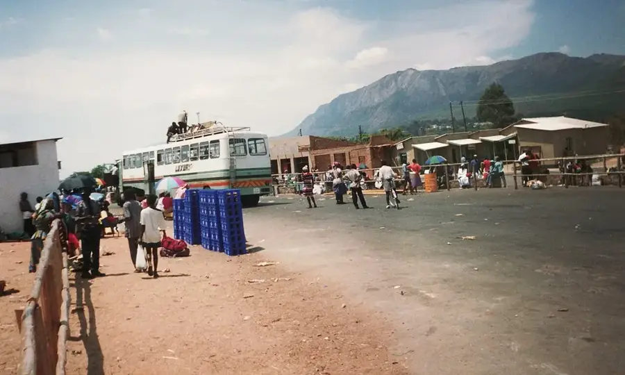
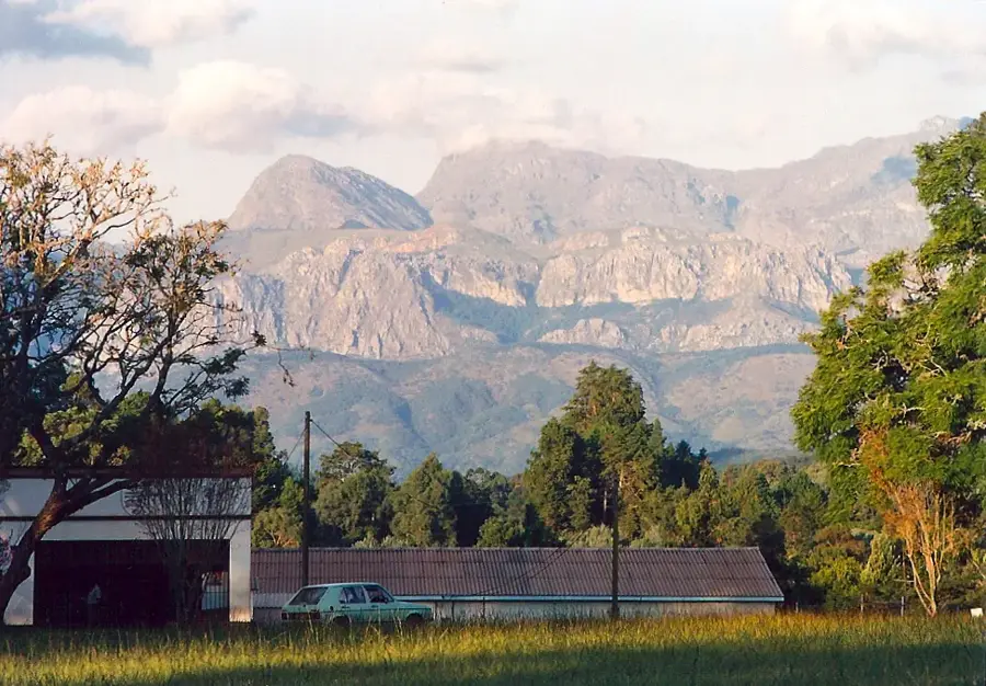
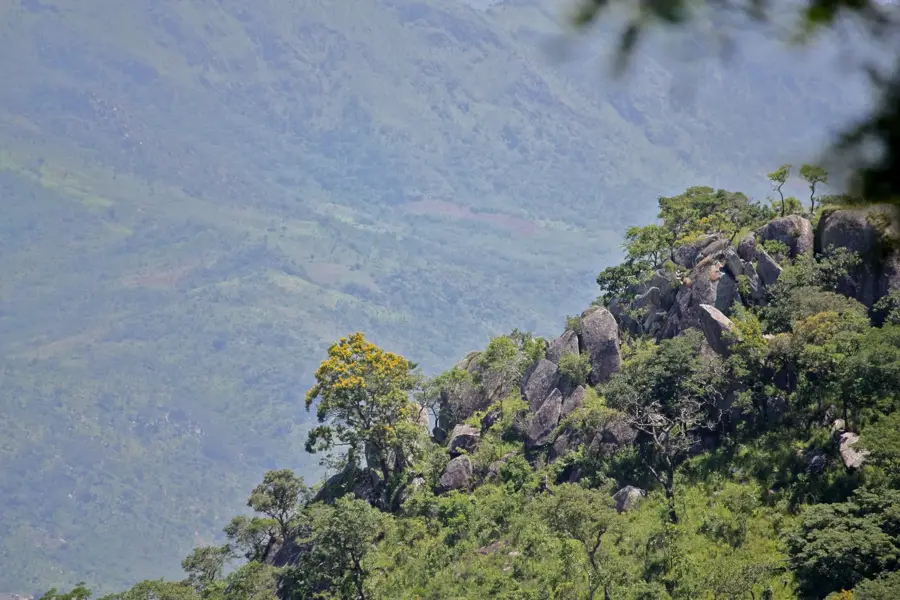
Chipinge is located in the fertile southeastern Highlands of Manicaland Province, near the border with Mozambique, at an elevation of roughly 1,100 meters. The town is the centerpiece of a region defined by high rainfall and lush vegetation, making it Zimbabwe's premier area for tea and coffee production. Vast estates, including the well-known Tanganda tea plantations, drape over the rolling hills, creating a distinctive verdant landscape. In addition to beverages, Chipinge is a major producer of macadamia nuts and avocados, thriving in the rich red volcanic soils. Nearby, the Chirinda Forest Reserve provides a rare glimpse into Africa's southernmost sub-tropical rainforest, home to the 'Big Tree', a massive red mahogany estimated to be over 1,000 years old. The town's cool, mist-prone climate provides a refreshing escape from the heat of the lower veld. As a vital agricultural hub, Chipinge combines economic importance with natural beauty, serving as a gateway to the rugged landscapes of the Eastern Highlands.
- Location: Zimbabwe
- Nearby: Chimanimani (45 km)
- Population: ~34.959 (2022)
Best time to visit & climate
The most pleasant time to visit is Aug–Oct.
| Jan | Feb | Mar | Apr | May | Jun | Jul | Aug | Sep | Oct | Nov | Dec | |
|---|---|---|---|---|---|---|---|---|---|---|---|---|
| Avg °C | 24 | 23 | 22 | 20 | 17 | 15 | 15 | 18 | 21 | 23 | 24 | 24 |
| Rain mm | 193 | 180 | 170 | 86 | 30 | 27 | 28 | 8 | 22 | 43 | 104 | 219 |
Geography
Facts
- Chipinge has a population of about 25,000 (2012).
- The town is at an elevation of 1,100 m.
- Annual rainfall is 1,200 mm.
- The region produces 5,000 tonnes of tea annually.
- Chimanimani National Park covers 34 km².
- The Chipinge-Beira railway line is 150 km long.
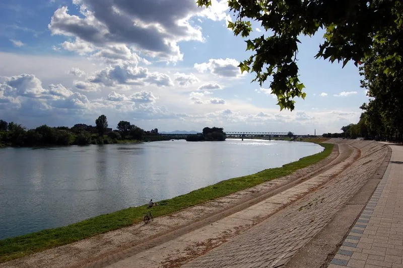
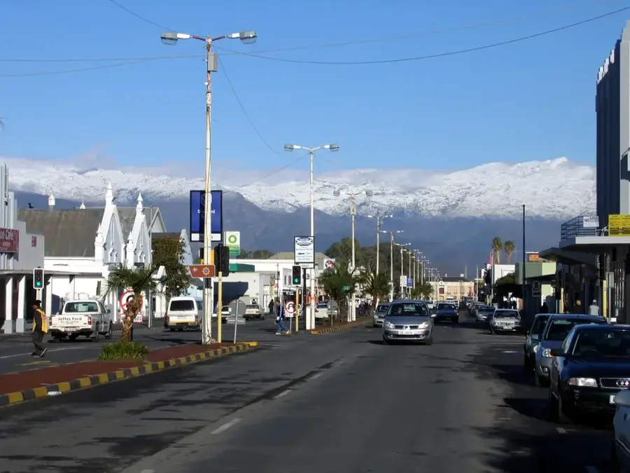
Explore nearby
Notable places around
Route planner — Car & Motorhome
Where do you start? We build the route here, with stops and country notes along the way.
© OpenStreetMap contributors · OpenRouteService
Frequently asked questions
What is special about Chipinge?
How is the climate there?
Can you visit tea plantations?
Is it family-friendly?
How to reach the location?
Chipinge: where is it located?
Chipinge: when is the best time to visit?
Chipinge: why is it worth visiting?

Nearby cities
History & landmarks

Nature
More places