Plizio Visual Lab
Chimanimani
ℹ️Practical info — Chimanimani
▾
🌤 Weather — 5 days
📍 Nearby
Sights nearby
💡 Tips
- The mountain roads are steep and often unpaved; a 4x4 vehicle is highly recommended.
- Weather in the Eastern Highlands is much cooler than the rest of Zimbabwe; pack warm clothing.
- Hire a local guide from the village if you plan to hike into the national park, as trails are not always clearly marked.
- Stock up on supplies and cash in Mutare before arriving, as local shops have limited inventory.
🍽 Food
The staple dish, served at village guesthouses.
Often sold by vendors in the village center.
Sometimes available from mountain streams, prepared at local lodges.
🛍 Shopping · 🧘 Quiet spots
Hand-carved wooden items and traditional Zimbabwean baskets.
Pure mountain honey can often be bought directly from farmers.
A serene and highly accessible waterfall just outside the village.
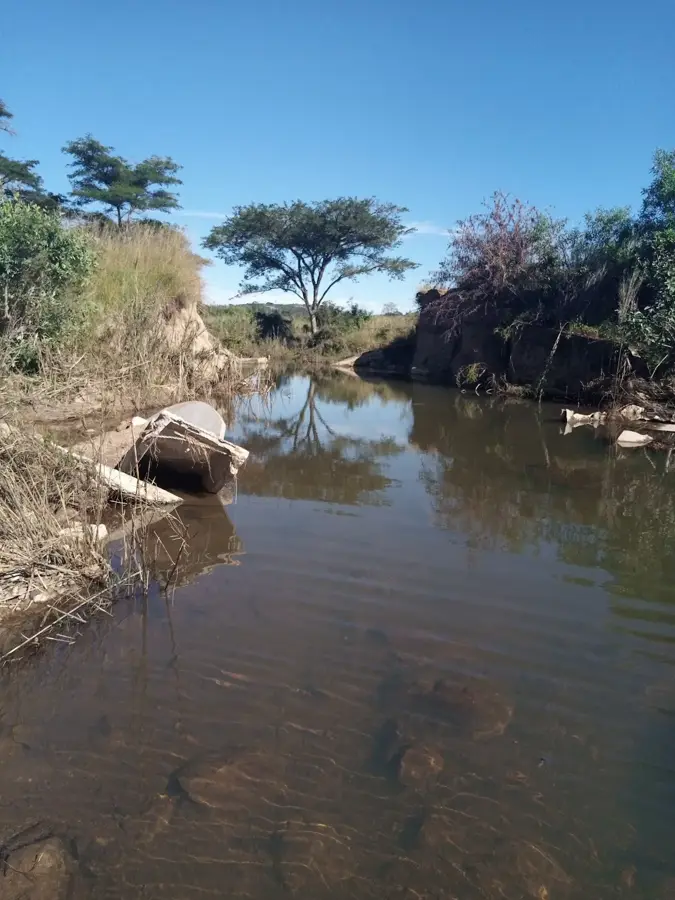
A beautiful, hidden spot well-suited for a quiet picnic and a cold swim.
Water temperature…
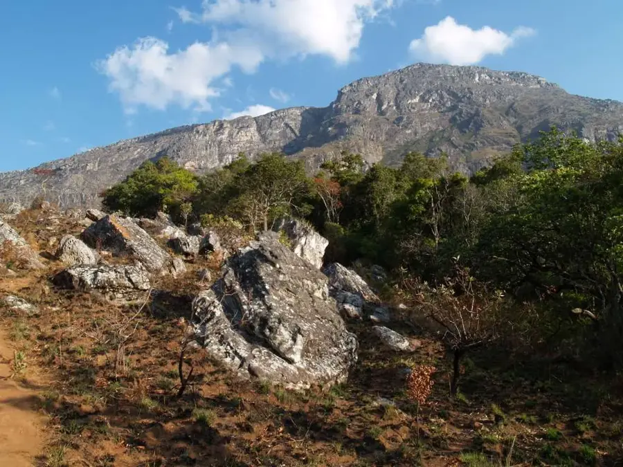
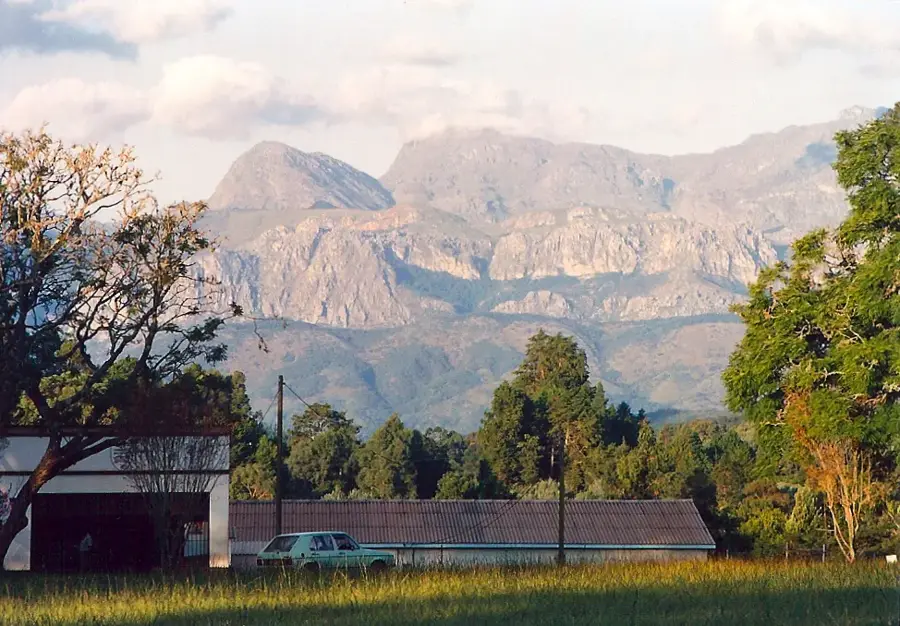
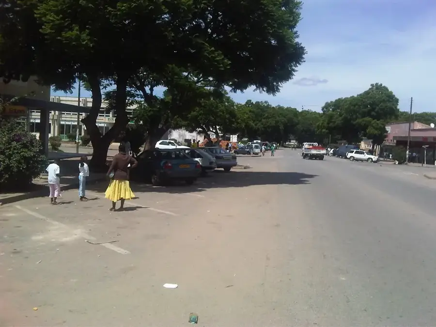
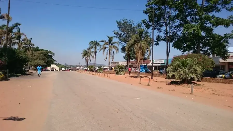
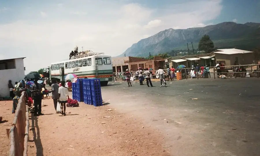
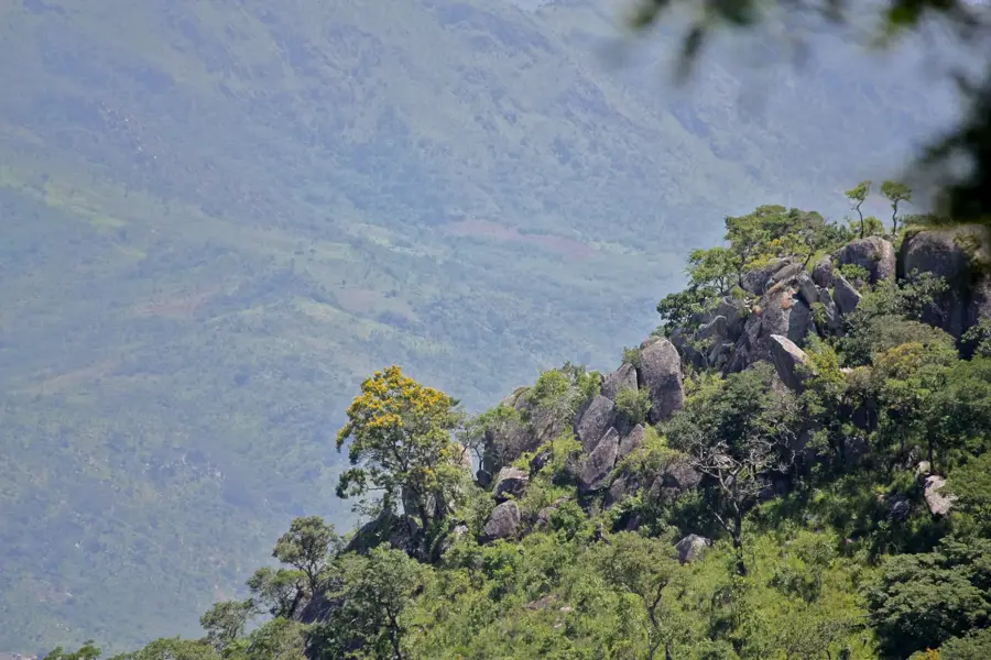
Chimanimani is a pretty mountain town located in the rugged Eastern Highlands of Zimbabwe, near the border with Mozambique. Renowned as a premier destination for hikers and nature enthusiasts, it serves as the essential gateway to the Chimanimani National Park. The area is characterized by dramatic quartzite peaks, deep gorges, and pristine forests that host a unique array of flora, including rare orchids and proteas. A local highlight is the Bridal Veil Falls, a spectacular waterfall located just a short distance from the town center, surrounded by lush greenery. Thanks to its high altitude, Chimanimani enjoys a refreshing and misty climate, offering a pleasant escape from the heat of the lowlands. The town maintains a tranquil, laid-back atmosphere, making it the first-rate retreat for those seeking peace and a deep connection with the sweeping natural beauty of Zimbabwe's highlands.
- Location: Zimbabwe
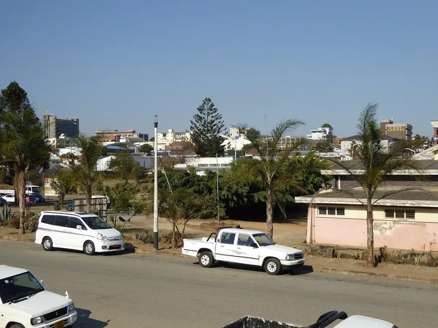
- Nearby: Chipinge (45 km)
- Population: ~2.752 (2013)
Best time to visit & climate
The most pleasant time to visit is May, Aug, Sep.
| Jan | Feb | Mar | Apr | May | Jun | Jul | Aug | Sep | Oct | Nov | Dec | |
|---|---|---|---|---|---|---|---|---|---|---|---|---|
| Avg °C | 24 | 24 | 23 | 21 | 19 | 17 | 17 | 19 | 22 | 24 | 25 | 25 |
| Rain mm | 235 | 220 | 214 | 113 | 39 | 37 | 44 | 10 | 26 | 54 | 121 | 270 |
Geography
Facts
- Highest peak: Mount Binga at 2,436 m
- National park established: 1950
- Area: 1,710 square kilometers
- Annual rainfall: 1,500-2,000 mm
- Population: approximately 15,000 in district
- Tea production: 3,000 tons/year
Explore nearby
Notable places around
Route planner — Car & Motorhome
Where do you start? We build the route here, with stops and country notes along the way.
© OpenStreetMap contributors · OpenRouteService
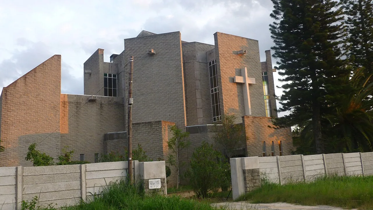
Sights in the town Chimanimani (1)
Frequently asked questions
How long should I stay in Chimanimani?
Which season is ideal for Chimanimani?
What is hiking like in the Chimanimani Mountains?
Is a guide needed in Chimanimani?
What is the weather like in Chimanimani?
Chimanimani: where is it located?
Chimanimani: when is the best time to visit?
Chimanimani: why is it worth visiting?

Nearby cities
History & landmarks

Nature
More places