Plizio Visual Lab
Mount Binga
Weather…
Water temperature…
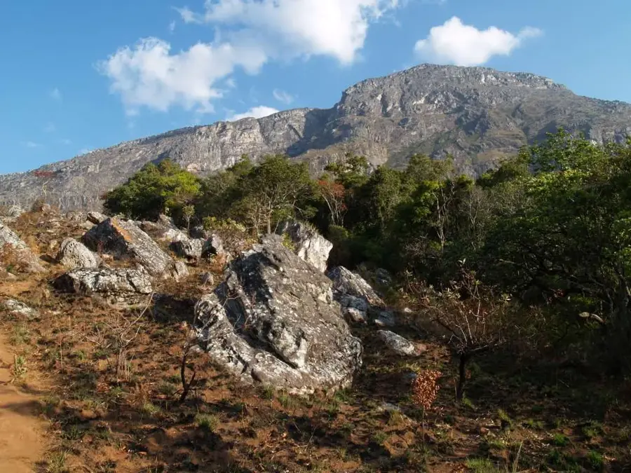
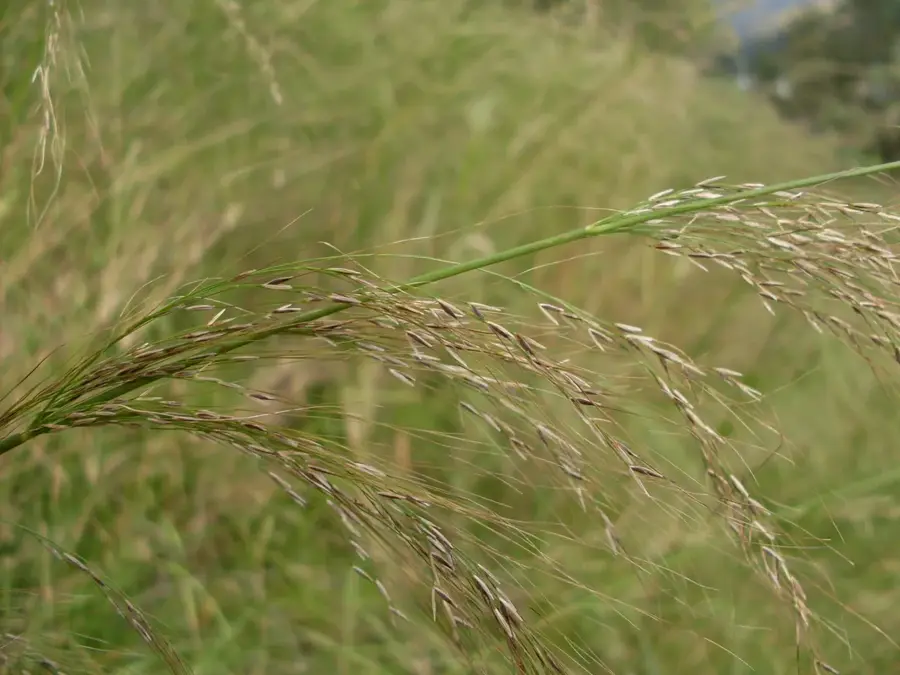
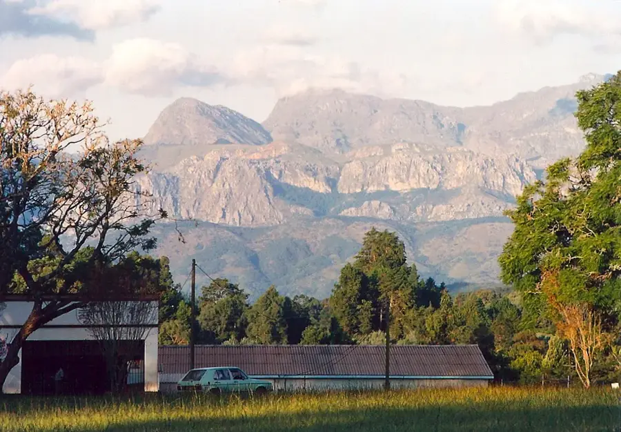
Mount Binga stands as the highest peak in Mozambique, reaching an elevation of 2,436 meters above sea level within the Chimanimani Mountains. Located directly on the border with Zimbabwe, it forms part of the Eastern Highlands of Africa and is primarily composed of ancient Precambrian quartzite formations. The mountain is protected within the Chimanimani National Park, an area renowned for its high levels of endemism, particularly among flora adapted to the rocky, nutrient-poor soils. Historically, the rugged terrain served as a natural barrier and a sanctuary for various local cultures throughout the centuries. For modern visitors, the peak provides a challenging trekking destination with panoramic views extending across the plateaus of Manica Province and into the neighboring Zimbabwean highlands. The ecological significance of Mount Binga is underscored by its role as a vital watershed for the surrounding lowlands and its unique Afro-montane ecosystem.
- Location: Mozambique
- Nearby: Chimanimani Mountains (39 km)
Best time to visit & climate
The most pleasant time to visit is May, Aug, Sep.
| Jan | Feb | Mar | Apr | May | Jun | Jul | Aug | Sep | Oct | Nov | Dec | |
|---|---|---|---|---|---|---|---|---|---|---|---|---|
| Avg °C | 24 | 24 | 23 | 21 | 19 | 17 | 17 | 19 | 22 | 24 | 25 | 25 |
| Rain mm | 235 | 220 | 214 | 113 | 39 | 37 | 44 | 10 | 26 | 54 | 121 | 270 |
📋 Practical info
Geography
Facts
- Highest elevation in Mozambique at 2,436 meters.
- Located on the border between Mozambique and Zimbabwe.
- Part of the ancient Chimanimani mountain range.
- Situated within the Chimanimani National Park.
- Known for its unique Afro-montane plant species.
- Composed primarily of resistant Precambrian quartzites.
Explore nearby
Notable places around
Route planner — Car & Motorhome
Where do you start? We build the route here, with stops and country notes along the way.
© OpenStreetMap contributors · OpenRouteService
Sights nearby
Frequently asked questions
What is the best time for a Mount Binga expedition?
Is climbing equipment needed for the summit?
What is the infrastructure like on the mountain?
Is the mountain suitable for families?
Are there water sources on the way?
Mount Binga: where is it located?
Mount Binga: when is the best time to visit?
Mount Binga: why is it worth visiting?

Nearby cities
History & landmarks
More places