Plizio Visual Lab
Save Plains

Weather…
Water temperature…
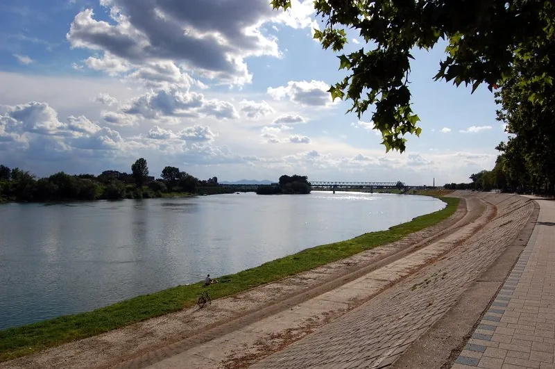
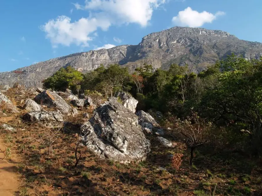
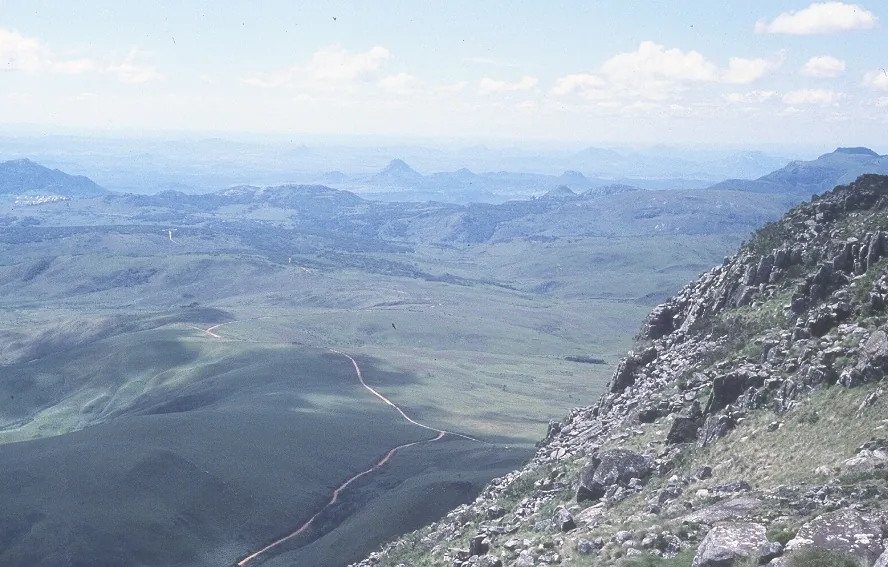
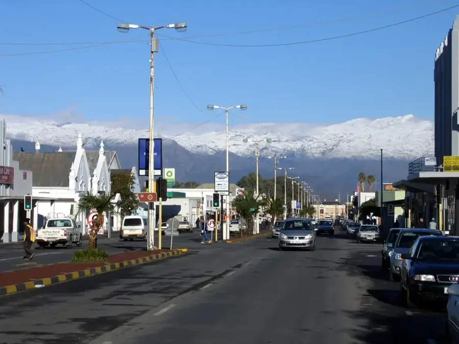
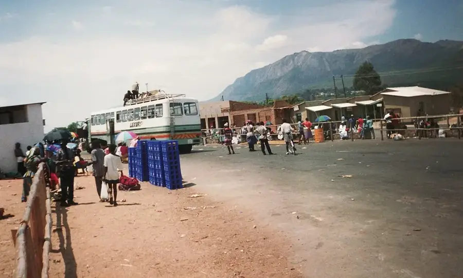
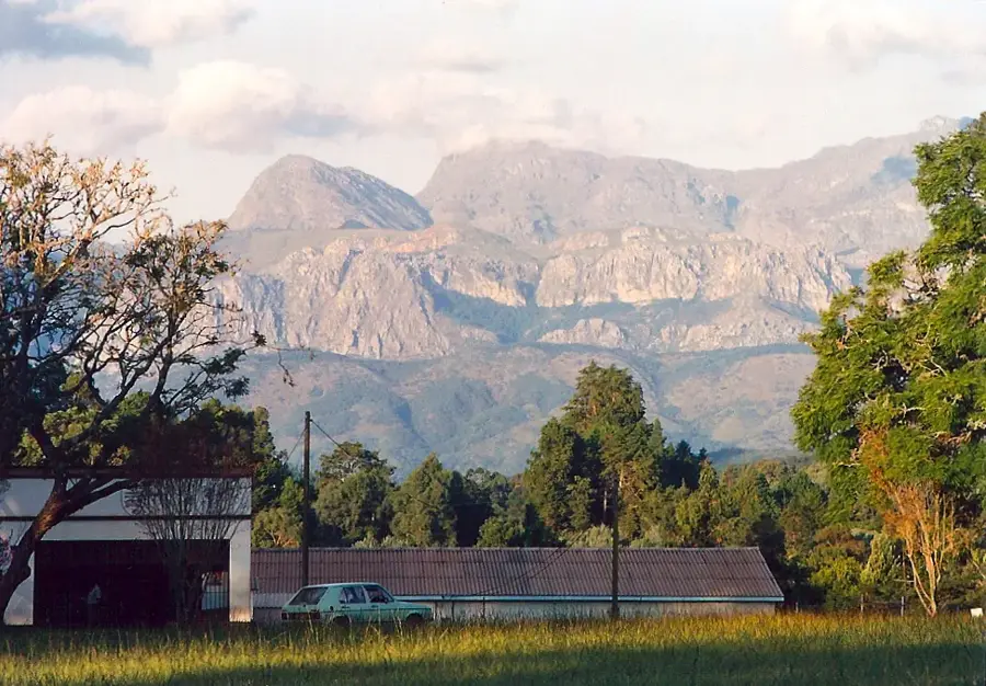
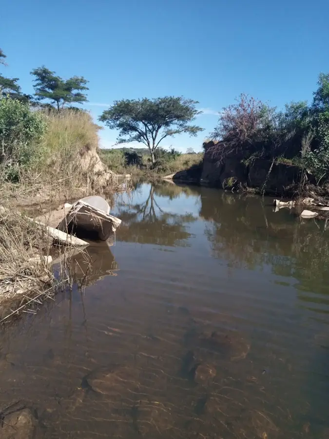
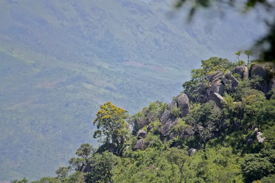
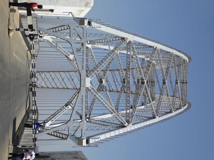
The Save Plains stretch across large parts of southeastern Zimbabwe, along the mighty Save River, which forms the lifeline of this otherwise arid region. These broad, flat landscapes are characterized by a classic Lowveld climate with high temperatures and low, often unreliable rainfall. Despite the dryness, the Save River has left behind fertile alluvial soils through centuries of flooding, which are now used intensively for agriculture through complex irrigation systems. The plains are characterized by seemingly endless fields where cotton, wheat, and sugarcane are grown in large quantities. In addition to agricultural land, there are also extensive areas of dry bush savanna and impressive baobab forests. The Save Plains are also home to the famous Birchenough Bridge, an architectural masterpiece from the 1930s that spans the wide sandy river with an elegant steel arch structure.
- Location: Zimbabwe
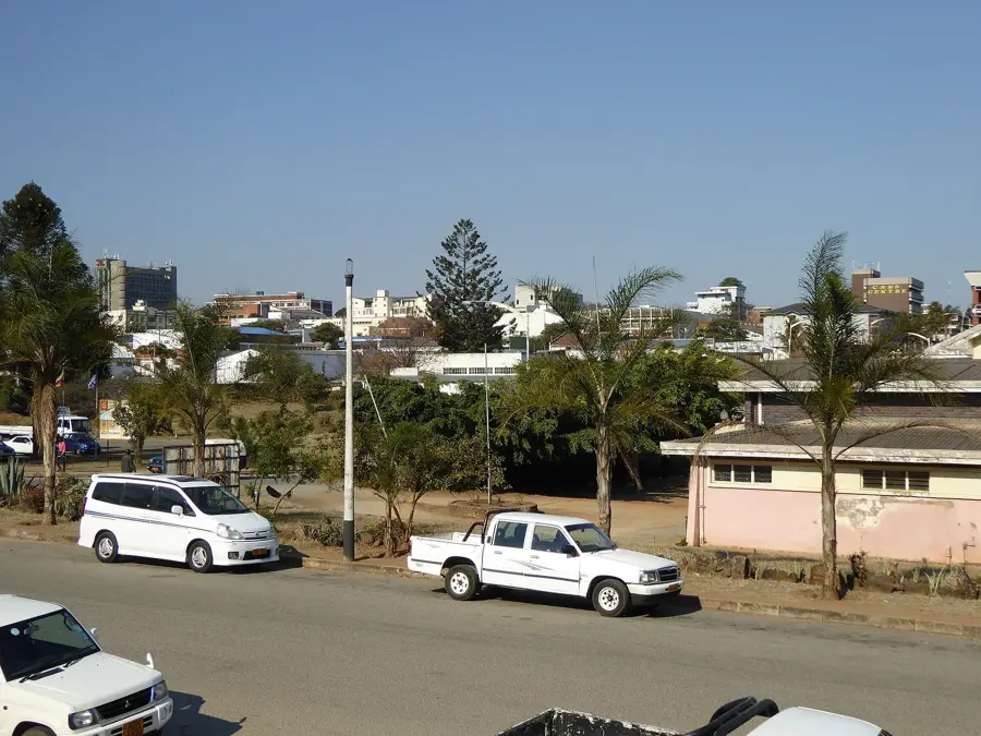
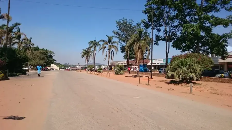
- Nearby: Chipinge (63 km)
Best time to visit & climate
The most pleasant time to visit is May, Jun, Aug.
| Jan | Feb | Mar | Apr | May | Jun | Jul | Aug | Sep | Oct | Nov | Dec | |
|---|---|---|---|---|---|---|---|---|---|---|---|---|
| Avg °C | 27 | 27 | 26 | 24 | 22 | 20 | 19 | 22 | 25 | 27 | 28 | 28 |
| Rain mm | 121 | 115 | 97 | 47 | 16 | 13 | 11 | 4 | 12 | 25 | 65 | 132 |
📋 Practical info
Geography
Explore nearby
Notable places around
Route planner — Car & Motorhome
Where do you start? We build the route here, with stops and country notes along the way.
© OpenStreetMap contributors · OpenRouteService
Sights nearby
Frequently asked questions
What characterizes the Save-Ebene?
Is the region easily navigable?
Are there malaria-free zones there?
What is the social climate like?
What is nearby?
Save Plains: where is it located?
Save Plains: when is the best time to visit?
Save Plains: why is it worth visiting?

Nearby cities

History & landmarks

Nature
More places