Plizio Visual Lab
Save River
Weather…
Water temperature…
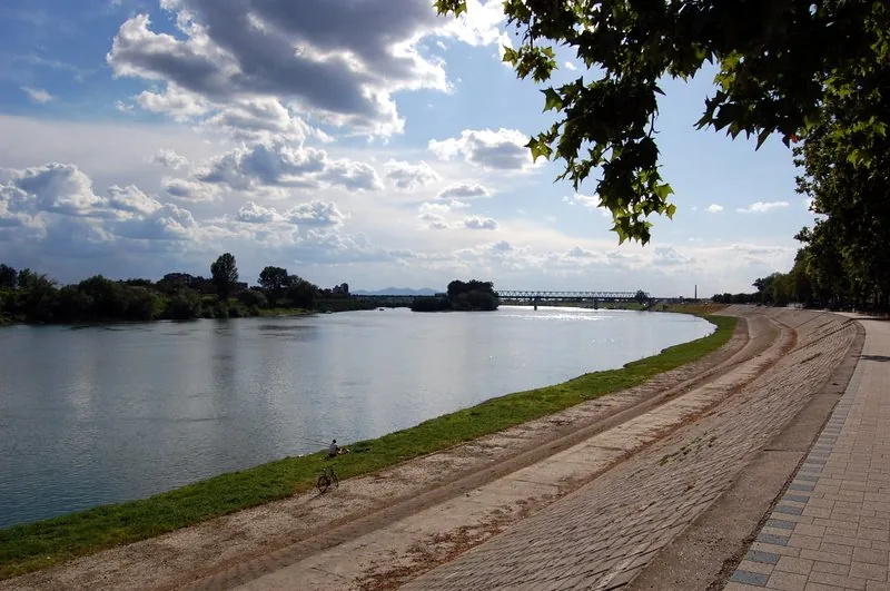
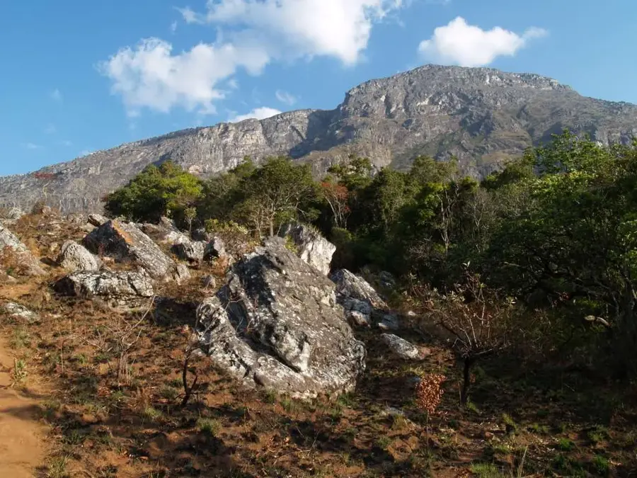
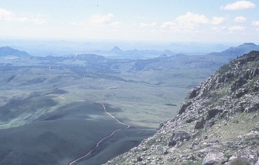
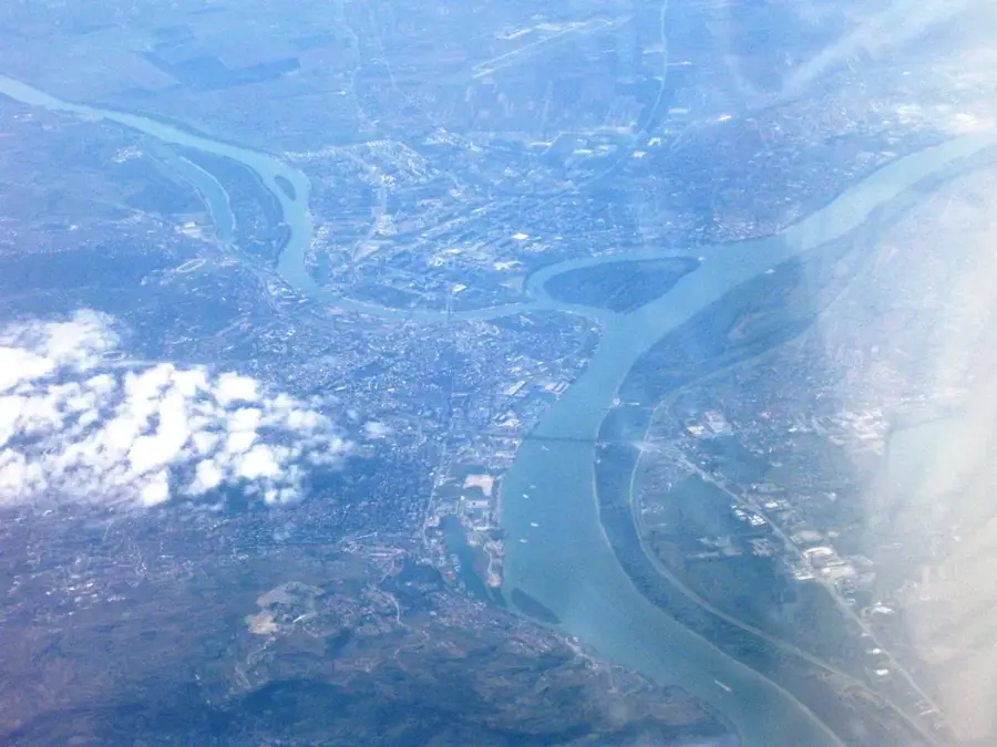
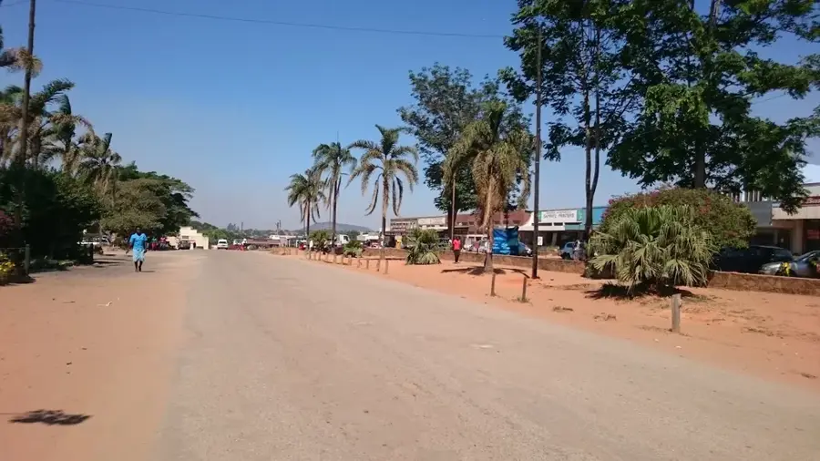
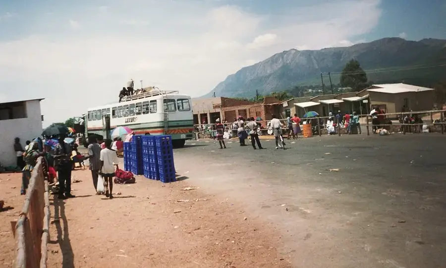
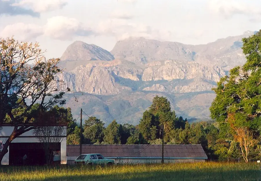
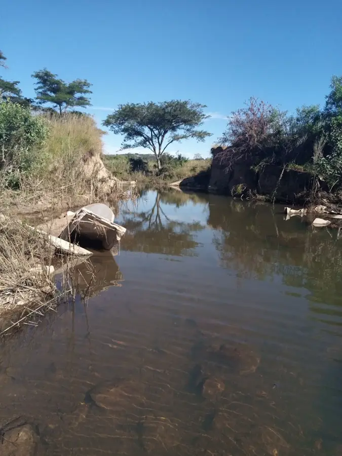
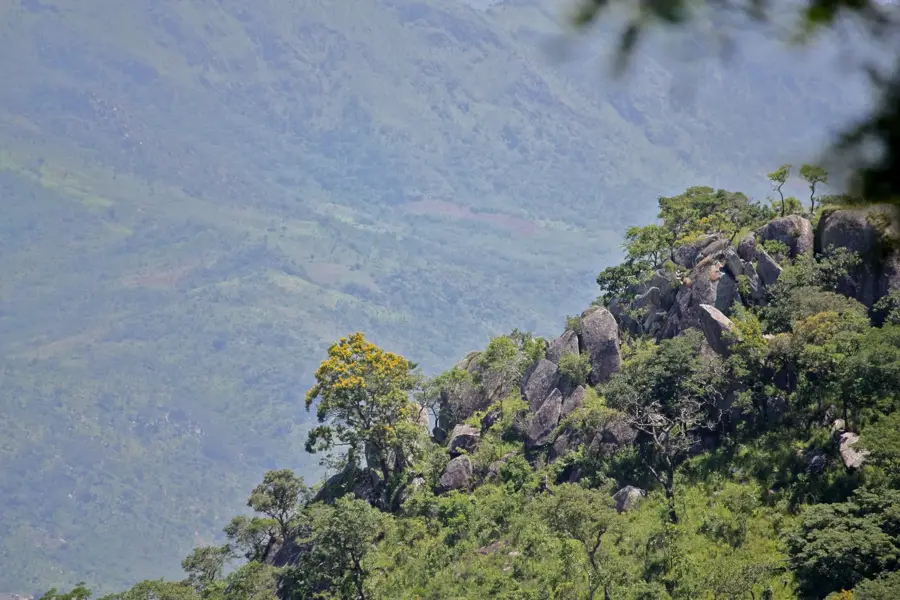
The Save River, historically known as the Sabi River, is one of the longest and most economically significant rivers in Zimbabwe, originating on the central plateau near Marondera. It flows southeasterly across the vast Lowveld plains before entering Mozambique and eventually discharging into the Indian Ocean. The river is a critical lifeline for the agricultural sector, particularly in the southeastern regions where its waters support extensive irrigation schemes for sugarcane, citrus, and cotton. The Save's basin is marked by diverse landscapes, ranging from granite hills at its source to flat alluvial plains in its lower reaches. It also flows through several protected areas, contributing to the biodiversity of the region and supporting populations of hippos and crocodiles. Over time, the river has faced environmental challenges such as siltation due to upstream land use, which has impacted its flow and ecosystem. Despite these issues, it remains central to the livelihood of thousands of farmers and the regional economy. The river's historical importance is also reflected in ancient archaeological sites found within its valley.
Best time to visit & climate
The most pleasant time to visit is May, Jun, Aug.
| Jan | Feb | Mar | Apr | May | Jun | Jul | Aug | Sep | Oct | Nov | Dec | |
|---|---|---|---|---|---|---|---|---|---|---|---|---|
| Avg °C | 27 | 27 | 26 | 24 | 22 | 20 | 19 | 22 | 25 | 27 | 28 | 28 |
| Rain mm | 121 | 115 | 97 | 47 | 16 | 13 | 11 | 4 | 12 | 25 | 65 | 132 |
📋 Practical info
Geography
Facts
- The Save River is 640 km long from its source near Marondera to the Indian Ocean.
- It forms the international border between Zimbabwe and Mozambique in its lower reaches.
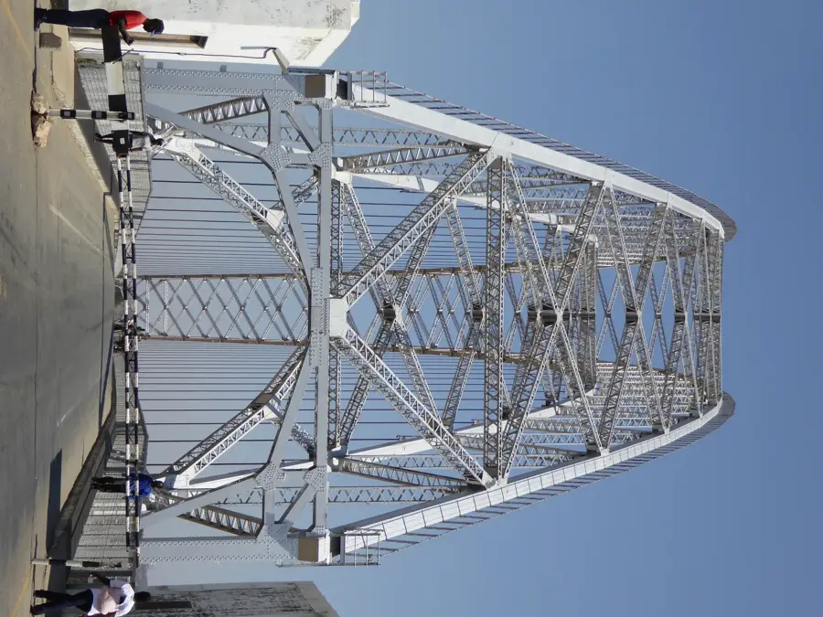
- The Birchenough Bridge, completed in 1935, is a major landmark across the river.
- It provides irrigation for over 50,000 hectares of farmland in the Lowveld.
- The Save Basin supports one of Zimbabwe's largest sugar industries established in 1960.
- The river has experienced a 50% reduction in flow in some areas due to siltation.
Explore nearby
Notable places around
Route planner — Car & Motorhome
Where do you start? We build the route here, with stops and country notes along the way.
© OpenStreetMap contributors · OpenRouteService
Sights nearby
Frequently asked questions
What is the Save River?
Is the river navigable?
Can you fish there?
What is the environment like?
Best travel time?
Save River: where is it located?
Save River: when is the best time to visit?
Save River: why is it worth visiting?

Nearby cities
History & landmarks
More places