Plizio Visual Lab
Headlands
ℹ️Practical info — Headlands
▾
🌤 Weather — 5 days
📍 Nearby
Sights nearby
💡 Tips
- Plan a short break here if you are traveling on the main highway between Harare and Mutare.
- Cash (especially USD) is strongly preferred by local vendors, so carry small denominations.
- The area is an active agricultural hub, with the most lively atmosphere in the early morning.
- Don't expect major tourist facilities; it's a functional, bustling local transit center.
🍽 Food
Try this traditional maize staple food at local roadside eateries.
Often sold fresh by vendors lining the main highway.
A popular, hearty snack for travelers, often prepared directly over an open fire.
🛍 Shopping · 🧘 Quiet spots
Buy fresh, locally grown fruits and vegetables directly from the farmers.
Look out for handmade woven baskets and wood carvings along the highway.
Take a short walk away from the main road to enjoy the tranquility of the fields.
Some gentle hills in the area offer a nice view of the rural landscape away from the traffic.
Water temperature…
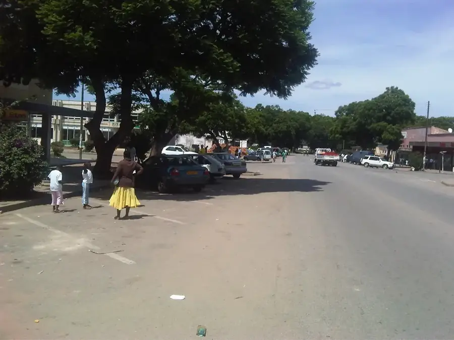
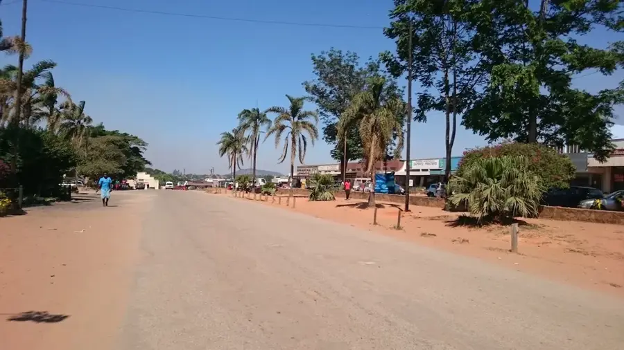
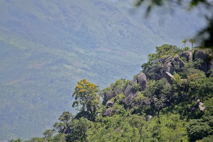
Headlands is a bustling trade and agricultural hub strategically positioned along the A3 highway, the primary artery connecting Zimbabwe's capital, Harare, with the eastern city of Mutare. Located at the threshold of the Manicaland Province, the town serves as a critical collection and distribution point for the surrounding large-scale commercial farms. The region is particularly renowned for its high-quality tobacco and maize production, which are the mainstays of the local economy. Headlands' infrastructure, including its railway siding and road transit facilities, ensures the seamless movement of agricultural goods to both domestic and international markets. In addition to crop farming, the area supports significant livestock operations, contributing to its status as a productive rural center. The town's name is inspired by the distinct topographical features of the nearby hills, which characterize the transition into the eastern highlands. It remains a vital service stop for travelers and transporters navigating the long route between the interior and the coast.
- Location: Zimbabwe
- Nearby: Rusape (25 km)
- Population: ~1.728 (2012)
Best time to visit & climate
The most pleasant time to visit is Aug–Oct.
| Jan | Feb | Mar | Apr | May | Jun | Jul | Aug | Sep | Oct | Nov | Dec | |
|---|---|---|---|---|---|---|---|---|---|---|---|---|
| Avg °C | 21 | 21 | 20 | 18 | 16 | 14 | 13 | 16 | 20 | 22 | 23 | 22 |
| Rain mm | 164 | 125 | 100 | 42 | 9 | 6 | 12 | 2 | 8 | 29 | 98 | 202 |
Geography
Facts
- Population: 3,000
- Distance from Harare: 170 km
- Annual tobacco production: 5,000 tons
- Elevation: 1,100 m
- Founded: 1905
- Average temperature: 22°C
Explore nearby
Notable places around
Route planner — Car & Motorhome
Where do you start? We build the route here, with stops and country notes along the way.
© OpenStreetMap contributors · OpenRouteService
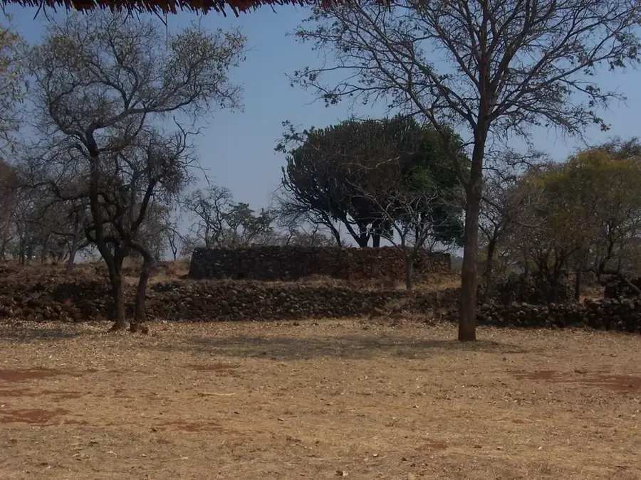
Sights in the town Headlands (1)
Frequently asked questions
What defines Headlands?
Is Headlands a tourist destination?
What is the weather like?
What can one find nearby?
How do you get there?
Headlands: where is it located?
Headlands: when is the best time to visit?
Headlands: why is it worth visiting?

Nearby cities

History & landmarks


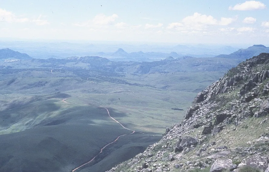
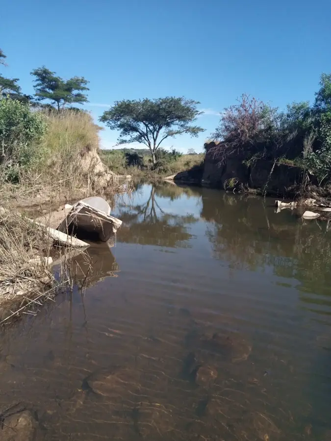
Nature
More places