Plizio Visual Lab
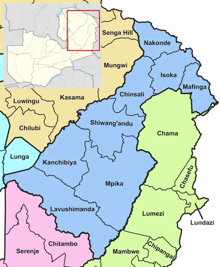
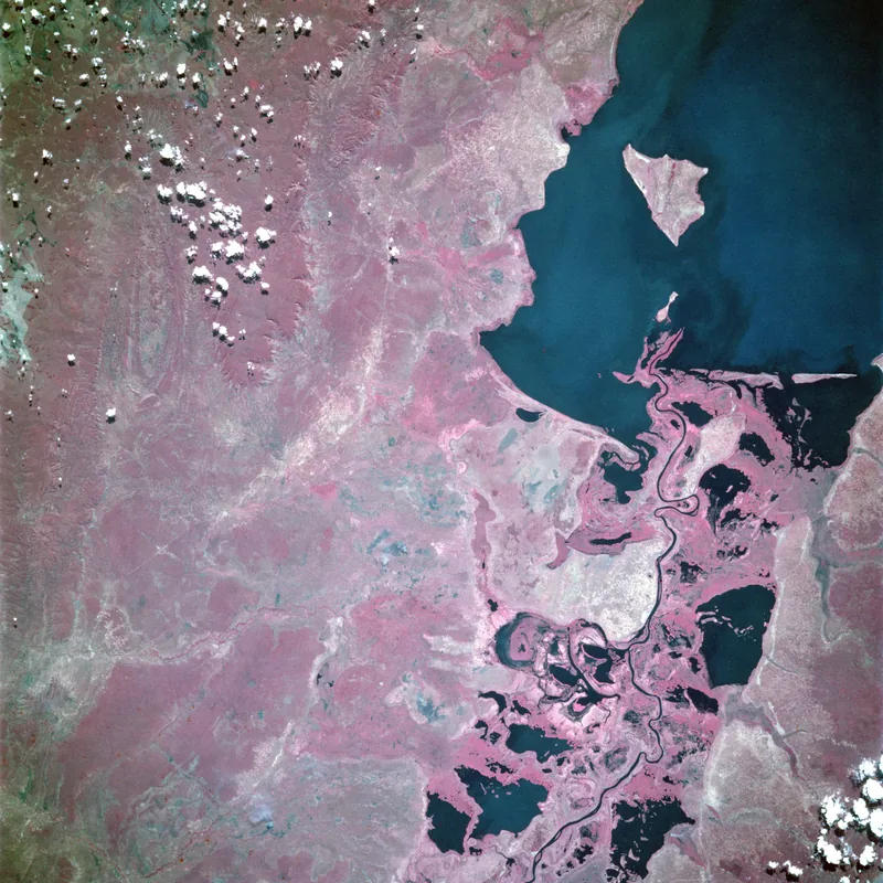
Luapula Valley
Weather…
Water temperature…
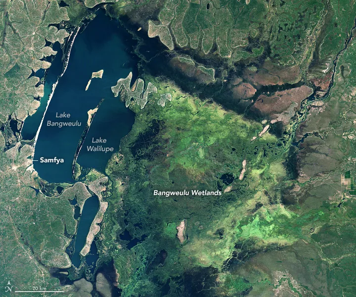
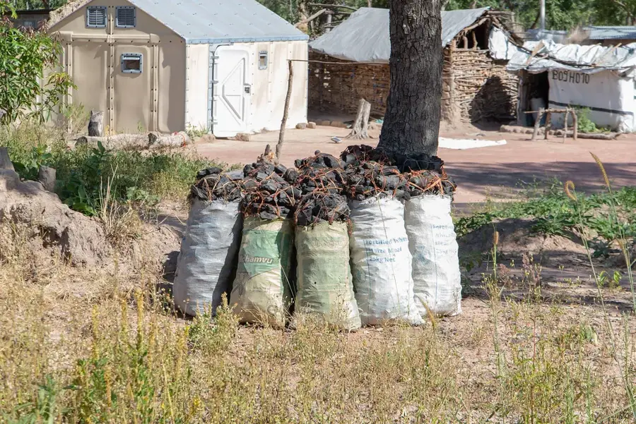
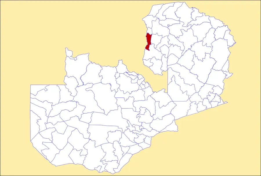
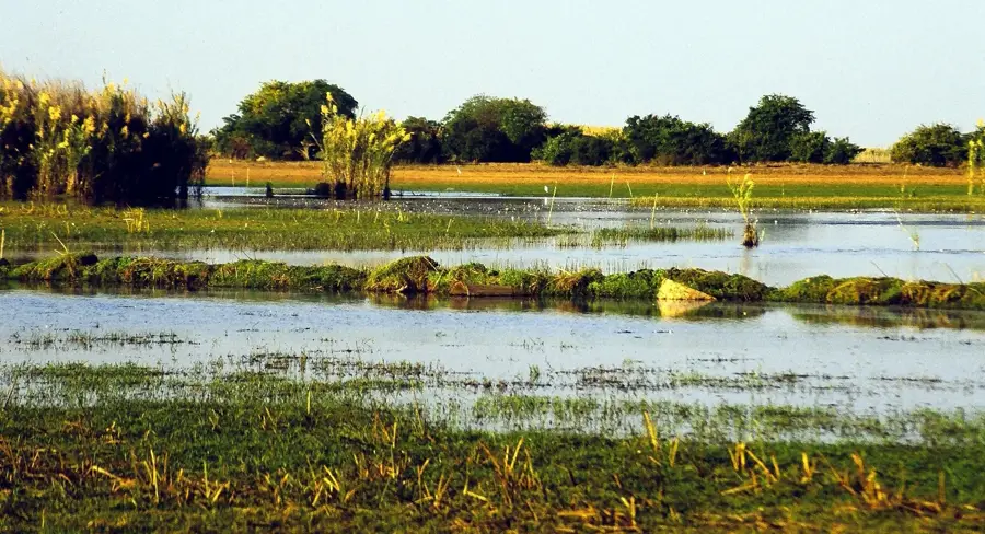
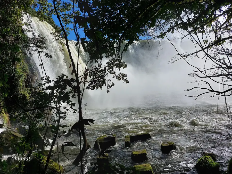
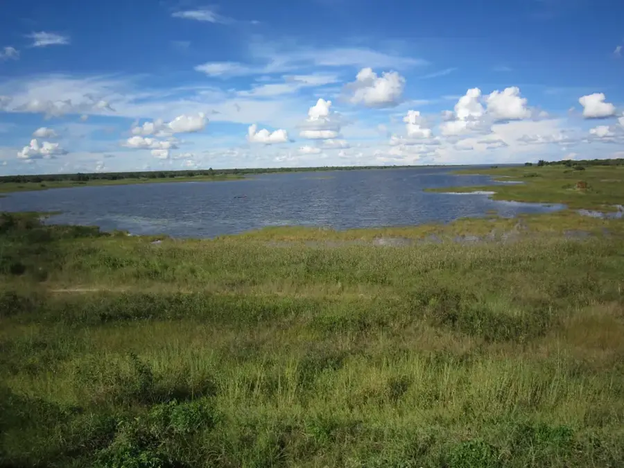
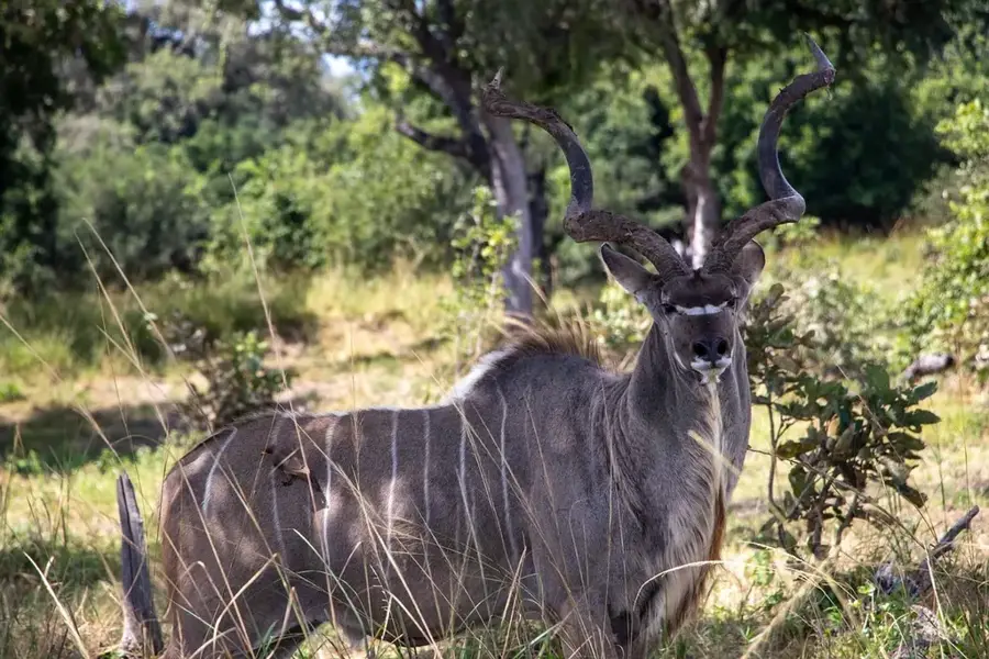
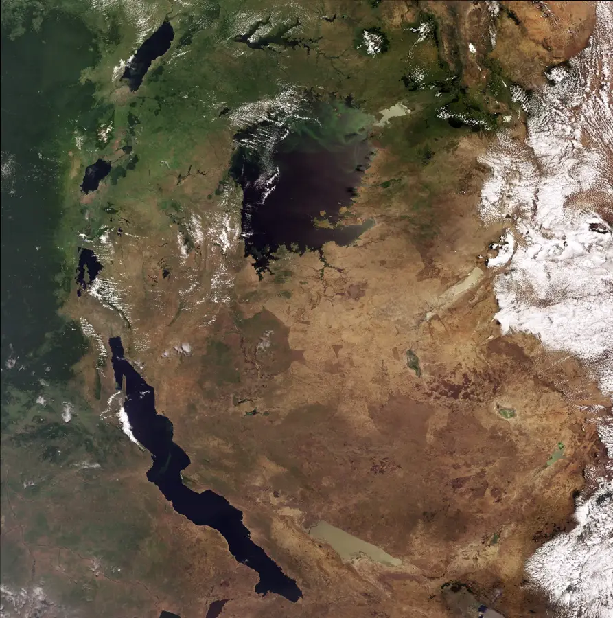
The Luapula Valley lies in northern Zambia along the border with the Democratic Republic of the Congo, forming a significant segment of the African Rift Valley system. The valley is dominated by the Luapula River, which originates from Lake Bangweulu and eventually flows into Lake Mweru. The region is characterized by a diverse topography, ranging from steep escarpments to wide alluvial plains. Geologically, the valley sits on Precambrian rocks, with the faulting of the rift system having shaped the modern landscape. Musonda Falls is a prominent geographic landmark within the valley and is currently used for local hydroelectric power generation. Economically, the valley is of great importance for the fishing industry and agriculture, as the fertile soil supports the cultivation of cassava and maize. The warm, humid climate and perennial water sources sustain dense vegetation and a diverse range of wildlife along the riverine areas.
- Location: Zambia
- Nearby: Kawambwa (22 km)
Best time to visit & climate
The most pleasant time to visit is May–Jul.
| Jan | Feb | Mar | Apr | May | Jun | Jul | Aug | Sep | Oct | Nov | Dec | |
|---|---|---|---|---|---|---|---|---|---|---|---|---|
| Avg °C | 23 | 23 | 23 | 23 | 22 | 20 | 21 | 23 | 27 | 28 | 26 | 23 |
| Rain mm | 236 | 171 | 180 | 71 | 5 | 1 | 1 | 2 | 5 | 36 | 159 | 256 |
📋 Practical info
Geography
Facts
- The Luapula River travels a distance of approximately 560 km within the valley.
- The valley serves as a natural border between Zambia and the DR Congo.
- Lake Mweru marks the lowest point of the valley in the north.
- Hydroelectric power has been generated at Musonda Falls since the 1960s.
- The average annual rainfall in the valley is approximately 1,200 mm.
- Over 100 different bird species have been recorded in the valley's wetlands.
Explore nearby
Notable places around
Route planner — Car & Motorhome
Where do you start? We build the route here, with stops and country notes along the way.
© OpenStreetMap contributors · OpenRouteService
Sights nearby
Frequently asked questions
Is the area safe for hikers?
Is there accommodation there?
Which season is the best?
Is it a family destination?
How is the infrastructure?
Luapula Valley: where is it located?
Luapula Valley: when is the best time to visit?
Luapula Valley: why is it worth visiting?

Nearby cities


History & landmarks
Nature

More places