Plizio Visual Lab
Sierra de la Neblina
Weather…
Water temperature…
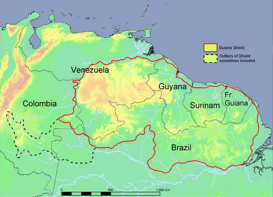
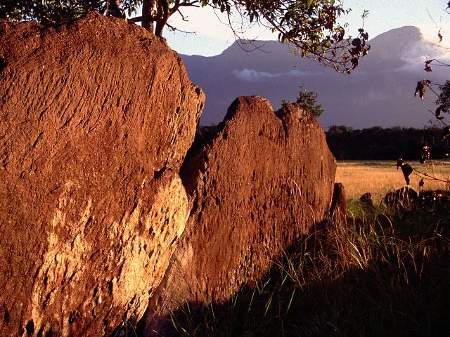
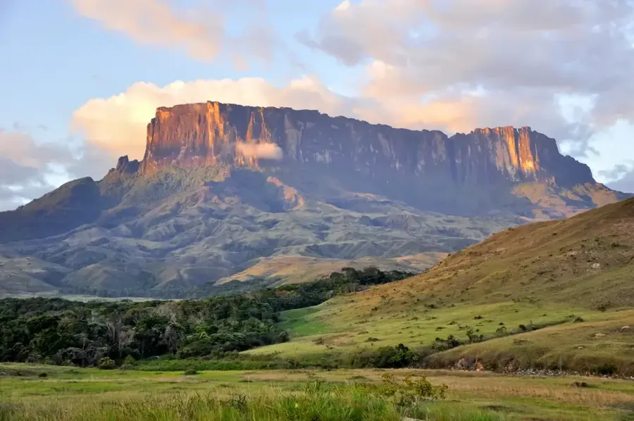
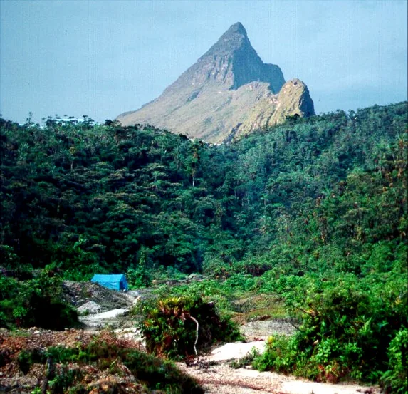
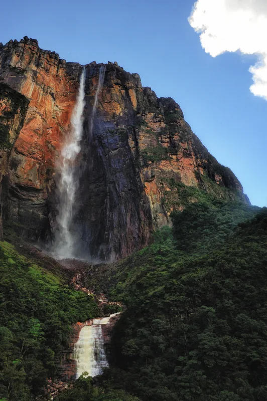
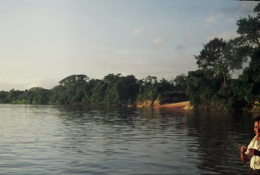
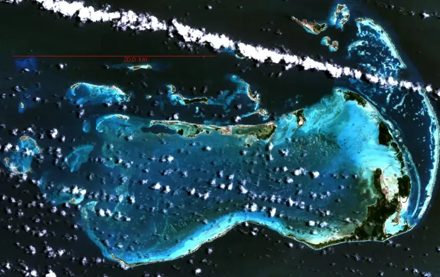
Sierra de la Neblina is a massive sandstone massif on the border between Venezuela and Brazil, recognized as the highest tepui in the world. The mountains were only scientifically discovered and mapped in 1953 by an expedition led by Bassett Maguire. A defining feature of this region is the Cañón Grande del Río Baría, one of the deepest canyons on Earth, which spectacularly bisects the massif. Due to its extreme isolation, a unique flora has evolved here, including numerous endemic species of the carnivorous plant genus Heliamphora. The cloud forests and high plateaus are almost constantly shrouded in dense mist, giving the mountains their name. It is part of the Serranía de la Neblina National Park, which covers an area of over 1.3 million hectares. The geological structure consists of Precambrian quartzite of the Roraima Group, shaped by erosion over millions of years.
Best time to visit & climate
The most pleasant time to visit is Jul–Sep.
| Jan | Feb | Mar | Apr | May | Jun | Jul | Aug | Sep | Oct | Nov | Dec | |
|---|---|---|---|---|---|---|---|---|---|---|---|---|
| Avg °C | 26 | 26 | 26 | 25 | 25 | 25 | 25 | 25 | 26 | 26 | 26 | 26 |
| Rain mm | 231 | 204 | 263 | 260 | 297 | 239 | 180 | 172 | 148 | 170 | 181 | 215 |
📋 Practical info
Geography
Facts
- Scientific discovery by Bassett Maguire in 1953.
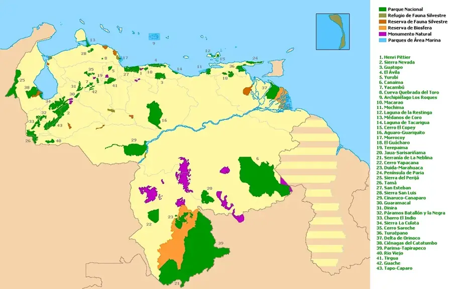
- Part of the 1.36 million hectare Serranía de la Neblina National Park.
- Home to the Cañón Grande del Río Baría, one of the world's deepest canyons.
- Highest point on the Venezuelan side reaches over 3,000 meters.
- Geological formation composed of Precambrian quartzite of the Roraima Group.
- Primary location for endemic carnivorous plants like Heliamphora neblinae.
Explore nearby
Notable places around
Route planner — Car & Motorhome
Where do you start? We build the route here, with stops and country notes along the way.
© OpenStreetMap contributors · OpenRouteService
Sights nearby
Frequently asked questions
What gear do I need for Sierra de la Neblina?
What is the climate like there?
Are there dangerous animals?
Can one explore the area alone?
How long are the daily stages?
Sierra de la Neblina: where is it located?
Sierra de la Neblina: when is the best time to visit?
Sierra de la Neblina: why is it worth visiting?

History & landmarks
Nature
More places