Plizio Visual Lab
Mount Neblina
Weather…
Water temperature…
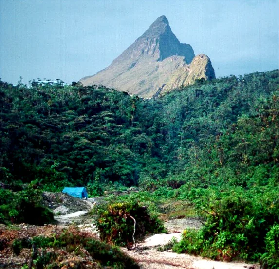
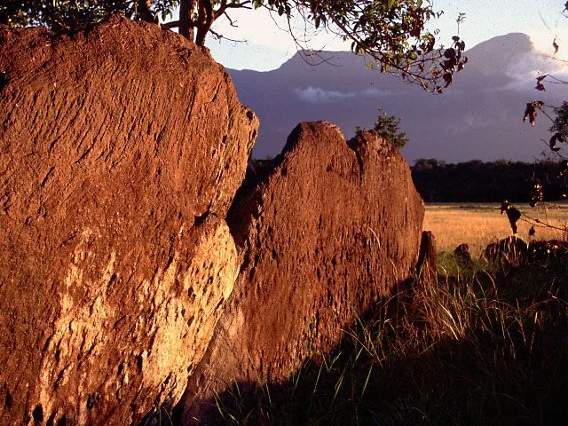
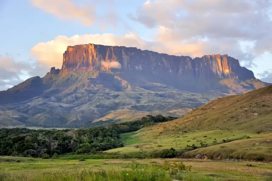
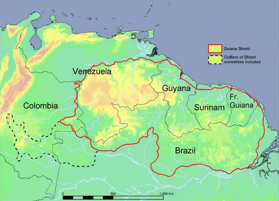
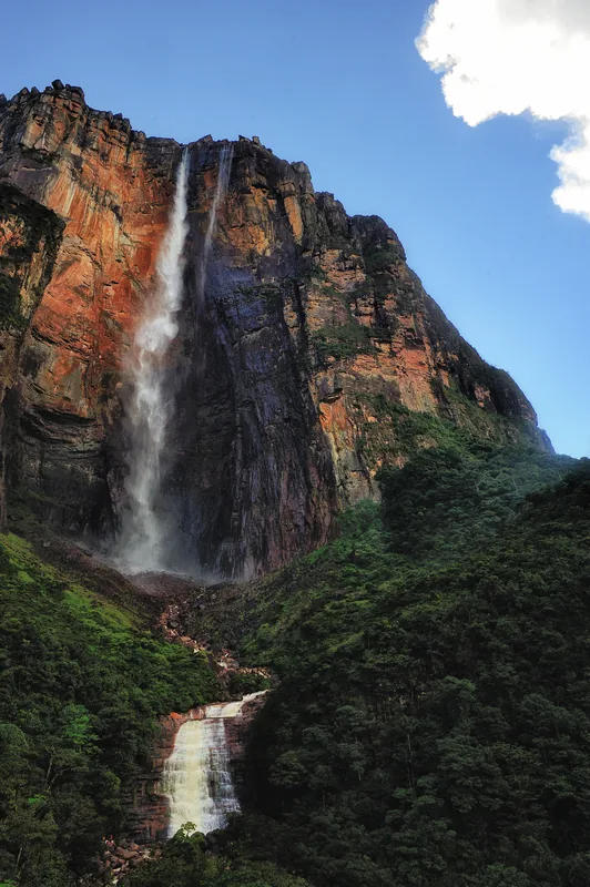
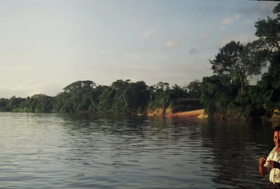
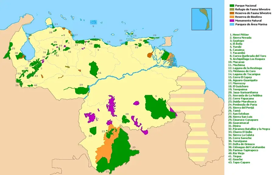
Mount Neblina, officially known as Pico da Neblina on the border between Venezuela and Brazil, is the highest peak of the Guiana Shield, reaching an elevation of 2,995 meters. The Neblina Massif is geographically isolated deep within the Amazon rainforest, making it one of the most inaccessible locations on Earth. The region was first documented in 1953 during an expedition led by Bassett Maguire, as it is almost perpetually shrouded in thick clouds, which inspired its name ('Mist Mountain'). Geologically, the mountain is composed of Precambrian sandstone, forming a unique tepui structure with a more rugged relief than the table mountains further east. The area has been protected since 1978 as the Serranía de la Neblina National Park and hosts an extraordinary concentration of endemic species, including the carnivorous plant Heliamphora neblinae. The climate is characterized by extremely high rainfall and cool summit temperatures, standing in stark contrast to the surrounding hot lowlands. The mountain represents a major biogeographical boundary and is invaluable for climate research and evolutionary biology.
- Location: Venezuela
- Top sights: Pico 31 de Março · Pico Phelps · Pico da Neblina
Best time to visit & climate
The most pleasant time to visit is Jul–Sep.
| Jan | Feb | Mar | Apr | May | Jun | Jul | Aug | Sep | Oct | Nov | Dec | |
|---|---|---|---|---|---|---|---|---|---|---|---|---|
| Avg °C | 26 | 26 | 26 | 25 | 25 | 25 | 25 | 25 | 26 | 26 | 26 | 26 |
| Rain mm | 231 | 204 | 263 | 260 | 297 | 239 | 180 | 172 | 148 | 170 | 181 | 215 |
📋 Practical info
Geography
Facts
- Elevation is 2,995 meters.
- Highest point of the Guiana Shield.
- Discovered in 1953 by Bassett Maguire.
- Located on the border between Venezuela and Brazil.
- National Park established in 1978.
- Home to the endemic Heliamphora neblinae.
Explore nearby
Notable places around
Route planner — Car & Motorhome
Where do you start? We build the route here, with stops and country notes along the way.
© OpenStreetMap contributors · OpenRouteService
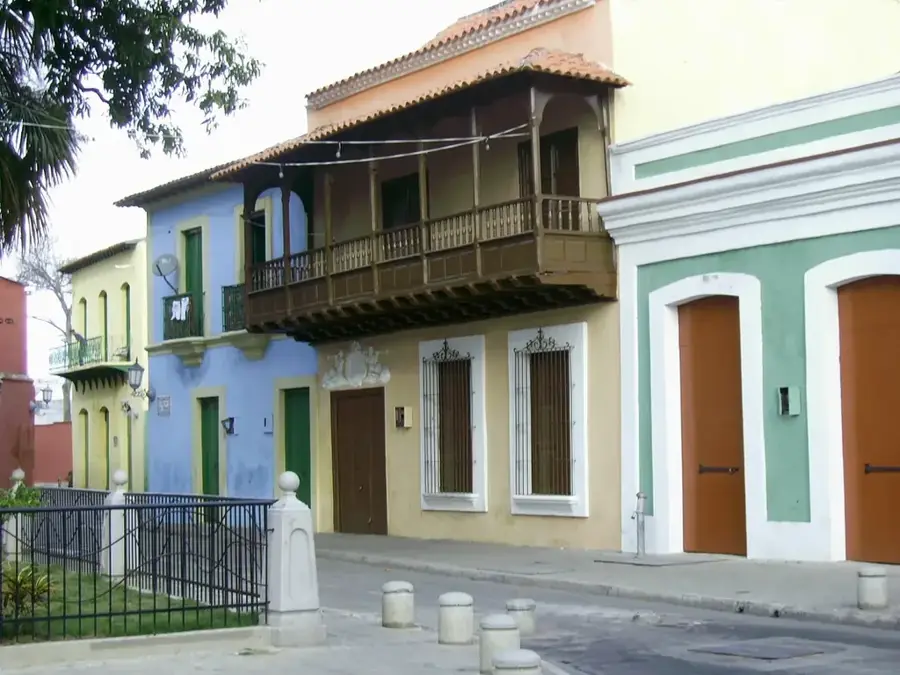
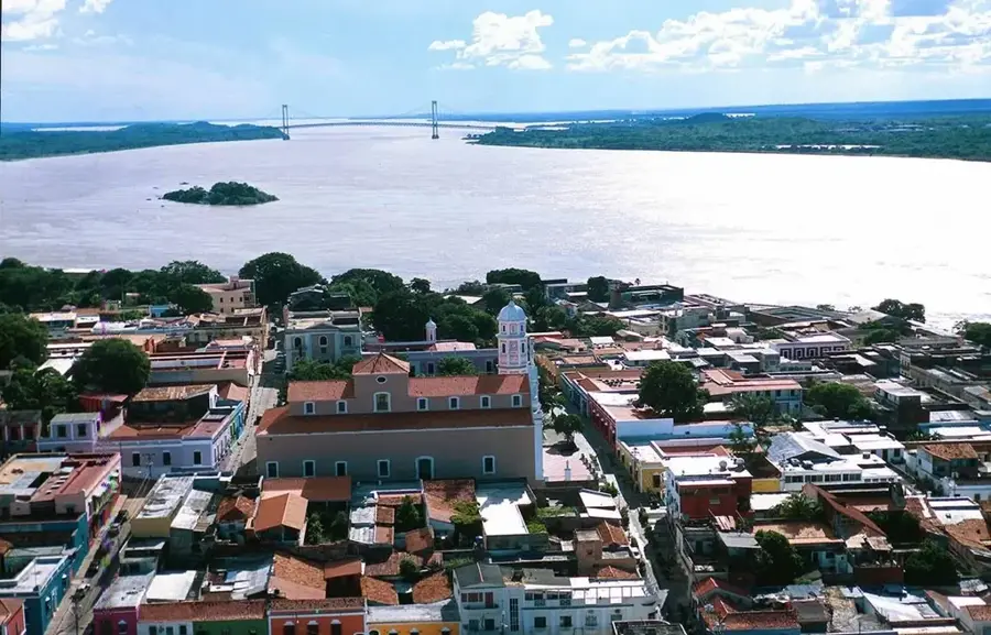
Sights in the town Mount Neblina (3)
Pico da Neblina
The highest peak in Brazil, at 2995 m, located in Pico da Neblina National Park.
Sights nearby
Frequently asked questions
How difficult is climbing Mount Neblina?
What is the best time of year to visit the region?
Are there water sources on the mountain?
Is a local guide required?
What equipment is essential?
Mount Neblina: where is it located?
Mount Neblina: what is there to see?
Mount Neblina: when is the best time to visit?
Mount Neblina: why is it worth visiting?

History & landmarks
Nature
More places