Plizio Visual Lab
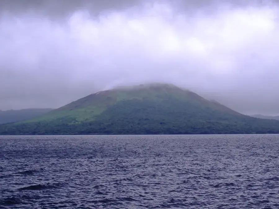
Mount Sere'ama

Weather…
Water temperature…
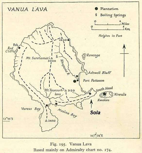
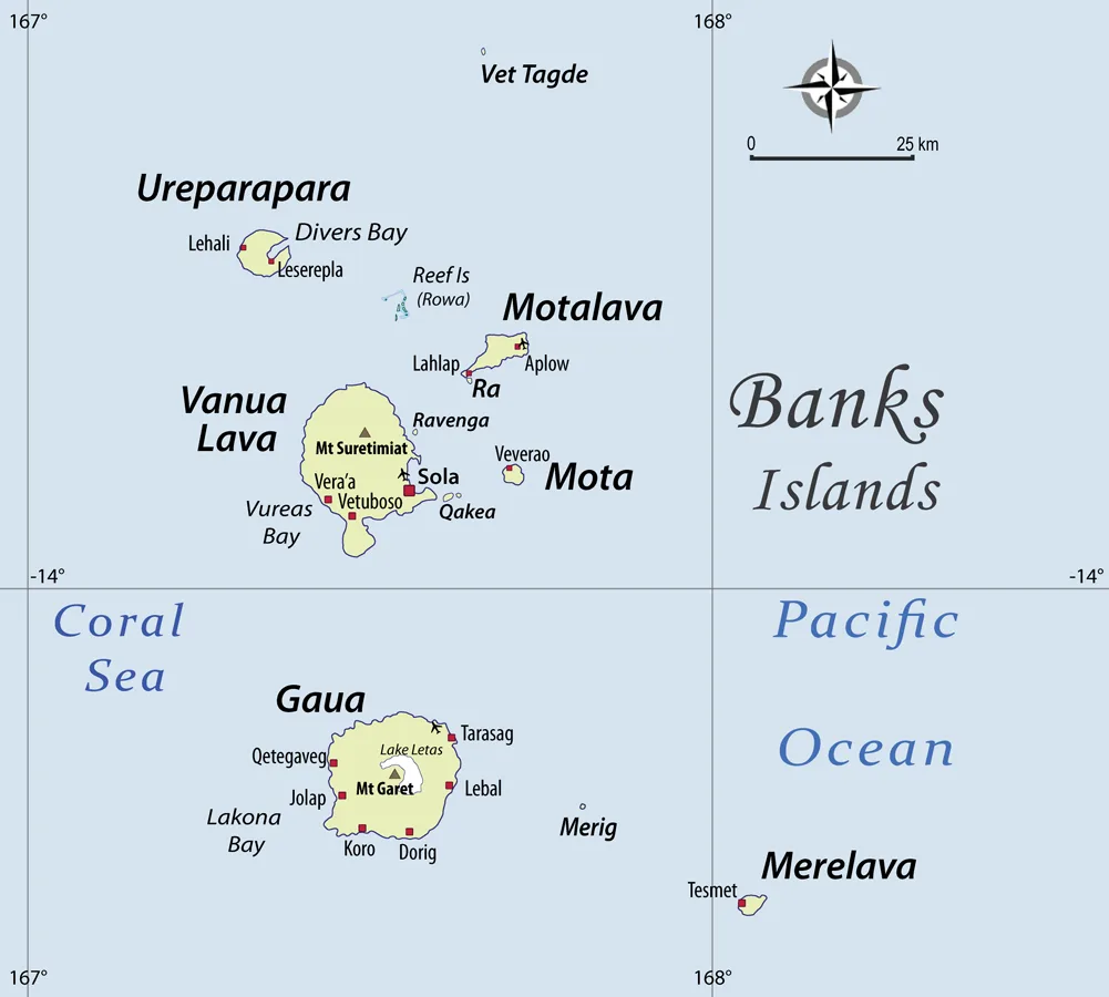
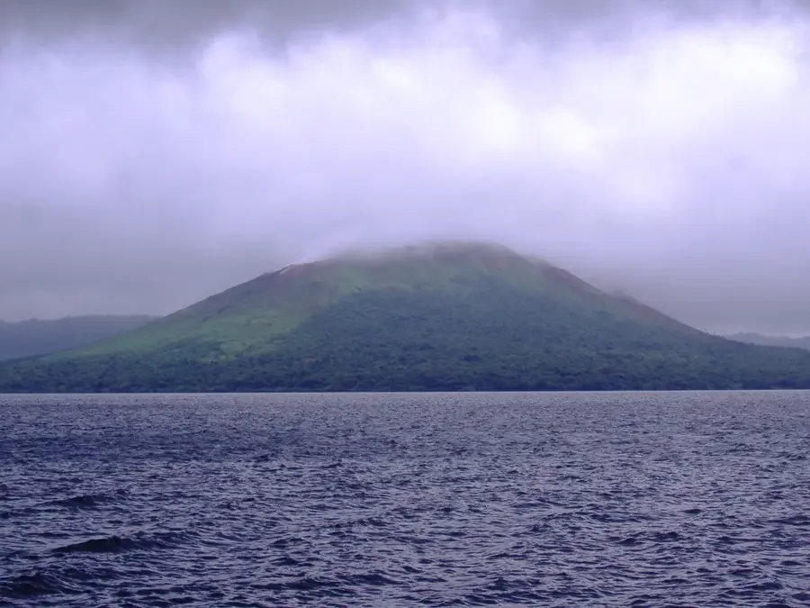
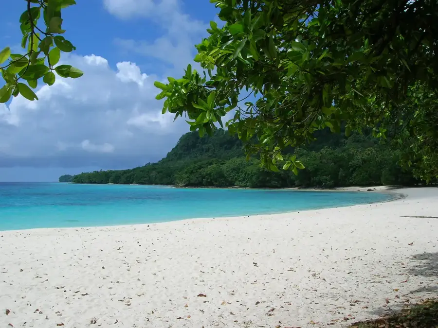
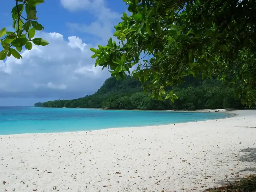
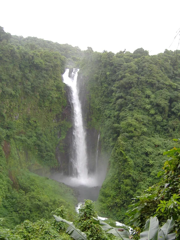
Mount Sere'ama is the highest peak on Maewo island in Vanuatu, standing at 811 meters. Maewo is famous for its high rainfall rates, and Mount Sere'ama plays a central role as a rain catchment and water reservoir for the entire island. The summit region is almost constantly shrouded in clouds, facilitating the creation of spectacular waterfalls on its steep flanks. These waterfalls are a characteristic feature of Maewo and feed the numerous rivers essential for rice cultivation and the population's water supply. The mountain vegetation is extremely dense and biodiverse, characterized by giant ferns and epiphytes. Geologically, the mountain belongs to the mountain range that traverses Maewo in a north-south direction and consists primarily of volcanic rocks. Mount Sere'ama is difficult to access, which has contributed to the preservation of the area's ecological integrity, serving as a sanctuary for rare animal species.
Best time to visit & climate
The most pleasant time to visit is Jul–Sep.
| Jan | Feb | Mar | Apr | May | Jun | Jul | Aug | Sep | Oct | Nov | Dec | |
|---|---|---|---|---|---|---|---|---|---|---|---|---|
| Avg °C | 28 | 28 | 28 | 28 | 27 | 27 | 26 | 26 | 26 | 27 | 27 | 28 |
| Rain mm | 338 | 332 | 336 | 397 | 313 | 248 | 194 | 190 | 196 | 308 | 336 | 312 |
📋 Practical info
Geography
Facts
- Highest peak of Maewo island at 811 m
- Source of numerous spectacular waterfalls
- Summit region receives over 4,000 mm of rain annually
- Critical for local irrigation-based agriculture
- Volcanic rock dating back to the Miocene
- Home to many endemic fern species
Explore nearby
Notable places around
Route planner — Car & Motorhome
Where do you start? We build the route here, with stops and country notes along the way.
© OpenStreetMap contributors · OpenRouteService
Sights in the town Mount Sere'ama (1)
Sights nearby
Frequently asked questions
How is the mountain known?
Is camping an option?
Is special equipment needed?
Are there guides?
Is it safe?
Mount Sere'ama: where is it located?
Mount Sere'ama: when is the best time to visit?
Mount Sere'ama: why is it worth visiting?

Nearby cities


History & landmarks

Nature

More places