Plizio Visual Lab
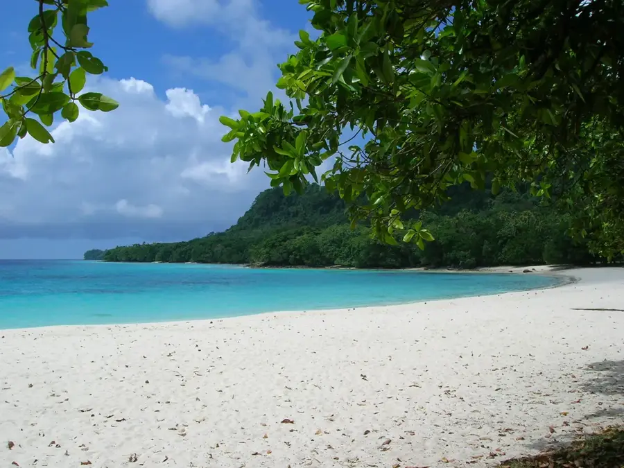
Port Orly Coastline
Weather…
Water temperature…
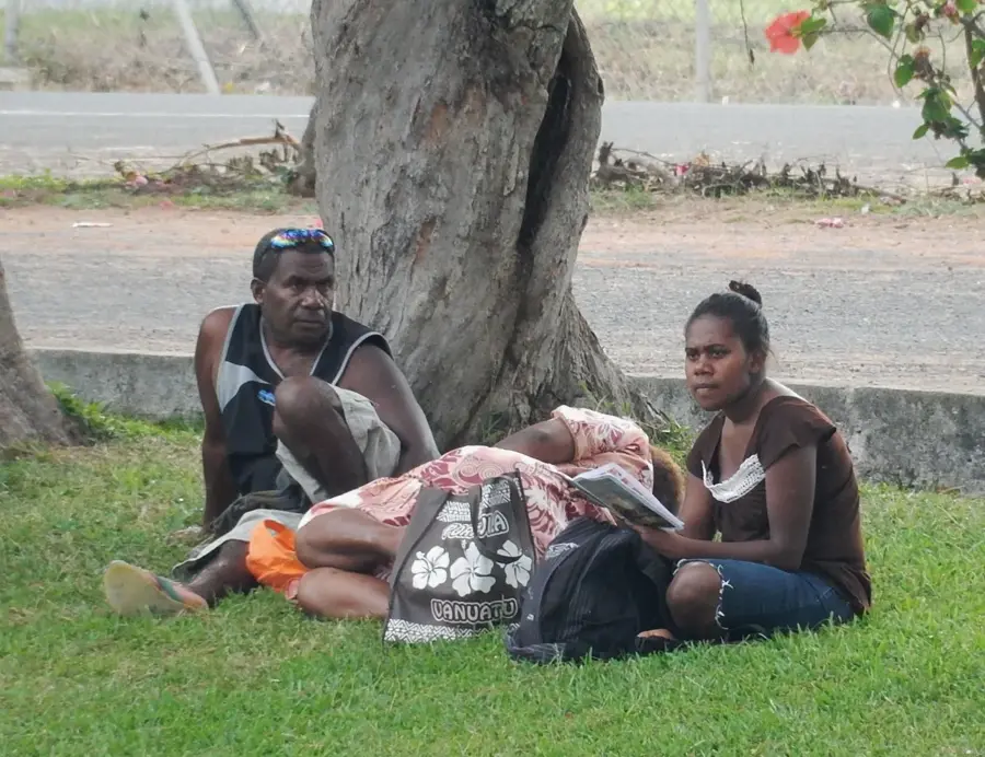
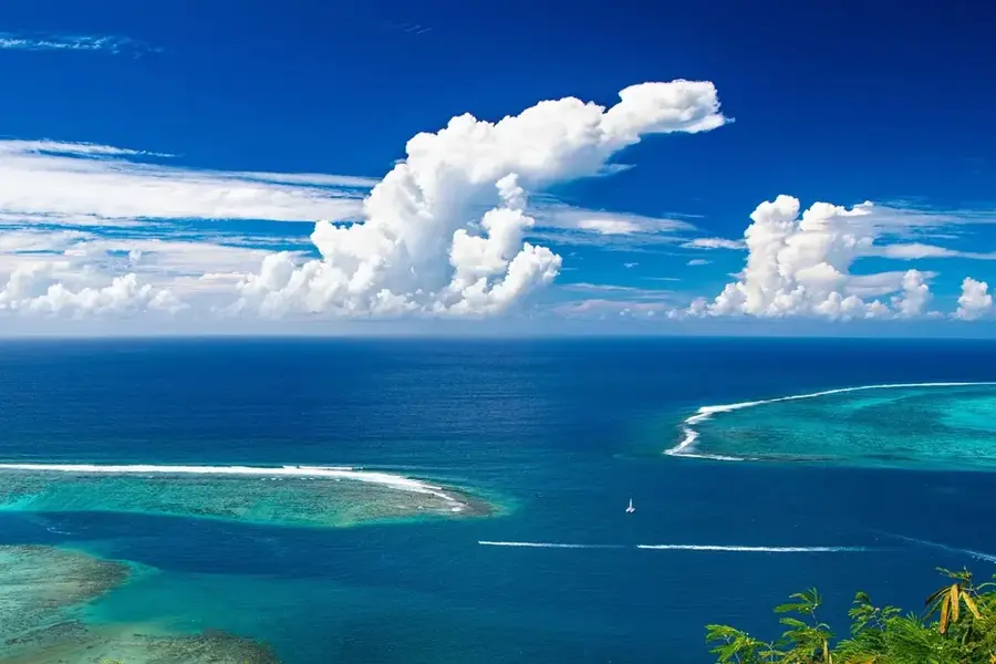
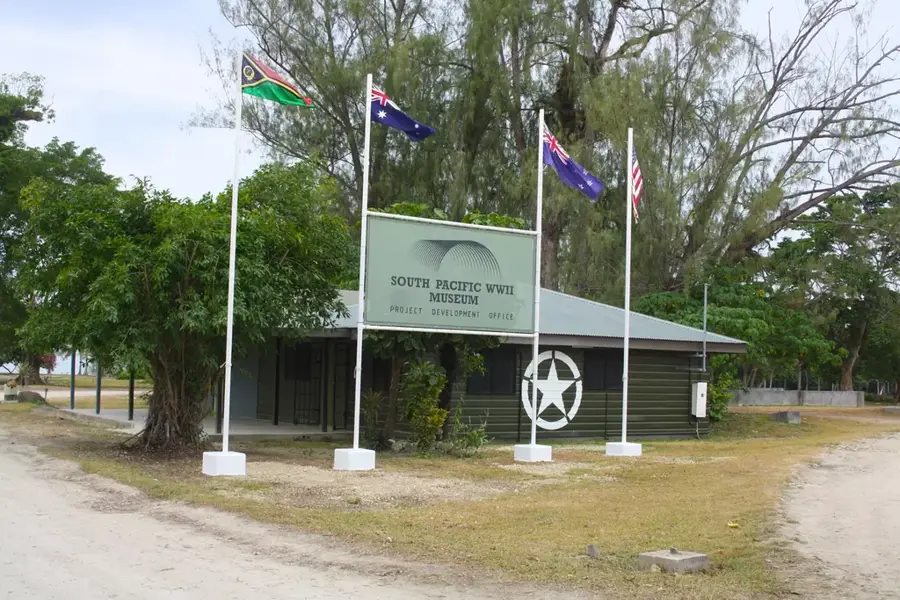
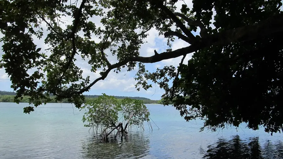
Port Orly is situated on the northeastern coast of Espiritu Santo island and stands as one of the largest francophone settlements in Vanuatu. The village was originally established as a Catholic mission station in the late 19th century and currently has a population of approximately 3,000 residents. Geographically, the region is characterized by its extensive white sand beaches and offshore limestone islets. The local economy relies heavily on copra exports, fishing, and cattle farming on the surrounding plantations. Historically, Port Orly remained a focal point of French influence during the British-French Condominium era. Today, the settlement serves as a significant gateway for ecotourism in Sanma Province while maintaining traditional Melanesian lifestyles and cultural practices within a modern framework.
Best time to visit & climate
The most pleasant time to visit is Jul–Sep.
| Jan | Feb | Mar | Apr | May | Jun | Jul | Aug | Sep | Oct | Nov | Dec | |
|---|---|---|---|---|---|---|---|---|---|---|---|---|
| Avg °C | 27 | 27 | 27 | 27 | 26 | 26 | 25 | 25 | 25 | 26 | 26 | 27 |
| Rain mm | 291 | 292 | 288 | 291 | 204 | 182 | 134 | 122 | 123 | 181 | 211 | 197 |
📋 Practical info
Geography
Facts
- Port Orly is the largest village in Sanma Province with 3,000 residents.
- The Catholic mission was officially established there in 1887.
- The settlement is located roughly 40 kilometers north of Luganville.
- Agriculture focuses on over 500 hectares of coconut plantations.
- The majority of the population speaks French as their primary foreign language.
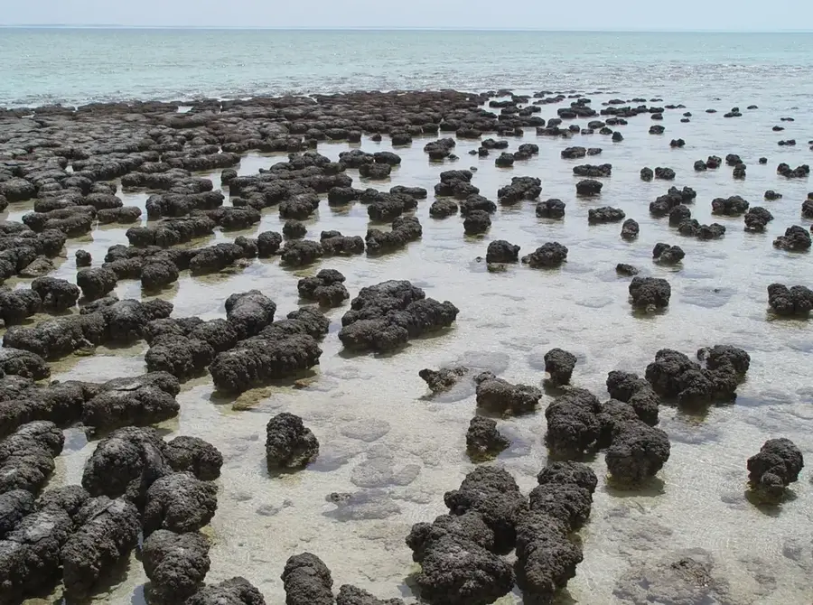
- The uninhabited Lath-hi and Elephant Islands are located offshore.
Explore nearby
Notable places around
Route planner — Car & Motorhome
Where do you start? We build the route here, with stops and country notes along the way.
© OpenStreetMap contributors · OpenRouteService
Sights nearby
Frequently asked questions
Is Port Orly suitable for families?
Is the food good there?
Are there accommodations there?
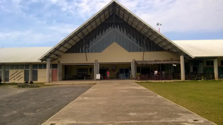
How do you get there?
Is a day trip worth it?
Port Orly Coastline: where is it located?
Port Orly Coastline: when is the best time to visit?
Port Orly Coastline: why is it worth visiting?

Nearby cities


History & landmarks


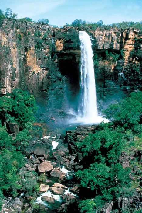
Nature
More places