Plizio Visual Lab
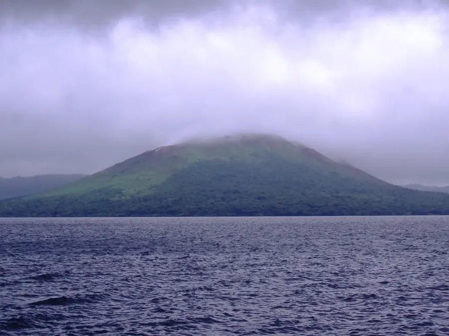
Maewo Central Range
Weather…
Water temperature…
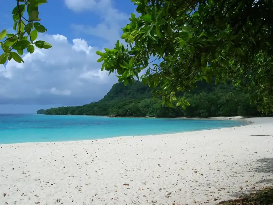
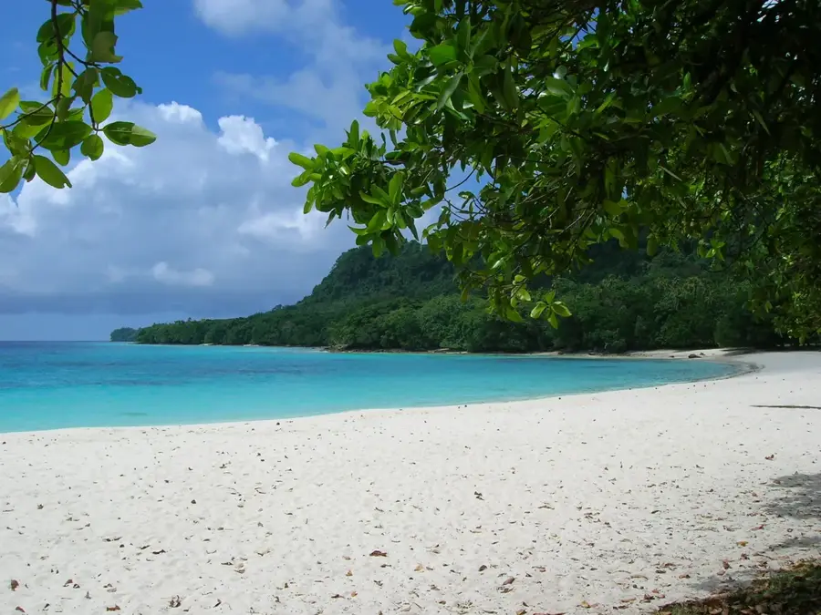
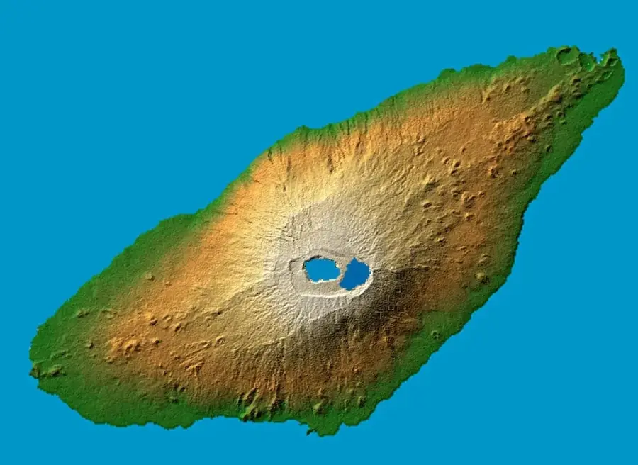
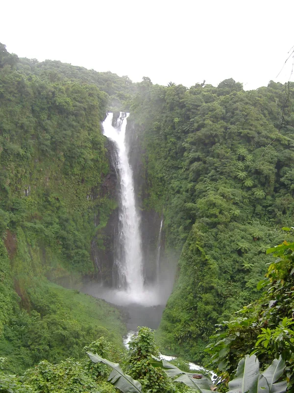
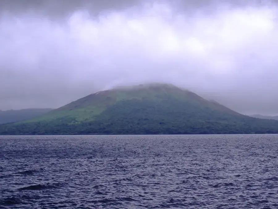
The Maewo Central Range forms the mountainous backbone of Maewo Island and is known as one of the wettest regions in Vanuatu. Extending from north to south, this range is covered in lush, evergreen rainforests crisscrossed by countless streams and spectacular waterfalls. Its geological structure is primarily volcanic, shaped by tectonic uplift and heavy erosion that has created a rugged landscape of steep ridges and deep valleys. With annual rainfall often exceeding 4,000 mm (157 inches), the slopes are perpetually moist, supporting a vast array of epiphytes and ferns. The highest points, such as Mount Tawet, reach over 800 meters (2,600 feet), providing a vital habitat for rare endemic bird species. For the local population, the central range is indispensable, acting as a natural water tower that feeds the island's unique terraced taro irrigation systems. Historically, the dense forests of the mountains offered refuge during times of conflict and still harbor significant cultural sites today. The Maewo Central Range is a quintessential example of a tropical mountain landscape where water is the primary force shaping the environment.
Best time to visit & climate
The most pleasant time to visit is Jul–Sep.
| Jan | Feb | Mar | Apr | May | Jun | Jul | Aug | Sep | Oct | Nov | Dec | |
|---|---|---|---|---|---|---|---|---|---|---|---|---|
| Avg °C | 28 | 28 | 28 | 28 | 27 | 27 | 26 | 26 | 26 | 27 | 27 | 28 |
| Rain mm | 240 | 235 | 246 | 248 | 161 | 142 | 96 | 89 | 87 | 148 | 167 | 191 |
📋 Practical info
Geography
Facts
- Mount Tawet is the highest elevation in the range at approximately 811 meters.
- Maewo has the highest concentration of waterfalls of any island in Vanuatu.
- Annual rainfall in the high-altitude zones exceeds 4,000 mm (157 inches).
- The range supplies water to the largest traditional taro irrigation systems.
- Geologically, the range is composed primarily of Miocene volcanic rocks.
- The mountains contain numerous cave systems of high cultural significance.
Explore nearby
Notable places around
Route planner — Car & Motorhome
Where do you start? We build the route here, with stops and country notes along the way.
© OpenStreetMap contributors · OpenRouteService
Sights nearby
Frequently asked questions
What characterizes the Maewo Central Range?
Is arrival by private boat possible?
Are special vaccinations needed?
What time is best for the vegetation?
Is the area child-friendly?
Maewo Central Range: where is it located?
Maewo Central Range: when is the best time to visit?
Maewo Central Range: why is it worth visiting?

Nearby cities

History & landmarks


Nature

More places