Plizio Visual Lab
Cumberland Peninsula

Weather…
Water temperature…
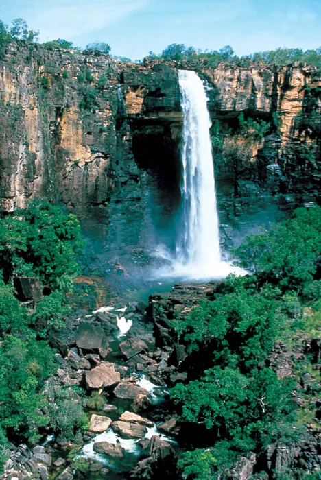
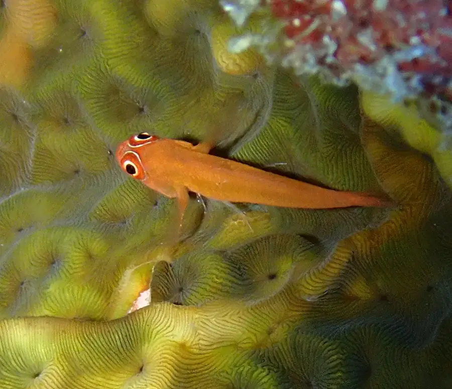
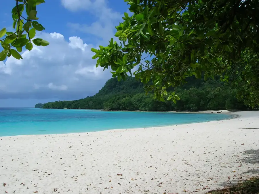
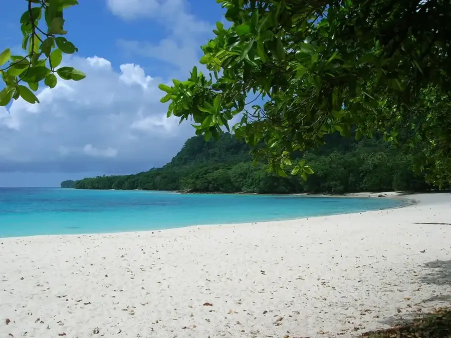
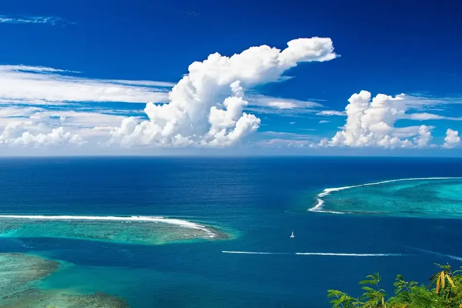
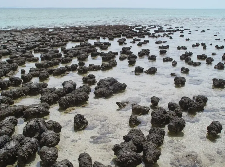
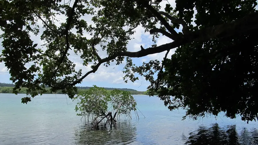
The Cumberland Peninsula extends from the northern tip of Espiritu Santo, the largest island in Vanuatu, and is one of the wildest and most inaccessible regions in the archipelago. This prominent headland is defined by a rugged mountain range that drops steeply into the Coral Sea, creating a dramatic coastal backdrop. The peninsula is blanketed in dense tropical rainforest that hosts immense biodiversity, including rare bird species and endemic flora. Historically, this area was the site of significant indigenous settlements, with archaeological traces still found in its hidden valleys. The terrain is so challenging that there are almost no developed roads, allowing the region to preserve its pristine character. The coastline is characterized by deep bays and coral reefs, which are vital for local fishing and marine conservation. Geologically, the peninsula consists of a mix of uplifted limestone and volcanic rock formations.
Best time to visit & climate
The most pleasant time to visit is Jul–Sep.
| Jan | Feb | Mar | Apr | May | Jun | Jul | Aug | Sep | Oct | Nov | Dec | |
|---|---|---|---|---|---|---|---|---|---|---|---|---|
| Avg °C | 28 | 28 | 28 | 28 | 27 | 27 | 26 | 26 | 26 | 27 | 27 | 28 |
| Rain mm | 262 | 249 | 273 | 273 | 181 | 137 | 87 | 87 | 86 | 131 | 182 | 188 |
📋 Practical info
Geography
Facts
- Northernmost point of Espiritu Santo island
- Highest peaks exceed 1,500 meters
- Home to the endemic Mountain Myzomela bird
- Densest pristine rainforest in Vanuatu
- Composed of geologically old limestone and basalt
- Virtually no road infrastructure exists
Explore nearby
Notable places around
Route planner — Car & Motorhome
Where do you start? We build the route here, with stops and country notes along the way.
© OpenStreetMap contributors · OpenRouteService
Sights nearby
Frequently asked questions
Is the peninsula easily accessible on foot?
Are there beaches there?
Is camping allowed?
Do you need a guide?
How is the infrastructure?
Cumberland Peninsula: where is it located?
Cumberland Peninsula: when is the best time to visit?
Cumberland Peninsula: why is it worth visiting?

Nearby cities


History & landmarks


Nature
More places