Plizio Visual Lab
Vatthe Conservation Area
Weather…
Water temperature…
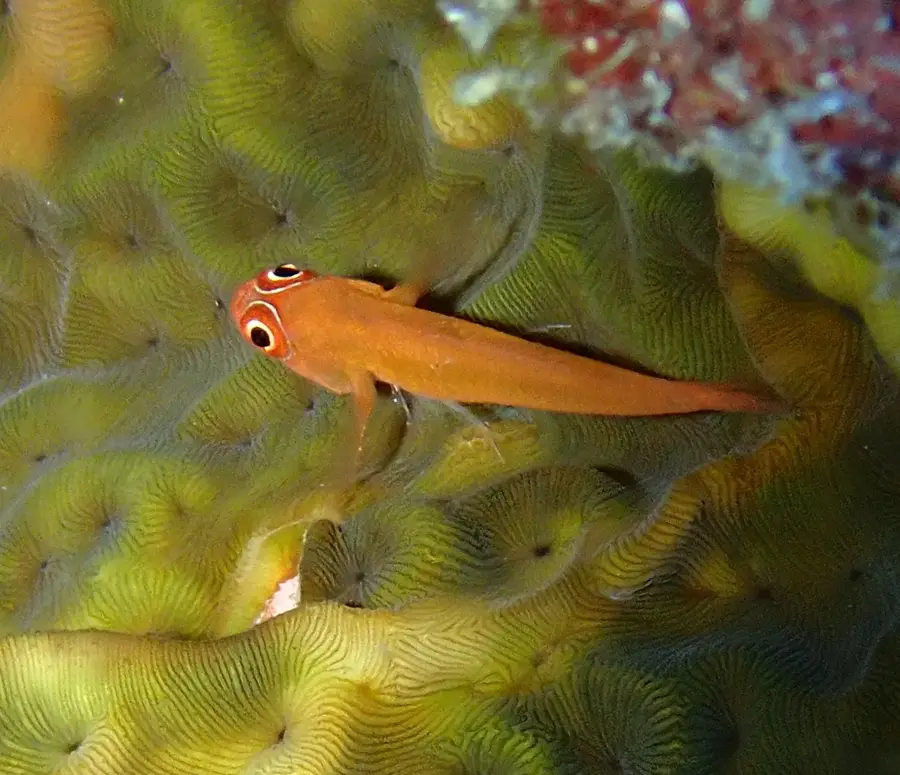
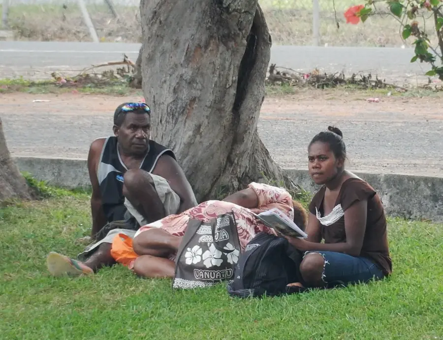
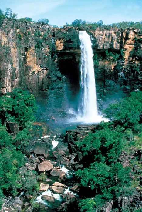
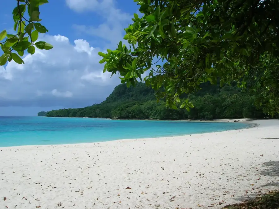
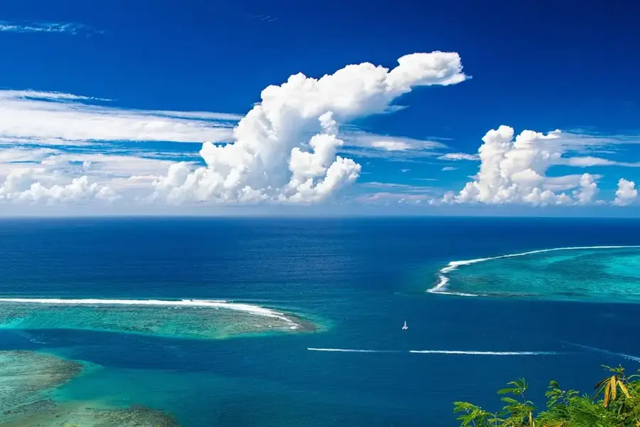
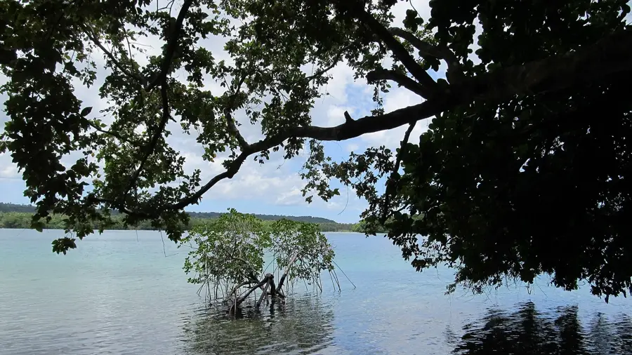
The Vatthe Conservation Area is a protected region in the north of Espiritu Santo island in Vanuatu, covering an area of approximately 2,300 hectares. It is renowned as the country's first community-managed conservation area, encompassing a variety of ecosystems from coastal forests to alluvial plains at the edge of Big Bay. The area was officially established in 1994 with the aim of saving the pristine lowland rainforest from logging and protecting local biodiversity. Vatthe is home to numerous endemic plant and animal species, including the rare Vanuatu Megapode and various species of flying foxes. Geographically, the reserve is defined by its location along the Jordan River and the adjacent Matantas Bay, creating a unique blend of freshwater and marine habitats. The local Matantas community plays a central role in monitoring the area, utilizing traditional knowledge for conservation. For scientists, Vatthe provides a valuable basis for studying Pacific island ecology and sustainable resource management.
Best time to visit & climate
The most pleasant time to visit is Jul–Sep.
| Jan | Feb | Mar | Apr | May | Jun | Jul | Aug | Sep | Oct | Nov | Dec | |
|---|---|---|---|---|---|---|---|---|---|---|---|---|
| Avg °C | 27 | 27 | 27 | 27 | 26 | 26 | 25 | 25 | 25 | 26 | 26 | 27 |
| Rain mm | 291 | 292 | 288 | 291 | 204 | 182 | 134 | 122 | 123 | 181 | 211 | 197 |
📋 Practical info
Geography
Facts
- Vatthe covers approximately 2,300 hectares of primary lowland rainforest.
- The area was established in 1994 as Vanuatu's first community-owned protected area.
- It is a major nesting site for the endemic Vanuatu Megapode (Megapodius layardi).
- The Jordan River, one of Vanuatu's largest rivers, flows through the area.
- At least 36 bird species have been documented within the conservation area boundaries.
- The local Matantas community manages the ecotourism and conservation efforts.
Explore nearby
Notable places around
Route planner — Car & Motorhome
Where do you start? We build the route here, with stops and country notes along the way.
© OpenStreetMap contributors · OpenRouteService
Sights nearby
Frequently asked questions
Is Vatthe suitable for hiking?
Do I need a permit?
Are there wild animals?
What is the best season?
How is the infrastructure?
Vatthe Conservation Area: where is it located?
Vatthe Conservation Area: when is the best time to visit?
Vatthe Conservation Area: why is it worth visiting?

Nearby cities


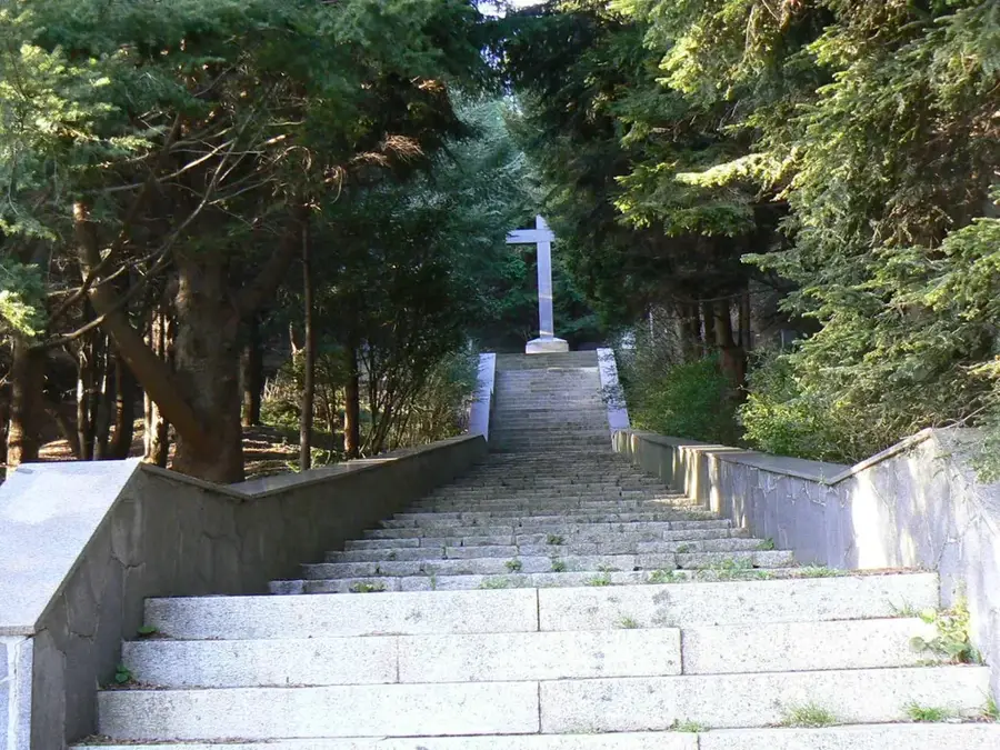
History & landmarks

Nature
More places