Plizio Visual Lab
Gissar Range
Weather…
Water temperature…
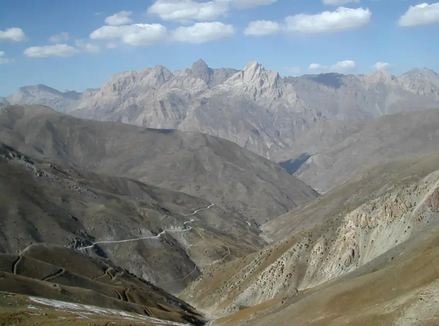
The Gissar Range is a massive mountain chain within the Pamir-Alay system, acting as a drainage divide between the Amu Darya and Zeravshan river basins. Stretching for about 200 kilometers across Tajikistan and Uzbekistan, it is a dominant feature of the regional geography. The highest point in Uzbekistan, Khazret Sultan Peak (4,643 meters), is located within this range. Geologically, the chain is composed of crystalline rocks and granite intrusions, resulting in jagged peaks and deep, dramatic gorges. The mountains house the Gissar State Nature Reserve, which protects a wide variety of fauna, including brown bears and numerous birds of prey. Historically, the Anzob Pass provided a strategic but perilous route connecting northern and southern Tajikistan. The range is also notable for its extensive karst cave systems and geothermal springs, which attract both scientific researchers and tourists.
- Location: Uzbekistan
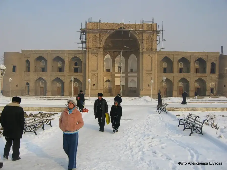
- Nearby: Sangardak (11 km)
Best time to visit & climate
The most pleasant time to visit is Jun–Aug.
| Jan | Feb | Mar | Apr | May | Jun | Jul | Aug | Sep | Oct | Nov | Dec | |
|---|---|---|---|---|---|---|---|---|---|---|---|---|
| Avg °C | -9 | -7 | -1 | 5 | 10 | 14 | 17 | 16 | 12 | 5 | -1 | -7 |
| Rain mm | 34 | 48 | 55 | 53 | 33 | 11 | 3 | 1 | 2 | 15 | 35 | 31 |
📋 Practical info
Geography
Facts
- Khazret Sultan (4,643m) is the highest peak in Uzbekistan.
- The range covers a distance of approximately 200 km.
- Serves as a watershed for the Amu Darya and Zeravshan rivers.
- Home to the Gissar Nature Reserve, the largest in the country.
- The strategic Anzob Pass sits at 3,372 meters elevation.
- Contains significant deposits of antimony and coal mines.
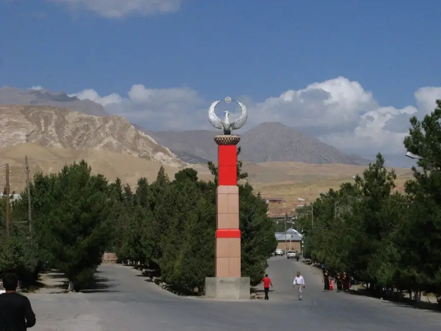
Explore nearby
Notable places around
Route planner — Car & Motorhome
Where do you start? We build the route here, with stops and country notes along the way.
© OpenStreetMap contributors · OpenRouteService
Sights nearby
Frequently asked questions
Where do the Gissar Mountains run?
Is it fully developed for tourism?
Are there organized tours there?
What is the infrastructure like?
Is a visa needed?
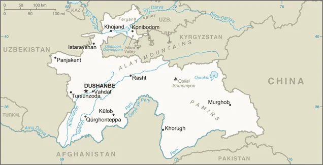
Gissar Range: where is it located?
Gissar Range: when is the best time to visit?
Gissar Range: why is it worth visiting?

Nearby cities
More places