Plizio Visual Lab
Babatag Range

Weather…
Water temperature…
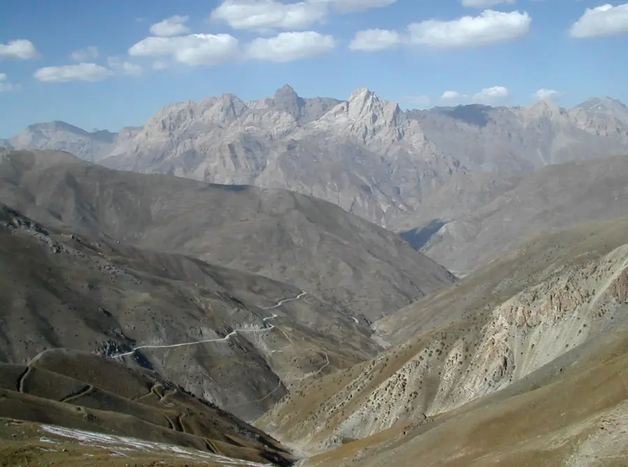
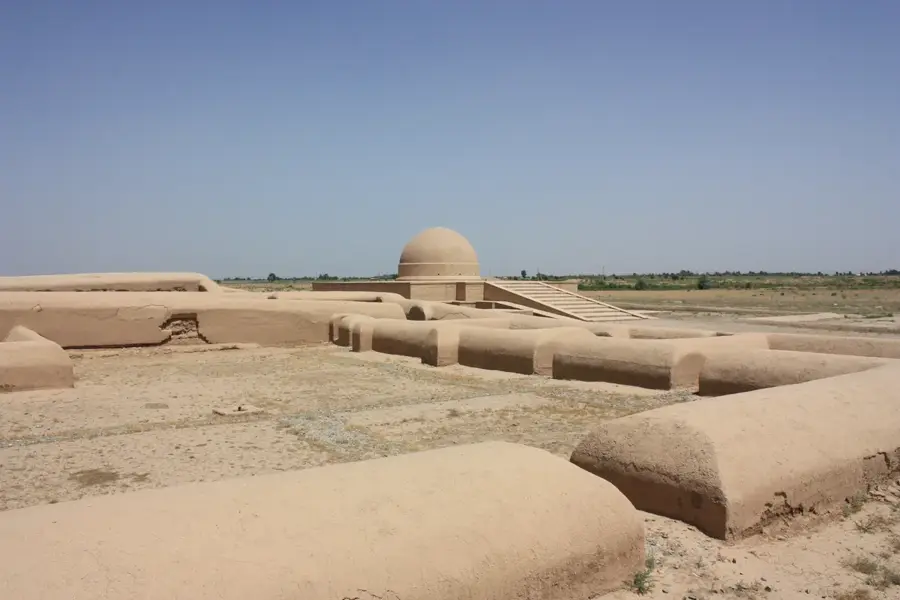
The Babatag Range is a distinctive mountain chain located in the southern part of Central Asia, running along the border between Uzbekistan's Surkhondaryo region and Tajikistan. Extending for about 125 kilometers, the range reaches its highest point at Zarkasa Peak, which stands at 2,292 meters. Unlike the glaciated giants of the Tien Shan, the Babatag is characterized by a semi-arid climate and a more barren landscape. Nevertheless, it hosts ecologically valuable stands of wild pistachio and juniper trees that have adapted to the dry conditions. Geologically, the range is dominated by limestones and sandstones uplifted during the Alpine orogeny. Historically, the region is noted for archaeological sites dating back to the Greco-Bactrian period. The mountains serve as a natural barrier separating the Surkhondaryo basin from the Kofarnihon valley, significantly influencing the local microclimate and wind patterns.
- Location: Uzbekistan
- Nearby: Denov (16 km)
Best time to visit & climate
The most pleasant time to visit is May, Sep, Oct.
| Jan | Feb | Mar | Apr | May | Jun | Jul | Aug | Sep | Oct | Nov | Dec | |
|---|---|---|---|---|---|---|---|---|---|---|---|---|
| Avg °C | 3 | 5 | 11 | 17 | 23 | 28 | 31 | 28 | 23 | 16 | 9 | 4 |
| Rain mm | 30 | 44 | 40 | 37 | 21 | 7 | 1 | 0 | 1 | 7 | 28 | 28 |
📋 Practical info
Geography
Facts
- The highest elevation is Zarkasa Peak at 2,292 meters.
- The range spans a distance of approximately 125 km.
- Composed primarily of limestone and sandstone rocks.
- Home to some of the region's largest wild pistachio forests.
- Acts as a climatic divide for the Surkhondaryo region.
- Contains remains of ancient settlements from the 3rd century BC.
Explore nearby
Notable places around
Route planner — Car & Motorhome
Where do you start? We build the route here, with stops and country notes along the way.
© OpenStreetMap contributors · OpenRouteService
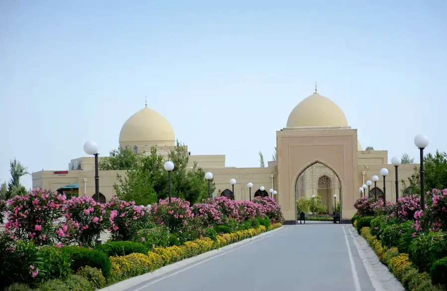
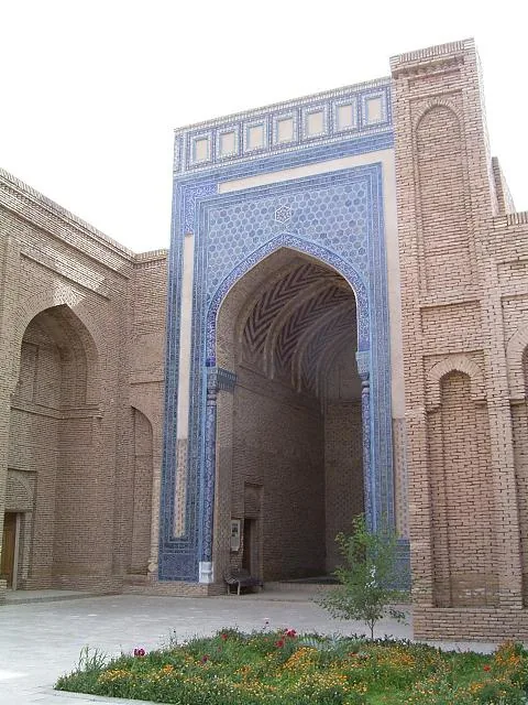
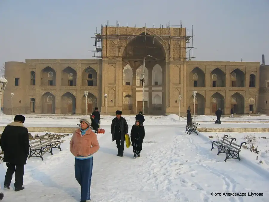
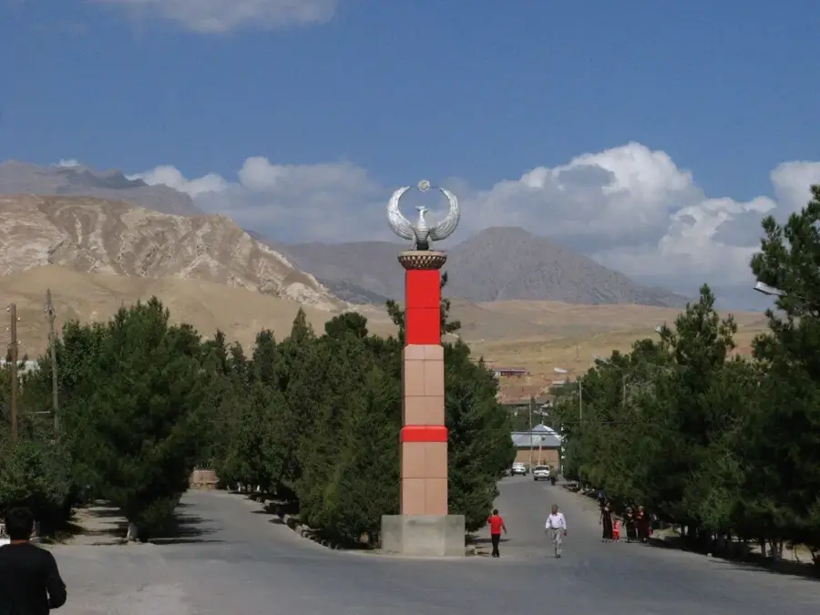
Sights nearby
Frequently asked questions
What is typical for the Babatag Mountains?
Is it a tourist destination?
How is the water supply?
Is it safe there?
Which season is best?
Babatag Range: where is it located?
Babatag Range: when is the best time to visit?
Babatag Range: why is it worth visiting?

Nearby cities
More places