Plizio Visual Lab
Sierra de las Cañas
Weather…
Water temperature…
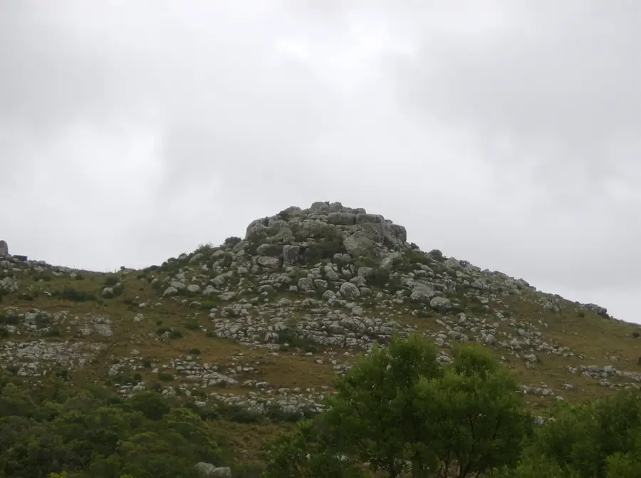
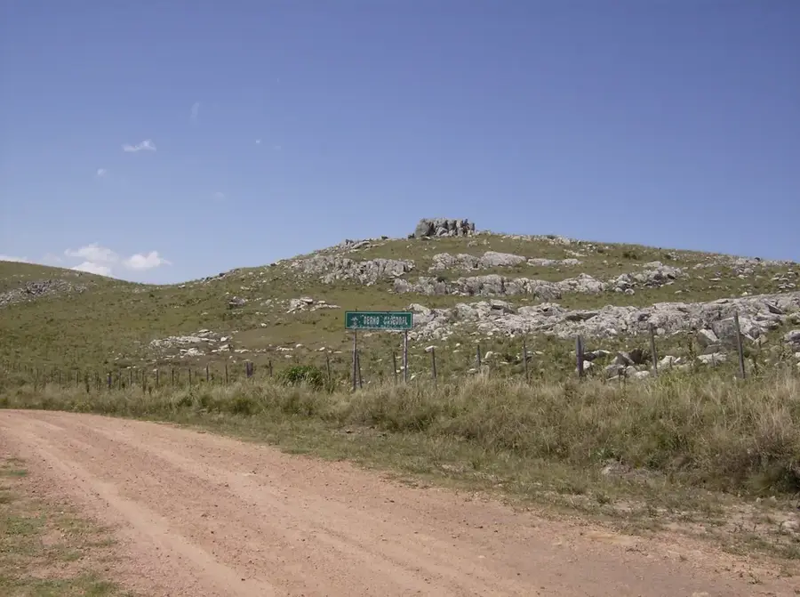
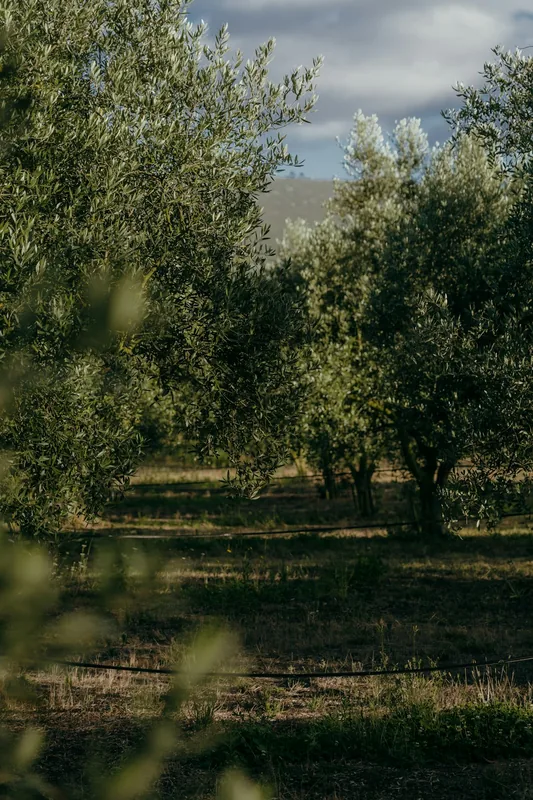
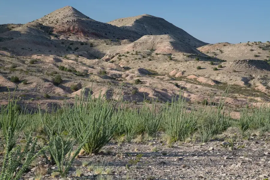
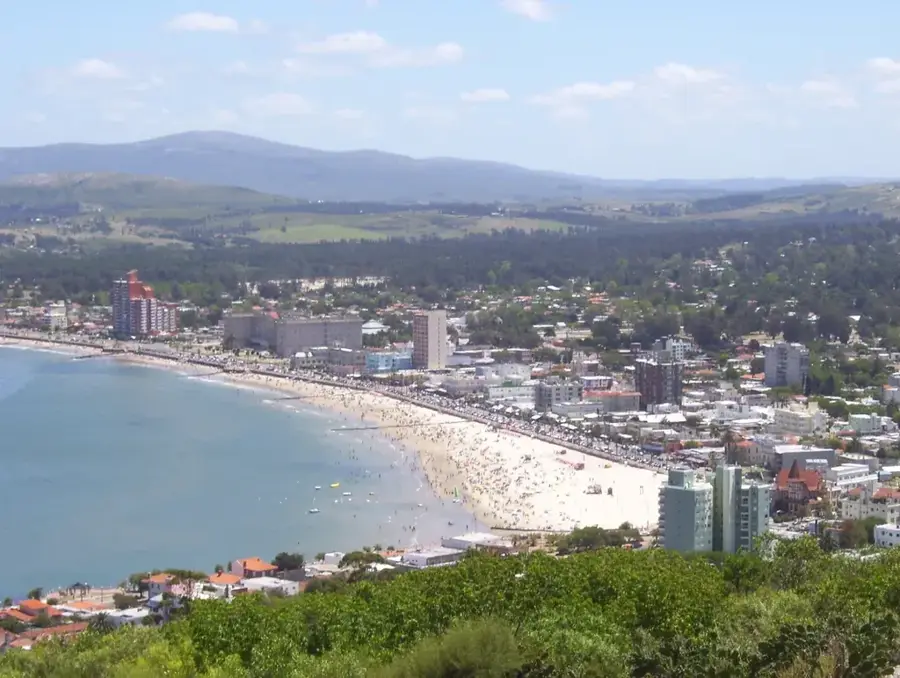
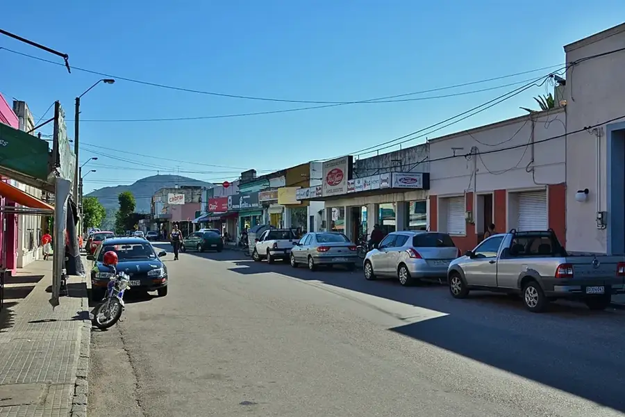
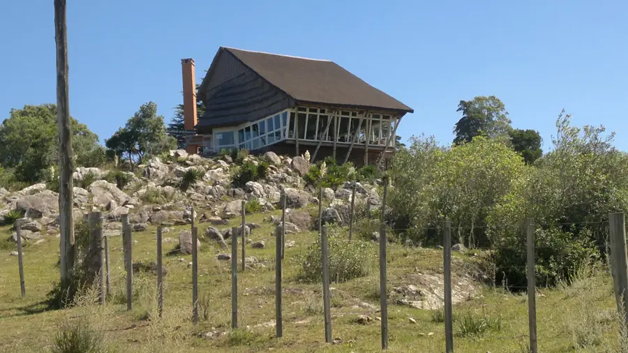
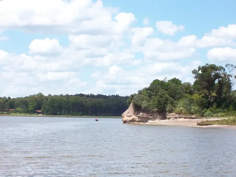
The Sierra de las Cañas is a hill range located in the departments of Maldonado and Rocha in southeastern Uruguay. It is an eastern extension of the better-known Sierra Carapé and part of the larger Cuchilla Grande system. The range reaches altitudes of around 200 to 250 meters and is composed mainly of Precambrian granite and metamorphic rocks. The landscape is characterized by gentle slopes, rocky outcrops, and valleys carved by small streams. The vegetation is a mix of Serrana grasslands and native forests in the sheltered valleys. While not as high as other parts of the Cuchilla Grande, the Sierra de las Cañas is scenically important and contributes to the biodiversity of the region. The main economic activity in this sparsely populated area is extensive cattle ranching, which is adapted to the natural conditions of the landscape.
- Location: Uruguay
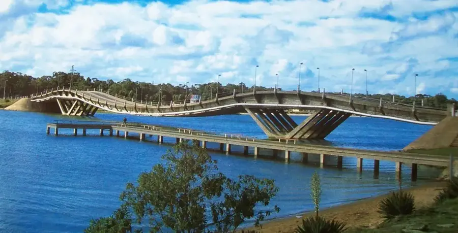
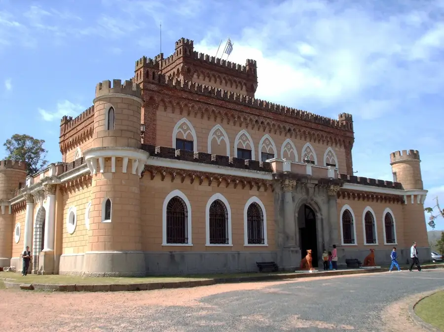
- Nearby: Villa Serrana (20 km)
Best time to visit & climate
The most pleasant time to visit is Jan, Feb, Dec.
| Jan | Feb | Mar | Apr | May | Jun | Jul | Aug | Sep | Oct | Nov | Dec | |
|---|---|---|---|---|---|---|---|---|---|---|---|---|
| Avg °C | 23 | 22 | 20 | 16 | 13 | 10 | 9 | 11 | 12 | 15 | 18 | 21 |
| Rain mm | 97 | 118 | 125 | 104 | 95 | 107 | 96 | 106 | 101 | 103 | 90 | 88 |
📋 Practical info
Geography
Facts
- Located in the Maldonado and Rocha departments.
- An eastern extension of the Sierra Carapé.
- Reaches altitudes of 200-250 meters.
- Composed of Precambrian granite rocks.
- The vegetation is a mix of grassland and forest.
- The main economic activity is extensive cattle ranching.
Explore nearby
Notable places around
Route planner — Car & Motorhome
Where do you start? We build the route here, with stops and country notes along the way.
© OpenStreetMap contributors · OpenRouteService
Sights nearby
Frequently asked questions
How is Sierra de las Cañas?
Who is it for?
What is the goal?
How is the path?
Is there food nearby?
Sierra de las Cañas: where is it located?
Sierra de las Cañas: when is the best time to visit?
Sierra de las Cañas: why is it worth visiting?

Nearby cities


History & landmarks


Nature

More places