Plizio Visual Lab
Cerro Catedral
Weather…
Water temperature…
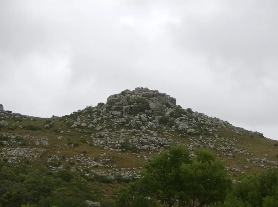
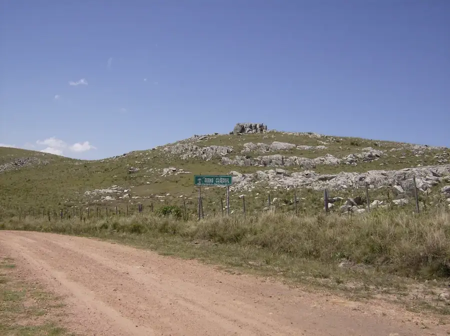
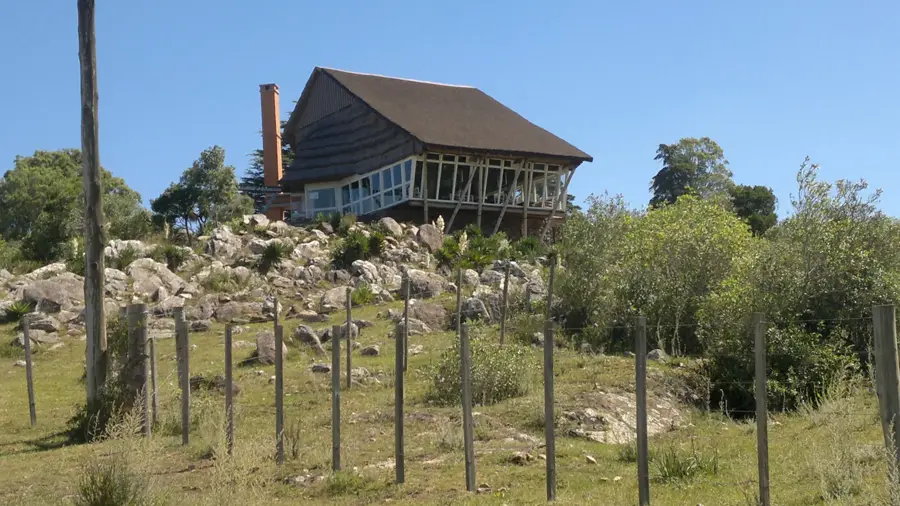
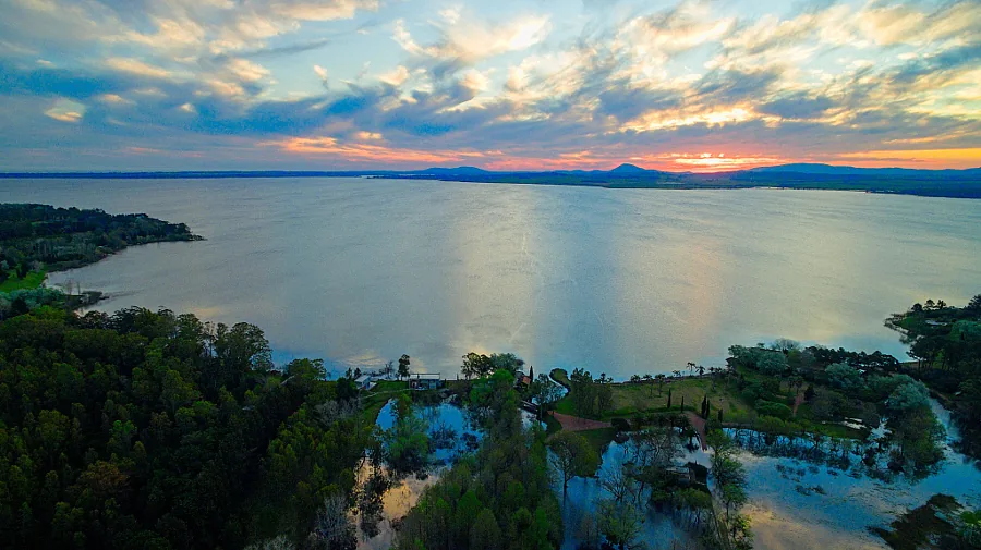
Cerro Catedral, also known as Cerro Cordillera, stands as the highest point in Uruguay with an elevation of 513.66 meters. It is located in the Maldonado Department, within the Sierra Carapé mountain range, a branch of the larger Cuchilla Grande system. Contrary to what its name ('Cathedral Hill') might suggest, the summit is not a dramatic, rocky peak but rather a gently rolling, grass-covered hill that is barely distinguishable from the surrounding hills. Its importance lies solely in its altitude, which was only confirmed in 1973 following a precise survey by the Military Geographic Service. Before that, Cerro de las Ánimas was believed to be the country's highest point. The ascent to Cerro Catedral is relatively easy and does not require any special mountaineering skills, making it an accessible destination for hikers. The summit is marked by a small cairn of stones and gives wide panoramic views of the rolling Maldonado landscape. Although not as visually striking as other hills in the region, such as Cerro Pan de Azúcar, Cerro Catedral is an important geographical landmark and a symbol of national pride as the 'roof of Uruguay'.
- Location: Uruguay
- Top sights: Cerro Baltasar · Cerro Catedral · Cerro de la Bola
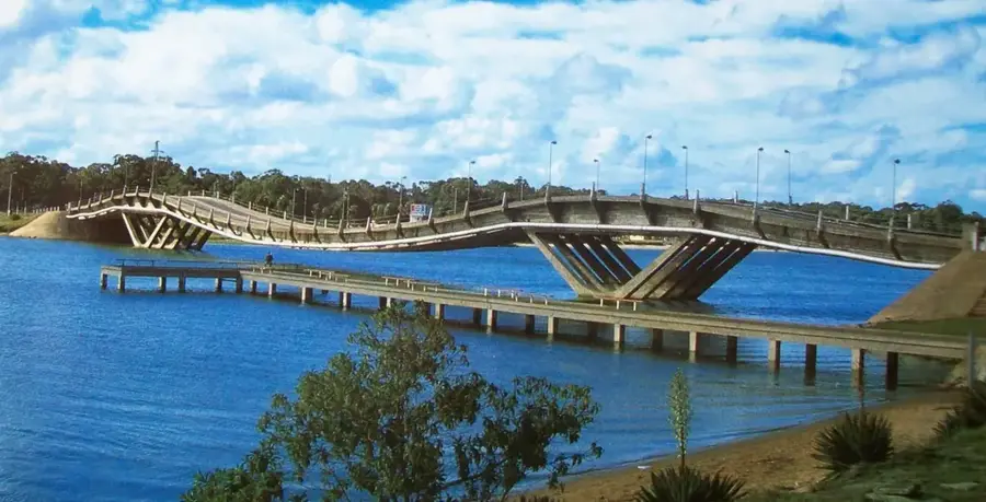
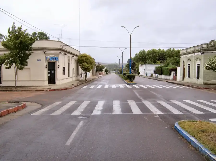
- Nearby: Aiguá (14 km)
Best time to visit & climate
The most pleasant time to visit is Jan, Nov, Dec.
| Jan | Feb | Mar | Apr | May | Jun | Jul | Aug | Sep | Oct | Nov | Dec | |
|---|---|---|---|---|---|---|---|---|---|---|---|---|
| Avg °C | 23 | 22 | 20 | 17 | 14 | 11 | 10 | 11 | 12 | 15 | 18 | 21 |
| Rain mm | 105 | 130 | 134 | 120 | 105 | 112 | 99 | 117 | 108 | 118 | 88 | 90 |
📋 Practical info
Geography
Facts
- Its elevation is 513.66 meters.
- It is the highest point in Uruguay.
- Located in the Maldonado Department, in the Sierra Carapé range.
- Its status as the highest point was officially confirmed only in 1973.
- Previously, Cerro de las Ánimas was thought to be the highest point.
- The ascent is relatively easy and accessible to hikers.
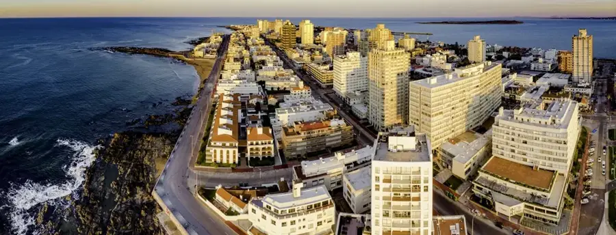
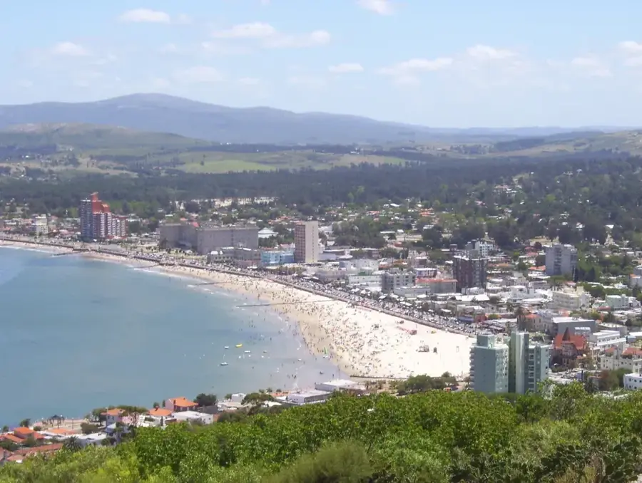
Explore nearby
Notable places around
Route planner — Car & Motorhome
Where do you start? We build the route here, with stops and country notes along the way.
© OpenStreetMap contributors · OpenRouteService
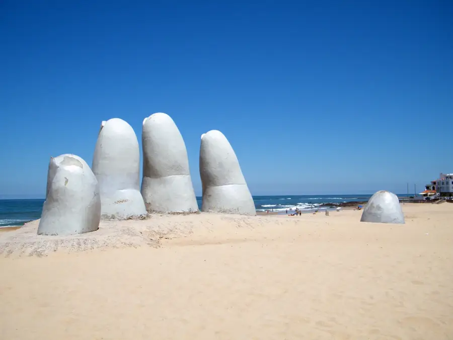
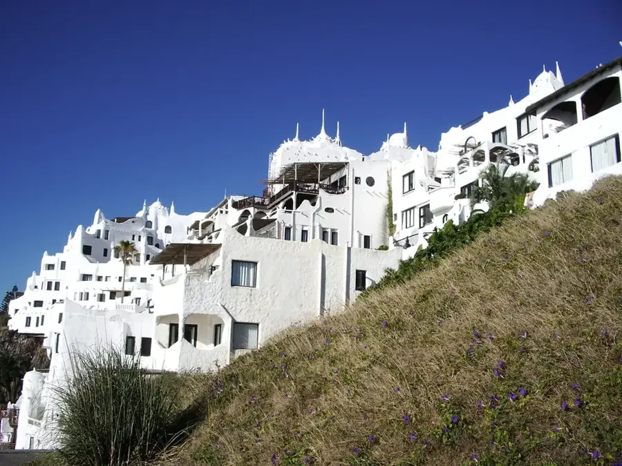
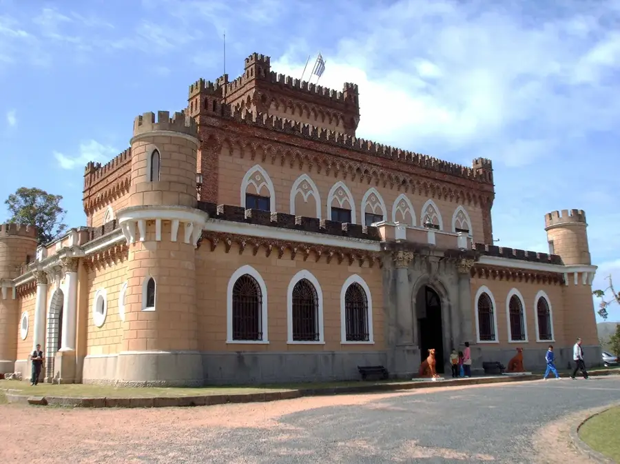
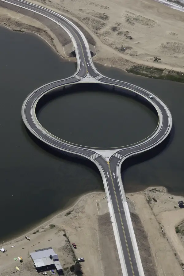
Sights in the town Cerro Catedral (3)
Sights nearby
Frequently asked questions
What is Cerro Catedral?
Is the hike difficult?
Is a guide needed?
How long does the ascent take?
How is the view?
Cerro Catedral: where is it located?
Cerro Catedral: what is there to see?
Cerro Catedral: when is the best time to visit?
Cerro Catedral: why is it worth visiting?

Nearby cities
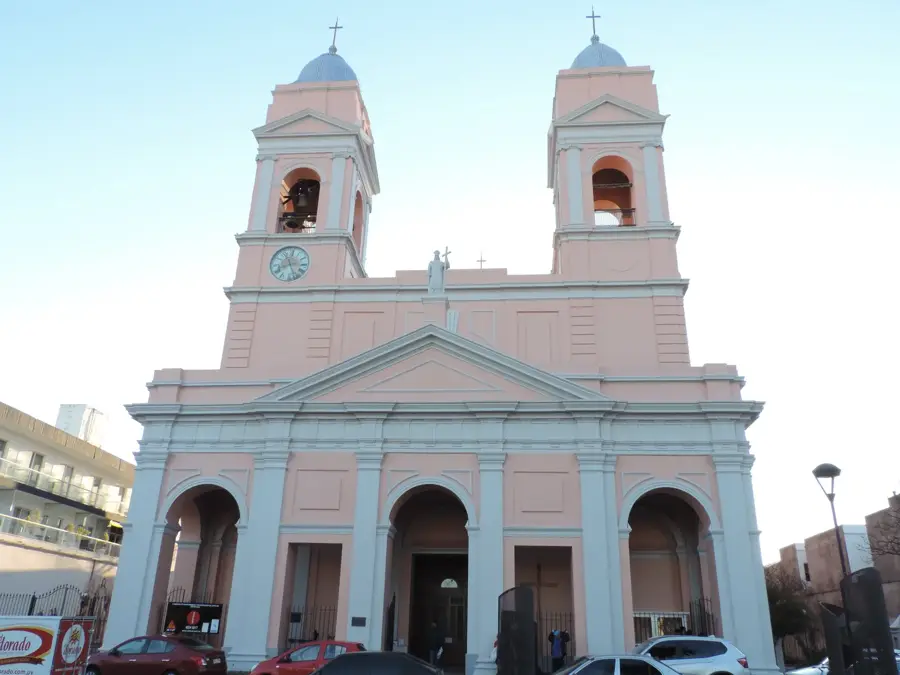
History & landmarks


Nature

More places